Ramna Geo
Coastal Feature, Headland, Point in Orkney
Scotland
Ramna Geo
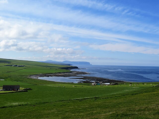
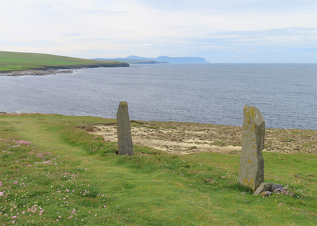
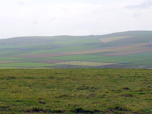
Ramna Geo is a prominent coastal feature located in the Orkney Islands, situated off the northeastern coast of mainland Scotland. It is a stunning headland that juts out into the North Sea, offering breathtaking views of the surrounding landscape.
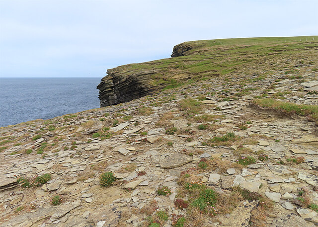
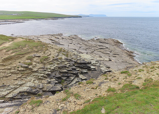
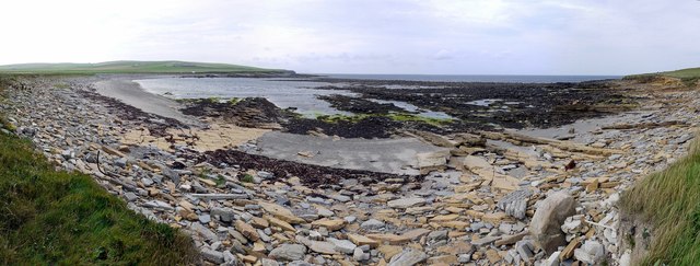
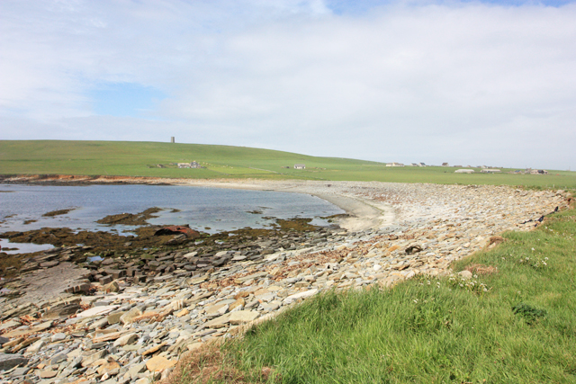
The headland is characterized by its rugged cliffs, which tower above the crashing waves below. These cliffs are composed of sandstone and are known for their distinctive red color, giving Ramna Geo a unique and striking appearance. The exposed rock formations in the area provide a glimpse into the geological history of the region, with layers of sedimentary rock dating back millions of years.
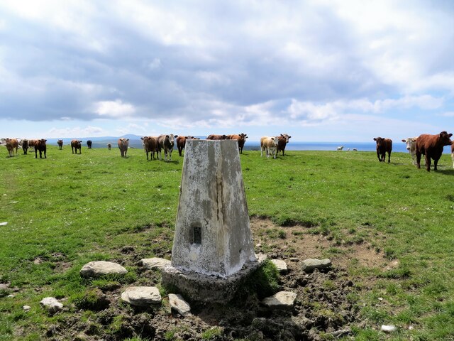
Ramna Geo is also famous for its diverse wildlife. The surrounding waters are home to a variety of marine species, including seals, dolphins, and numerous seabirds. Visitors may be fortunate enough to spot puffins, guillemots, and kittiwakes nesting on the cliffs during the breeding season.
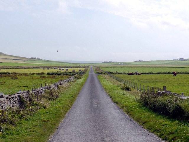
Access to Ramna Geo is relatively easy, with a well-maintained footpath leading to the headland from the nearby village of Birsay. The path offers stunning coastal views along the way, adding to the overall experience. Due to its exposed location, it is advisable to take caution when visiting during stormy weather, as the strong winds and high waves can make the area dangerous.
Ramna Geo is a must-visit destination for nature enthusiasts, offering a unique blend of dramatic cliffs, stunning coastal scenery, and abundant wildlife. Whether exploring the geological wonders or simply enjoying the tranquility of the surroundings, Ramna Geo is a true gem of the Orkney Islands.
If you have any feedback on the listing, please let us know in the comments section below.
Ramna Geo Images
Images are sourced within 2km of 59.083924/-3.3534216 or Grid Reference HY2222. Thanks to Geograph Open Source API. All images are credited.


Ramna Geo is located at Grid Ref: HY2222 (Lat: 59.083924, Lng: -3.3534216)
Unitary Authority: Orkney Islands
Police Authority: Highlands and Islands
What 3 Words
///examine.skate.accompany. Near Sandwick, Orkney Islands
Nearby Locations
Related Wikis

Bay of Skaill
The Bay of Skaill (from Old Norse Bugr Skála) is a small bay on the west coast of the Orkney Mainland, Scotland. == Visitor attractions == Bay of Skaill...

Skara Brae
Skara Brae is a stone-built Neolithic settlement, located on the Bay of Skaill on the west coast of Mainland, the largest island in the Orkney archipelago...

RNAS Twatt (HMS Tern)
Royal Naval Air Station Twatt, (RNAS Twatt; or HMS Tern) is a former Royal Navy Air Station located near Twatt, Orkney, Scotland. It was built by the Admiralty...
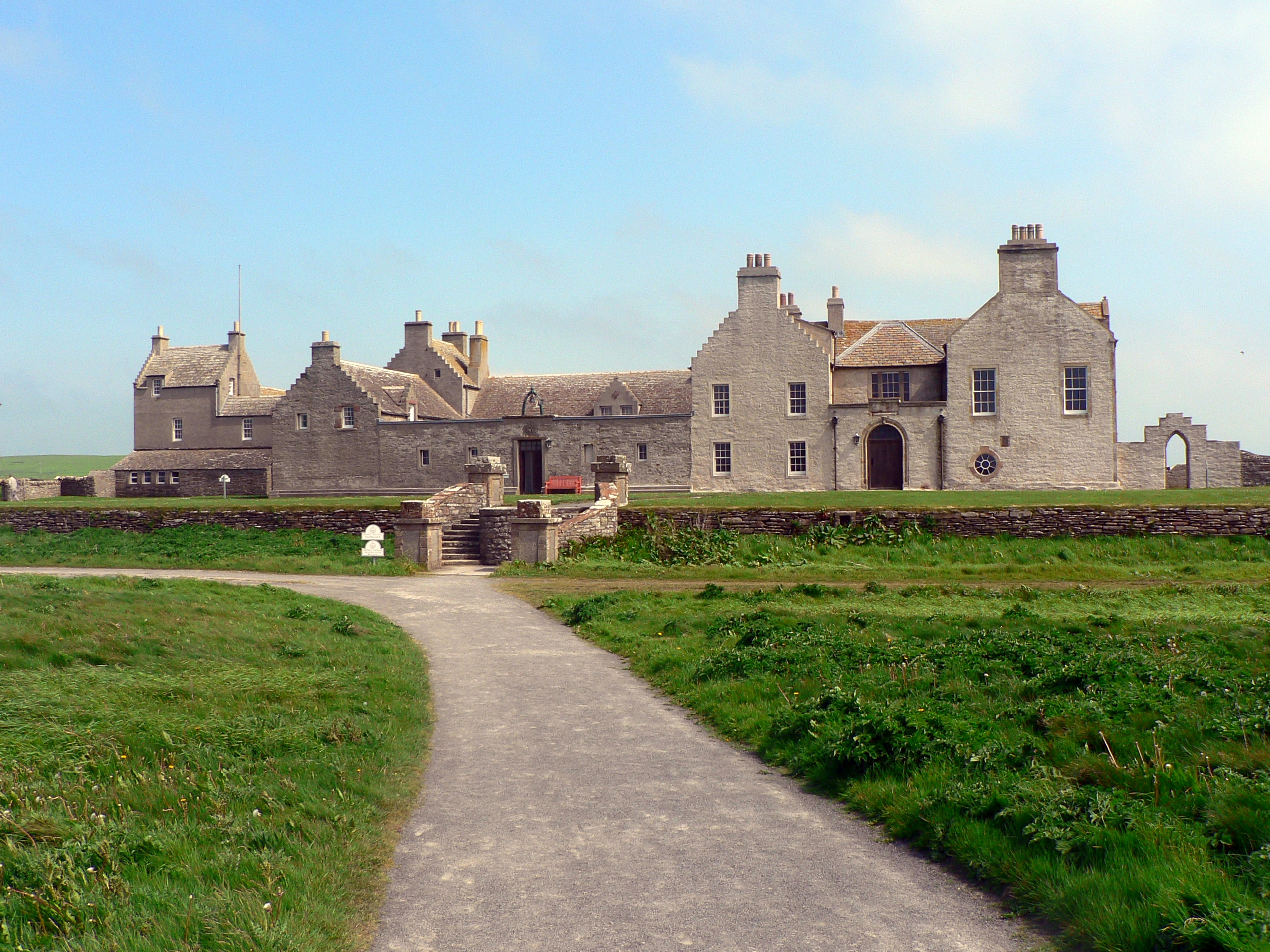
Skaill House
Skaill House is a historic manor house in Sandwick parish on Mainland, the largest of the Orkney Islands, Scotland. The house overlooks the neolithic site...

HMS Hampshire (1903)
HMS Hampshire was one of six Devonshire-class armoured cruisers built for the Royal Navy in the first decade of the 20th century. She was assigned to the...

Sandwick, Orkney
Sandwick (Old Norse: Sandvík; Norn: Sandvik) is a parish on the west coast of Mainland, Orkney, Scotland, 4 miles (6.4 km) north of Stromness.The parish...

Twatt, Orkney
Twatt is a settlement in the parish of Birsay on the Mainland of Orkney, Scotland. It was previously the location of RNAS Twatt (HMS Tern), 1940–1949....

Loch of Skaill
The Loch of Skaill is a small somewhat triangular, freshwater loch in the parish of Sandwick, Orkney on Mainland Orkney, Scotland. It lies 0.5 mi (0.80...
Nearby Amenities
Located within 500m of 59.083924,-3.3534216Have you been to Ramna Geo?
Leave your review of Ramna Geo below (or comments, questions and feedback).