Ootsuir
Coastal Feature, Headland, Point in Orkney
Scotland
Ootsuir
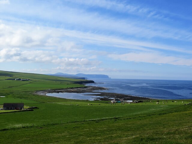
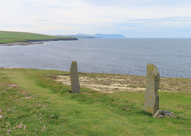
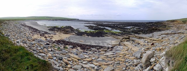
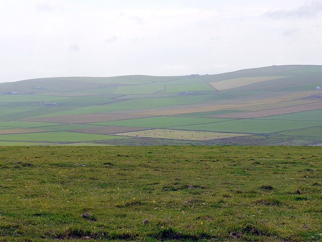
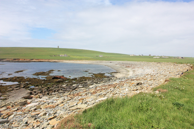
Ootsuir is a prominent coastal feature located in Orkney, an archipelago situated off the northeastern coast of Scotland. It is classified as a headland, also referred to as a point, due to its distinct geographical structure and its position jutting out into the sea.
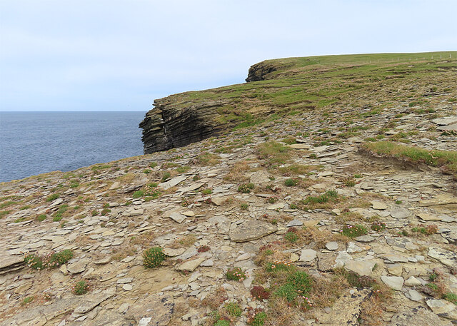
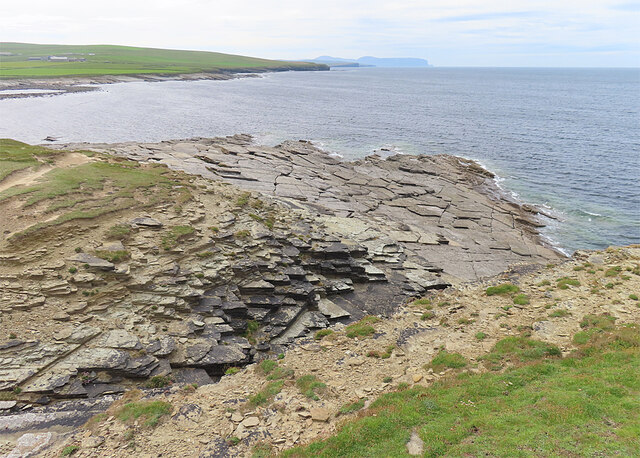
Ootsuir is characterized by its rugged and rocky cliffs, which rise steeply from the surrounding coastal landscape, offering breathtaking views of the North Sea. The headland is composed of a variety of rock formations, including sandstone and flagstone, which have been shaped over time by the relentless force of the crashing waves.
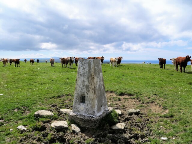
The location of Ootsuir makes it an ideal spot for wildlife enthusiasts and birdwatchers, as it provides a habitat for numerous seabird species. Visitors can often spot gannets, puffins, and fulmars nesting on the cliffs, adding to the natural beauty of the area.
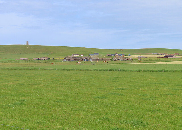
In addition to its natural features, Ootsuir also holds historical significance. The headland is home to the remains of an ancient settlement, dating back to the Iron Age. Archaeological excavations have revealed evidence of human occupation, such as stone structures and artifacts, providing valuable insights into the past inhabitants of the area.
Ootsuir is a popular destination for outdoor activities such as hiking and photography. Its dramatic cliffs, diverse wildlife, and historical importance make it a must-visit location for those exploring the Orkney archipelago.
If you have any feedback on the listing, please let us know in the comments section below.
Ootsuir Images
Images are sourced within 2km of 59.084425/-3.3536158 or Grid Reference HY2222. Thanks to Geograph Open Source API. All images are credited.


Ootsuir is located at Grid Ref: HY2222 (Lat: 59.084425, Lng: -3.3536158)
Unitary Authority: Orkney Islands
Police Authority: Highlands and Islands
What 3 Words
///callers.pace.impresses. Near Sandwick, Orkney Islands
Nearby Locations
Related Wikis

Bay of Skaill
The Bay of Skaill (from Old Norse Bugr Skála) is a small bay on the west coast of the Orkney Mainland, Scotland. == Visitor attractions == Bay of Skaill...

RNAS Twatt (HMS Tern)
Royal Naval Air Station Twatt, (RNAS Twatt; or HMS Tern) is a former Royal Navy Air Station located near Twatt, Orkney, Scotland. It was built by the Admiralty...

Skara Brae
Skara Brae is a stone-built Neolithic settlement, located on the Bay of Skaill on the west coast of Mainland, the largest island in the Orkney archipelago...
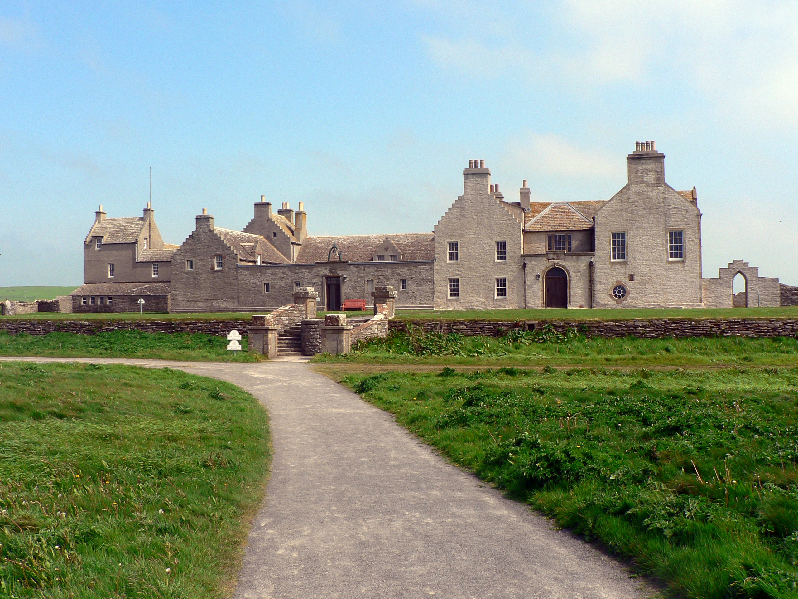
Skaill House
Skaill House is a historic manor house in Sandwick parish on Mainland, the largest of the Orkney Islands, Scotland. The house overlooks the neolithic site...

HMS Hampshire (1903)
HMS Hampshire was one of six Devonshire-class armoured cruisers built for the Royal Navy in the first decade of the 20th century. She was assigned to the...

Sandwick, Orkney
Sandwick (Old Norse: Sandvík; Norn: Sandvik) is a parish on the west coast of Mainland, Orkney, Scotland, 4 miles (6.4 km) north of Stromness.The parish...

Twatt, Orkney
Twatt is a settlement in the parish of Birsay on the Mainland of Orkney, Scotland. It was previously the location of RNAS Twatt (HMS Tern), 1940–1949....

Loch of Skaill
The Loch of Skaill is a small somewhat triangular, freshwater loch in the parish of Sandwick, Orkney on Mainland Orkney, Scotland. It lies 0.5 mi (0.80...
Nearby Amenities
Located within 500m of 59.084425,-3.3536158Have you been to Ootsuir?
Leave your review of Ootsuir below (or comments, questions and feedback).