Black Ness
Coastal Feature, Headland, Point in West Lothian
Scotland
Black Ness
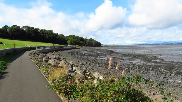
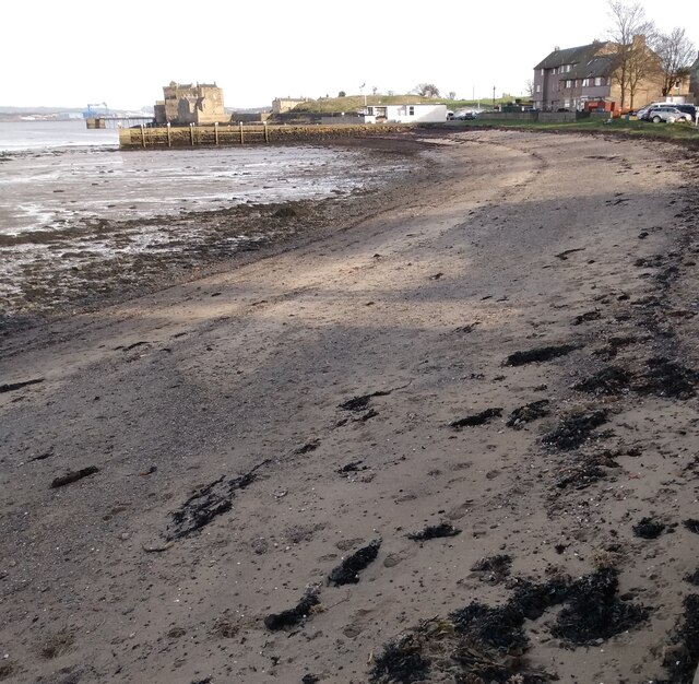
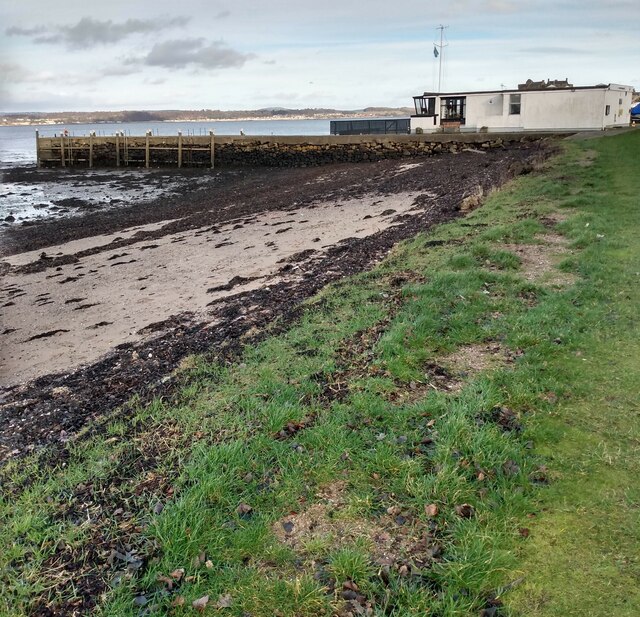
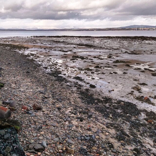
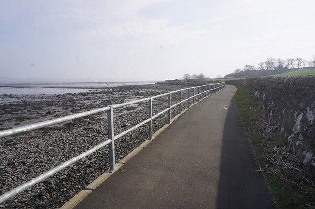
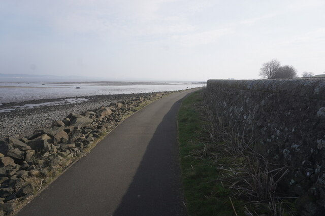
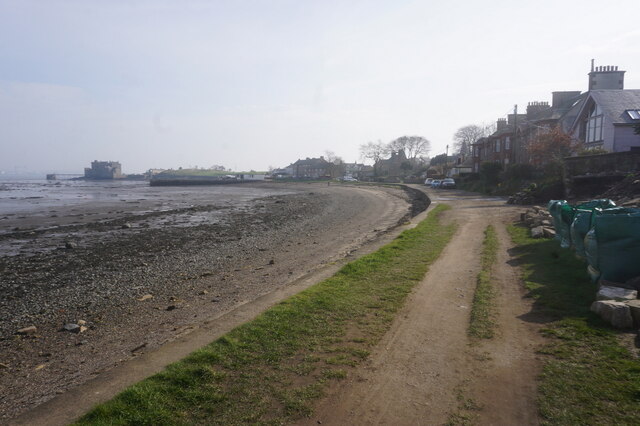
Black Ness is a prominent coastal feature located in West Lothian, Scotland. Situated on the southern shore of the Firth of Forth, it is a well-known headland that extends into the North Sea. The area is characterized by its rugged cliffs, rocky shores, and stunning panoramic views.
As a headland, Black Ness juts out into the sea, forming a distinctive point along the coastline. The cliffs that surround the headland are comprised of sedimentary rocks, showcasing layers of sandstone, shale, and limestone. These geological formations provide a glimpse into the region's ancient history and are often explored by geologists and nature enthusiasts.
The headland is also home to a diverse array of marine and bird life. The rocky shores are frequented by various species of wading birds, such as oystercatchers and sandpipers, while the surrounding waters teem with marine creatures like seals and seabirds. The area is a popular spot for birdwatching and wildlife photography.
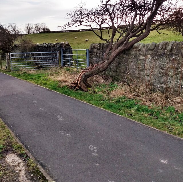
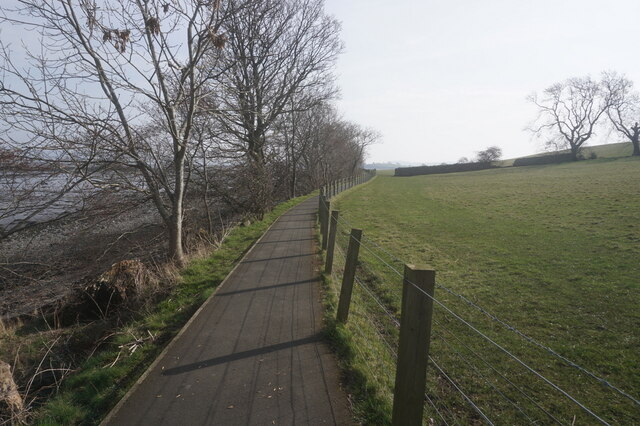
In addition to its natural beauty, Black Ness offers visitors a range of recreational activities. The cliff paths and trails provide excellent opportunities for hiking and walking, allowing visitors to explore the headland's picturesque surroundings. The views from the top of the cliffs are particularly breathtaking, offering vistas of the North Sea and the surrounding coastal landscape.
Overall, Black Ness is a captivating coastal feature in West Lothian, offering a unique blend of natural beauty, geological significance, and recreational opportunities.
If you have any feedback on the listing, please let us know in the comments section below.
Black Ness Images
Images are sourced within 2km of 56.006004/-3.5140891 or Grid Reference NT0580. Thanks to Geograph Open Source API. All images are credited.

Black Ness is located at Grid Ref: NT0580 (Lat: 56.006004, Lng: -3.5140891)
Unitary Authority: Falkirk
Police Authority: Forth Valley
What 3 Words
///deals.order.transmits. Near Limekilns, Fife
Nearby Locations
Related Wikis

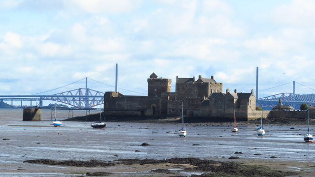
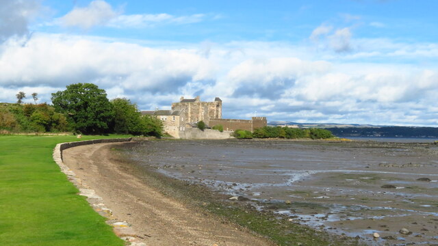
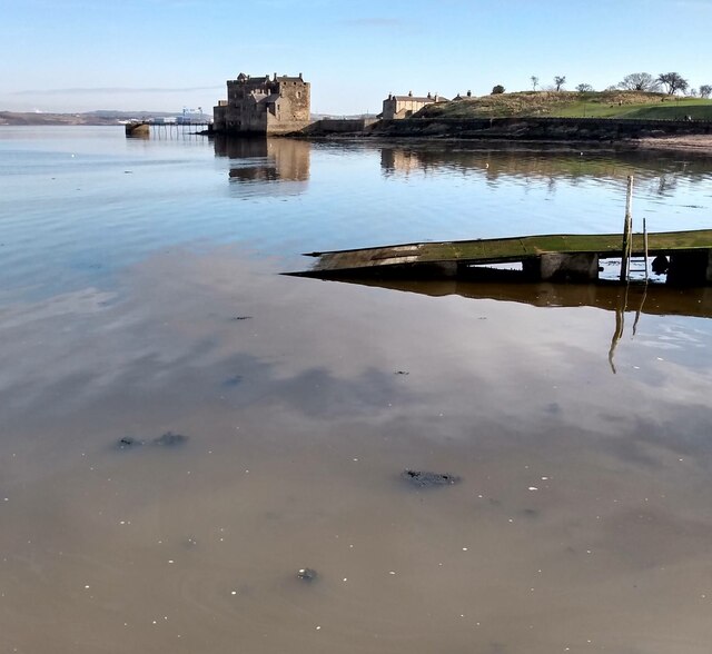
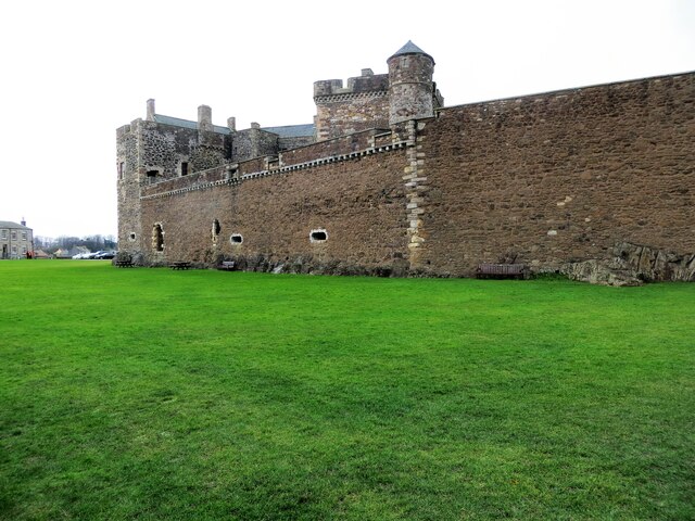
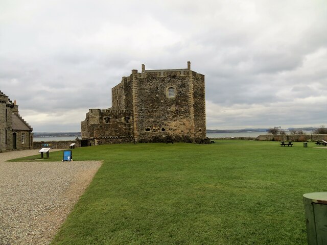
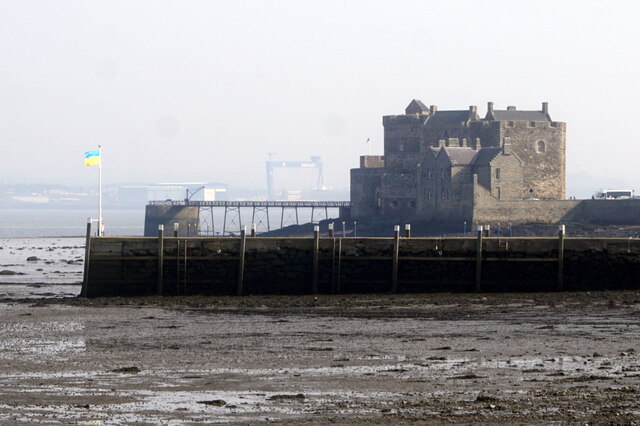
Blackness Castle
Blackness Castle is a 15th-century fortress, near the village of Blackness, Scotland, on the south shore of the Firth of Forth. It was built, probably...

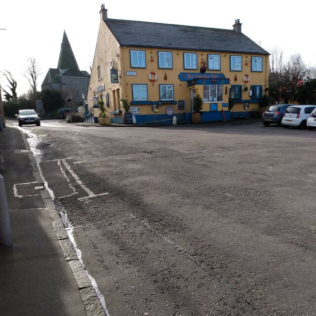
Blackness, Falkirk
Blackness is a small village and harbour at Blackness Bay, an inlet of the Firth of Forth in Scotland. It lies 3.4 mi (5.5 km) east-southeast of Bo'ness...

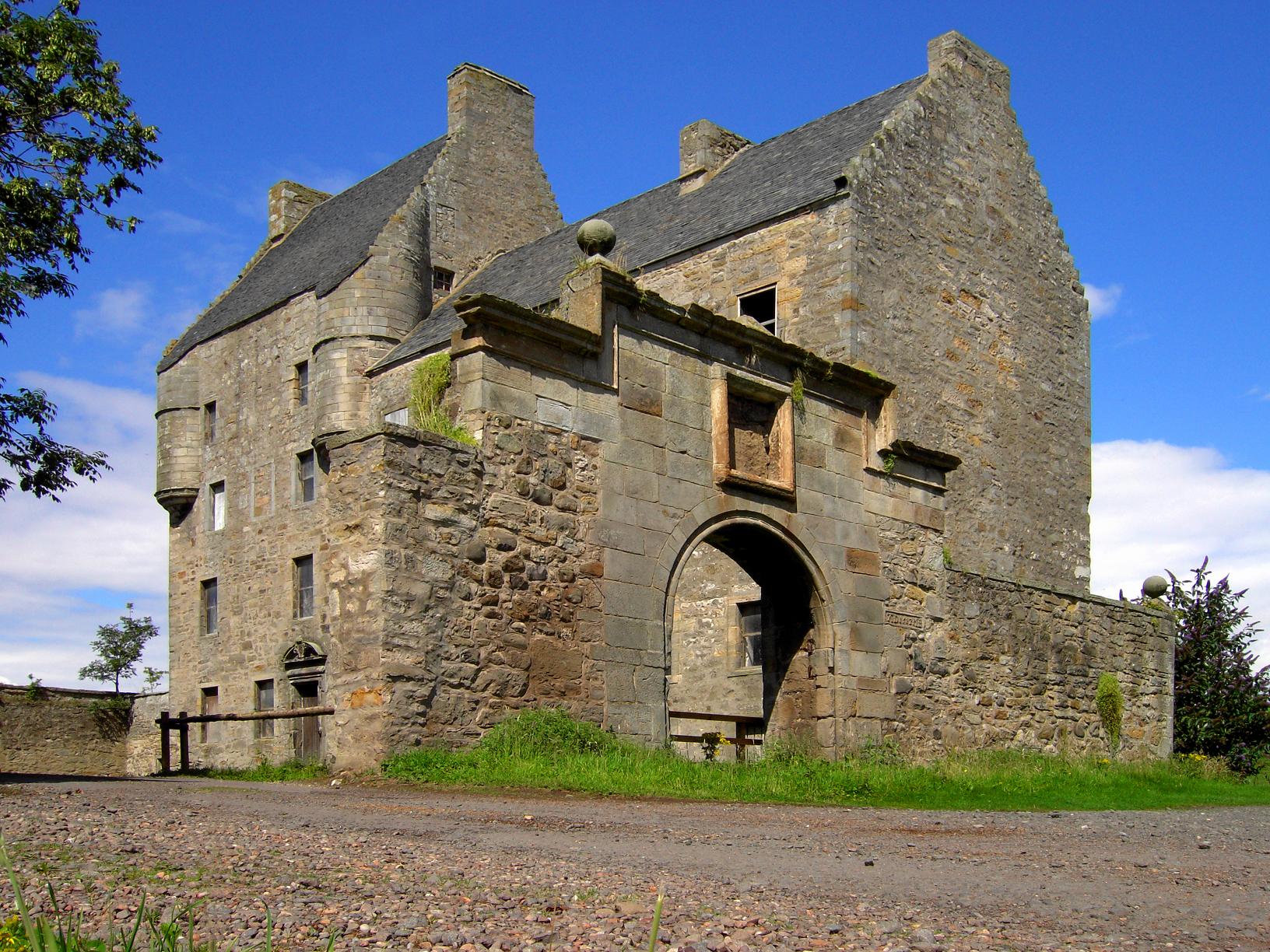
House of the Binns
The House of the Binns, or simply the Binns, is a historic house in West Lothian, Scotland, the seat of the Dalyell family (pronounced dee el). It dates...
Midhope Castle
Midhope Castle is a 15th-century tower house in Scotland. It is situated in the hamlet of Abercorn on the Hopetoun estate, About 4 kilometres (2.5 mi)...

Abercorn Castle
Abercorn Castle was a 12th-century castle near Abercorn in West Lothian, Scotland. == History == The castle was in the possession of William de Avenel...

Champany, Falkirk
Champany is a hamlet in Falkirk, on the junctions of the A904 and A803 roads near Linlithgow, West Lothian, Scotland. == See also == Champany Inn ��2...
Abercorn
Abercorn (Gaelic: Obar Chùirnidh, Old English: Æbbercurnig) is a village and civil parish in West Lothian, Scotland. Close to the south coast of the Firth...
Philpstoun railway station
Philpstoun railway station was a railway station in the village of Philpstoun, to the east of Linlithgow in West Lothian, Scotland. It was located on the...
Nearby Amenities
Located within 500m of 56.006004,-3.5140891Have you been to Black Ness?
Leave your review of Black Ness below (or comments, questions and feedback).