Splatcove Point
Coastal Feature, Headland, Point in Devon South Hams
England
Splatcove Point
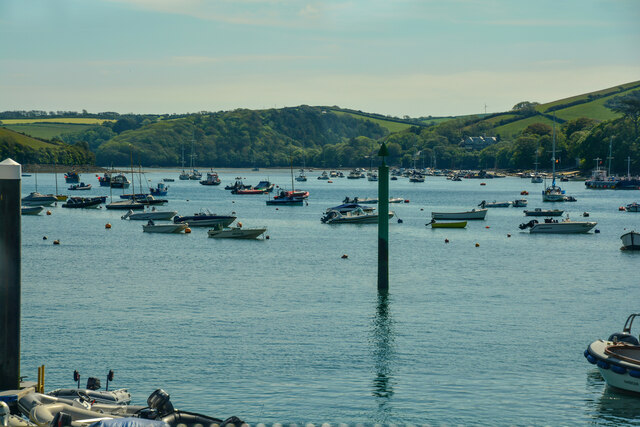
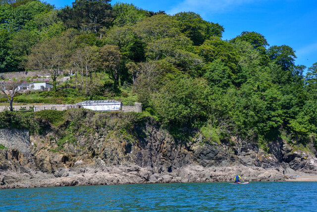
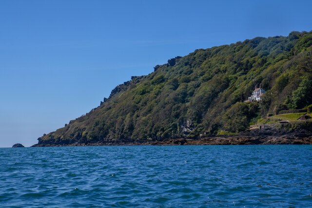
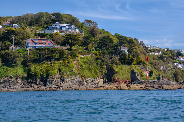
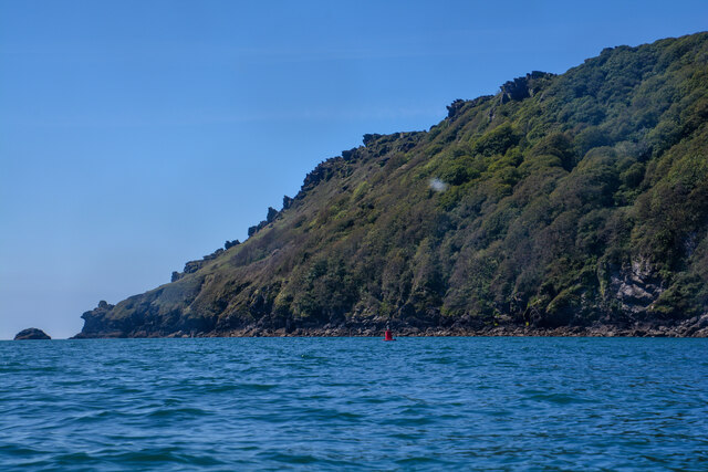
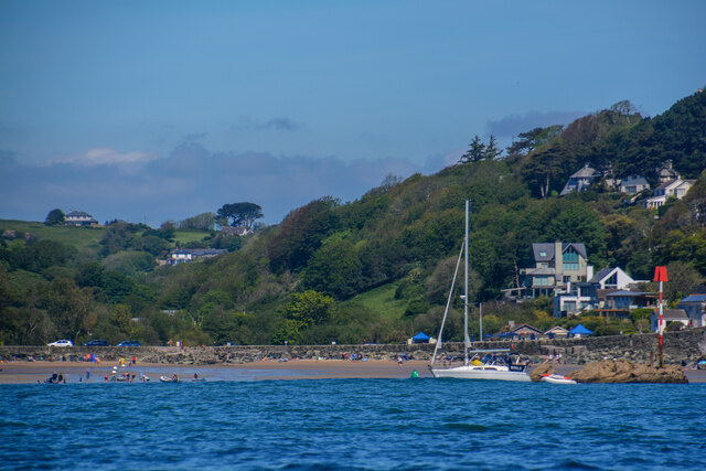
Splatcove Point is a prominent headland located on the coast of Devon, England. Situated in the southwestern part of the county, it is a well-known coastal feature that attracts visitors from near and far.
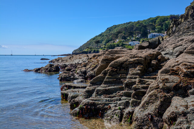
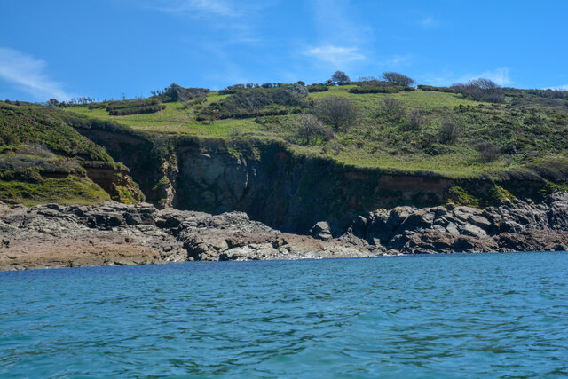
This picturesque headland offers breathtaking views of the surrounding coastline, with its rugged cliffs and dramatic rock formations. The point juts out into the sea, creating a natural barrier between the land and the crashing waves. This geographical feature has been formed over thousands of years through the erosive forces of the ocean.
The cliffs of Splatcove Point are composed of a variety of rock types, including limestone, shale, and sandstone. These different formations give the area a unique geological diversity, making it an important site for geologists and nature enthusiasts.
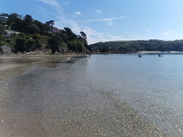
The headland is also home to a diverse range of flora and fauna. The rocky cliffs provide nesting sites for seabirds such as gulls and fulmars, while the surrounding coastal heath supports a variety of plant species, including heather and gorse.
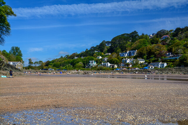
In addition to its natural beauty, Splatcove Point offers opportunities for outdoor activities. Visitors can enjoy hiking along the coastal path that runs along the headland, taking in the stunning vistas and enjoying the fresh sea breeze. The area is also popular for rock climbing, with its rugged cliffs providing a challenging and rewarding experience for climbers of all levels.
Overall, Splatcove Point is a remarkable coastal feature that showcases the natural beauty of Devon. Its stunning cliffs, diverse wildlife, and recreational opportunities make it a must-visit destination for nature lovers and adventure seekers alike.
If you have any feedback on the listing, please let us know in the comments section below.
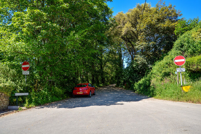
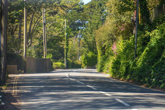
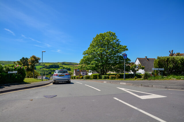
Splatcove Point Images
Images are sourced within 2km of 50.224406/-3.7807639 or Grid Reference SX7337. Thanks to Geograph Open Source API. All images are credited.


Splatcove Point is located at Grid Ref: SX7337 (Lat: 50.224406, Lng: -3.7807639)
Administrative County: Devon
District: South Hams
Police Authority: Devon and Cornwall
What 3 Words
///screamed.easily.muted. Near Salcombe, Devon
Nearby Locations
Related Wikis

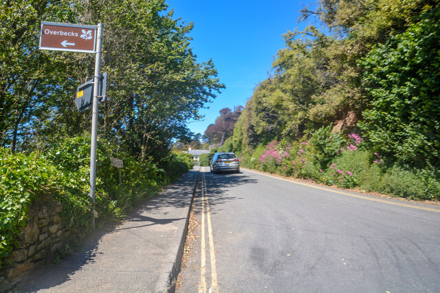
Overbeck's
Overbeck's Museum and Garden is an Edwardian house and 2.75 hectare (7 acre) garden at Sharpitor, Salcombe, Devon, England. It is named after its last...

Salcombe Castle
Salcombe Castle or Fort Charles is a ruined fortification just off the beach of North Sands in Salcombe, Devon, England, within the South Devon Area of...

RAF Hope Cove
Royal Air Force Hope Cove or more simply RAF Hope Cove is a former Royal Air Force radar station. It is located about 1 mile (1.6 km) south west of Salcombe...

Salcombe
Salcombe is a resort town in the South Hams district of Devon, south west England. The town is close to the mouth of the Kingsbridge Estuary, mostly built...

Bolt Head
Bolt Head is a National Trust headland on the South Coast of Devon, England, United Kingdom, situated west of the Kingsbridge Estuary. It is a popular...
RAF Bolt Head
Royal Air Force Bolt Head or more simply RAF Bolt Head is a former Royal Air Force satellite airfield 1 mile (1.6 km) south west of Salcombe on the south...

Salcombe Lifeboat Station
Salcombe Lifeboat Station is the base for Royal National Lifeboat Institution (RNLI) search and rescue operations at Salcombe, Devon in England. The first...

Hallowe'en (clipper)
Hallowe’en was a 920-ton iron clipper ship. She was built in 1870 by Maudslay, Son & Field at Greenwich, England, for Jock Willis & Sons (commissioned...
Nearby Amenities
Located within 500m of 50.224406,-3.7807639Have you been to Splatcove Point?
Leave your review of Splatcove Point below (or comments, questions and feedback).