Tor Rock
Coastal Feature, Headland, Point in Devon South Hams
England
Tor Rock

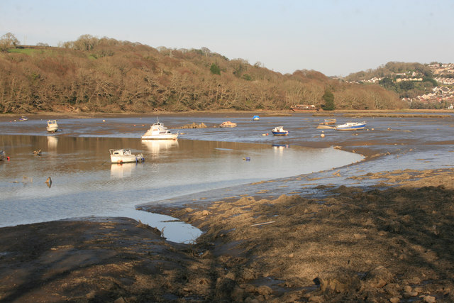
Tor Rock is a prominent coastal feature located in Devon, England. Situated on the southwestern coast of the county, it is specifically found on the headland known as Tor Bay. This rocky outcrop juts out into the English Channel, creating a picturesque point that offers stunning views of the surrounding area.
Tor Rock is characterized by its rugged and imposing appearance. Made up of various types of rock, including limestone and sandstone, it stands tall and provides a natural barrier against the crashing waves of the sea. Its sheer cliffs, which reach impressive heights, are a result of years of erosion caused by the relentless force of the ocean.
The rock itself is home to a rich diversity of flora and fauna. The crevices and caves formed within its structure provide shelter for a range of marine life, including crabs, sea anemones, and small fish. Seabirds also find refuge on Tor Rock, using the ledges and protrusions as nesting sites during breeding season.
The location of Tor Rock makes it a popular destination for both locals and tourists alike. Its striking beauty and panoramic views of the surrounding coastline attract nature enthusiasts, hikers, and photographers. The area surrounding the rock is also a hotspot for water sports such as surfing and kayaking, as the rocky formations create ideal conditions for these activities.
Overall, Tor Rock is a captivating coastal feature that combines natural beauty with ecological importance. Its prominence on the headland, breathtaking views, and diverse wildlife make it a must-visit destination for anyone exploring the coastal wonders of Devon.
If you have any feedback on the listing, please let us know in the comments section below.
Tor Rock Images
Images are sourced within 2km of 50.427235/-4.1664318 or Grid Reference SX4660. Thanks to Geograph Open Source API. All images are credited.


Tor Rock is located at Grid Ref: SX4660 (Lat: 50.427235, Lng: -4.1664318)
Administrative County: Devon
District: South Hams
Police Authority: Devon and Cornwall
What 3 Words
///sheets.giving.thick. Near Saltash, Cornwall
Nearby Locations
Related Wikis
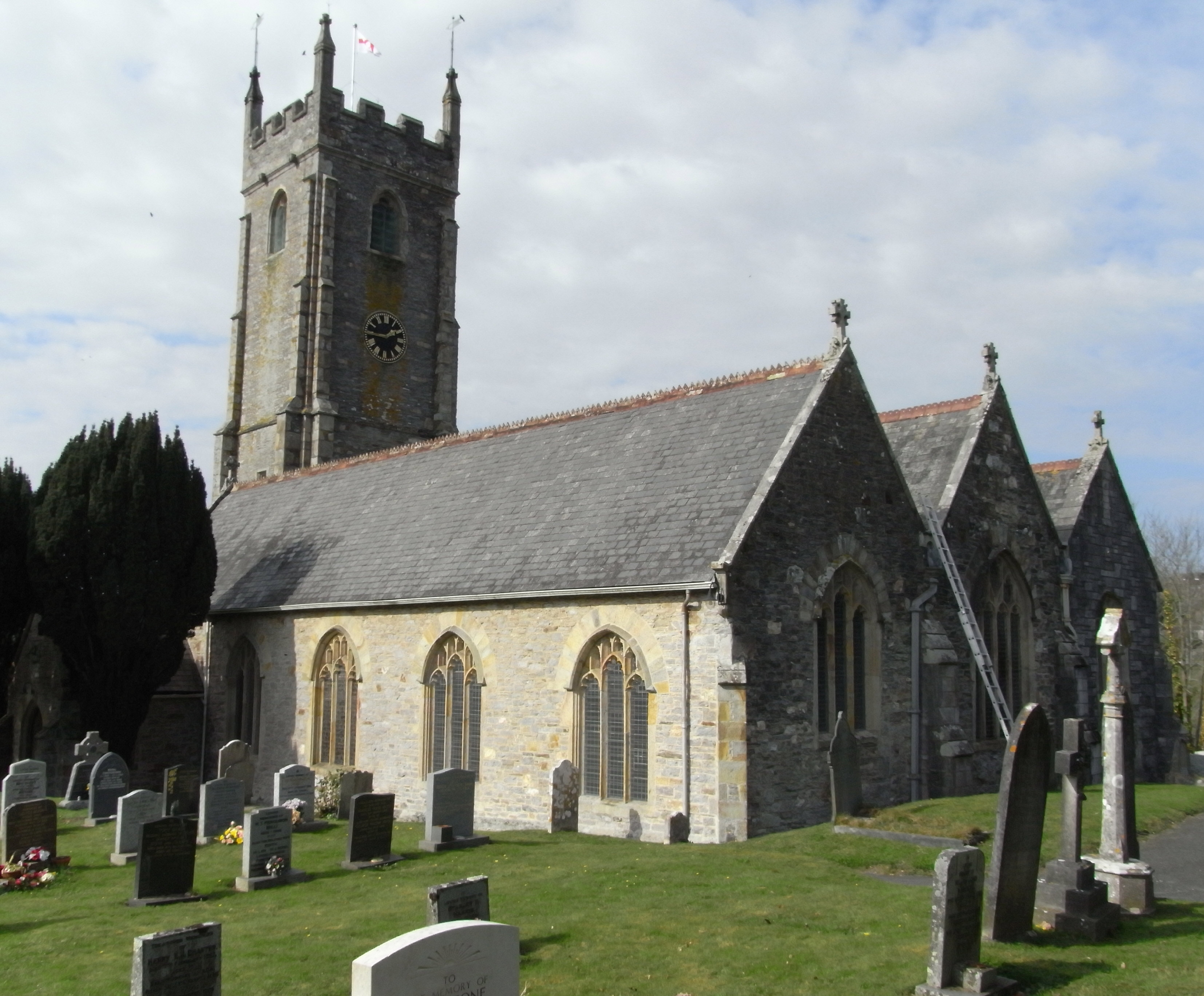
Tamerton Foliot
Tamerton Foliot is a village and former civil parish situated in the north of Plymouth, in the Plymouth district, in the ceremonial county of Devon, England...

Warleigh, Bickleigh
Warleigh is an historic estate within the parish of Bickleigh (formerly Tamerton Foliot) in Devon, about 6 miles from Plymouth. Warleigh House, the manor...
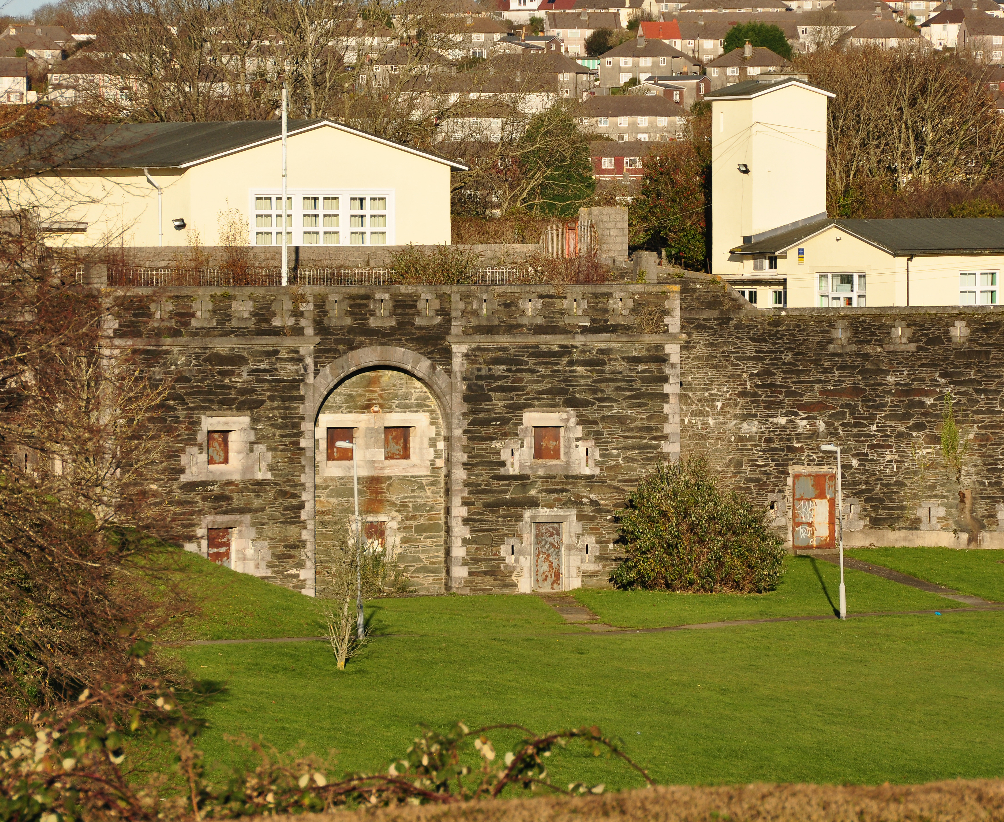
Knowles Battery
Knowles Battery is a former 19th-century fort, built as a result of the Royal Commission on National Defence of 1859. Part of an extensive scheme known...

Ernesettle
Ernesettle is mentioned in the Domesday Book, which documented land in England and Wales, and describes as an ‘old Saxon manor’ there. By the 15th century...
Nearby Amenities
Located within 500m of 50.427235,-4.1664318Have you been to Tor Rock?
Leave your review of Tor Rock below (or comments, questions and feedback).