Longnor

Settlement in Staffordshire South Staffordshire

England

Longnor

Shropshire Union Canal - Wheaton Aston Lock - Upper gate Looking back at the upper gate of Wheaton Aston Lock on the Shropshire Union Canal. There are only six* locks between the southern terminus of the 'Shroppie' at Autherley Junction and beyond Market Drayton, this is the first of them when travelling northwards. The upper gates on this canal are a single flat wooden barrier while the downstream ones are two gates forming a V pointing into the lock - this is very common though on broad beam canals such as the Grand Union both sets are of the V type.
* There is also a Stop Lock at Autherley Junction itself.
Shropshire Union Canal - Wheaton Aston Lock - Upper gate Credit: Rob Farrow

Longnor is a small village located in the Staffordshire Moorlands district of Staffordshire, England. Situated approximately 10 miles north of the market town of Leek, it lies within the picturesque Peak District National Park. With a population of around 500 residents, Longnor is a close-knit community that offers a tranquil and idyllic countryside setting.

The village is known for its charming and traditional architecture, with several well-preserved stone cottages and historic buildings lining its streets. Longnor is also home to St. Bartholomew's Church, a Grade II listed building dating back to the 13th century, which adds to the village's historical appeal.

Longnor boasts a range of amenities, including a local shop, post office, and a primary school, providing essential services for the inhabitants. The village also offers a variety of recreational opportunities, with beautiful walking trails and scenic countryside surrounding the area. The nearby Peak District National Park offers further opportunities for outdoor activities, such as hiking, cycling, and wildlife spotting.

The village hosts a weekly market every Thursday, where locals and visitors can purchase fresh produce and locally made crafts. Longnor also holds an annual Well Dressing festival, a traditional practice where wells are decorated with intricate floral displays, attracting tourists from near and far.

Overall, Longnor presents itself as a charming and peaceful village, ideal for those seeking a rural retreat and a taste of traditional English countryside life.

If you have any feedback on the listing, please let us know in the comments section below.
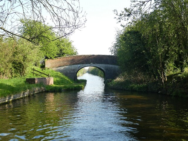
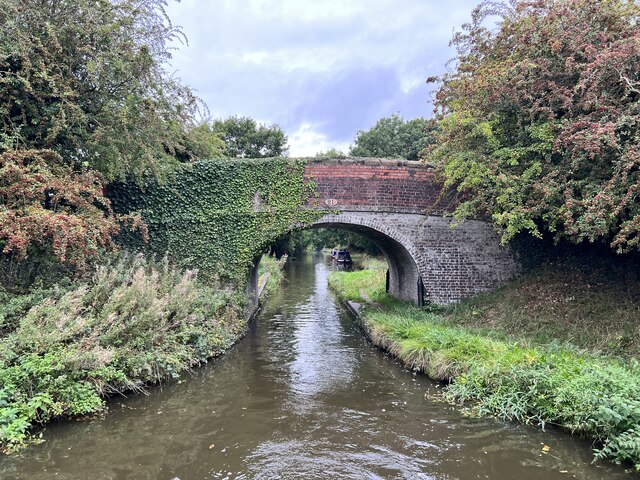
Longnor Images

Images are sourced within 2km of 52.724533/-2.200597 or Grid Reference SJ8614. Thanks to Geograph Open Source API. All images are credited.

Shropshire Union Canal - Wheaton Aston Lock - Upper gate Looking back at the upper gate of Wheaton Aston Lock on the Shropshire Union Canal. There are only six* locks between the southern terminus of the 'Shroppie' at Autherley Junction and beyond Market Drayton, this is the first of them when travelling northwards. The upper gates on this canal are a single flat wooden barrier while the downstream ones are two gates forming a V pointing into the lock - this is very common though on broad beam canals such as the Grand Union both sets are of the V type.
* There is also a Stop Lock at Autherley Junction itself.
Shropshire Union Canal - Wheaton Aston Lock - Upper gate
Looking back at the upper gate of Wheaton Aston Lock on the Shropshire Union Canal. There are only six* locks between the southern terminus of the 'Shroppie' at Autherley Junction and beyond Market Drayton, this is the first of them when travelling northwards. The upper gates on this canal are a single flat wooden barrier while the downstream ones are two gates forming a V pointing into the lock - this is very common though on broad beam canals such as the Grand Union both sets are of the V type. * There is also a Stop Lock at Autherley Junction itself.
Shropshire Union Canal - Wheaton Aston Bridge (No.18) This bridge (No.18, Wheaton Aston Bridge) is just SE of the lock at Wheaton Aston (see <a href="https://www.geograph.org.uk/photo/7163574">SJ8512 : Shropshire Union Canal - Wheaton Aston Lock - Upper gate</a>)
The bridge is EH Grade II listed: <span class="nowrap"><a title="https://historicengland.org.uk/listing/the-list/list-entry/1039256?section=official-list-entry" rel="nofollow ugc noopener" href="https://historicengland.org.uk/listing/the-list/list-entry/1039256?section=official-list-entry">Link</a><img style="margin-left:2px;" alt="External link" title="External link - shift click to open in new window" src="https://s1.geograph.org.uk/img/external.png" width="10" height="10"/></span>
Shropshire Union Canal - Wheaton Aston Bridge (No.18)
This bridge (No.18, Wheaton Aston Bridge) is just SE of the lock at Wheaton Aston (see SJ8512 : Shropshire Union Canal - Wheaton Aston Lock - Upper gate) The bridge is EH Grade II listed: LinkExternal link
Shropshire Union Canal - Shushions Bridge (No.21) Shushions Bridge (No.21) on the Shropshire Union Canal is a little way north of Wheaton Aston. Going north it is the first bridge encountered for about a mile (since Dirty Lane Bridge (No.20) at the north end of Wheaton Aston), but <a href="https://www.geograph.org.uk/photo/7163756">SJ8414 : Shropshire Union Canal - Ryehill Bridge (No.22)</a> follows very soon after. This view is looking back southwards from the back of the boat.
The bridge is EH Grade II listed: <span class="nowrap"><a title="https://historicengland.org.uk/listing/the-list/list-entry/1243056?section=official-list-entry" rel="nofollow ugc noopener" href="https://historicengland.org.uk/listing/the-list/list-entry/1243056?section=official-list-entry">Link</a><img style="margin-left:2px;" alt="External link" title="External link - shift click to open in new window" src="https://s1.geograph.org.uk/img/external.png" width="10" height="10"/></span>
Shropshire Union Canal - Shushions Bridge (No.21)
Shushions Bridge (No.21) on the Shropshire Union Canal is a little way north of Wheaton Aston. Going north it is the first bridge encountered for about a mile (since Dirty Lane Bridge (No.20) at the north end of Wheaton Aston), but SJ8414 : Shropshire Union Canal - Ryehill Bridge (No.22) follows very soon after. This view is looking back southwards from the back of the boat. The bridge is EH Grade II listed: LinkExternal link
Wheaton Aston bridge Grade II listed. Listing number 1039256. Accommodation bridge over canal, circa 1832. Limewashed brickwork with stone coping and string course. Single elliptical arch on slightly concave sided plan with cambered carriageway and parapet, half round coping with piers at ends and cast iron hawser spurs at springings on towpath side. The Shropshire Union Canal was engineered by Thomas Telford, and completed in 1835.
Wheaton Aston bridge
Grade II listed. Listing number 1039256. Accommodation bridge over canal, circa 1832. Limewashed brickwork with stone coping and string course. Single elliptical arch on slightly concave sided plan with cambered carriageway and parapet, half round coping with piers at ends and cast iron hawser spurs at springings on towpath side. The Shropshire Union Canal was engineered by Thomas Telford, and completed in 1835.
View from Wheaton Aston lock On the Shropshire Union Canal.
View from Wheaton Aston lock
On the Shropshire Union Canal.
Boats moored at Wheaton Aston On the Shropshire Union Canal.
Boats moored at Wheaton Aston
On the Shropshire Union Canal.
Tavern Bridge Grade II listed. Listing number 1374084. Accommodation bridge over canal, circa 1832. Limewashed brickwork with stone coping and string course. Single vaulted elliptical arch with level carriageway and parapet, half round coping with piers at ends; cast iron hawser spurs at springings on towpath side.
Tavern Bridge
Grade II listed. Listing number 1374084. Accommodation bridge over canal, circa 1832. Limewashed brickwork with stone coping and string course. Single vaulted elliptical arch with level carriageway and parapet, half round coping with piers at ends; cast iron hawser spurs at springings on towpath side.
Shropshire Union Canal North of Wheaton Aston.
Shropshire Union Canal
North of Wheaton Aston.
Sushions Bridge Grade II listed. Listing number 1243056. Accommodation bridge. c1830-33. Telford design. Partly washed brick, with stone band copings. Single elliptical arch. Slightly cambered, solid parapet and piers. Oval iron number- plate on south side. 2 iron rope fenders. Adjoining to north a single wooden stop gate, in a brick recess with stone coping.
Sushions Bridge
Grade II listed. Listing number 1243056. Accommodation bridge. c1830-33. Telford design. Partly washed brick, with stone band copings. Single elliptical arch. Slightly cambered, solid parapet and piers. Oval iron number- plate on south side. 2 iron rope fenders. Adjoining to north a single wooden stop gate, in a brick recess with stone coping.
Narrowboat 'Willow' having just passed beneath bridge 21 Shushions Bridge (No.21) along the main line of the Shropshire Union Canal with 'Willow' on her way north.
Narrowboat 'Willow' having just passed beneath bridge 21
Shushions Bridge (No.21) along the main line of the Shropshire Union Canal with 'Willow' on her way north.
Shropshire Union Canal near Wheaton Aston in Staffordshire Looking north-west towards Gnosall and Market Drayton from Wheaton Aston Lock.
Shropshire Union Canal near Wheaton Aston in Staffordshire
Looking north-west towards Gnosall and Market Drayton from Wheaton Aston Lock.
Private moorings near Wheaton Aston in Staffordshire The moorings by Bridge Farm are extending into the winding hole here.
Private moorings near Wheaton Aston in Staffordshire
The moorings by Bridge Farm are extending into the winding hole here.
Alfred near Wheaton Aston in Staffordshire A convenient private mooring spot on the Shropshire Union Canal by the Hartley Arms.
Alfred near Wheaton Aston in Staffordshire
A convenient private mooring spot on the Shropshire Union Canal by the Hartley Arms.
Dirty Lane Bridge near Wheaton Aston in Staffordshire Dirty Lane Bridge is No 20 across the Shropshire Union Canal. It used to carry an unsurfaced lane, Downford Lane to the right, and presumably Dirty Lane to the left. It now still gives access from the canal, but since land to the left was covered in housing, Long Street is preferred to Dirty Lane.
Dirty Lane Bridge near Wheaton Aston in Staffordshire
Dirty Lane Bridge is No 20 across the Shropshire Union Canal. It used to carry an unsurfaced lane, Downford Lane to the right, and presumably Dirty Lane to the left. It now still gives access from the canal, but since land to the left was covered in housing, Long Street is preferred to Dirty Lane.
Pasture north of Wheaton Aston in Staffordshire Looking north-east towards Barleybrook Farm from the Shropshire Union Canal.
Pasture north of Wheaton Aston in Staffordshire
Looking north-east towards Barleybrook Farm from the Shropshire Union Canal.
Barleybrook Farm north-east of Marston in Staffordshire Looking north-east towards Barleybrook Farm from the Shropshire Union Canal. The farmhouse is off to the left. The farmhouse and farm buildings are recently built (late 20th century)?
Barleybrook Farm north-east of Marston in Staffordshire
Looking north-east towards Barleybrook Farm from the Shropshire Union Canal. The farmhouse is off to the left. The farmhouse and farm buildings are recently built (late 20th century)?
Facilities by private moorings near Wheaton Aston The moorings are near Whitehouse Farm near Marston.
Facilities by private moorings near Wheaton Aston
The moorings are near Whitehouse Farm near Marston.
New homes, Bridge Croft, Wheaton Aston Built by Keon Homes off Long Street, on the west bank of the Shropshire Union canal.
New homes, Bridge Croft, Wheaton Aston
Built by Keon Homes off Long Street, on the west bank of the Shropshire Union canal.
Show me another place!

Longnor is located at Grid Ref: SJ8614 (Lat: 52.724533, Lng: -2.200597)

Administrative County: Staffordshire

District: South Staffordshire

Police Authority: Staffordshire

What 3 Words

///relies.horns.supposing. Near Wheaton Aston, Staffordshire

Nearby Locations

Port Coppice Longnor

Related Wikis

Woollaston

Woollaston is a small hamlet near Bradley, Staffordshire, England, four miles northwest of Penkridge and two miles southeast of Church Eaton. It lies in...

Lapley Priory

Lapley Priory was a priory in Staffordshire, England. Founded at the very end of the Anglo-Saxon period, it was an alien priory, a satellite house of the...

Lapley

Lapley is a village and former civil parish, now in the parish of Lapley, Stretton and Wheaton Aston, in the South Staffordshire district, in the county...

Lapley, Stretton and Wheaton Aston

Lapley, Stretton and Wheaton Aston is a civil parish in the South Staffordshire district, in the county of Staffordshire, England. The population of the...

Wheaton Aston

Wheaton Aston is a small village in Staffordshire, England about 9 miles south west of Stafford and 7 miles west of Cannock. It is located beside Bridge...

Bickford

Bickford is a village in Staffordshire, England. For population details taken at the 2011 census see Penkridge == See also == Listed buildings in Penkridge...

Little Onn

Little Onn is a hamlet in Staffordshire, England located in open countryside 1 mile (2 km) north of Wheaton Aston. It is the location of the former Second...

Mottey Meadows

Mottey Meadows National Nature Reserve (NNR) consists of a series of alluvial flood meadows near the village of Wheaton Aston in Staffordshire, England...

Nearby Amenities

Located within 500m of 52.724533,-2.200597
The data included in this document is from www.openstreetmap.org. The data is made available under ODbL.

Have you been to Longnor?

Leave your review of Longnor below (or comments, questions and feedback).