Black Rock
Coastal Feature, Headland, Point in Cornwall
England
Black Rock

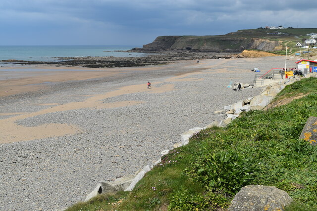
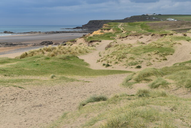
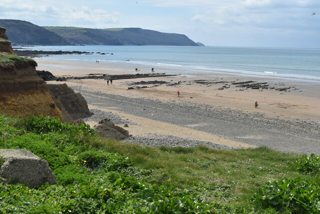
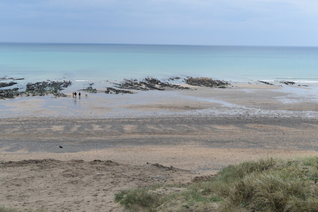
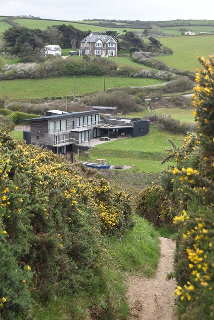
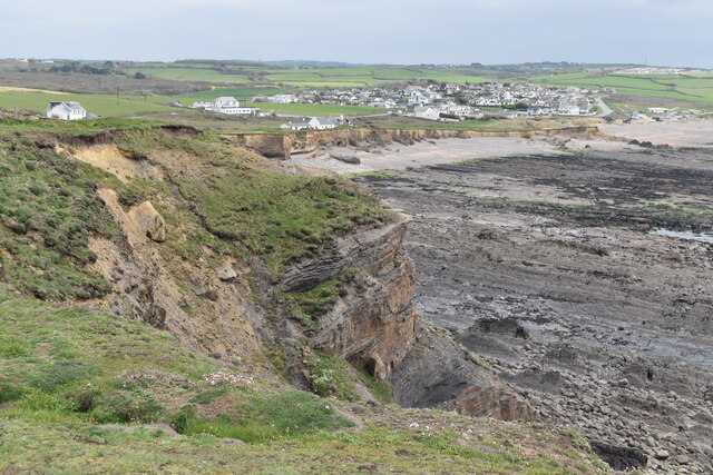
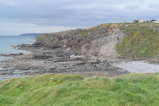
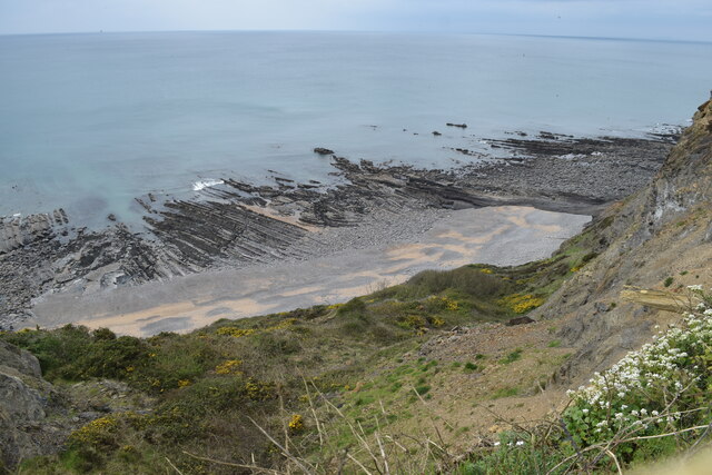
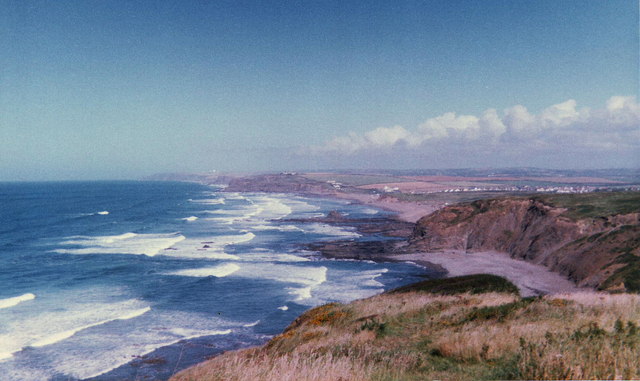
Black Rock is a prominent coastal feature located in Cornwall, England. This headland juts out into the Atlantic Ocean and is known for its dramatic cliffs and stunning views of the surrounding coastline. The rock itself is a large granite outcrop that is black in color, hence the name Black Rock.
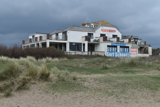
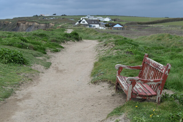
The area surrounding Black Rock is a popular destination for tourists and locals alike, offering opportunities for hiking, birdwatching, and enjoying the rugged beauty of the Cornish coastline. The headland is also home to a variety of wildlife, including seabirds and marine mammals, making it a great spot for nature enthusiasts.
In addition to its natural beauty, Black Rock also has historical significance. The headland has been used for centuries as a navigational landmark for sailors, and there are remnants of old structures and fortifications that can still be seen today.
Overall, Black Rock is a must-visit destination for anyone exploring the coastal wonders of Cornwall. Its rugged beauty, diverse wildlife, and historical significance make it a unique and unforgettable spot along the British coastline.
If you have any feedback on the listing, please let us know in the comments section below.
Black Rock Images
Images are sourced within 2km of 50.786889/-4.5608834 or Grid Reference SS1901. Thanks to Geograph Open Source API. All images are credited.


Black Rock is located at Grid Ref: SS1901 (Lat: 50.786889, Lng: -4.5608834)
Unitary Authority: Cornwall
Police Authority: Devon and Cornwall
What 3 Words
///haircuts.compelled.burglars. Near Poundstock, Cornwall
Nearby Locations
Related Wikis

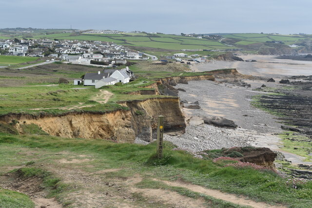
Widemouth Bay
Widemouth Bay (Cornish: Porth an Men) is a bay, beach and small village on the Atlantic coast of Cornwall, England, UK. It is about 3 miles (5 km) south...

Our Lady and St Anne's Church, Widemouth Bay
The Church of Our Lady and St Anne is a small Anglican church in the village of Widemouth Bay, Cornwall. The church was built in 1929 as a private oratory...

Box's Shop
Box's Shop (Cornish: Shoppa Box) is a hamlet in the civil parish of Poundstock in north Cornwall, England, United Kingdom. It consists of several cottages...

Coppathorne
Coppathorne is a hamlet in the parish of Poundstock (where the 2011 census was included), Cornwall, England. == References ==
Nearby Amenities
Located within 500m of 50.786889,-4.5608834Have you been to Black Rock?
Leave your review of Black Rock below (or comments, questions and feedback).