Brither Rocks
Coastal Feature, Headland, Point in Ayrshire
Scotland
Brither Rocks
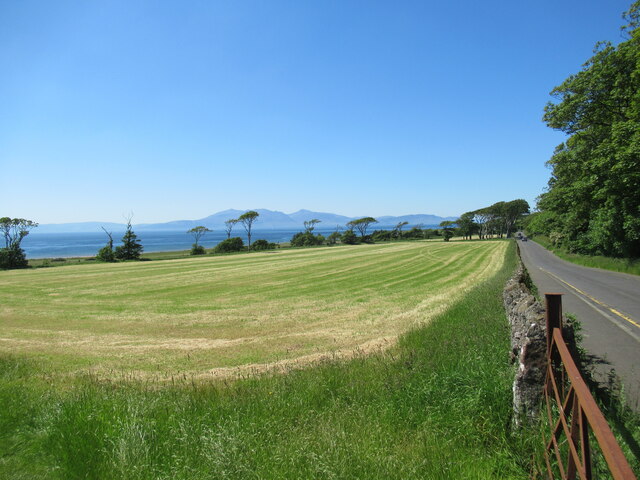
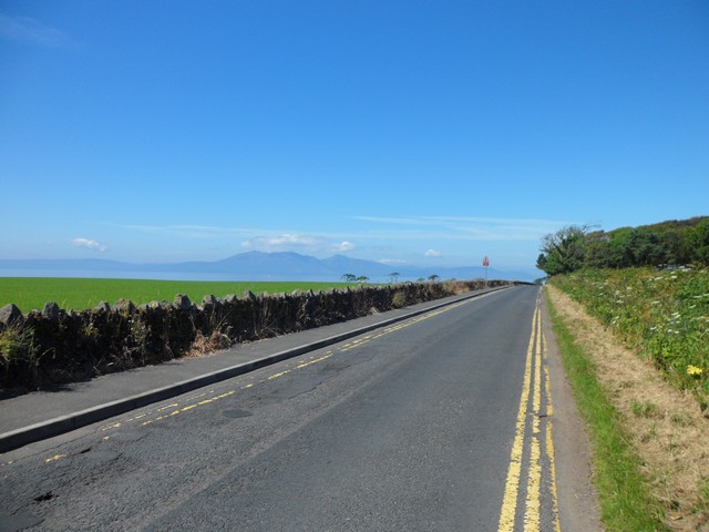
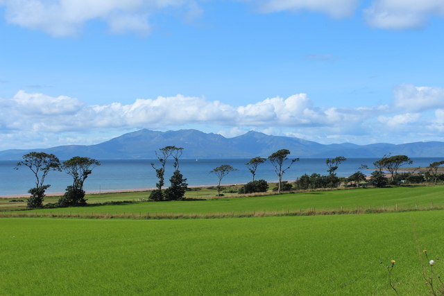
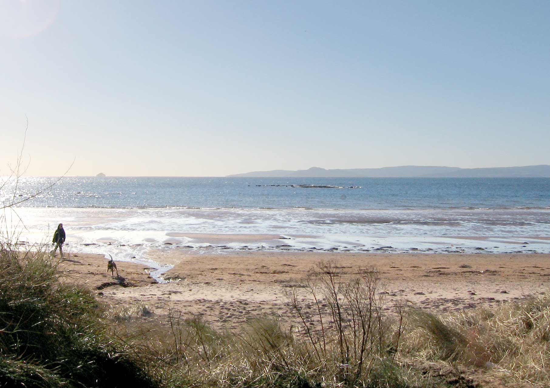
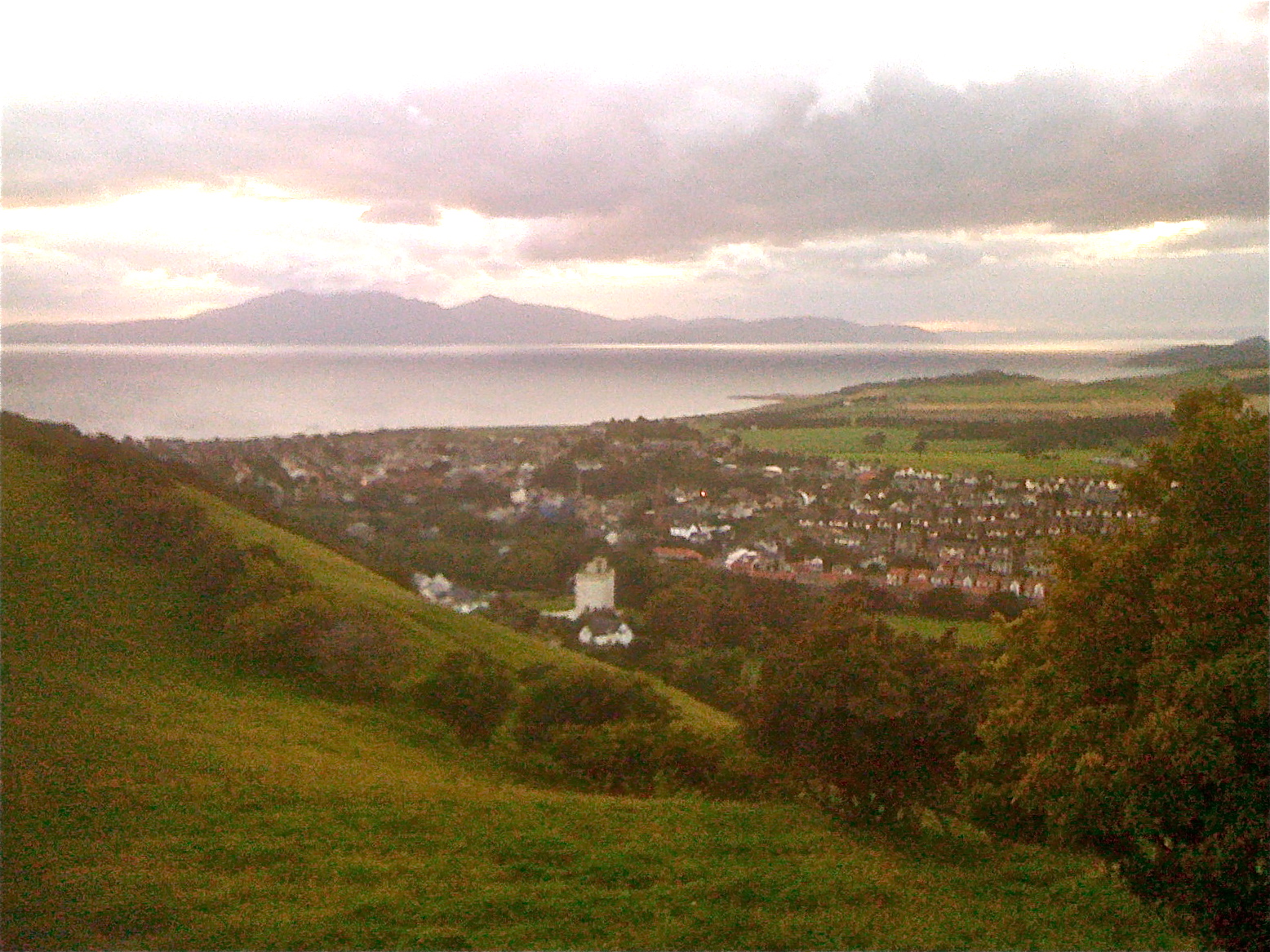
Brither Rocks is a prominent coastal feature located in Ayrshire, Scotland. It is a headland that juts out into the sea, forming a distinct point that offers breathtaking views of the surrounding landscape and the vast ocean beyond.
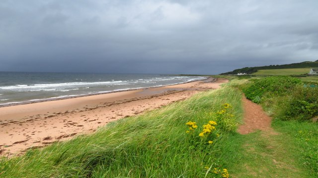
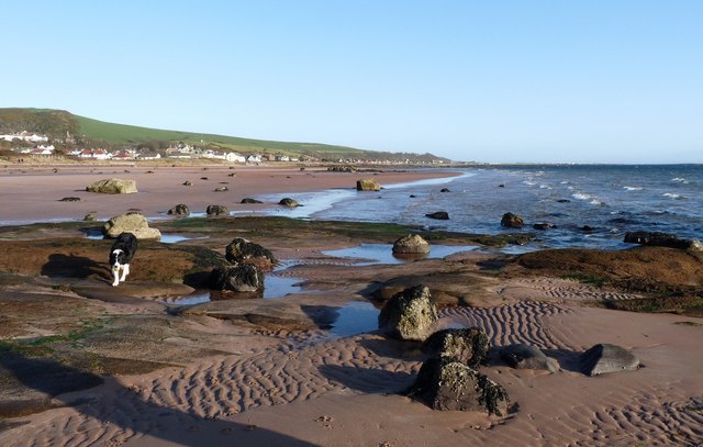
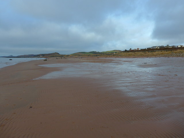
Situated along the rugged Ayrshire coastline, Brither Rocks is renowned for its stunning natural beauty and geological significance. The headland is composed of solid rock formations, which have been shaped and sculpted over thousands of years by the relentless forces of wind and waves. These rock formations consist of layers of sandstone and shale, giving them a unique and captivating appearance.
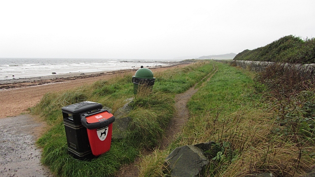
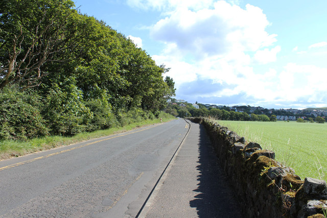
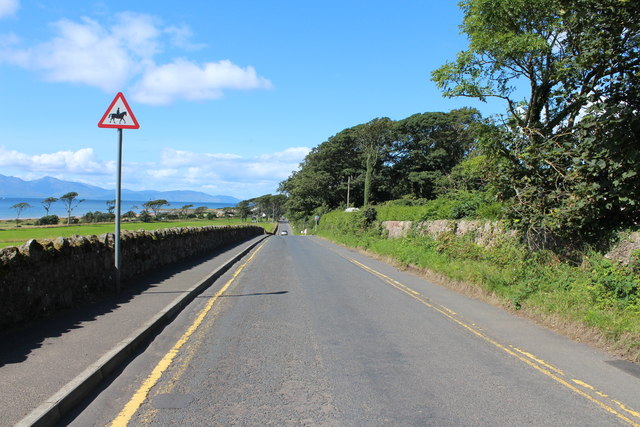
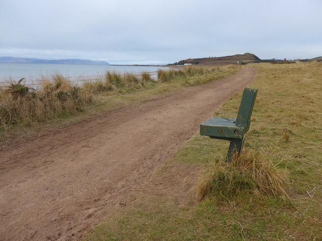
The headland is accessible via a coastal path that winds its way along the rugged cliffs, offering visitors the opportunity to explore the area and marvel at the geological wonders on display. Along the way, one can witness the dramatic interplay of land and sea, as waves crash against the rocks and seabirds soar overhead.
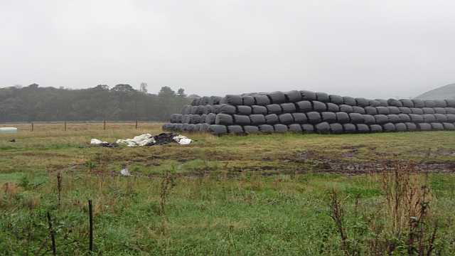
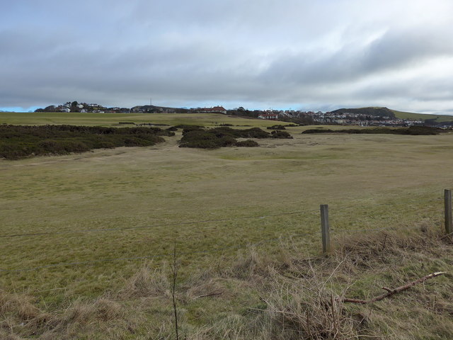
Brither Rocks also boasts a diverse range of flora and fauna. The surrounding area is home to a variety of plant species, including hardy coastal grasses and wildflowers that thrive in the harsh coastal environment. Additionally, the headland provides an important habitat for numerous bird species, such as gulls, cormorants, and fulmars, which nest and feed in the area.
Overall, Brither Rocks is a captivating coastal feature that offers visitors a unique opportunity to immerse themselves in the rugged beauty of the Ayrshire coastline. With its stunning rock formations, breathtaking views, and diverse wildlife, it is a must-visit destination for nature enthusiasts and those seeking to experience the awe-inspiring power of the natural world.
If you have any feedback on the listing, please let us know in the comments section below.
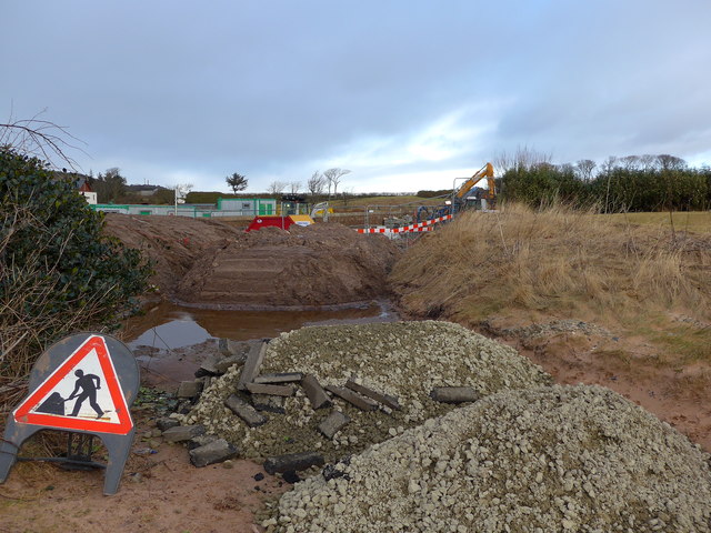
Brither Rocks Images
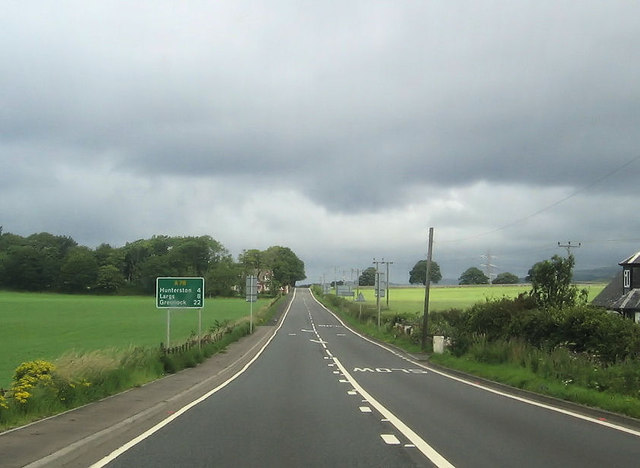
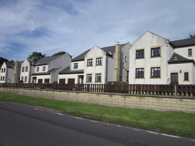
Images are sourced within 2km of 55.682273/-4.8714658 or Grid Reference NS1946. Thanks to Geograph Open Source API. All images are credited.

Brither Rocks is located at Grid Ref: NS1946 (Lat: 55.682273, Lng: -4.8714658)
Unitary Authority: North Ayrshire
Police Authority: Ayrshire
What 3 Words
///difficult.retina.region. Near West Kilbride, North Ayrshire
Nearby Locations
Related Wikis
Seamill
Seamill is a village in North Ayrshire on the west coast of Scotland, about 5 miles north of Ardrossan and 8 miles south of Largs, on the east coast of...
West Kilbride
West Kilbride (Scottish Gaelic: Cille Bhrìghde an Iar) is a village and historic parish in North Ayrshire, Scotland, on the west coast by the Firth of...

West Kilbride railway station
West Kilbride railway station is a railway station that serves the village of West Kilbride, North Ayrshire, Scotland. The station is managed by ScotRail...

Law Castle
Law Castle is situated on the lower slopes of Law Hill on the edge of West Kilbride, in North Ayrshire, Scotland. It is around 200 metres (660 ft) from...
Have you been to Brither Rocks?
Leave your review of Brither Rocks below (or comments, questions and feedback).