Bell Craig
Coastal Feature, Headland, Point in Buteshire
Scotland
Bell Craig
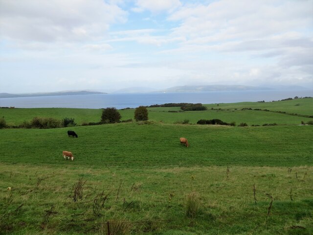
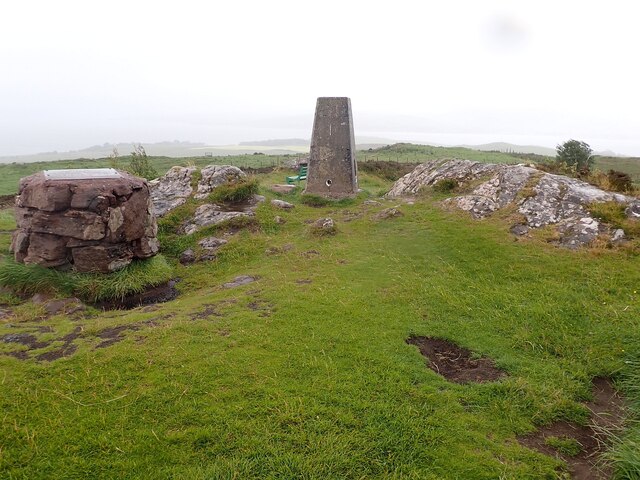
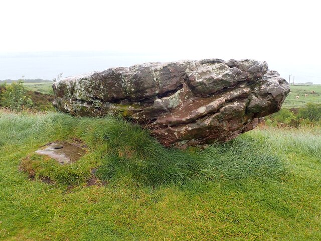
Bell Craig is a prominent headland located in the region of Buteshire, Scotland. Situated on the western coast of the Isle of Bute, this coastal feature is characterized by its towering cliffs and rugged terrain. It is positioned at a latitude of 55.8545° N and a longitude of 5.1157° W.
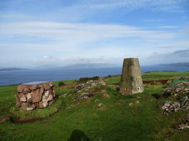
The headland is composed of sedimentary rocks, primarily sandstone and shale, which have been shaped over thousands of years by the erosive forces of the North Atlantic Ocean. Bell Craig stands at an impressive height of approximately 100 meters above sea level, offering breathtaking panoramic views of the surrounding coastline and the vast expanse of the Atlantic.
The area's unique geography and exposure to the prevailing winds have resulted in the formation of several fascinating geological features within Bell Craig. These include sea caves, natural arches, and stacks, which add to the headland's allure and appeal to geologists, photographers, and nature enthusiasts alike.
Bell Craig is also home to a diverse range of flora and fauna. The headland's rocky cliffs provide nesting grounds for seabirds, including guillemots, razorbills, and puffins. The surrounding waters are rich in marine life, with seals and dolphins often spotted in the area.
In addition to its natural beauty, Bell Craig holds historical significance as it was once used as a lookout point during World War II. The remnants of a wartime observation post can still be found atop the headland, serving as a reminder of the area's past.
Overall, Bell Craig is a captivating coastal feature that combines stunning natural landscapes, geological wonders, and a rich history, making it a must-visit destination for those exploring the Buteshire region.
If you have any feedback on the listing, please let us know in the comments section below.
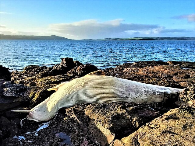
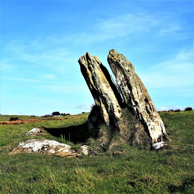
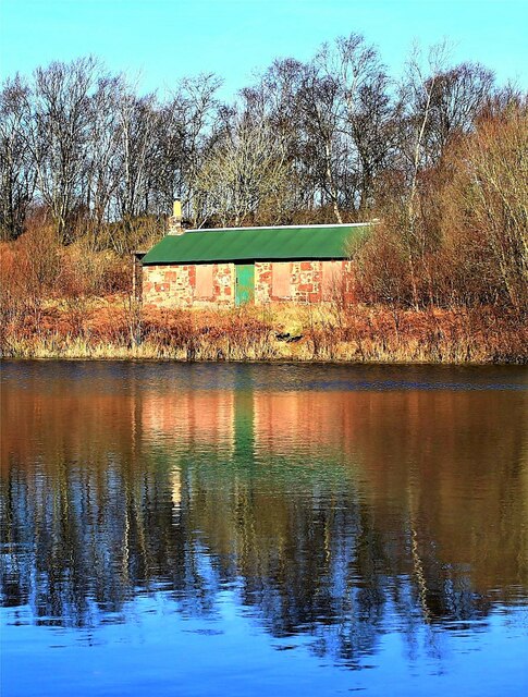
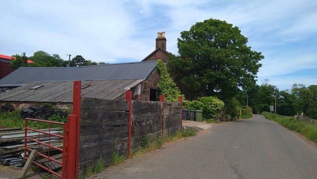
Bell Craig Images
Images are sourced within 2km of 55.775302/-4.9327085 or Grid Reference NS1657. Thanks to Geograph Open Source API. All images are credited.


Bell Craig is located at Grid Ref: NS1657 (Lat: 55.775302, Lng: -4.9327085)
Unitary Authority: North Ayrshire
Police Authority: Ayrshire
What 3 Words
///passions.sculpting.case. Near Millport, North Ayrshire
Nearby Locations
Related Wikis

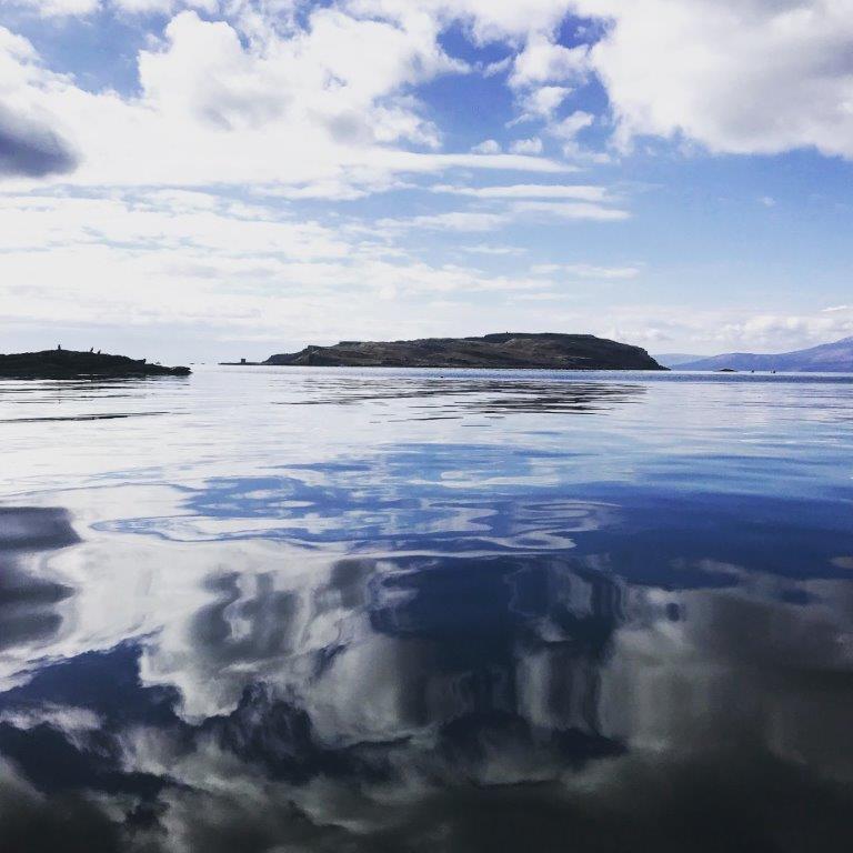
The Cumbraes
The Cumbraes are a group of islands in the Firth of Clyde, Scotland. The islands belong to the traditional county of Bute and the modern unitary authority...
Great Cumbrae
Great Cumbrae (Scots: Muckle Cumbrae; Scottish Gaelic: Cumaradh Mòr; also known as Great Cumbrae Island, Cumbrae or the Isle of Cumbrae) is the larger...

Lady Margaret Hospital
Lady Margaret Hospital is a small 10-bedded hospital at Millport on Great Cumbrae in North Ayrshire, Scotland. It is managed by NHS Ayrshire and Arran...
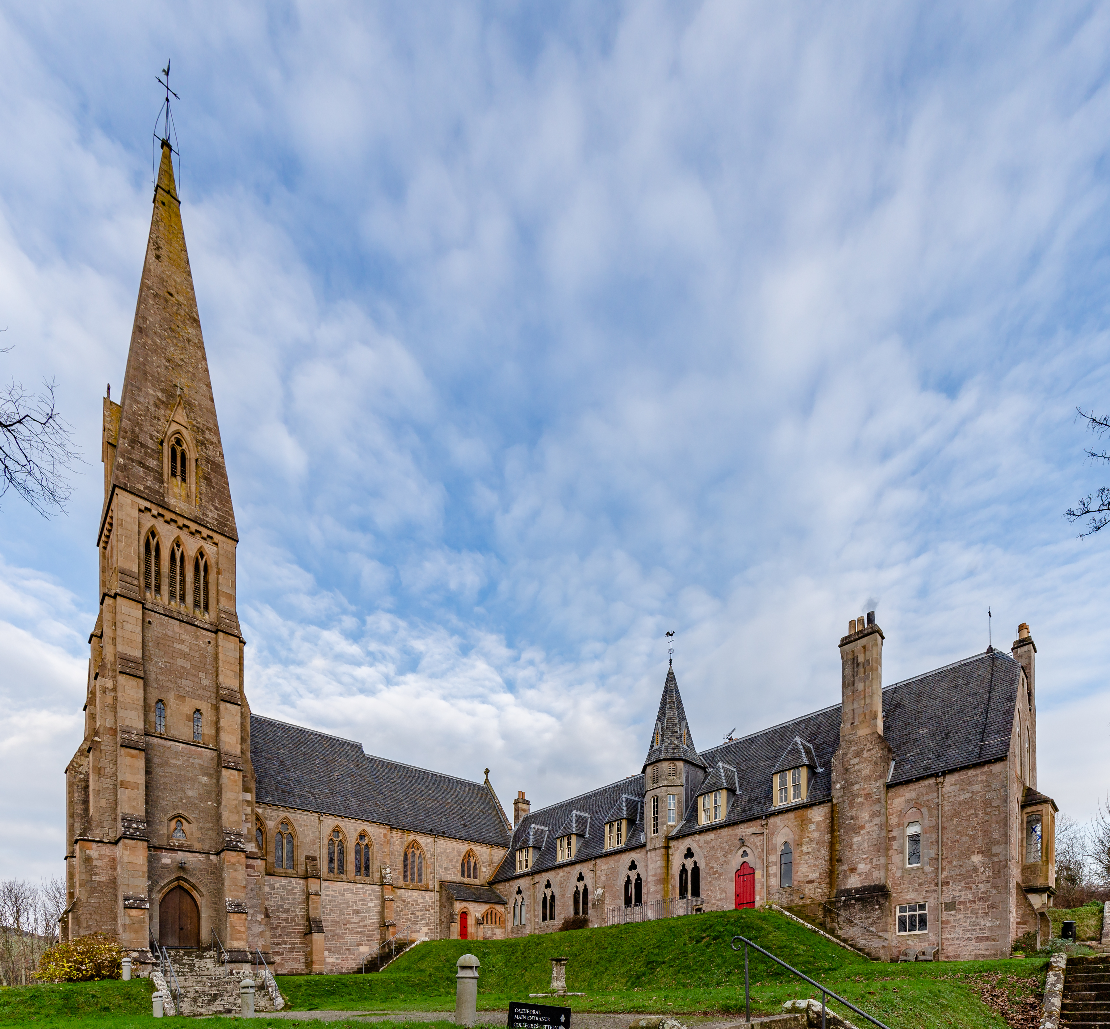
Cathedral of The Isles
The Cathedral of the Isles and Collegiate Church of the Holy Spirit is a Category A listed cathedral of the Scottish Episcopal Church in the town of Millport...

Millport Town Hall
Millport Town Hall is a municipal building in Clifton Street, Millport, North Ayrshire, Scotland. The structure is used as a community events centre....

Millport, Great Cumbrae
Millport (Scottish Gaelic: Port a' Mhuilinn) is the only town on the island of Great Cumbrae in the Firth of Clyde off the coast of mainland Scotland,...
The Eileans
The Eileans are two small, low-lying islands located in Newtown Bay, Millport on the island of Great Cumbrae, Scotland. (grid reference NS164545). The...

FSC Millport
FSC Millport, run by the Field Studies Council, is located on the island of Great Cumbrae in the Firth of Clyde, Scotland. The field centre was formerly...
Nearby Amenities
Located within 500m of 55.775302,-4.9327085Have you been to Bell Craig?
Leave your review of Bell Craig below (or comments, questions and feedback).