Bell Bay
Bay in Buteshire
Scotland
Bell Bay
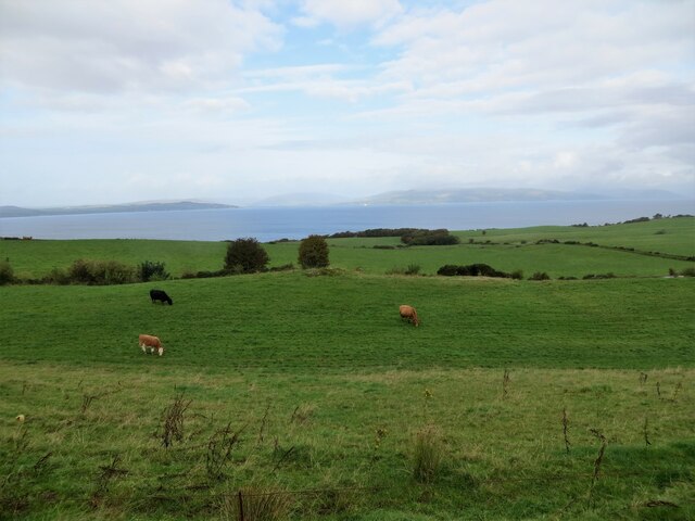
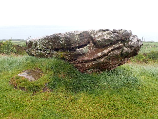
Bell Bay is a picturesque bay located in the region of Buteshire, Scotland. It is situated on the eastern coast of the Isle of Bute, providing visitors with breathtaking views of the surrounding natural landscape. The bay stretches for approximately 2.5 miles and is known for its tranquil atmosphere and peaceful surroundings.
The bay is characterized by its sandy beaches, rocky outcrops, and clear blue waters. It serves as a popular destination for outdoor enthusiasts, offering a wide range of activities such as swimming, sunbathing, and picnicking. The bay is also a haven for wildlife, with various species of birds, seals, and occasionally dolphins being spotted in the area.
Bell Bay is easily accessible, with a nearby car park and public transport links available for visitors. The bay is also within walking distance of the town of Rothesay, which offers a range of amenities including shops, restaurants, and accommodations.
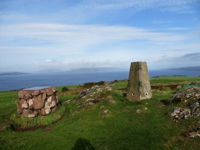
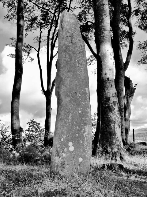
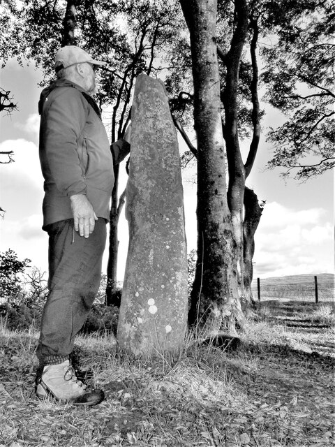
In addition to its natural beauty, Bell Bay also has historical significance. The area has seen human activity dating back to ancient times, and remnants of ancient settlements and burial sites have been discovered in the vicinity. The bay also played a role in the maritime history of the region, serving as a port for trade and fishing.
Overall, Bell Bay in Buteshire is a captivating destination that offers visitors a blend of natural beauty, outdoor activities, and historical intrigue. It is a place where visitors can unwind, connect with nature, and immerse themselves in the rich heritage of the region.
If you have any feedback on the listing, please let us know in the comments section below.
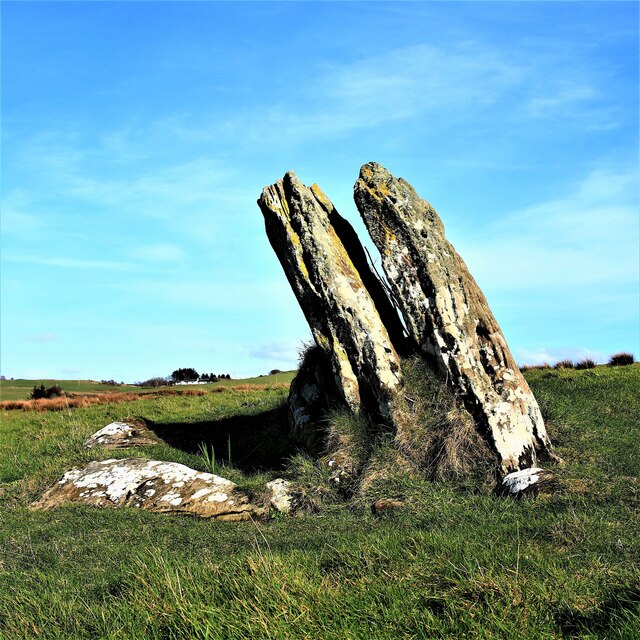
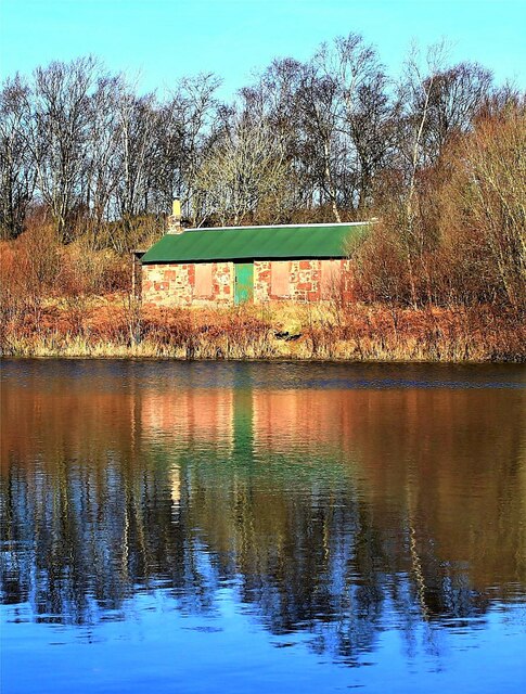
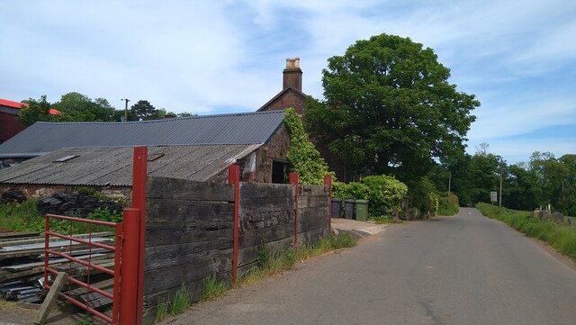
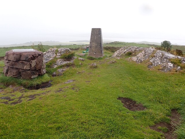
Bell Bay Images
Images are sourced within 2km of 55.777358/-4.9324642 or Grid Reference NS1657. Thanks to Geograph Open Source API. All images are credited.


Bell Bay is located at Grid Ref: NS1657 (Lat: 55.777358, Lng: -4.9324642)
Unitary Authority: North Ayrshire
Police Authority: Ayrshire
What 3 Words
///saves.daring.dried. Near Millport, North Ayrshire
Nearby Locations
Related Wikis

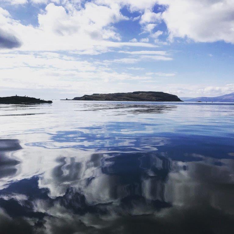
The Cumbraes
The Cumbraes are a group of islands in the Firth of Clyde, Scotland. The islands belong to the traditional county of Bute and the modern unitary authority...
Great Cumbrae
Great Cumbrae (Scots: Muckle Cumbrae; Scottish Gaelic: Cumaradh Mòr; also known as Great Cumbrae Island, Cumbrae or the Isle of Cumbrae) is the larger...

Lady Margaret Hospital
Lady Margaret Hospital is a small 10-bedded hospital at Millport on Great Cumbrae in North Ayrshire, Scotland. It is managed by NHS Ayrshire and Arran...
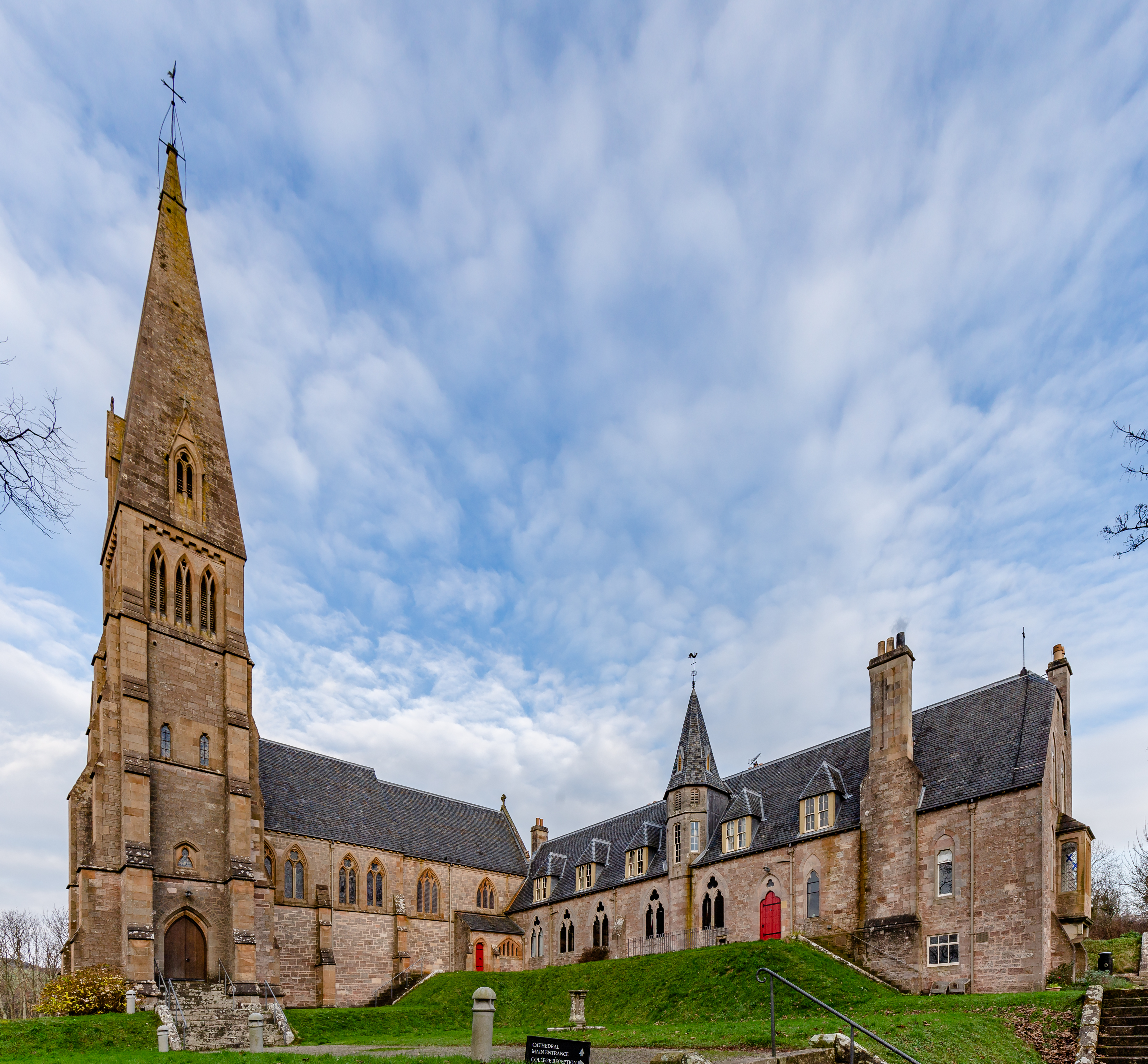
Cathedral of The Isles
The Cathedral of the Isles and Collegiate Church of the Holy Spirit is a Category A listed cathedral of the Scottish Episcopal Church in the town of Millport...

Millport Town Hall
Millport Town Hall is a municipal building in Clifton Street, Millport, North Ayrshire, Scotland. The structure is used as a community events centre....

Millport, Great Cumbrae
Millport (Scottish Gaelic: Port a' Mhuilinn) is the only town on the island of Great Cumbrae in the Firth of Clyde off the coast of mainland Scotland,...
The Eileans
The Eileans are two small, low-lying islands located in Newtown Bay, Millport on the island of Great Cumbrae, Scotland. (grid reference NS164545). The...

FSC Millport
FSC Millport, run by the Field Studies Council, is located on the island of Great Cumbrae in the Firth of Clyde, Scotland. The field centre was formerly...
Nearby Amenities
Located within 500m of 55.777358,-4.9324642Have you been to Bell Bay?
Leave your review of Bell Bay below (or comments, questions and feedback).