Carrickcone
Coastal Feature, Headland, Point in Wigtownshire
Scotland
Carrickcone

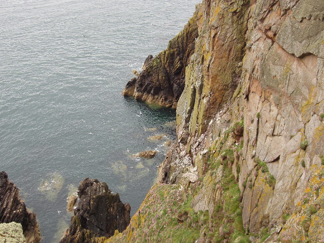
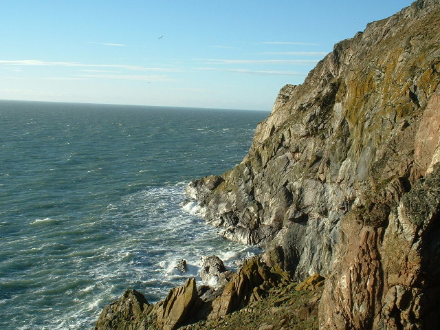
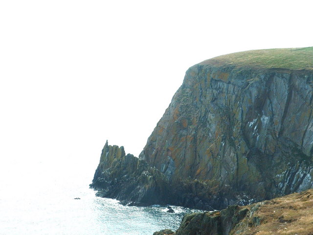
Carrickcone is a prominent headland located in Wigtownshire, Scotland. Situated along the picturesque coastline, it is known for its rugged beauty and stunning views of the surrounding landscape. This coastal feature is characterized by its dramatic cliffs, which rise steeply from the sea, creating a striking and imposing sight.
The headland is formed from layers of sedimentary rock, primarily composed of sandstone and shale. Over time, the relentless pounding of the waves has carved out caves and sea arches along the base of the cliffs, adding to the area's natural charm.
Carrickcone is a popular destination for outdoor enthusiasts and nature lovers. The headland offers ample opportunities for hiking and birdwatching, with various species of seabirds nesting along the cliffs. Visitors can also explore the numerous rock pools that form during low tide, revealing a rich variety of marine life.
The headland is easily accessible by foot, with several well-marked trails leading to its summit. From the top, visitors are rewarded with breathtaking panoramic views of the surrounding coastline, dotted with small islands and secluded coves.
Carrickcone is also of historical significance, with remnants of ancient settlements and burial sites dating back to the Bronze Age. These archaeological remains provide insight into the area's rich cultural heritage.
In conclusion, Carrickcone is a stunning headland in Wigtownshire, Scotland, offering visitors a combination of natural beauty, outdoor activities, and historical intrigue. Whether one is seeking a peaceful hike along the coast or a chance to explore the region's past, Carrickcone is sure to captivate and inspire.
If you have any feedback on the listing, please let us know in the comments section below.
Carrickcone Images
Images are sourced within 2km of 54.634906/-4.8803843 or Grid Reference NX1430. Thanks to Geograph Open Source API. All images are credited.

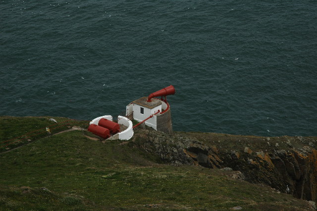


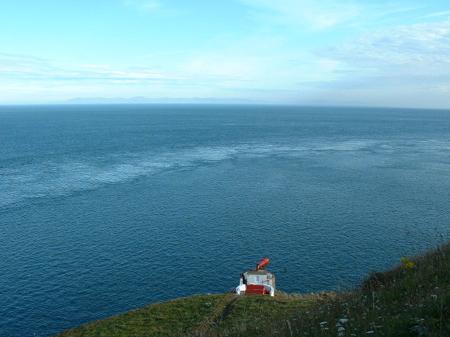


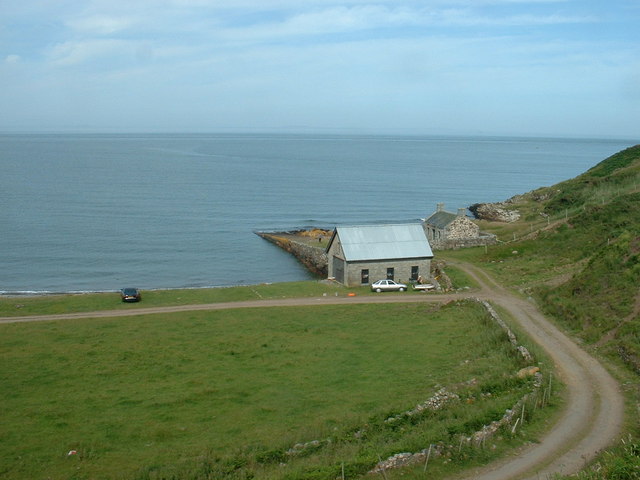
![East Tarbet This is the &#039;neck&#039; of the Mull of Galloway. A tarbet is a place where a boat could be dragged from one side of a headland or island to the other [which is probably not done much these days]. This side is on Luce Bay, the point on the other side of the headland is on the Irish Sea and is called, somewhat predictably, West Tarbet.](https://s0.geograph.org.uk/photos/21/58/215836_01f2e0a7.jpg)

Carrickcone is located at Grid Ref: NX1430 (Lat: 54.634906, Lng: -4.8803843)
Unitary Authority: Dumfries and Galloway
Police Authority: Dumfries and Galloway
What 3 Words
///inert.remix.often. Near Drummore, Dumfries & Galloway
Nearby Locations
Related Wikis

Mull of Galloway
The Mull of Galloway (Scottish Gaelic: Maol nan Gall, pronounced [mɯːlˠ̪ nəŋ ˈkaulˠ̪]; grid reference NX158303) is the southernmost point of Scotland....

Cairngaan
Cairngaan, Wigtownshire, is the southmost settlement in Scotland. The hamlet of Cairngaan lies just north of the Mull of Galloway (which contains Scotland...
Drummore
Drummore (drum-ORE; (from Gaelic An Druim Mòr meaning "the great ridge") is the southernmost village in Scotland, located at the southern end of the Rhins...

Pasages (steam trawler)
ST Pasages (FD 119) was originally a Canadian "Castle" – TR series minesweeping trawler built by the Dominion Shipbuilding Company, Toronto, in 1917 for...
Kirkmaiden (village)
Kirkmaiden (sometimes Maidenkirk; Scottish Gaelic: Cill M'Eudan) is a small settlement in Galloway, Scotland, located approximately 17 miles (27 km) south...
Kirkmaiden
Kirkmaiden is a parish in the Rhins of Galloway, the most southerly in Scotland; the present Church of Scotland parish has the same name as and is approximately...
Nearby Amenities
Located within 500m of 54.634906,-4.8803843Have you been to Carrickcone?
Leave your review of Carrickcone below (or comments, questions and feedback).