Voter Run
Coastal Feature, Headland, Point in Cornwall
England
Voter Run
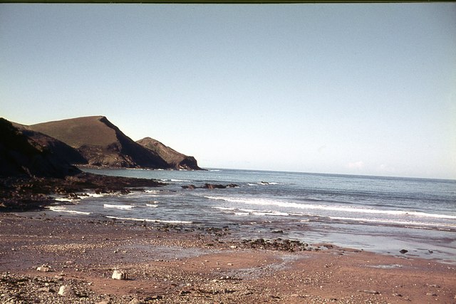
Voter Run is a prominent coastal feature located in Cornwall, a county in southwestern England. This headland, also referred to as a point, is situated on the coastline of the Celtic Sea, specifically within the region of West Cornwall.
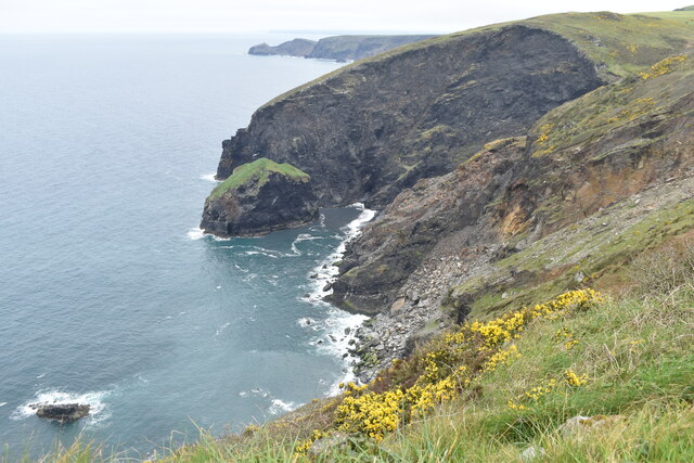
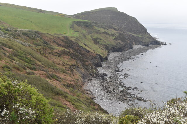
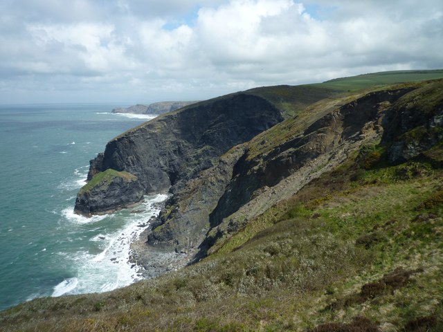
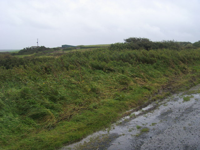
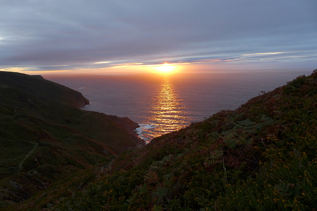
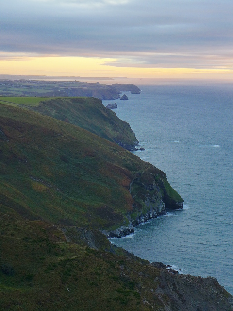
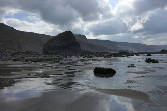
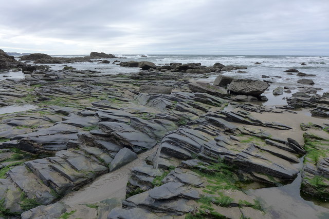
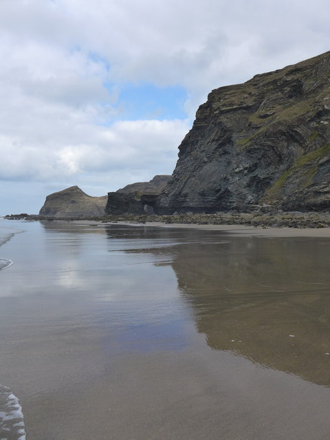
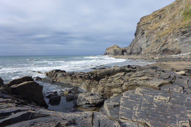
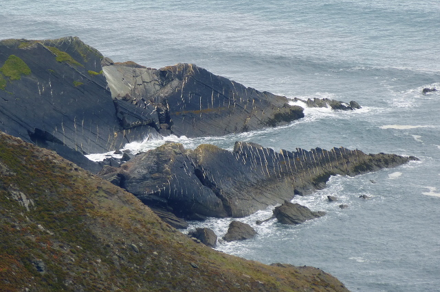
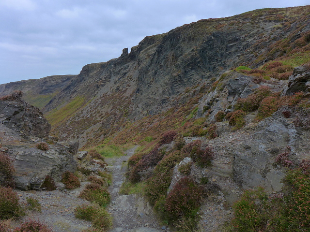
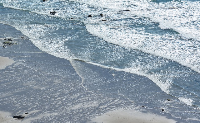
Voter Run is characterized by its rugged and majestic cliffs, which offer breathtaking views of the surrounding landscape and the vast expanse of the sea. The geological formation of this coastal feature is predominantly comprised of slate and granite, which gives it a distinctive appearance.
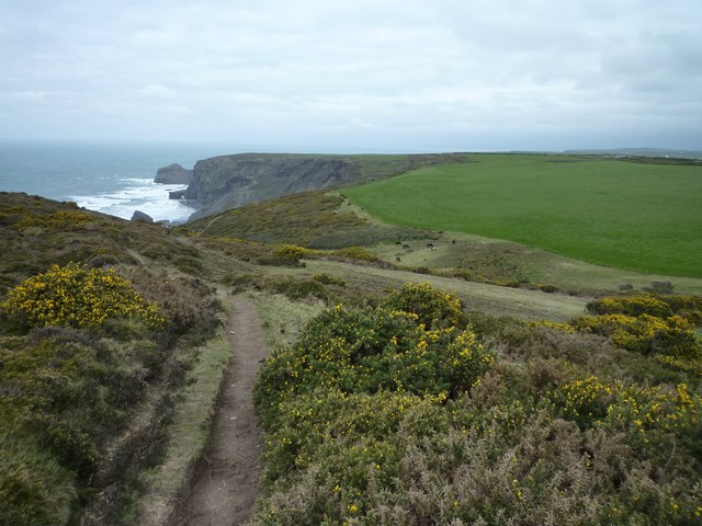
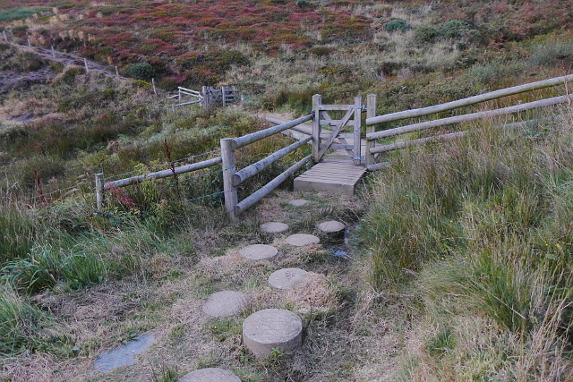
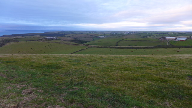
This headland is a popular destination for tourists and locals alike, who are drawn to its natural beauty and the opportunity to engage in various outdoor activities. Hiking and walking trails are available to explore the headland, allowing visitors to experience its stunning coastal scenery up close.
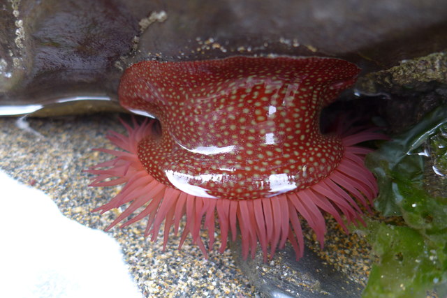
The area surrounding Voter Run is rich in biodiversity, with numerous plant and animal species making it their home. Seabird colonies, including puffins and gannets, can be observed nesting on the cliffs during the breeding season, while seals are often spotted basking on the nearby rocks.
In addition to its natural allure, Voter Run also holds historical significance. The headland is believed to have served as a lookout point during ancient times and played a role in the region's maritime history. Today, remnants of old structures and coastal defenses can still be found, serving as a reminder of the area's past.
Overall, Voter Run is a remarkable coastal feature in Cornwall, offering visitors a chance to immerse themselves in the area's natural beauty and historical significance.
If you have any feedback on the listing, please let us know in the comments section below.
Voter Run Images
Images are sourced within 2km of 50.723128/-4.6556837 or Grid Reference SX1294. Thanks to Geograph Open Source API. All images are credited.
Voter Run is located at Grid Ref: SX1294 (Lat: 50.723128, Lng: -4.6556837)
Unitary Authority: Cornwall
Police Authority: Devon and Cornwall
What 3 Words
///cotton.respond.condense. Near Jacobstow, Cornwall
Nearby Locations
Related Wikis

Pengold
Pengold is a hamlet near St Gennys in Cornwall, England, UK. Pengold is southwest of Higher Crackington. == References ==

St Juliot
St Juliot is a civil parish in north-east Cornwall, England, United Kingdom. The parish is entirely rural and the settlements within it are the hamlets...

Tresparrett Posts
Tresparrett Posts is a hamlet in the civil parish of St Gennys in north Cornwall, England, United Kingdom. == References ==

Beeny
Beeny is a hamlet in north Cornwall, England, UK. It is in a sheltered valley near the coast two miles (3 km) north-east of Boscastle. == Literary allusions... ==
Nearby Amenities
Located within 500m of 50.723128,-4.6556837Have you been to Voter Run?
Leave your review of Voter Run below (or comments, questions and feedback).