South Lennans
Coastal Feature, Headland, Point in Wigtownshire
Scotland
South Lennans
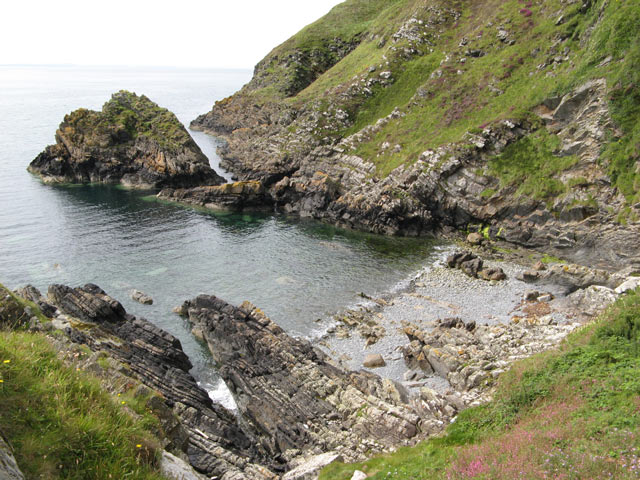
South Lennans is a prominent coastal feature located in Wigtownshire, Dumfries and Galloway, Scotland. It is primarily known for its stunning headland and scenic point, which offers breathtaking views of the surrounding coastline.
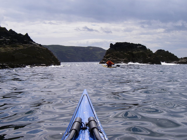
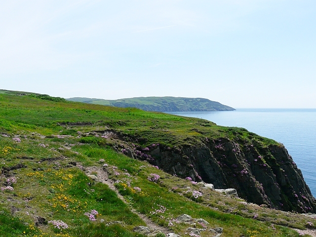
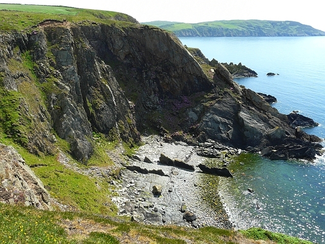
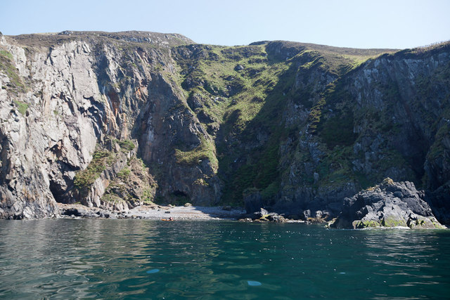
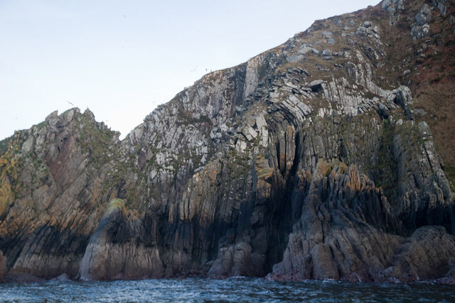
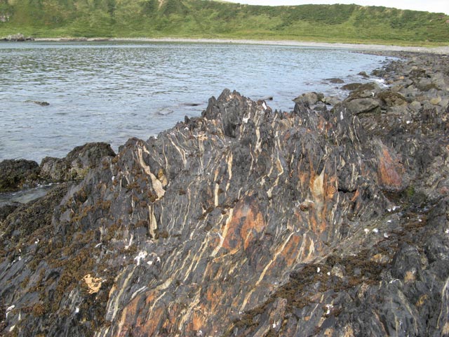
Situated on the west coast of Scotland, South Lennans is characterized by its rugged and dramatic landscape. The headland, which juts out into the Irish Sea, is formed by layers of sedimentary rocks, creating impressive cliffs that reach heights of up to 50 meters. The exposed nature of the headland makes it a popular spot for birdwatching, with various species of seabirds, such as kittiwakes and fulmars, nesting along the cliffs.
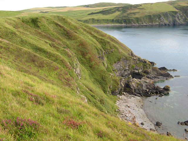
The point at South Lennans provides a vantage point from which visitors can admire the vast expanse of the sea, with clear views of the Isle of Man to the southwest and the Mull of Galloway to the southeast. On a clear day, the point offers a panoramic view of the surrounding coastline, showcasing the diverse and picturesque landscape of Wigtownshire.
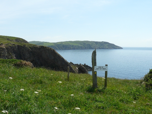
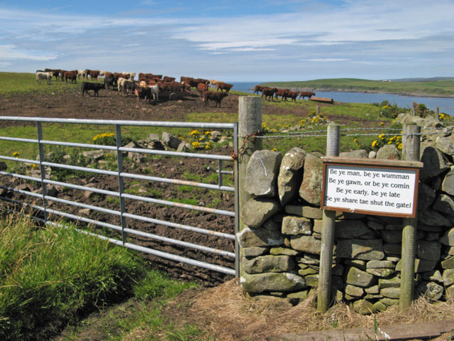
Access to South Lennans is relatively easy, with a well-maintained footpath leading visitors to the headland and point. Along the path, visitors may encounter a variety of wildflowers and grasses, adding to the area's natural beauty. The site also offers ample parking facilities and amenities, including picnic areas and information boards that provide insights into the local flora, fauna, and geological formations.
In summary, South Lennans in Wigtownshire is a captivating coastal feature, renowned for its striking headland and picturesque point. With its stunning cliffs, panoramic views, and abundant wildlife, it is a must-visit destination for nature enthusiasts and those seeking to experience the rugged beauty of Scotland's west coast.
If you have any feedback on the listing, please let us know in the comments section below.
South Lennans Images
Images are sourced within 2km of 54.708229/-4.9595666 or Grid Reference NX0938. Thanks to Geograph Open Source API. All images are credited.


South Lennans is located at Grid Ref: NX0938 (Lat: 54.708229, Lng: -4.9595666)
Unitary Authority: Dumfries and Galloway
Police Authority: Dumfries and Galloway
What 3 Words
///sailing.carpentry.blending. Near Drummore, Dumfries & Galloway
Nearby Locations
Related Wikis

Port Logan
Port Logan, formerly Port Nessock, is a small village in the parish of Kirkmaiden in the Rhins of Galloway in Wigtownshire. The Gaelic name is Port Neasaig...

Kirkmaiden (village)
Kirkmaiden (sometimes Maidenkirk; Scottish Gaelic: Cill M'Eudan) is a small settlement in Galloway, Scotland, located approximately 17 miles (27 km) south...
Kirkmaiden
Kirkmaiden is a parish in the Rhins of Galloway, the most southerly in Scotland; the present Church of Scotland parish has the same name as and is approximately...

Logan Botanic Garden
Logan Botanic Garden is a botanical garden near Port Logan on the Rhins of Galloway, at the south-western tip of Scotland. The Botanic Garden was established...
Drummore
Drummore (drum-ORE; (from Gaelic An Druim Mòr meaning "the great ridge") is the southernmost village in Scotland, located at the southern end of the Rhins...

Doon Castle Broch
Doon Castle Broch is an iron-age broch located in Dumfries and Galloway, Scotland (grid reference NX 06702 44683). == Location == The Broch is located...
Ardwell
Ardwell (from Gaelic Àrd Bhaile meaning "high town", pronounced as "Ardwell") is a village in the Scottish unitary council area of Dumfries and Galloway...
Cairngaan
Cairngaan, Wigtownshire, is the southmost settlement in Scotland. The hamlet of Cairngaan lies just north of the Mull of Galloway (which contains Scotland...
Related Videos

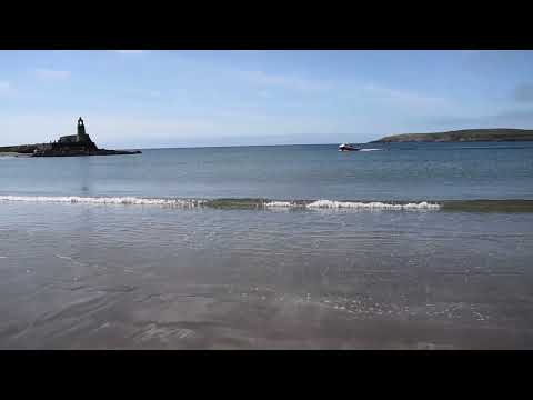
Port Logan beach Scotland
Various views of the beautiful coastline at Port Logan in south-west Scotland on a sunny spring afternoon.


Port Logan Lighthouse
Port Logan Lighthouse Mavic Mini August 2021.
Nearby Amenities
Located within 500m of 54.708229,-4.9595666Have you been to South Lennans?
Leave your review of South Lennans below (or comments, questions and feedback).