Carrickglassen
Coastal Feature, Headland, Point in Wigtownshire
Scotland
Carrickglassen

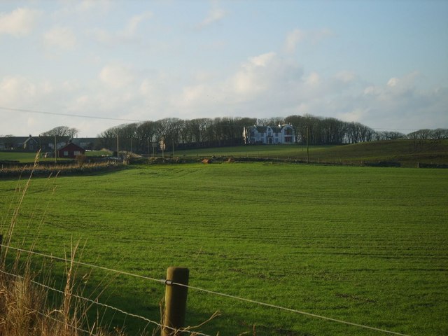
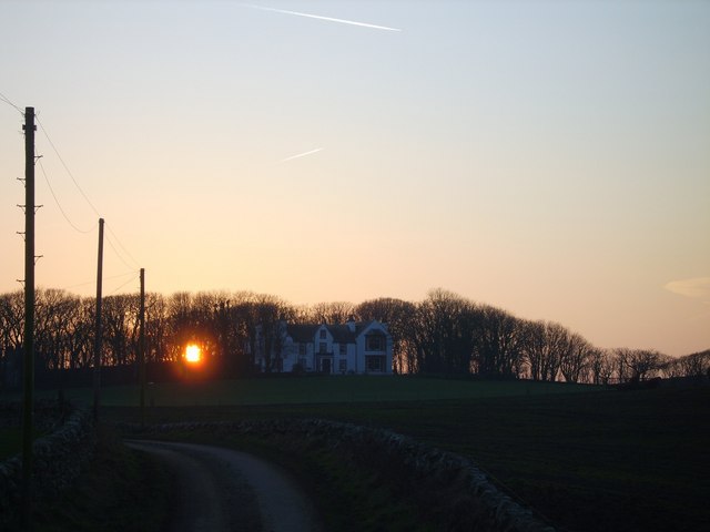
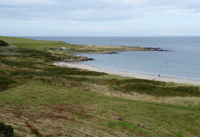
Carrickglassen is a prominent coastal feature located in the region of Wigtownshire in Scotland. Situated along the western coastline of the country, it is specifically positioned as a headland or point, extending out into the North Channel of the Irish Sea.
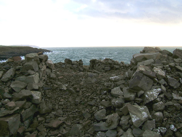
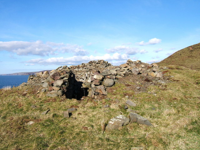
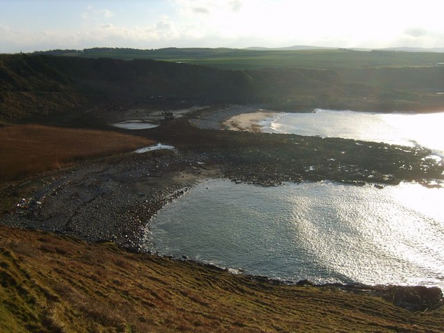
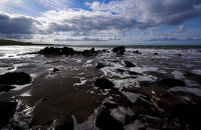
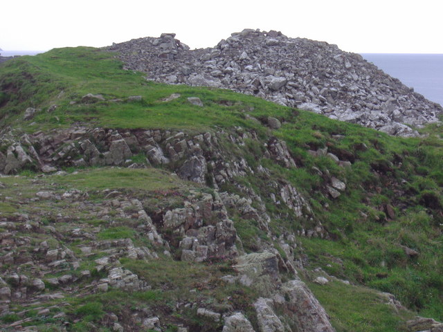
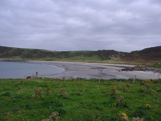
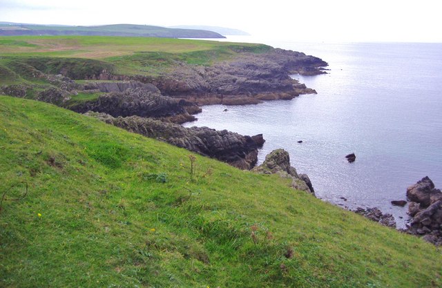
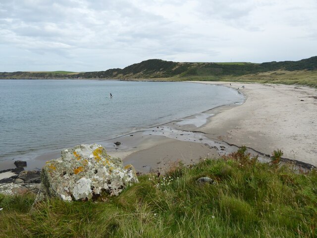
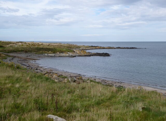
The headland of Carrickglassen is characterized by its rugged and rocky terrain, with steep cliffs that provide breathtaking views of the surrounding area. The headland is made up of a combination of sedimentary and igneous rock formations, which have been shaped over time by the ceaseless action of the sea. These rock formations contribute to the headland's unique and picturesque appearance, attracting visitors and nature enthusiasts alike.
Carrickglassen is known for its diverse and abundant wildlife, with various species of seabirds, such as gulls and cormorants, nesting along its cliffs. The surrounding waters are also home to a wide range of marine life, including seals and dolphins, which can often be spotted swimming near the headland.
In addition to its natural beauty, Carrickglassen holds historical significance. It is believed to have been a site of habitation since ancient times, with archaeological remains dating back thousands of years. The headland is also connected to local folklore and legends, adding to its cultural and historical appeal.
Overall, Carrickglassen is a remarkable coastal feature in Wigtownshire, offering visitors a chance to experience the rugged beauty of Scotland's coastline, observe diverse wildlife, and explore its rich historical and cultural heritage.
If you have any feedback on the listing, please let us know in the comments section below.
Carrickglassen Images
Images are sourced within 2km of 54.755426/-5.0042987 or Grid Reference NX0644. Thanks to Geograph Open Source API. All images are credited.


Carrickglassen is located at Grid Ref: NX0644 (Lat: 54.755426, Lng: -5.0042987)
Unitary Authority: Dumfries and Galloway
Police Authority: Dumfries and Galloway
What 3 Words
///blushed.subsystem.gain. Near Drummore, Dumfries & Galloway
Nearby Locations
Related Wikis

Doon Castle Broch
Doon Castle Broch is an iron-age broch located in Dumfries and Galloway, Scotland (grid reference NX 06702 44683). == Location == The Broch is located...

Clachanmore
Clachanmore is a village in the South Rhins of Galloway near Ardwell in the south west of Scotland. It has also been known as Low Ardwell.The name of the...

Logan Botanic Garden
Logan Botanic Garden is a botanical garden near Port Logan on the Rhins of Galloway, at the south-western tip of Scotland. The Botanic Garden was established...

Ardwell
Ardwell (from Gaelic Àrd Bhaile meaning "high town", pronounced as "Ardwell") is a village in the Scottish unitary council area of Dumfries and Galloway...

Port Logan
Port Logan, formerly Port Nessock, is a small village in the parish of Kirkmaiden in the Rhins of Galloway in Wigtownshire. The Gaelic name is Port Neasaig...
Sandhead
Sandhead is a small village in Dumfries and Galloway, south west Scotland. It overlooks Luce Bay, 7 miles south of Stranraer. The old main road, named...
Knockinaam Lodge
Knockinaam Lodge is a hotel and restaurant located about 3.5 miles South of Portpatrick, Dumfries & Galloway, Scotland. As of 2008, the restaurant holds...
Kirkmaiden
Kirkmaiden is a parish in the Rhins of Galloway, the most southerly in Scotland; the present Church of Scotland parish has the same name as and is approximately...
Related Videos
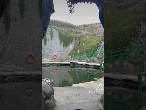

Logan fish pond
This is a video of a trip we had to Logan fish pond while on holiday at Banff caravan site.

No Other Like It ⁉️ Unique Blowhole Big Cod Aquirium Tour for CVUK 200 years Old ⁉️ Lobster Rays RV
Dog Treats 4 Skye x https://www.buymeacoffee.com/kissvillabb Thank You For Your Support #djimini3pro ...
Nearby Amenities
Located within 500m of 54.755426,-5.0042987Have you been to Carrickglassen?
Leave your review of Carrickglassen below (or comments, questions and feedback).