Castle Point
Coastal Feature, Headland, Point in Wigtownshire
Scotland
Castle Point

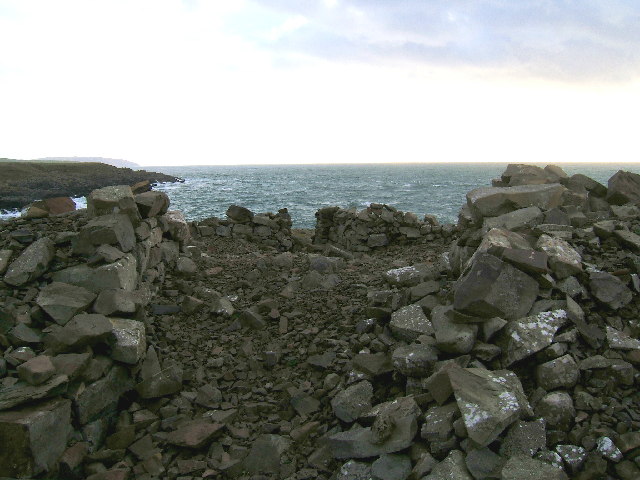
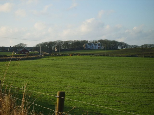
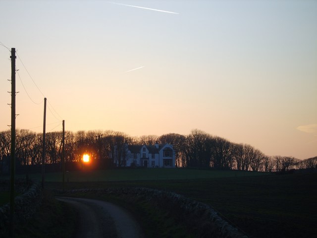
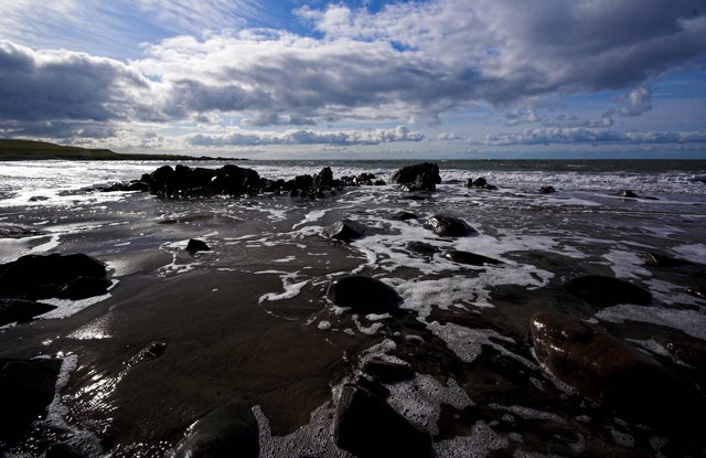
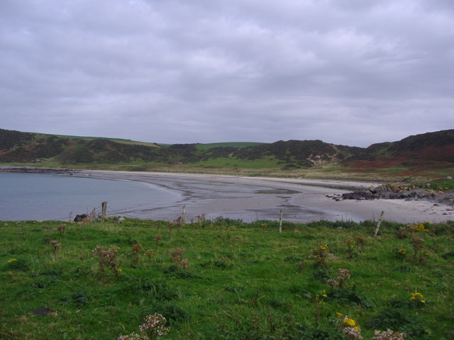
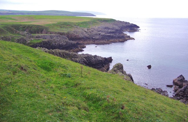
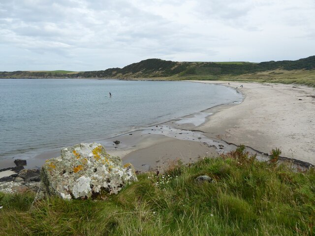
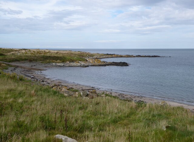
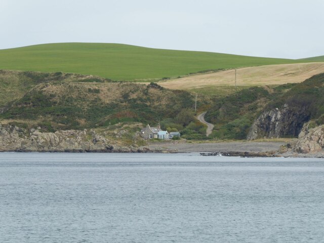
Castle Point is a prominent coastal feature located in Wigtownshire, Scotland. Situated on the western coast of the country, it is a headland that juts out into the North Channel of the Irish Sea. This picturesque point is known for its stunning natural beauty and rich historical significance.
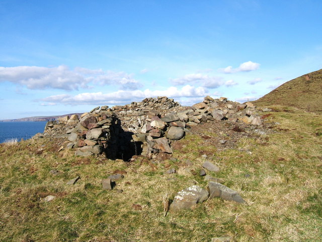
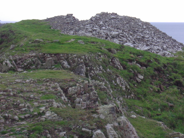
The headland gets its name from the ruins of Castle of St. John, which dates back to the 16th century. These castle remains serve as a reminder of the area's past and add a sense of charm to the landscape. Additionally, the castle offers panoramic views of the surrounding coastline, making it a popular spot for tourists.
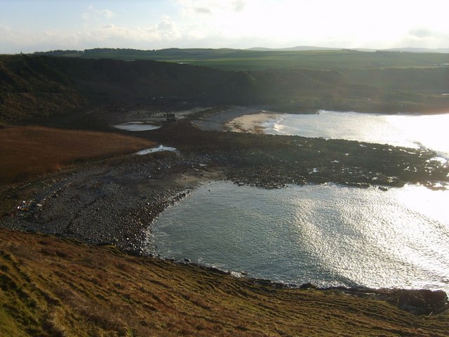
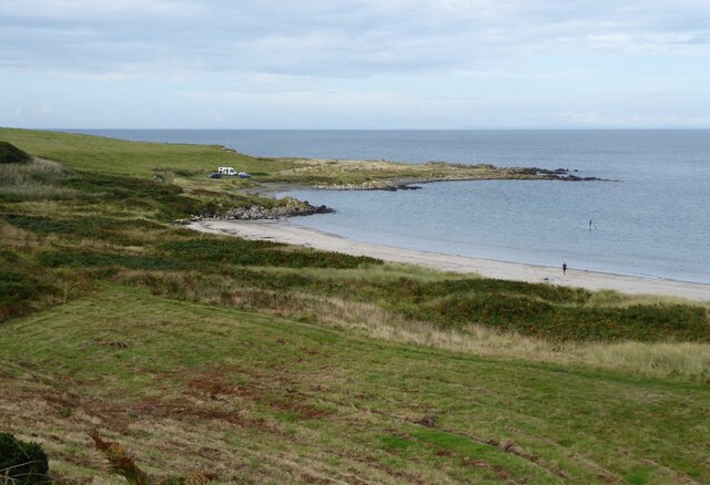
Castle Point is characterized by its rugged cliffs, which are composed of various geological formations such as sandstone and limestone. These cliffs provide a dramatic backdrop to the crashing waves of the sea, creating a breathtaking sight. The area is also home to a diverse range of flora and fauna, making it an ideal spot for nature enthusiasts.
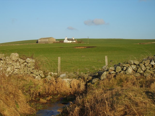
Visitors to Castle Point can enjoy a variety of activities such as hiking, birdwatching, and photography. The headland is part of a larger nature reserve, offering ample opportunities for exploring the surrounding coastal habitat. Additionally, the nearby town of Stranraer provides amenities and accommodations for those looking to stay in the area.
Overall, Castle Point in Wigtownshire is a captivating coastal feature that combines natural beauty with a rich historical heritage. It offers a unique experience for visitors, allowing them to immerse themselves in the stunning scenery and learn about the area's fascinating past.
If you have any feedback on the listing, please let us know in the comments section below.
Castle Point Images
Images are sourced within 2km of 54.759563/-5.0067508 or Grid Reference NX0644. Thanks to Geograph Open Source API. All images are credited.


Castle Point is located at Grid Ref: NX0644 (Lat: 54.759563, Lng: -5.0067508)
Unitary Authority: Dumfries and Galloway
Police Authority: Dumfries and Galloway
What 3 Words
///tonal.formal.blown. Near Drummore, Dumfries & Galloway
Nearby Locations
Related Wikis

Doon Castle Broch
Doon Castle Broch is an iron-age broch located in Dumfries and Galloway, Scotland (grid reference NX 06702 44683). == Location == The Broch is located...

Clachanmore
Clachanmore is a village in the South Rhins of Galloway near Ardwell in the south west of Scotland. It has also been known as Low Ardwell.The name of the...

Logan Botanic Garden
Logan Botanic Garden is a botanical garden near Port Logan on the Rhins of Galloway, at the south-western tip of Scotland. The Botanic Garden was established...

Ardwell
Ardwell (from Gaelic Àrd Bhaile meaning "high town", pronounced as "Ardwell") is a village in the Scottish unitary council area of Dumfries and Galloway...

Port Logan
Port Logan, formerly Port Nessock, is a small village in the parish of Kirkmaiden in the Rhins of Galloway in Wigtownshire. The Gaelic name is Port Neasaig...
Sandhead
Sandhead is a small village in Dumfries and Galloway, south west Scotland. It overlooks Luce Bay, 7 miles south of Stranraer. The old main road, named...
Knockinaam Lodge
Knockinaam Lodge is a hotel and restaurant located about 3.5 miles South of Portpatrick, Dumfries & Galloway, Scotland. As of 2008, the restaurant holds...
Stoneykirk
Stoneykirk (Scottish Gaelic: Eaglais Steafain) is an area and a village in the heart of the Rhins of Galloway, Wigtownshire, in the administrative council...
Nearby Amenities
Located within 500m of 54.759563,-5.0067508Have you been to Castle Point?
Leave your review of Castle Point below (or comments, questions and feedback).