Longdon Hill End
Settlement in Worcestershire Malvern Hills
England
Longdon Hill End
Longdon Hill End is a small village located in the county of Worcestershire, England. Situated in the heart of the picturesque countryside, this rural settlement offers a tranquil escape from the hustle and bustle of city life. With a population of around 200 residents, Longdon Hill End is known for its close-knit community and friendly atmosphere.
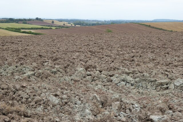
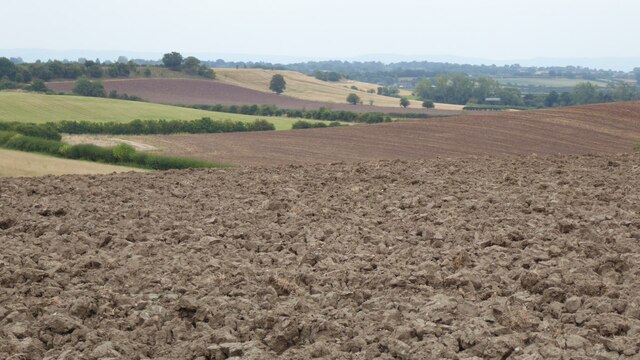
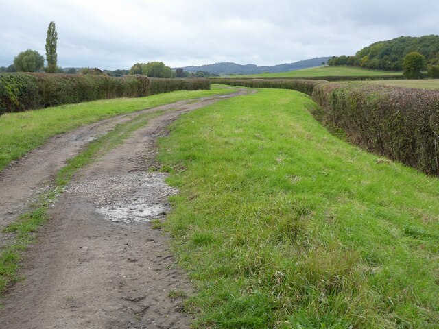
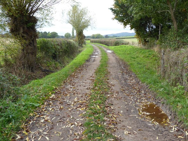
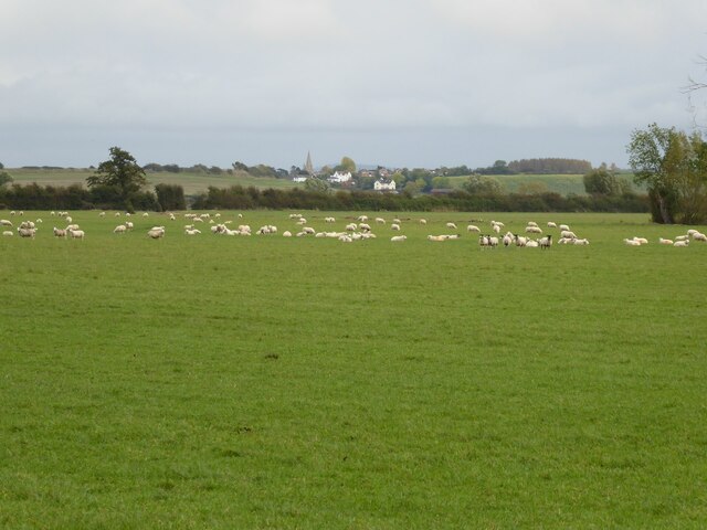
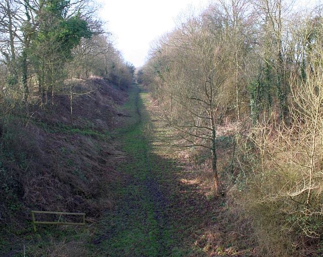
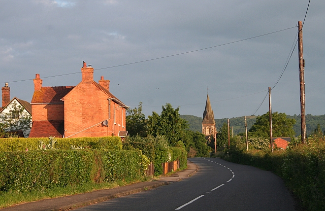
The village is surrounded by rolling hills, lush green fields, and meandering streams, making it a perfect destination for nature lovers and outdoor enthusiasts. The area is rich in wildlife, and residents often spot a variety of birds, rabbits, and deer in their surroundings. The countryside also provides ample opportunities for walking, cycling, and horse riding, with numerous scenic trails and bridleways to explore.
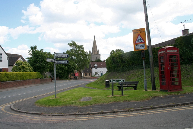
Despite its small size, Longdon Hill End has some amenities to cater to the local community. The village boasts a charming pub, where residents and visitors can enjoy a pint of locally brewed ale or indulge in traditional pub fare. A village hall serves as a focal point for social gatherings, hosting events such as community meetings, celebrations, and clubs.
Longdon Hill End is well-connected to neighboring towns and cities, with easy access to transportation links. The village is approximately 6 miles from the market town of Upton upon Severn and 10 miles from the historic city of Worcester. This proximity allows residents to enjoy the benefits of both rural and urban lifestyles.
Overall, Longdon Hill End offers a peaceful and picturesque setting for those seeking a rural retreat, while still providing convenient access to nearby amenities and attractions.
If you have any feedback on the listing, please let us know in the comments section below.
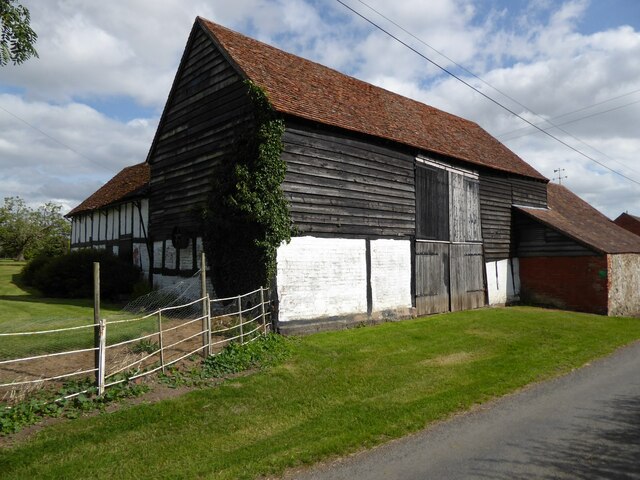
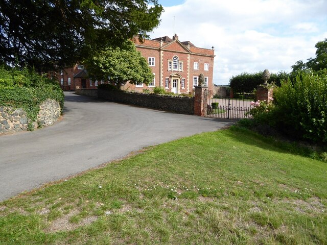
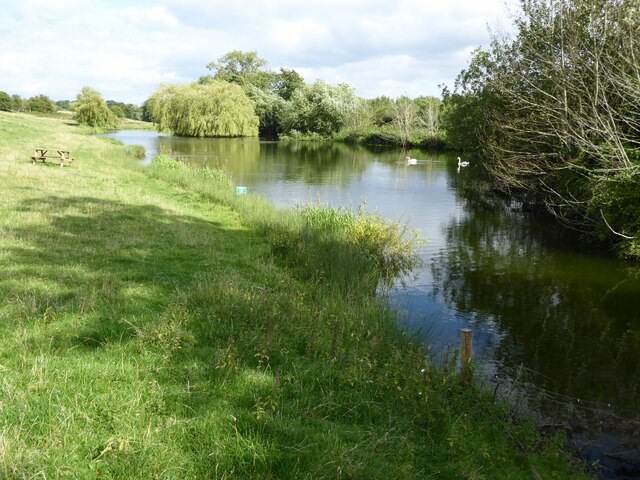
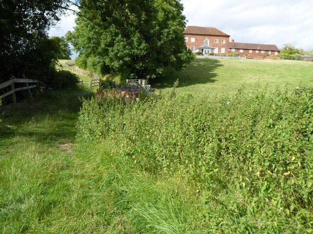
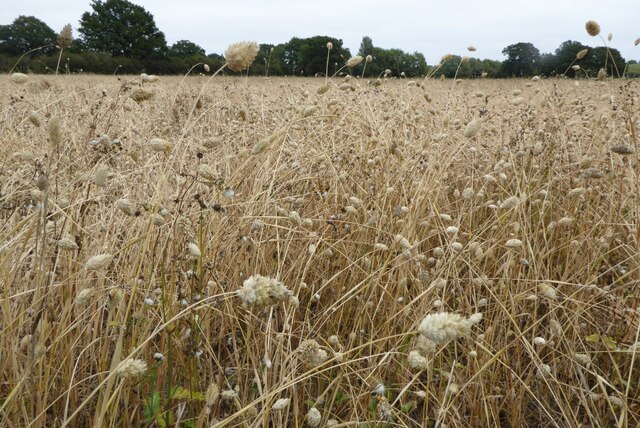
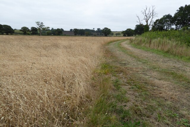
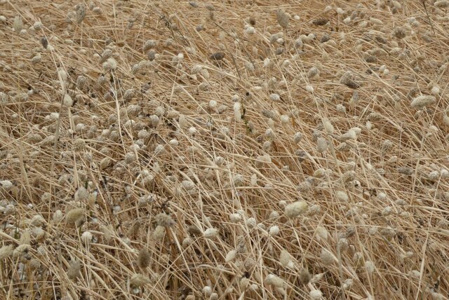
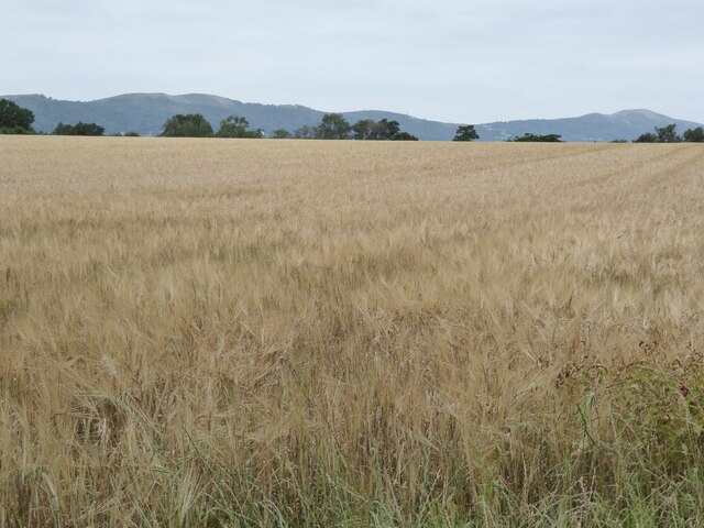
Longdon Hill End Images
Images are sourced within 2km of 52.044123/-2.258776 or Grid Reference SO8238. Thanks to Geograph Open Source API. All images are credited.


Longdon Hill End is located at Grid Ref: SO8238 (Lat: 52.044123, Lng: -2.258776)
Administrative County: Worcestershire
District: Malvern Hills
Police Authority: West Mercia
What 3 Words
///trickles.grace.given. Near Upton upon Severn, Worcestershire
Nearby Locations
Related Wikis
Longdon, Worcestershire
Longdon is a village and a civil parish in the Malvern Hills District and council ward of the county of Worcestershire, England and lies about 5 km (3...
Brotheridge Green Nature Reserve
Brotheridge Green Nature Reserve is a nature reserve of the Worcestershire Wildlife Trust at Brotheridge Green, about 2.5 miles (4.0 km) west of Upton...

Holdfast, Worcestershire
Holdfast is a civil parish in the Malvern Hills District of the county of Worcestershire, England. It is one of three administered by the Parish Council...

Castlemorton
Castlemorton is a village and civil parish close to Malvern in the Malvern Hills District in the county of Worcestershire, England. It consists of a...
Welland, Worcestershire
Welland is a village and civil parish in the administrative district of Malvern Hills in the county of Worcestershire, England. It has a combined parish...
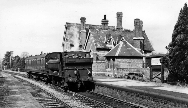
Upton-on-Severn railway station
Upton-on-Severn railway station was a railway station serving Upton-on-Severn in the English county of Worcestershire. == History == It was opened...

Hanley Castle (castle)
Hanley Castle was a Norman castle that stood to the south of the present-day site of the village of Hanley Castle, which lies 2 km north of Upton-upon...

Battle of Upton
The Battle of Upton was fought on 28 August 1651 when a New Model Army detachment under the command of Colonel John Lambert made a surprise attack on Royalists...
Nearby Amenities
Located within 500m of 52.044123,-2.258776Have you been to Longdon Hill End?
Leave your review of Longdon Hill End below (or comments, questions and feedback).