Long Covert
Wood, Forest in Worcestershire Malvern Hills
England
Long Covert
Long Covert is a picturesque woodland located in Worcestershire, England. Situated within the larger area known as the Wood Forest, it spans over a vast expanse of approximately 50 acres. The woodland is characterized by its dense and towering trees, which create a serene and secluded atmosphere for visitors to enjoy.
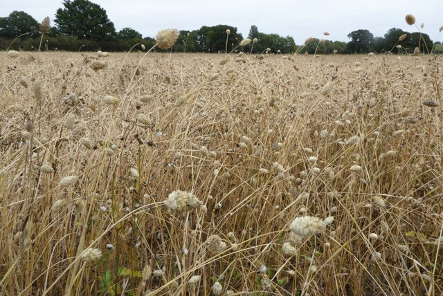
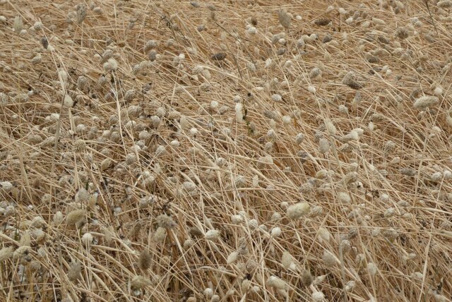
The name "Long Covert" aptly describes the elongated nature of the woodland, stretching along the landscape for a considerable distance. The diverse range of tree species found within the covert includes oak, birch, beech, and ash, among others. These trees provide a rich habitat for various wildlife, such as squirrels, birds, and even deer.
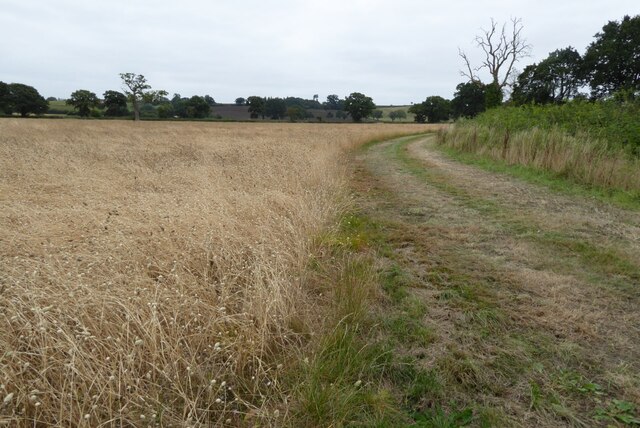
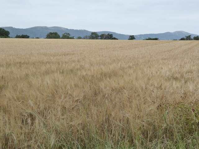
Long Covert is a popular destination for nature enthusiasts and hikers seeking tranquility and a connection with the natural world. The well-maintained trails wind through the woodland, offering visitors the opportunity to explore the area and admire the beauty of the surroundings. The forest floor is adorned with a carpet of lush green foliage and vibrant wildflowers during the spring and summer months, creating a stunning visual display.
Aside from its natural beauty, Long Covert also holds historical significance. It is believed that the woodland has been present for centuries, potentially dating back to medieval times. This rich history adds another layer of intrigue to the area, making it an appealing destination for those interested in both nature and heritage.
Overall, Long Covert in Worcestershire is a captivating woodland that provides a peaceful retreat from the hustle and bustle of everyday life. With its abundant wildlife, scenic trails, and historical significance, it offers a truly enriching experience for visitors of all ages.
If you have any feedback on the listing, please let us know in the comments section below.
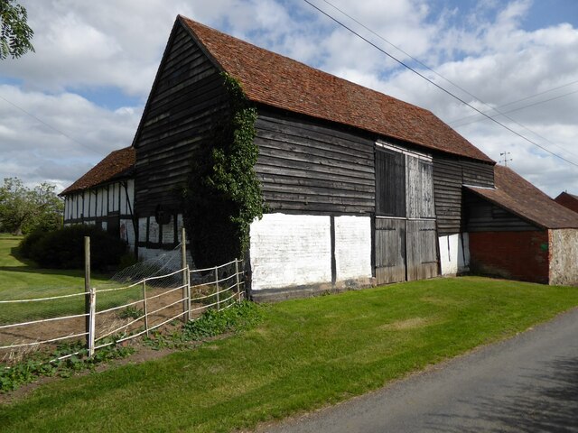
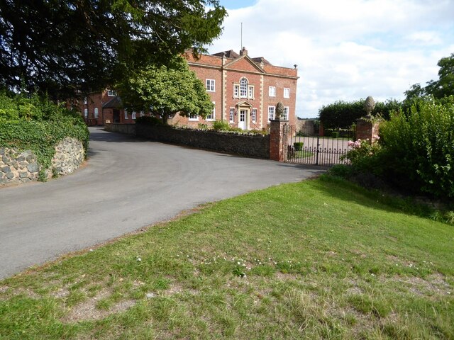
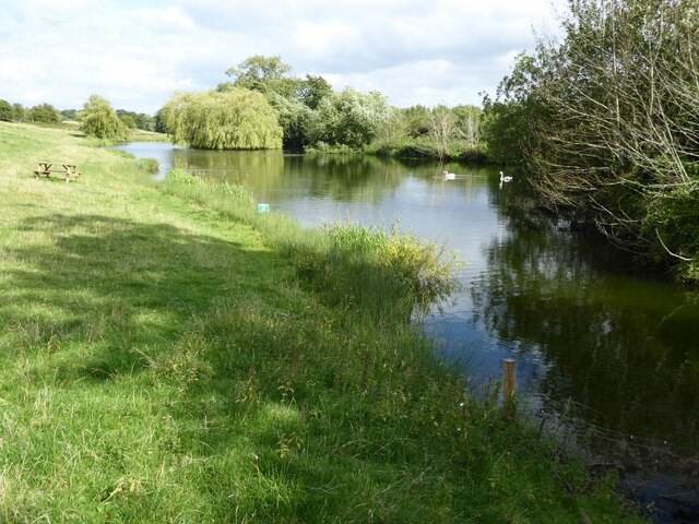
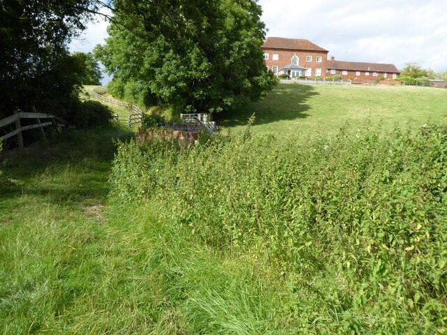
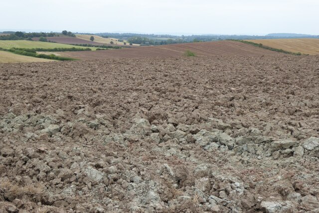
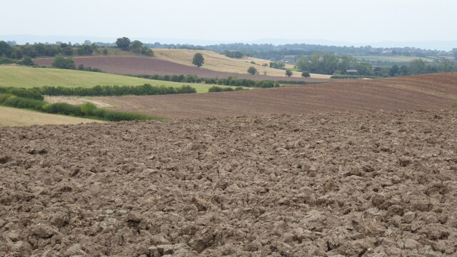
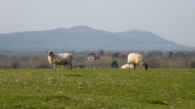
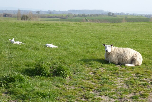
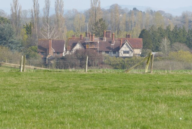
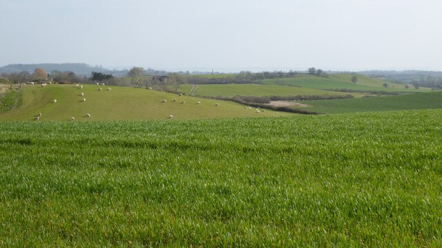
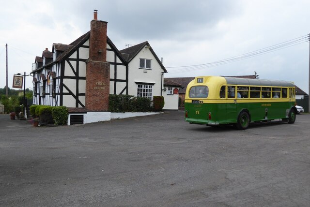
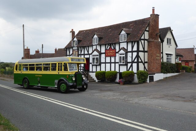
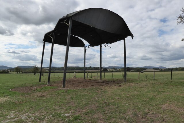
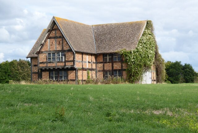
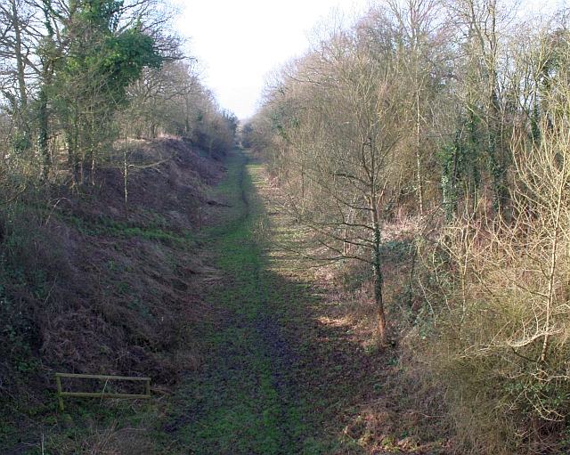
Long Covert Images
Images are sourced within 2km of 52.048898/-2.2507791 or Grid Reference SO8238. Thanks to Geograph Open Source API. All images are credited.
Long Covert is located at Grid Ref: SO8238 (Lat: 52.048898, Lng: -2.2507791)
Administrative County: Worcestershire
District: Malvern Hills
Police Authority: West Mercia
What 3 Words
///striving.awoken.newlywed. Near Upton upon Severn, Worcestershire
Nearby Locations
Related Wikis
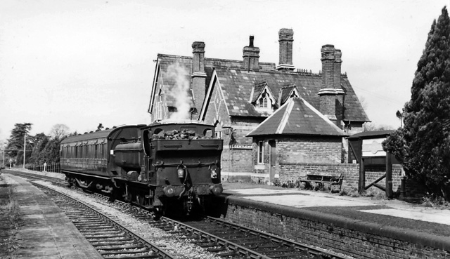
Upton-on-Severn railway station
Upton-on-Severn railway station was a railway station serving Upton-on-Severn in the English county of Worcestershire. == History == It was opened...
Brotheridge Green Nature Reserve
Brotheridge Green Nature Reserve is a nature reserve of the Worcestershire Wildlife Trust at Brotheridge Green, about 2.5 miles (4.0 km) west of Upton...

Holdfast, Worcestershire
Holdfast is a civil parish in the Malvern Hills District of the county of Worcestershire, England. It is one of three administered by the Parish Council...

Hanley Castle (castle)
Hanley Castle was a Norman castle that stood to the south of the present-day site of the village of Hanley Castle, which lies 2 km north of Upton-upon...

Battle of Upton
The Battle of Upton was fought on 28 August 1651 when a New Model Army detachment under the command of Colonel John Lambert made a surprise attack on Royalists...

Upton-upon-Severn
Upton-upon-Severn (or Upton on Severn, etc. and locally simply Upton) is a town and civil parish in the Malvern Hills District of Worcestershire, England...
Longdon, Worcestershire
Longdon is a village and a civil parish in the Malvern Hills District and council ward of the county of Worcestershire, England and lies about 5 km (3...
Hanley Castle High School
Hanley Castle High School is a non-selective mixed secondary school and sixth form centre located in the village of Hanley Castle, 1.4 miles (2.2 km) from...
Nearby Amenities
Located within 500m of 52.048898,-2.2507791Have you been to Long Covert?
Leave your review of Long Covert below (or comments, questions and feedback).