Abbey Wood
Settlement in Kent
England
Abbey Wood
Abbey Wood is a suburban area located in the London Borough of Bexley, Kent, England. Situated in the southeastern part of Greater London, it lies around 10.6 miles (17.1 kilometers) east of Charing Cross. With its proximity to the capital, Abbey Wood benefits from excellent transport links, making it a popular residential area for commuters.
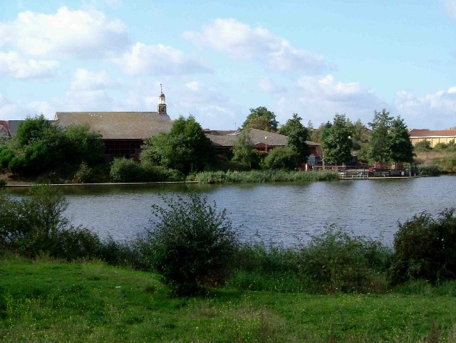
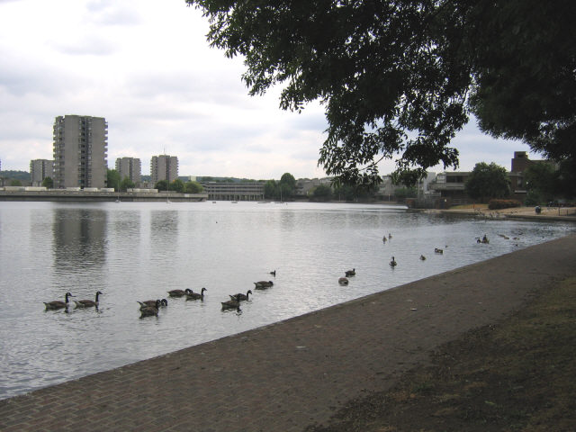
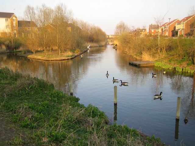
The area is known for its green spaces, including the Lesnes Abbey Woods, a local nature reserve and ancient woodland. This 88.5-acre park offers picturesque walking trails, a variety of wildlife, and the ruins of the historic Lesnes Abbey, a 12th-century monastery. The park also provides stunning views across the Thames River and the London skyline.
Abbey Wood has a range of housing options, from modern apartments to semi-detached and detached houses, catering to different budgets and preferences. The area has undergone significant regeneration in recent years, with the development of the Crossrail project, which will provide faster and more convenient transport connections to central London and beyond.
Residents of Abbey Wood enjoy a range of amenities and services, including shops, restaurants, and pubs. The area is also home to several schools, making it an attractive location for families. In terms of transportation, Abbey Wood is serviced by Abbey Wood railway station, which offers direct links to central London and other locations in Kent.
Overall, Abbey Wood offers a balance between suburban living and easy access to the bustling city, making it a desirable place to call home.
If you have any feedback on the listing, please let us know in the comments section below.
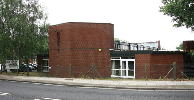
Abbey Wood Images
Images are sourced within 2km of 51.49078/0.108054 or Grid Reference TQ4678. Thanks to Geograph Open Source API. All images are credited.


Abbey Wood is located at Grid Ref: TQ4678 (Lat: 51.49078, Lng: 0.108054)
Unitary Authority: Greenwich
Police Authority: Metropolitan
What 3 Words
///solve.income.moss. Near Abbey Wood, London
Nearby Locations
Related Wikis

St Paul's Academy, Abbey Wood
St Paul's Academy (formerly St Paul's Catholic School) is a mixed Roman Catholic secondary school located in southeast London, England. == History == St...
Church Manor Way Halt railway station
Church Manor Way Halt was a halt station in south-east London, between Plumstead and Abbey Wood on the North Kent Line of the South Eastern and Chatham...

Abbey Wood
Abbey Wood is an area in southeast London, England, straddling the border between the Royal Borough of Greenwich and the London Borough of Bexley. It is...

Woolwich East (UK Parliament constituency)
Woolwich East was a parliamentary constituency represented in the House of Commons of the Parliament of the United Kingdom from 1918 until 1983. Its seat...
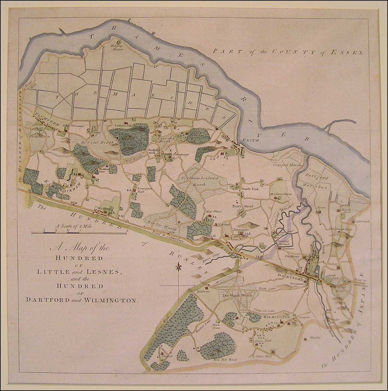
Little and Lesnes Hundred
Little and Lesnes was a hundred, a historical land division, in the county of Kent, England. It occupied the northern part of the Lathe of Sutton-at-Hone...
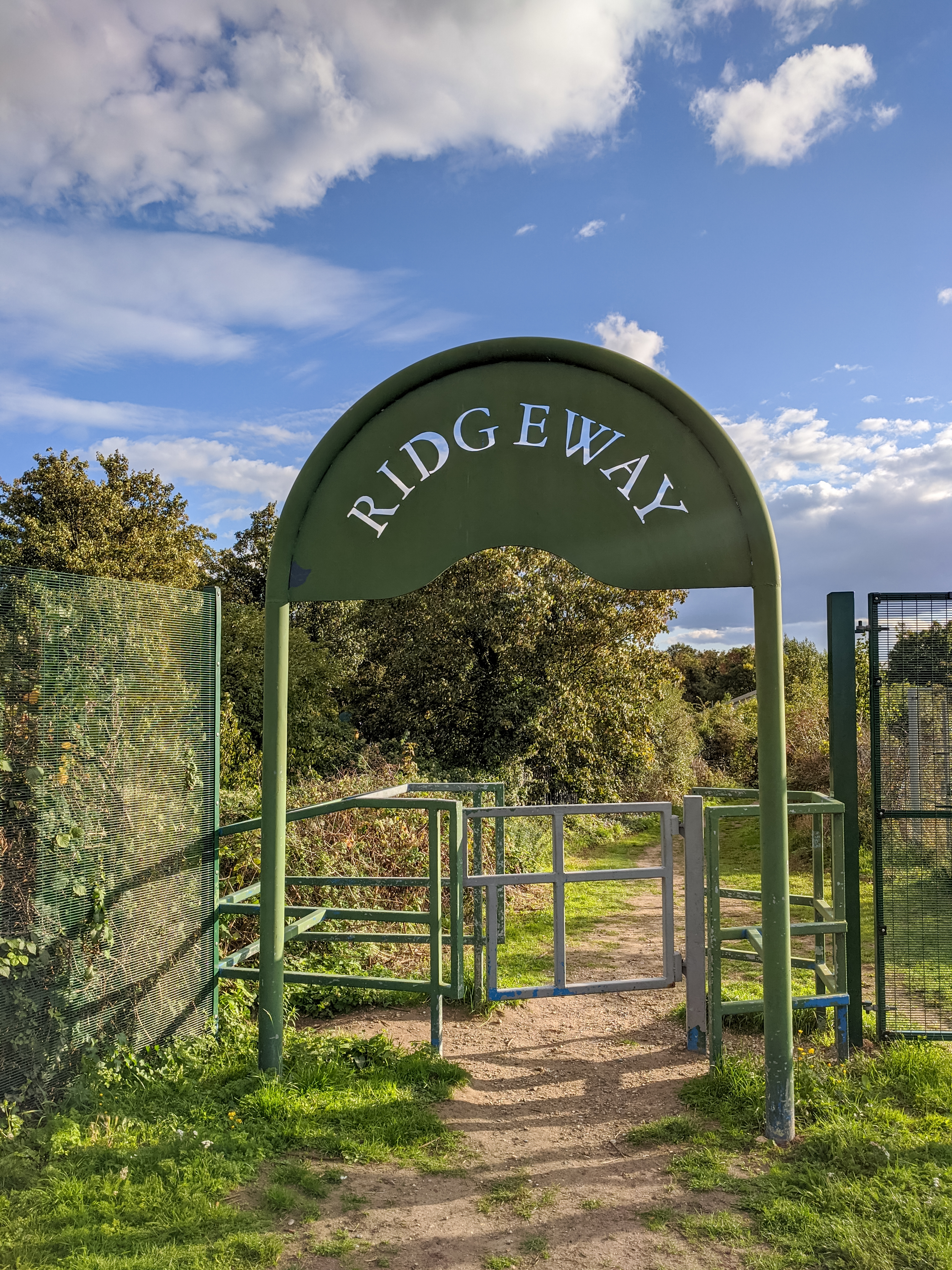
Ridgeway (London)
The Ridgeway is a 3.5-mile (5.6 km) "cycling permitted pedestrian priority" footpath owned by Thames Water in southeast London. It runs between Plumstead...

A209 road
The A209 road is a 2-mile (3.2 km) route in southeast London, England. It connects Plumstead in the north with Welling in the south, passing through East...
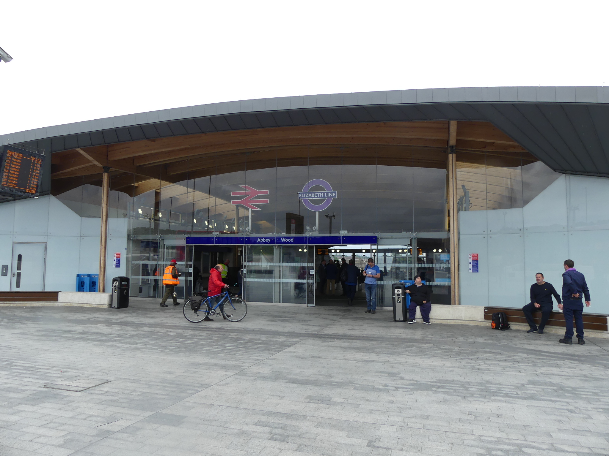
Abbey Wood railway station
Abbey Wood is a National Rail station in Abbey Wood in southeast London, England. It is between Plumstead and Belvedere stations on the North Kent Line...
Nearby Amenities
Located within 500m of 51.49078,0.108054Have you been to Abbey Wood?
Leave your review of Abbey Wood below (or comments, questions and feedback).