Longbenton
Settlement in Northumberland
England
Longbenton

Longbenton is a suburban town located in the county of Northumberland, in the northeast region of England. Situated approximately 5 miles north of Newcastle upon Tyne, Longbenton is part of the Metropolitan Borough of North Tyneside. The town covers an area of around 5 square miles and is home to a population of approximately 34,000 residents.
Historically, Longbenton was predominantly a rural area known for its farmland and mining activities. However, in the mid-20th century, the town underwent significant urbanization and development, transforming it into a residential suburb. Today, Longbenton is primarily a residential area with a mix of housing estates, ranging from post-war council housing to newer private developments.
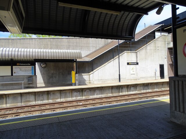
Longbenton is well-connected to the nearby city of Newcastle upon Tyne and the wider region through its excellent transport links. The town is served by Longbenton Metro station, providing easy access to Newcastle city center and other destinations. Additionally, Longbenton is intersected by major roads, including the A188 and A191, enhancing its accessibility by car.
The town offers a range of amenities and facilities to its residents. Longbenton boasts several shopping centers, including the Longbenton Retail Park, providing a variety of retail options. There are also several schools, healthcare facilities, and recreational spaces, such as the Longbenton Park and the Blue Flames Sporting Club, which offers various sports facilities and activities.
Overall, Longbenton is a thriving residential town in Northumberland, offering a convenient location for commuters and a range of amenities for its residents to enjoy.
If you have any feedback on the listing, please let us know in the comments section below.
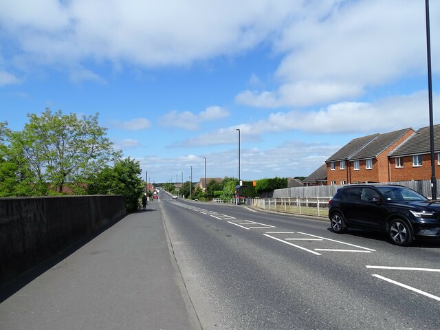
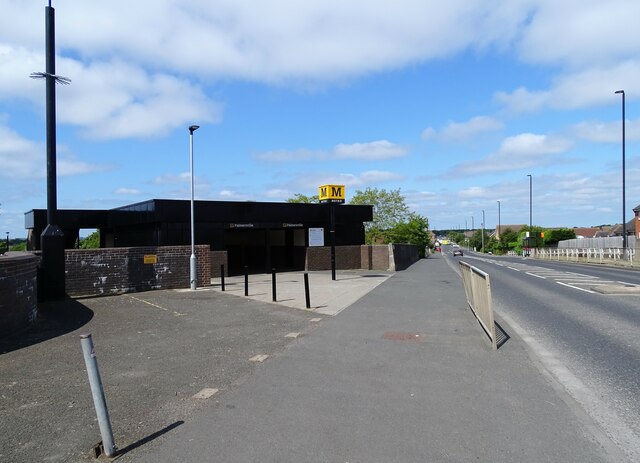
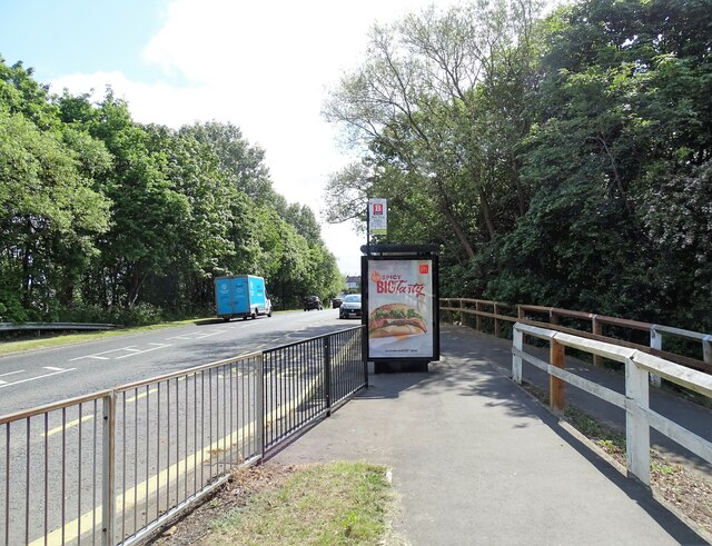
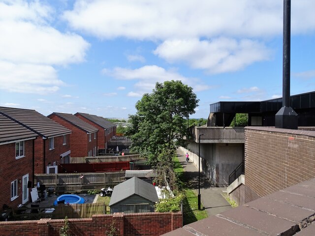
Longbenton Images
Images are sourced within 2km of 55.017492/-1.56519 or Grid Reference NZ2769. Thanks to Geograph Open Source API. All images are credited.


Longbenton is located at Grid Ref: NZ2769 (Lat: 55.017492, Lng: -1.56519)
Unitary Authority: North Tyneside
Police Authority: Northumbria
What 3 Words
///later.myself.hails. Near Wallsend, Tyne & Wear
Nearby Locations
Related Wikis

St Bartholomew's Church, Long Benton
St Bartholomew's Church, Long Benton is the Anglican parish church of Longbenton, in Newcastle upon Tyne, Tyne and Wear. It is built in the Gothic Revival...
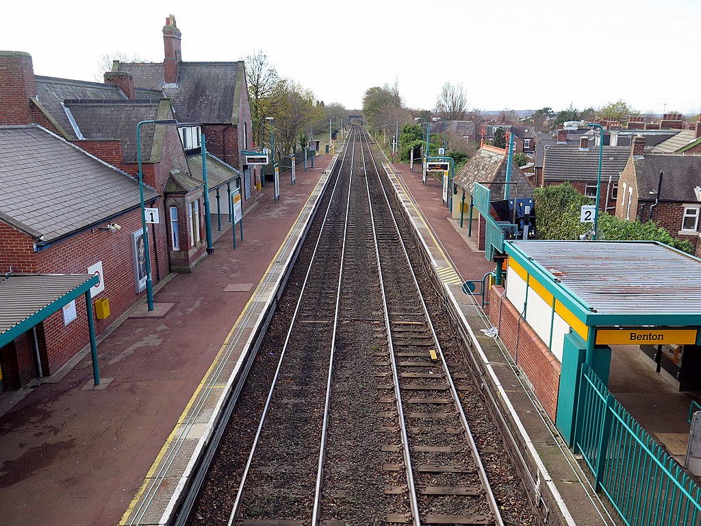
Benton Metro station
Benton is a Tyne and Wear Metro station, serving the suburb of Benton, North Tyneside in Tyne and Wear, England. It joined the network on 11 August 1980...

Forest Hall
Forest Hall is a village in the borough of North Tyneside, Tyne and Wear, England. It is 4 miles from Newcastle upon Tyne. It borders Killingworth to the...
Forest Hall railway station
Forest Hall railway station served the village of Forest Hall, Tyne and Wear, England from 1856 to 1958 on the East Coast Main Line. == History == The...
Nearby Amenities
Located within 500m of 55.017492,-1.56519Have you been to Longbenton?
Leave your review of Longbenton below (or comments, questions and feedback).