Carn Ailpein

Coastal Feature, Headland, Point in Argyllshire

Scotland

Carn Ailpein

Kilninver Primary School beside the A816
Kilninver Primary School beside the A816 Credit: Steven Brown

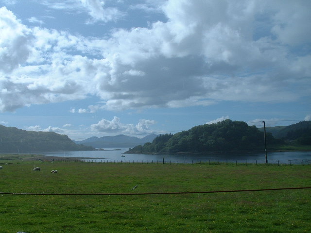
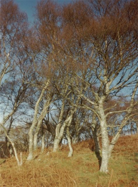
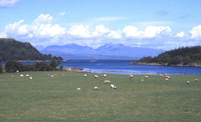
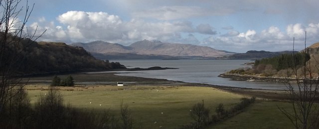
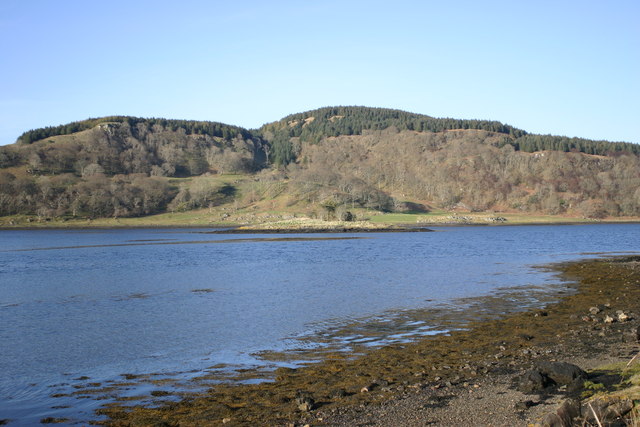
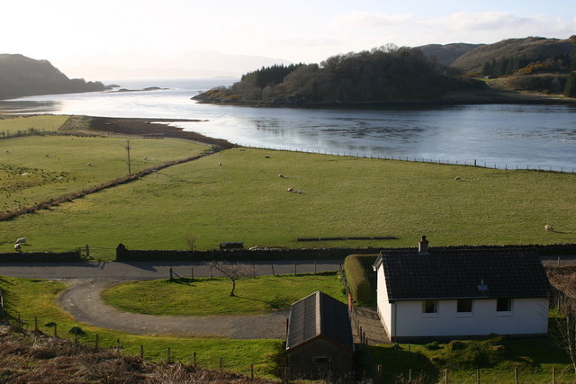
Carn Ailpein is a prominent headland located in Argyllshire, Scotland. It is situated along the rugged and picturesque coastline of the region, offering stunning views of the surrounding sea and landscape. The headland is characterized by steep cliffs that rise dramatically from the water, creating a striking visual contrast against the blue waters of the Atlantic Ocean.

Carn Ailpein is a popular destination for hikers and outdoor enthusiasts, who come to explore the rugged terrain and enjoy the breathtaking views from the top of the headland. The area is also home to a variety of bird species, making it a great spot for birdwatching.

The headland is accessible by foot, with a network of hiking trails leading visitors to its summit. From the top, visitors can take in panoramic views of the surrounding coastline and sea, as well as the nearby islands that dot the horizon.

Overall, Carn Ailpein is a must-visit destination for those looking to experience the natural beauty and rugged charm of the Scottish coastline. Its dramatic cliffs, stunning views, and diverse wildlife make it a truly unique and memorable location.

If you have any feedback on the listing, please let us know in the comments section below.
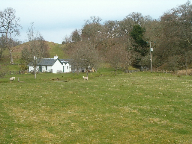
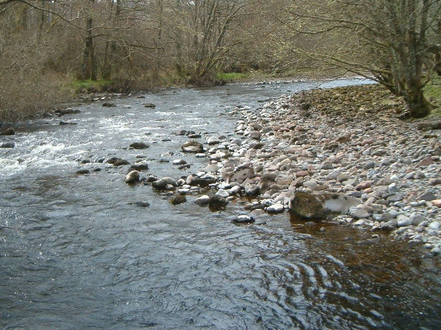
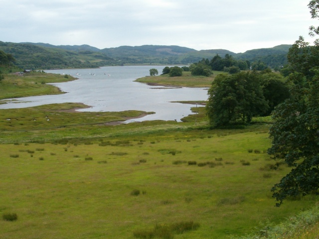
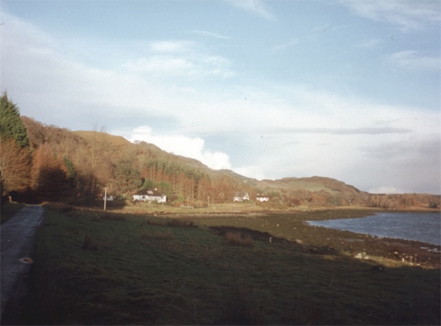
Carn Ailpein Images

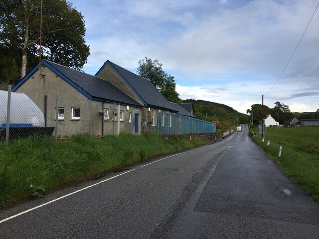
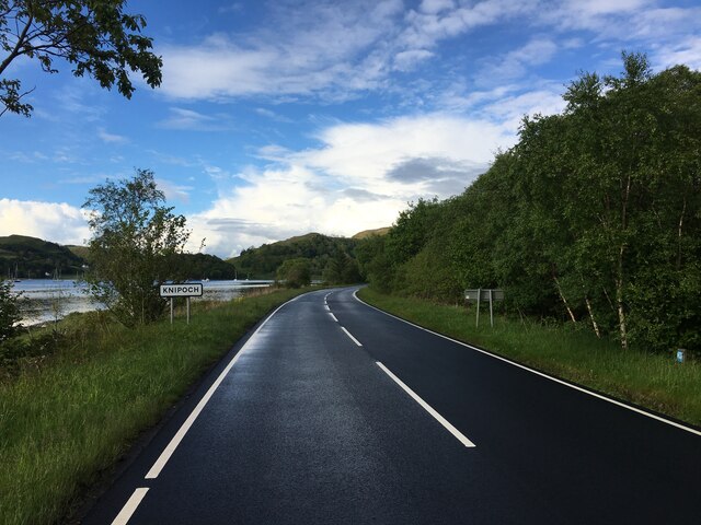
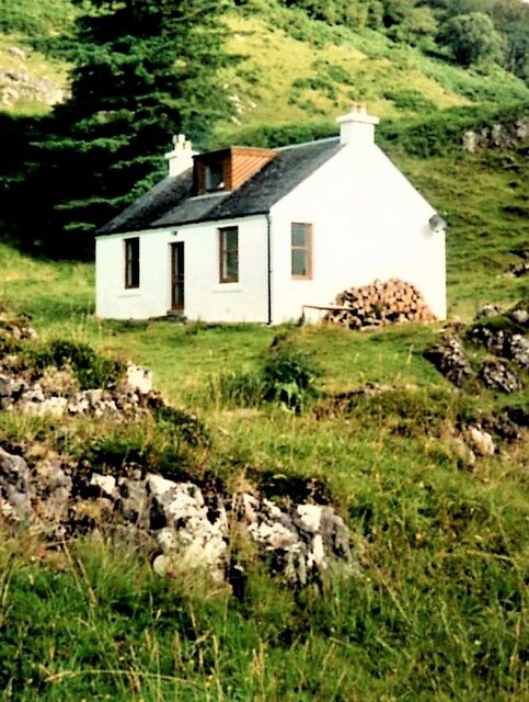
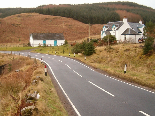
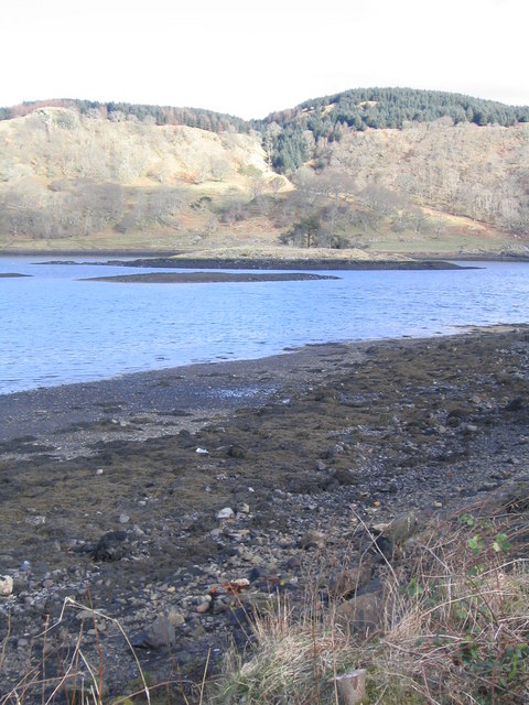
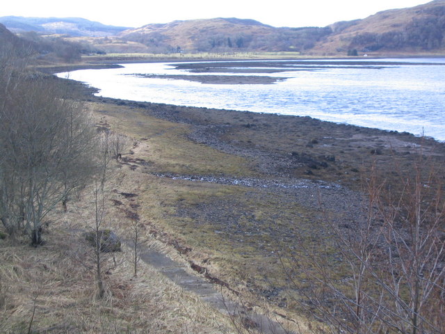
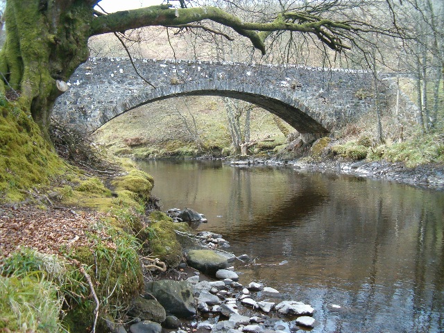
Images are sourced within 2km of 56.345604/-5.5099684 or Grid Reference NM8322. Thanks to Geograph Open Source API. All images are credited.

Kilninver Primary School beside the A816
A816 approaching Knipoch
'Ring of Bright Water' (film location) - Minard Point Tigh Beg Croft and this part of the coastline at the entrance to Loch Feochan was used in the 1968 filming of 'Ring of Bright Water'.
'Ring of Bright Water' (film location) - Minard Point
Tigh Beg Croft and this part of the coastline at the entrance to Loch Feochan was used in the 1968 filming of 'Ring of Bright Water'.
Ardentallen Point Loch Feochan looking West towards the Firth of Lorne
Ardentallen Point
Loch Feochan looking West towards the Firth of Lorne
Trees Ardentallan Point Mature silver birches.
Trees Ardentallan Point
Mature silver birches.
Shore of Loch Feochan At Ardentallan.
Shore of Loch Feochan
At Ardentallan.
Entrance to Loch Feochan, Mull beyond
View from Loch Feochan towards Dun da Ghaoithe This is a beautiful view of the mountain on Mull, seen across the entrance to Loch Feochan.

There are many days when this mountain is invisible due to the mist or rain.
View from Loch Feochan towards Dun da Ghaoithe
This is a beautiful view of the mountain on Mull, seen across the entrance to Loch Feochan. There are many days when this mountain is invisible due to the mist or rain.
Kilniver Primary School
Barochreal
Barochreal
Loch Feochan North across Loch Feochan toward Ardentallan Bay
Loch Feochan
North across Loch Feochan toward Ardentallan Bay
Loch Feochan South shore looking towards the narrows
Loch Feochan
South shore looking towards the narrows
Bridge over the River Euchar at Kilninver The B844 to the Isle of Seil crosses this bridge from left to right.
Bridge over the River Euchar at Kilninver
The B844 to the Isle of Seil crosses this bridge from left to right.
Keeper's Cottage, Kilninver Taken from the section of the B844 which used to be the A816 to Oban.
Keeper's Cottage, Kilninver
Taken from the section of the B844 which used to be the A816 to Oban.
The River Euchar at Kilninver Looking upstream.
The River Euchar at Kilninver
Looking upstream.
Looking across Loch Feochan Looking NE from position
Looking across Loch Feochan
Looking NE from position
Looking seawards from Loch Feochan Looking NW from position
Looking seawards from Loch Feochan
Looking NW from position
Ardentallen Bay A small inlet off Loch Feochan.
Ardentallen Bay
A small inlet off Loch Feochan.
Show me another place!

Carn Ailpein is located at Grid Ref: NM8322 (Lat: 56.345604, Lng: -5.5099684)

Unitary Authority: Argyll and Bute

Police Authority: Argyll and West Dunbartonshire

What 3 Words

///transcribes.paints.crush. Near Oban, Argyll & Bute

Related Wikis

Ardentallen

Ardentallen (Scottish Gaelic: Àird an t-Sàilein) is a village in Argyll and Bute, Scotland. == References ==

Battle of Lagganmore

The Battle of Lagganmore took place in 1646 at Lagganmore in Glen Euchar, west of Loch Scammadale. It was part of the Wars of the Three Kingdoms, though...
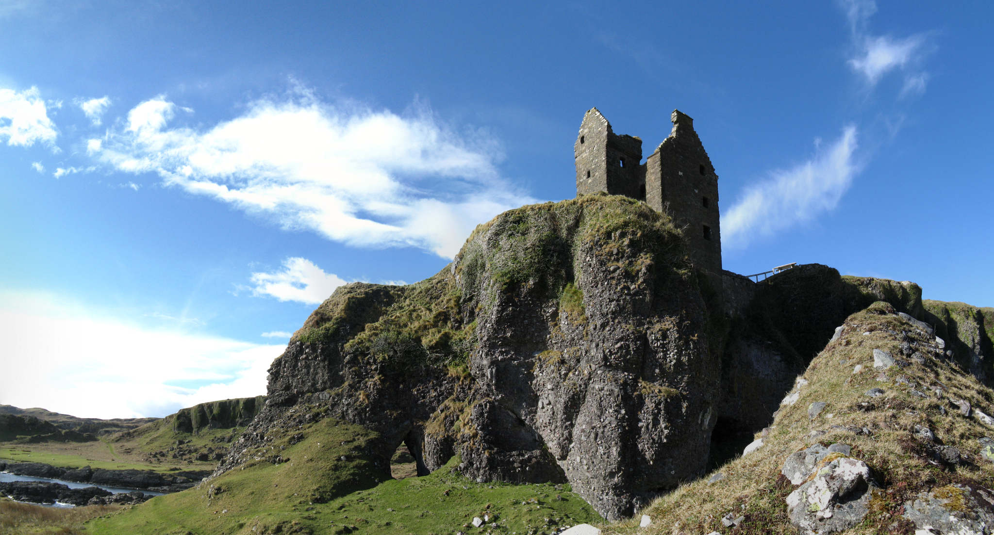
Gylen Castle

Gylen Castle is a ruined castle, or tower house, at the south end of the island of Kerrera in Argyll and Bute, Scotland, on a promontory overlooking the...
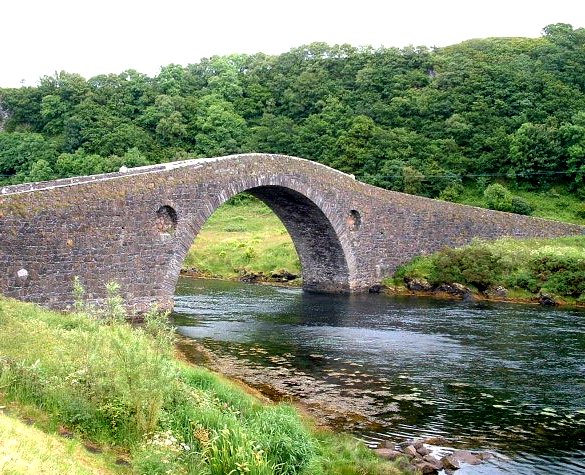
Clachan Bridge

The Clachan Bridge is a simple, single-arched, hump-backed, masonry bridge spanning the Clachan Sound, 13 kilometres (8 mi) southwest of Oban in Argyll...

Nearby Amenities

Located within 500m of 56.345604,-5.5099684
Building: yes
Lat/Long: 56.3489036/-5.5150662
Power: pole
Lat/Long: 56.3428339/-5.5117649
Power: pole
Lat/Long: 56.3427188/-5.5108426
Power: pole
Lat/Long: 56.3431577/-5.5098877
Power: pole
Lat/Long: 56.3437017/-5.5089803
Power: pole
Lat/Long: 56.3448817/-5.5068214
Power: pole
Lat/Long: 56.3456015/-5.5054958
Power: pole
Lat/Long: 56.3468028/-5.5044697
Power: pole
Lat/Long: 56.3428941/-5.5124794
Power: pole
Lat/Long: 56.3423429/-5.515215
Power: pole
Lat/Long: 56.3422826/-5.5089075
Give Way
Direction: backward
Lat/Long: 56.3463782/-5.5059515
The data included in this document is from www.openstreetmap.org. The data is made available under ODbL.

Have you been to Carn Ailpein?

Leave your review of Carn Ailpein below (or comments, questions and feedback).