Creagan Ruaraidh Hèac

Coastal Feature, Headland, Point in Ross-shire

Scotland

Creagan Ruaraidh Hèac

Minor road junction in Inverasdale Pool House in the distance.
Minor road junction in Inverasdale Credit: Gordon Brown

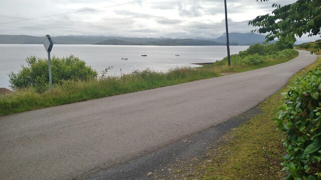
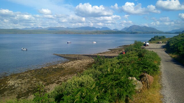
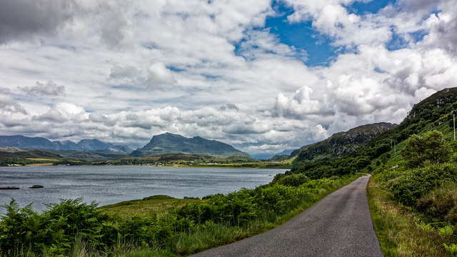
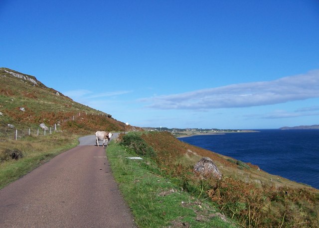
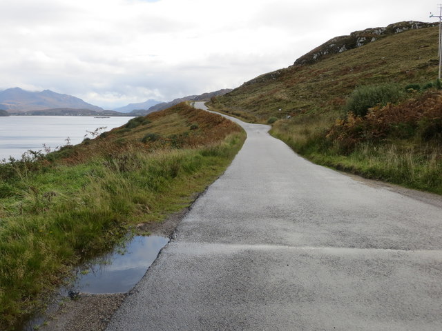
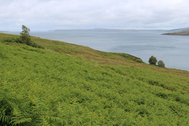
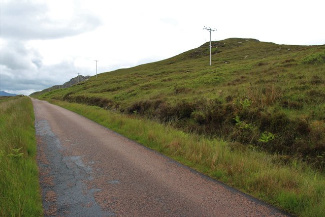
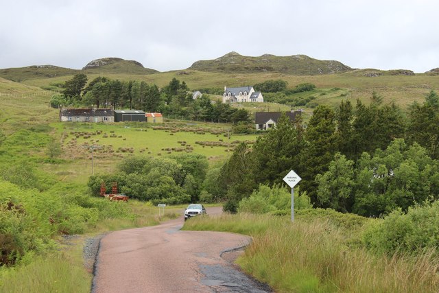
Creagan Ruaraidh Hèac, located in Ross-shire, Scotland, is a prominent coastal feature that is known for its stunning natural beauty and historical significance. Also referred to as Creagan Ruairidh Hèac, it is a headland or point that juts out into the sea, offering breathtaking views of the surrounding landscape.

The headland is characterized by its rugged cliffs, which rise dramatically from the water below. These cliffs are composed of various types of rock, including sandstone and slate, and exhibit fascinating geological formations. Visitors can witness the power of the ocean as waves crash against the base of the cliffs, creating a mesmerizing spectacle.

Creagan Ruaraidh Hèac is also steeped in history and folklore. It is believed to have been an important site during ancient times, serving as a defensive location due to its strategic position overlooking the sea. The headland is said to have connections to the Picts, an ancient Celtic people who inhabited Scotland. Ruins of ancient structures, such as forts and burial sites, can still be found in the vicinity of Creagan Ruaraidh Hèac, further adding to its historical significance.

The headland is a popular attraction for nature enthusiasts, hikers, and photographers. Its unique combination of towering cliffs, rugged coastline, and scenic views make it a picturesque spot for capturing the beauty of the Scottish landscape. Additionally, its historical significance adds an extra layer of intrigue, making it a must-visit destination for those interested in Scotland's rich heritage.

If you have any feedback on the listing, please let us know in the comments section below.

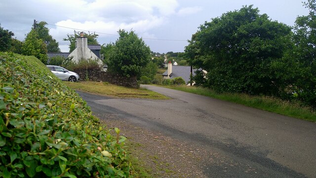
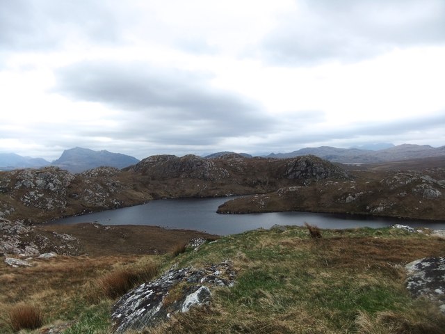
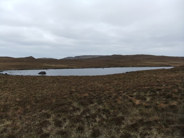
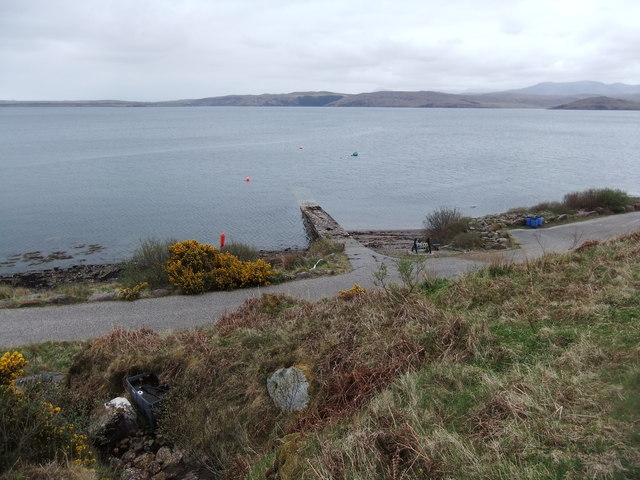
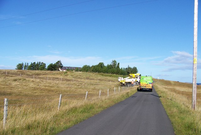
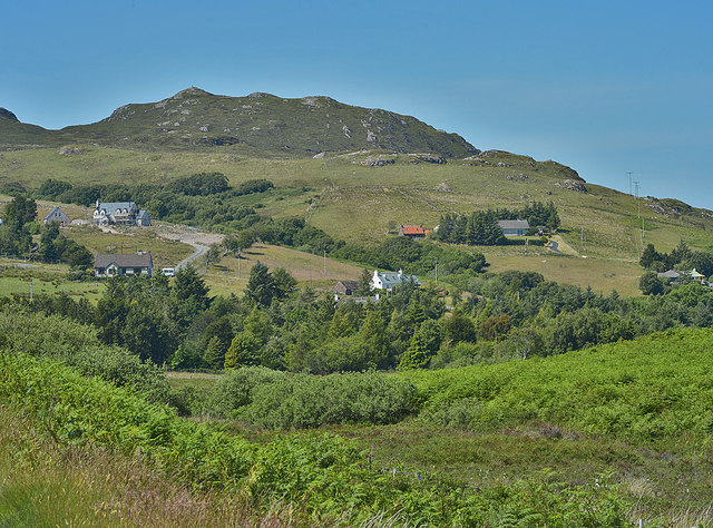
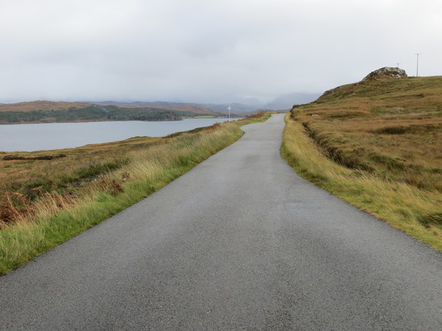
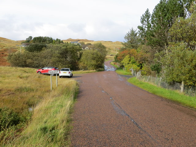
Creagan Ruaraidh Hèac Images

Images are sourced within 2km of 57.784321/-5.6512094 or Grid Reference NG8383. Thanks to Geograph Open Source API. All images are credited.

Minor road junction in Inverasdale Pool House in the distance.
Minor road junction in Inverasdale
Pool House in the distance.
The road to Poolewe from Inverasdale Loch Ewe (sea loch) to the left.
The road to Poolewe from Inverasdale
Loch Ewe (sea loch) to the left.
Jetty and moorings at Inverasdale
Loch Chriostina
Loch Chriostina
Loch na Cloiche
Loch na Cloiche
Jetty at Midtown
Jetty at Midtown
Minor road by Loch Ewe
B8057 south of Naast
B8057 north of Naast
Naast from the south east
Road (B8057) beside Loch Ewe between Naast and Boor Looking south-eastward.
Road (B8057) beside Loch Ewe between Naast and Boor
Looking south-eastward.
Road (B8057) entering Naast Looking north-westward.
Road (B8057) entering Naast
Looking north-westward.
Road (B8057) beside Loch Ewe between Brae and Naast Looking south-eastward.
Road (B8057) beside Loch Ewe between Brae and Naast
Looking south-eastward.
Coastal slopes at the head of Loch Ewe
Druim Barraich from the B8057
Mixed housing at Naast
Jetty at Midtown
Jetty at Midtown
Hill slope descending to shore of Loch Ewe The slopes descend from the B8057 north-west of Boor. The string of rocks in the sea loch are Boor Rocks.
Distantly the view is towards the head of the loch where lies Poolewe.
The most prominent peak in view is Beinn Airigh Charr.
Hill slope descending to shore of Loch Ewe
The slopes descend from the B8057 north-west of Boor. The string of rocks in the sea loch are Boor Rocks. Distantly the view is towards the head of the loch where lies Poolewe. The most prominent peak in view is Beinn Airigh Charr.
Show me another place!

Creagan Ruaraidh Hèac is located at Grid Ref: NG8383 (Lat: 57.784321, Lng: -5.6512094)

Unitary Authority: Highland

Police Authority: Highlands and Islands

What 3 Words

///readers.cement.official. Near Gairloch, Highland

Related Wikis

Inverasdale

Inverasdale (Scottish Gaelic: Inbhir Àsdail) is a hamlet in the Northwest Highlands of Scotland, located by Loch Ewe, in the region of Wester Ross. �...

Inverewe Garden

Inverewe Garden (Scottish Gaelic: Gàradh Inbhir Iù) is a botanical garden in Wester Ross in the Scottish Highlands. It is located just to the north of...

Poolewe Stone

The Poolewe Stone is a Class-I Pictish stone discovered in 1992 in the cemetery at Poolewe (Poll Iùbh) in Wester Ross. The stone carries the common Pictish...

Poolewe

Poolewe (Scottish Gaelic: Poll Iù) is a small village in Wester Ross in the North West Highlands of Scotland, about 75 miles (120 kilometres) northwest...

Nearby Amenities

Located within 500m of 57.784321,-5.6512094
Source: PGS
Lat/Long: 57.7830101/-5.6440361
Source: PGS
Lat/Long: 57.7835166/-5.6444946
Source: PGS
Lat/Long: 57.7839024/-5.6448942
Source: PGS
Lat/Long: 57.7844034/-5.6453556
Source: PGS
Lat/Long: 57.7847007/-5.6458502
Source: PGS
Lat/Long: 57.7848554/-5.6462946
Source: PGS
Lat/Long: 57.7852216/-5.646659
Source: PGS
Lat/Long: 57.7855297/-5.6470141
Source: PGS
Lat/Long: 57.7857336/-5.6475437
Source: PGS
Lat/Long: 57.7864913/-5.6487307
Source: PGS
Lat/Long: 57.7866666/-5.6491229
Source: PGS
Lat/Long: 57.7867694/-5.6494732
Source: PGS
Lat/Long: 57.7867755/-5.6497422
Source: PGS
Lat/Long: 57.7873119/-5.6505639
Created By: almien_coastlines
Source: PGS
Lat/Long: 57.787382/-5.651222
Source: PGS
Lat/Long: 57.7879511/-5.6520921
Source: PGS
Lat/Long: 57.7880548/-5.6522238
Source: PGS
Lat/Long: 57.787912/-5.6531951
Bus Stop
Letterbox
Naptan AtcoCode: 6700713285
Naptan Bearing: N
Naptan CommonName: Letterbox
Naptan Indicator: opp
Naptan Landmark: Letterbox
Naptan NaptanCode: 45328636
Naptan Street: B8057
Naptan Verified: no
Source: naptan_import
Lat/Long: 57.7867814/-5.6569275
Bus Stop
Letterbox
Local Ref: AT
Naptan AtcoCode: 6700713285A
Naptan Bearing: S
Naptan CommonName: Letterbox
Naptan Indicator: at
Naptan Landmark: Letterbox
Naptan NaptanCode: 45329568
Naptan Street: B8057
Naptan Verified: no
Source: naptan_import
Lat/Long: 57.7868132/-5.6567624
Post Box
Ref: IV22 227
Source: survey
Lat/Long: 57.7868999/-5.6566818
Power: pole
Lat/Long: 57.7861391/-5.6574814
Power: pole
Lat/Long: 57.7856183/-5.6572926
Power: pole
Lat/Long: 57.7851503/-5.6570763
Power: pole
Lat/Long: 57.7845972/-5.6562701
Power: pole
Lat/Long: 57.7841895/-5.6556239
Power: pole
Lat/Long: 57.7837296/-5.6548611
Power: pole
Lat/Long: 57.7832675/-5.6538028
Power: pole
Lat/Long: 57.7828098/-5.652666
Power: pole
Lat/Long: 57.7825909/-5.6521245
Power: pole
Lat/Long: 57.7821494/-5.6510675
Power: pole
Lat/Long: 57.7817446/-5.6500092
Power: pole
Lat/Long: 57.7814044/-5.6490322
Power: pole
Lat/Long: 57.7810988/-5.6481173
Power: pole
Lat/Long: 57.7807454/-5.6470865
The data included in this document is from www.openstreetmap.org. The data is made available under ODbL.

Have you been to Creagan Ruaraidh Hèac?

Leave your review of Creagan Ruaraidh Hèac below (or comments, questions and feedback).