Sròn an Stiallaidh
Coastal Feature, Headland, Point in Ross-shire
Scotland
Sròn an Stiallaidh

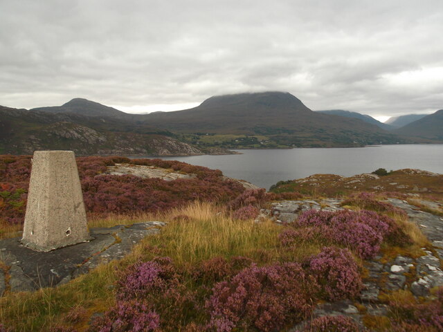
Sròn an Stiallaidh is a prominent coastal feature located in Ross-shire, Scotland. Situated on the northwest coast of the Highlands, it is known for its stunning rugged beauty and breathtaking views of the surrounding landscape. Sròn an Stiallaidh is classified as a headland or point, jutting out into the North Atlantic Ocean.
The headland is characterized by its steep cliffs, which rise dramatically from the sea, providing a striking contrast against the deep blue waters below. These cliffs are formed from layers of sedimentary rock, which have been shaped over millions of years by the relentless forces of erosion. As a result, Sròn an Stiallaidh exhibits a unique and intricate geological formation.
The headland is also home to a diverse array of wildlife, both on land and in the water. Seabirds such as gannets, kittiwakes, and puffins can be seen nesting on the cliffs, while seals and dolphins are often spotted swimming in the nearby waters. The surrounding area is rich in marine life, making it a popular spot for fishing and wildlife enthusiasts.
Access to Sròn an Stiallaidh is relatively easy, with a well-maintained footpath leading visitors to the headland. From the top, one can enjoy panoramic views of the surrounding coastline, including the nearby islands of Skye and Lewis. The headland is also a great vantage point for watching the sunset, creating a truly magical experience for those lucky enough to witness it.
In conclusion, Sròn an Stiallaidh is a captivating coastal feature in Ross-shire, offering visitors a glimpse of Scotland's stunning natural beauty. Its towering cliffs, abundant wildlife, and breathtaking views make it a must-visit destination for nature lovers and outdoor enthusiasts.
If you have any feedback on the listing, please let us know in the comments section below.
Sròn an Stiallaidh Images
Images are sourced within 2km of 57.529109/-5.628821 or Grid Reference NG8254. Thanks to Geograph Open Source API. All images are credited.


Sròn an Stiallaidh is located at Grid Ref: NG8254 (Lat: 57.529109, Lng: -5.628821)
Unitary Authority: Highland
Police Authority: Highlands and Islands
What 3 Words
///blanking.topmost.shades. Near Lochcarron, Highland
Nearby Locations
Related Wikis
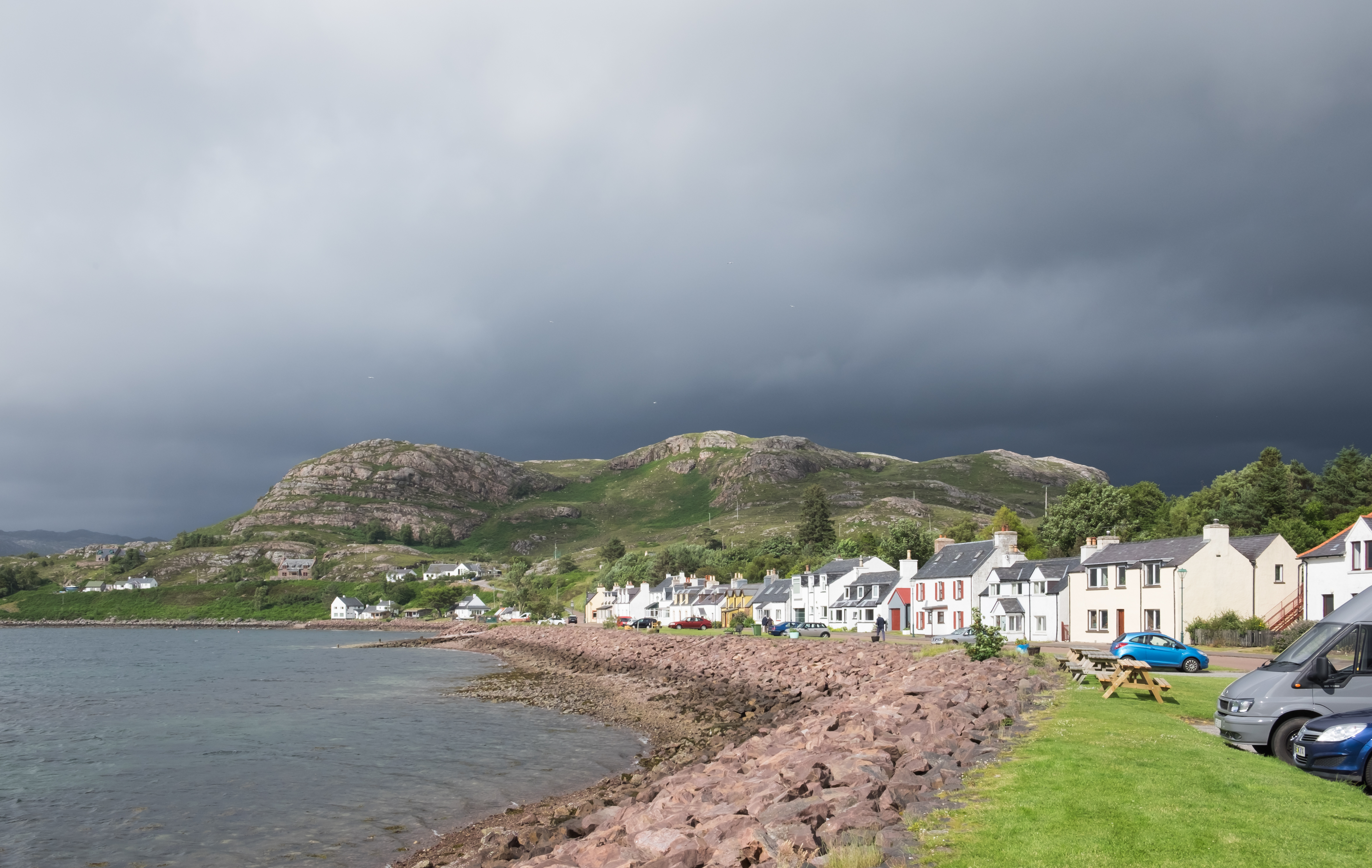
Shieldaig
Shieldaig (Scottish Gaelic: Sìldeag; Old Norse: síld-vík, lit. 'herring bay') is a village in Wester Ross in the Northwest Highlands, in the Scottish council...
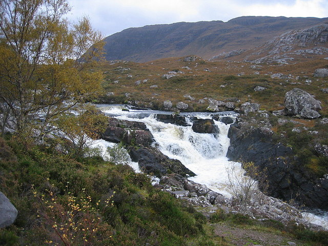
Falls of Balgy
Falls of Balgy is a waterfall near Torridon in Scotland. == See also == Waterfalls of Scotland == References ==

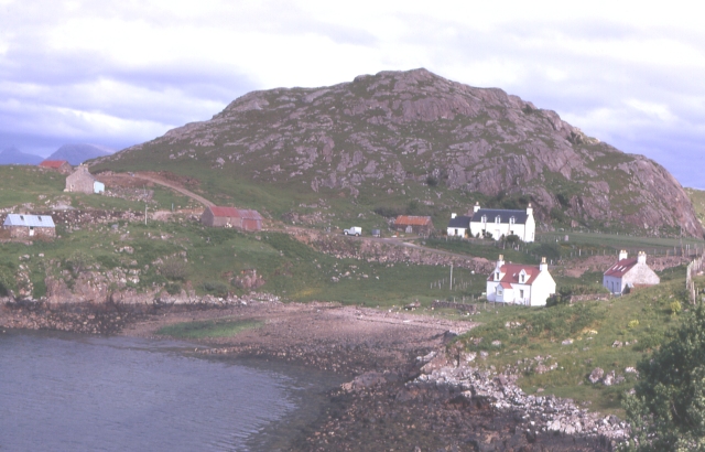
Inveralligin
Inveralligin (Scottish Gaelic: Inbhir Àiliginn) is a remote crofting township which lies on the north shore of Loch Torridon in Wester Ross and is in the...
Ardheslaig
Ardheslaig (Scottish Gaelic: Àird Heisleag) is a crofting settlement at the northern end of the Applecross peninsula in the Scottish Highlands. It is 3...
Nearby Amenities
Located within 500m of 57.529109,-5.628821Have you been to Sròn an Stiallaidh?
Leave your review of Sròn an Stiallaidh below (or comments, questions and feedback).