Cartws
Coastal Feature, Headland, Point in Pembrokeshire
Wales
Cartws
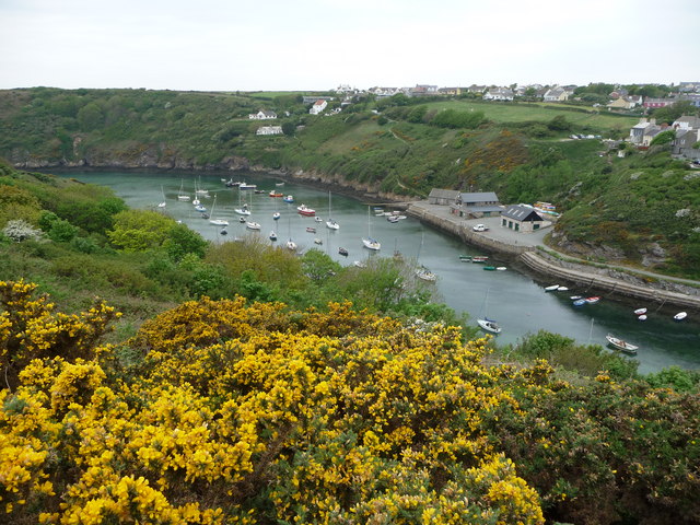
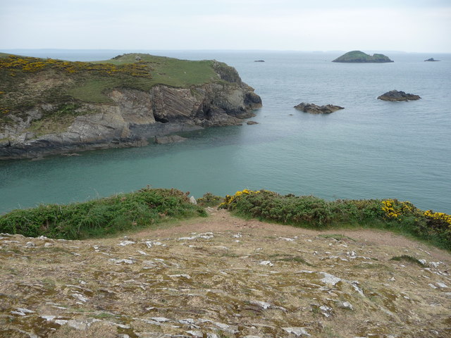
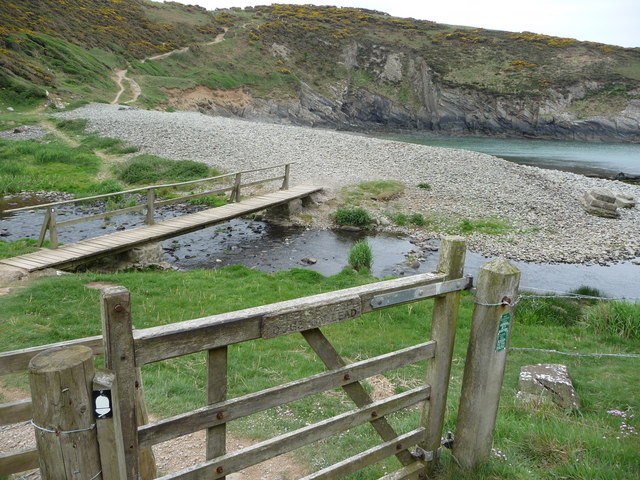
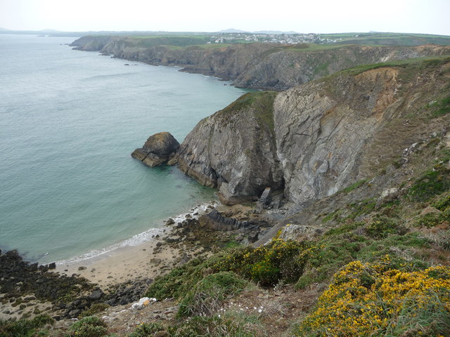
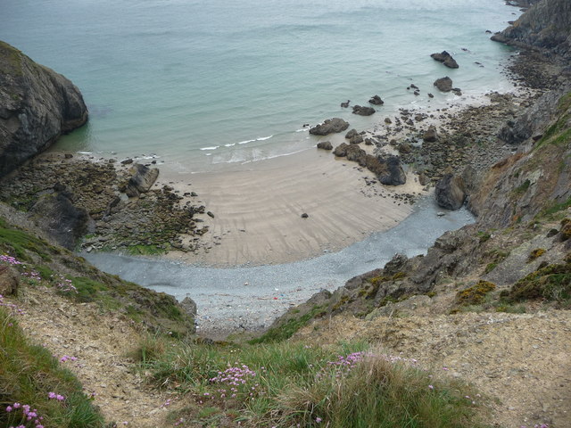
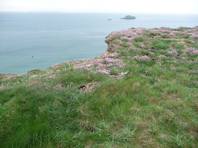
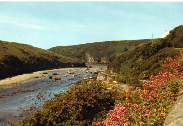
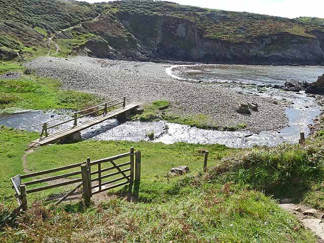
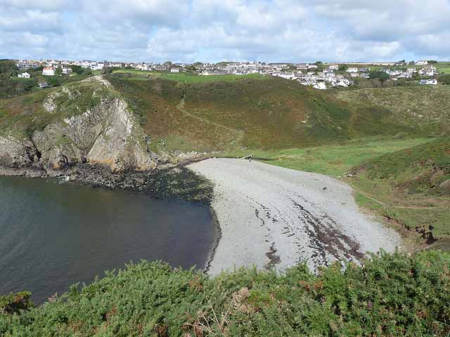
Cartws is a prominent headland located in the county of Pembrokeshire, Wales. Situated on the western coastline, it offers breathtaking views of the Irish Sea and is known for its rugged beauty and diverse wildlife. The headland is characterized by its steep cliffs, rocky outcrops, and grassy slopes, making it a popular destination for hikers, nature enthusiasts, and photographers.
Standing at an elevation of approximately 100 meters, Cartws is easily recognizable by its distinctive shape, resembling a pointed finger jutting out into the sea. The headland is composed of sedimentary rocks, including sandstone and shale, which have been shaped and eroded by the powerful waves and winds of the Atlantic Ocean over thousands of years.
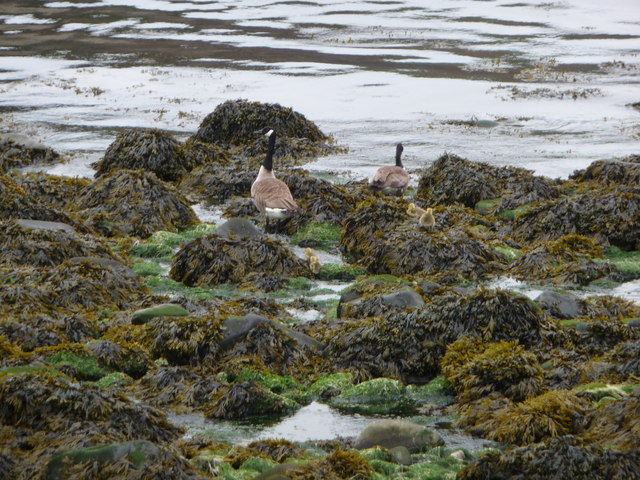
The coastal path that winds around Cartws offers visitors the chance to explore its natural wonders up close. Numerous species of seabirds, such as gannets, puffins, and razorbills, can be spotted nesting on the cliffs during the breeding season. Dolphins and seals are also frequently seen in the surrounding waters, adding to the area's appeal.
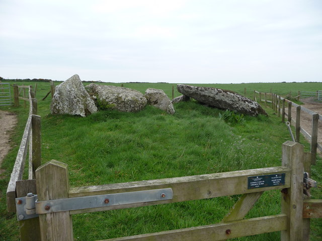
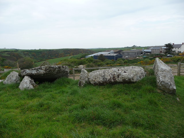
In addition to its natural beauty, Cartws is steeped in history. The headland is home to several archaeological sites, including ancient burial mounds and the remnants of Iron Age settlements. These sites provide valuable insights into the area's past and attract history enthusiasts from around the world.
Overall, Cartws is a captivating coastal feature that showcases the raw power of nature and offers visitors a unique blend of natural beauty and historical significance.
If you have any feedback on the listing, please let us know in the comments section below.
Cartws Images
Images are sourced within 2km of 51.868375/-5.2037482 or Grid Reference SM7923. Thanks to Geograph Open Source API. All images are credited.

Cartws is located at Grid Ref: SM7923 (Lat: 51.868375, Lng: -5.2037482)
Unitary Authority: Pembrokeshire
Police Authority: Dyfed Powys
What 3 Words
///telephone.into.sway. Near St Davids, Pembrokeshire
Nearby Locations
Related Wikis

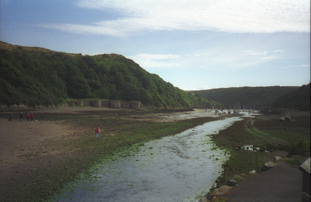
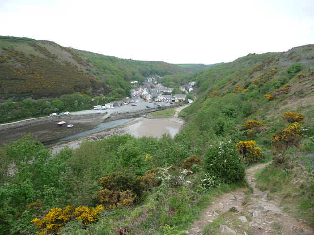
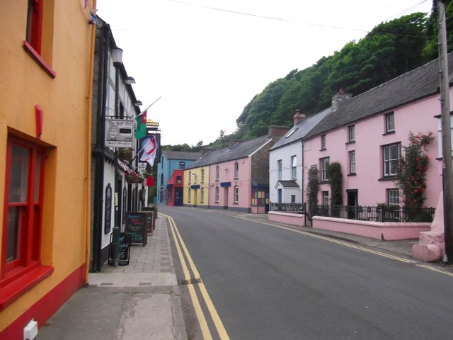
Solva
Solva (Welsh: Solfach) is a village, community and electoral ward in Pembrokeshire, Wales. The village comprises principally Lower Solva and Upper Solva...

Solva limekilns
The Solva limekilns are a row of disused limekilns in the harbour of the village of Solva, Pembrokeshire, Wales. The kilns have a Grade II heritage listing...

Dwrhyd Pit
Dwrhyd Pit is a Site of Special Scientific Interest (or SSSI) in Pembrokeshire, South Wales. It has been designated as a Site of Special Scientific Interest...

River Solva
The River Solva (Welsh: Afon Solfach) is a small river in Pembrokeshire, Wales. Its source is a few hundred metres southeast of Croesgoch and flows ten...
Nearby Amenities
Located within 500m of 51.868375,-5.2037482Have you been to Cartws?
Leave your review of Cartws below (or comments, questions and feedback).