Carn Gwil Geli
Coastal Feature, Headland, Point in Pembrokeshire
Wales
Carn Gwil Geli
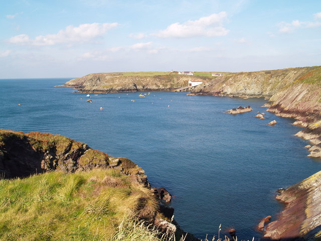
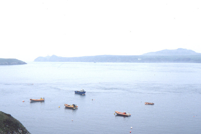
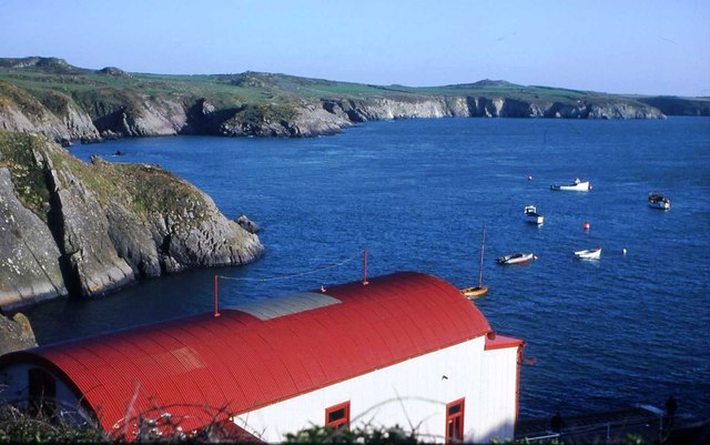
Carn Gwil Geli is a prominent coastal feature located on the rugged coastline of Pembrokeshire, Wales. It is a headland that juts out into the Celtic Sea, forming a distinct point along the coastline. The name "Carn Gwil Geli" translates to "rock of the white grove" in Welsh, reflecting the area's natural beauty and significance.
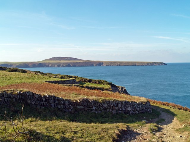
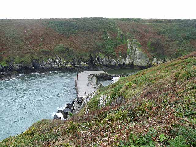
The headland is characterized by its towering cliffs, which rise dramatically from the sea below. These cliffs are composed of sedimentary rocks, displaying layers of different geological formations, providing insights into the region's geological history. The headland offers breathtaking panoramic views of the surrounding coastline and the vast expanse of the ocean.
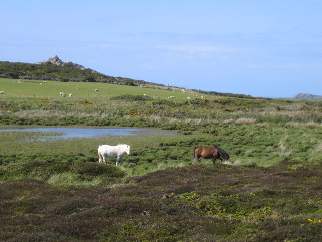
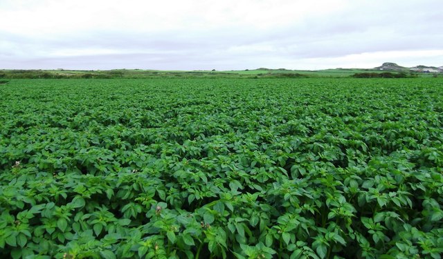
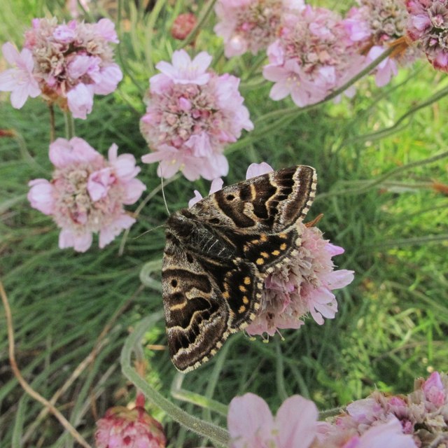
Carn Gwil Geli is also known for its rich biodiversity. The rocky cliffs provide nesting sites for a variety of seabirds, including guillemots, razorbills, and kittiwakes. The area is also home to a diverse range of plant species, including hardy coastal grasses and wildflowers.
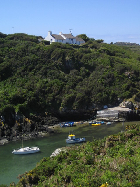
Visitors to Carn Gwil Geli can explore the headland by following well-marked footpaths that wind along the cliff tops. These paths offer opportunities for hiking and birdwatching, allowing visitors to immerse themselves in the natural beauty of the area. Additionally, the headland is a popular spot for fishing and offers some of the best sea angling opportunities in the region.
Overall, Carn Gwil Geli is a stunning coastal feature that showcases the rugged beauty and natural diversity of Pembrokeshire's coastline. It is a must-visit destination for nature lovers, hikers, and those seeking a peaceful retreat by the sea.
If you have any feedback on the listing, please let us know in the comments section below.
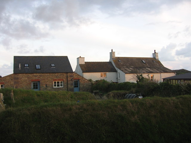
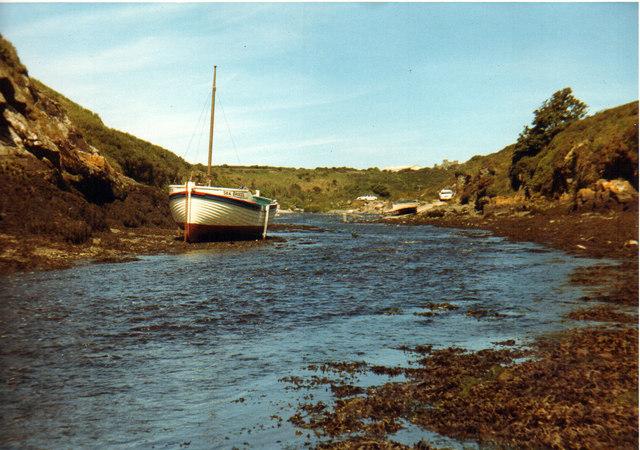
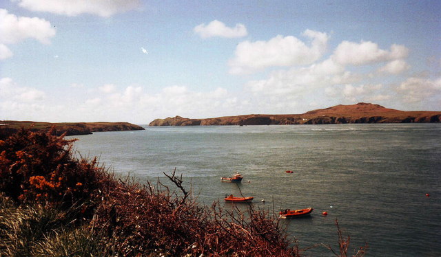
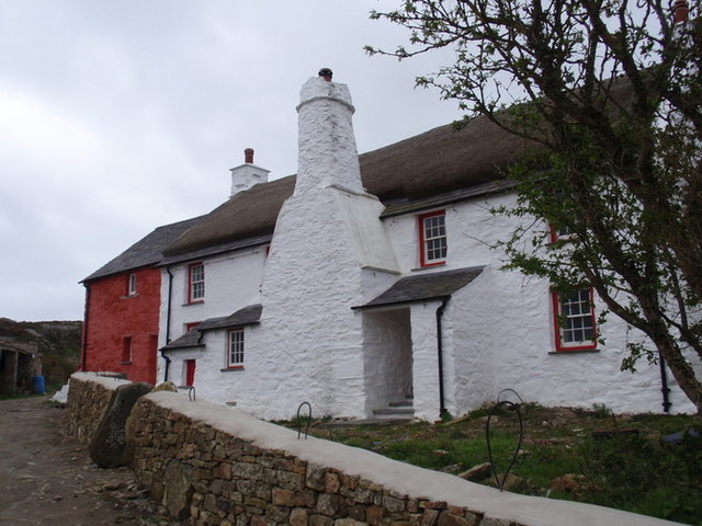
Carn Gwil Geli Images
Images are sourced within 2km of 51.871686/-5.3037769 or Grid Reference SM7224. Thanks to Geograph Open Source API. All images are credited.


Carn Gwil Geli is located at Grid Ref: SM7224 (Lat: 51.871686, Lng: -5.3037769)
Unitary Authority: Pembrokeshire
Police Authority: Dyfed Powys
What 3 Words
///they.delivers.currently. Near St Davids, Pembrokeshire
Nearby Locations
Related Wikis

St Justinian
St Justinian (or St Justinian's or St Justinians; Welsh: Porth Stinan) is a coastal location of indeterminate area in the extreme northwest of Pembrokeshire...
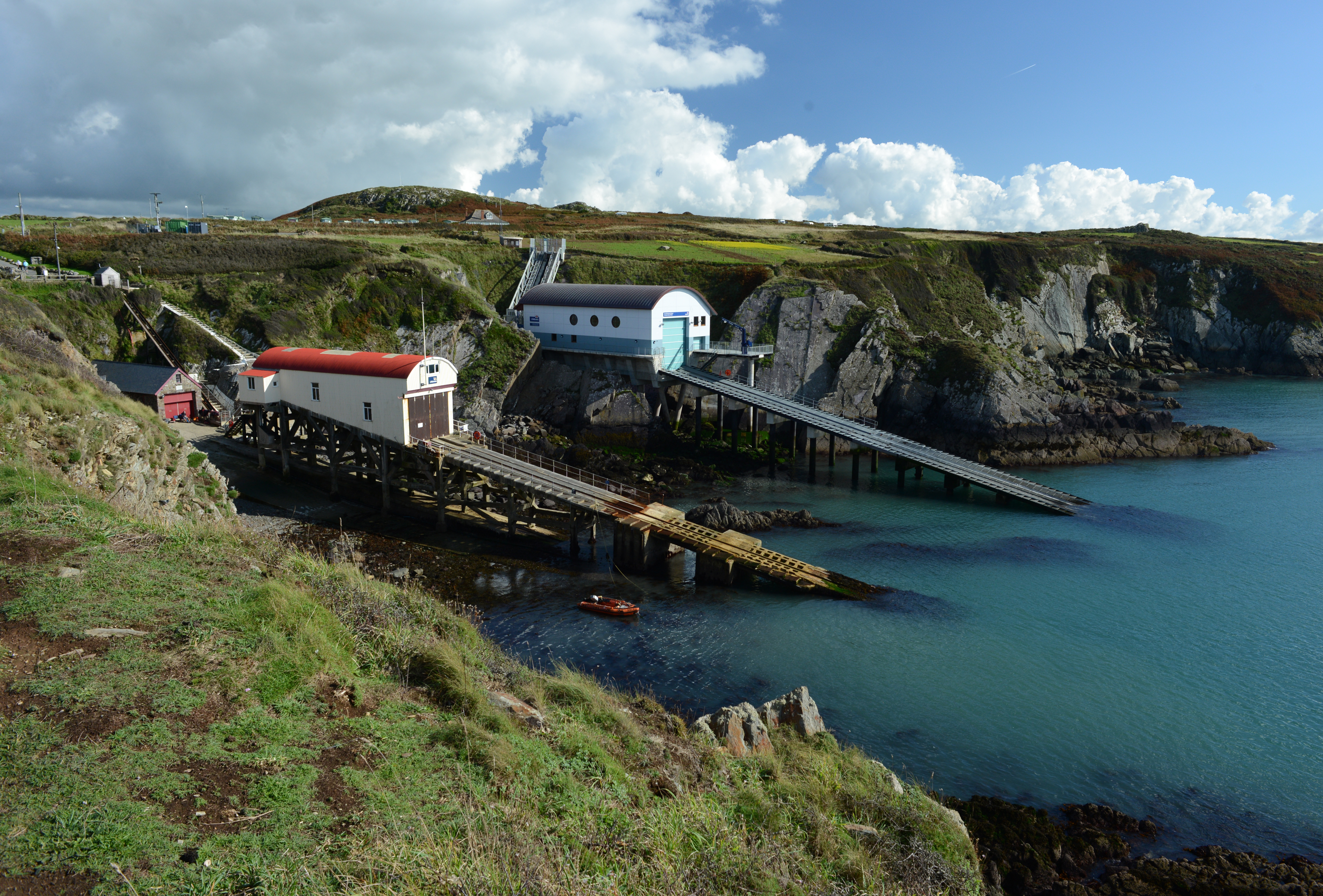
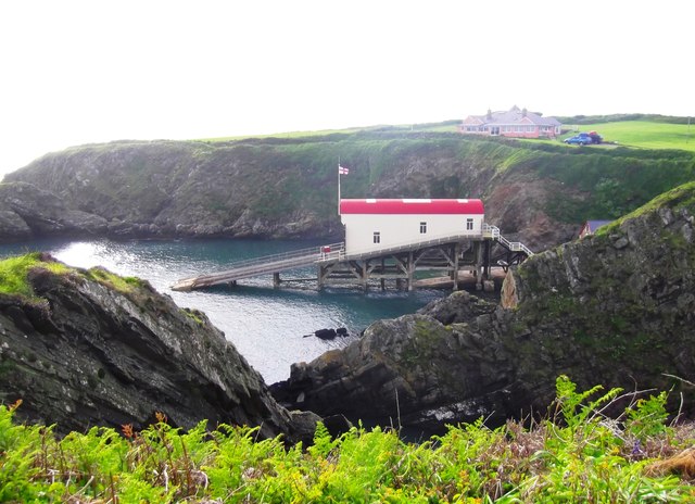
St Davids Lifeboat Station
St Davids Lifeboat Station (based in St Justinian, St Davids, Pembrokeshire, Wales) is a Royal National Lifeboat Institution (RNLI) station. It was opened...

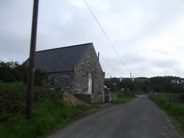
St Justinian's Chapel
St Justinian's Chapel in Pembrokeshire, Wales, is now a roofless shell; the current structure was probably erected in the 16th century on earlier foundations...

Trefeiddan Moor
Trefeiddan Moor is a Site of Special Scientific Interest (or SSSI) in Pembrokeshire, South Wales. It has been designated as a Site of Special Scientific...
Nearby Amenities
Located within 500m of 51.871686,-5.3037769Have you been to Carn Gwil Geli?
Leave your review of Carn Gwil Geli below (or comments, questions and feedback).