Carn Goch
Coastal Feature, Headland, Point in Pembrokeshire
Wales
Carn Goch
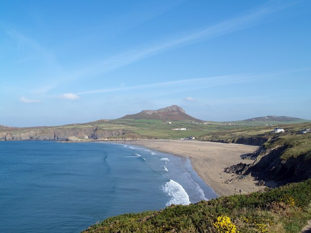
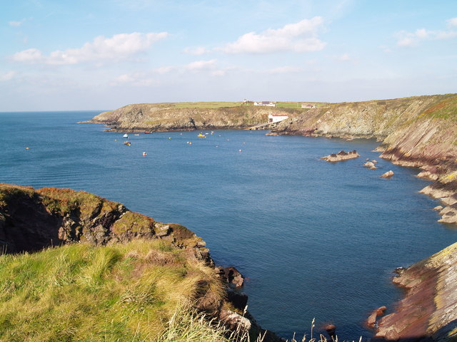
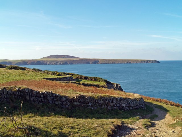
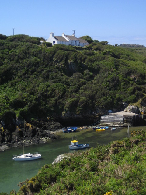
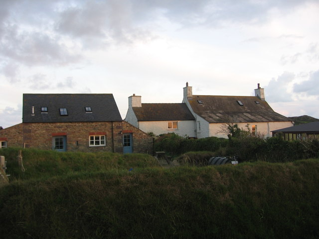
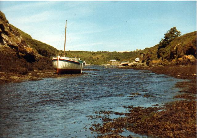
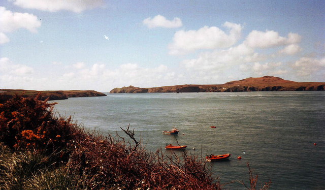
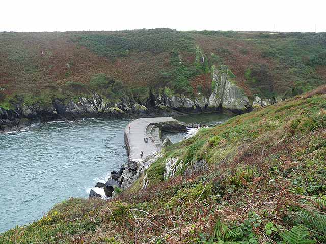
Carn Goch is a prominent headland located in Pembrokeshire, Wales. It is situated on the westernmost tip of the county, overlooking the stunning coastline of the Irish Sea. This coastal feature is known for its rugged beauty and dramatic cliffs that provide breathtaking panoramic views.
The name "Carn Goch" translates to "Red Cairn" in Welsh, a fitting name as the headland is characterized by its reddish cliffs, which are composed of Old Red Sandstone. These cliffs rise steeply from the sea, reaching heights of up to 150 feet in some areas. The vibrant red color of the rocks adds to the allure of Carn Goch and makes it a popular destination for photographers and nature enthusiasts.
At the top of the headland, visitors can find the remains of an ancient Iron Age hillfort. This archaeological site dates back over 2,000 years and provides insight into the lives of the people who once inhabited this area. The fort is surrounded by a series of stone ramparts, offering visitors a glimpse into its defensive structure and strategic positioning.
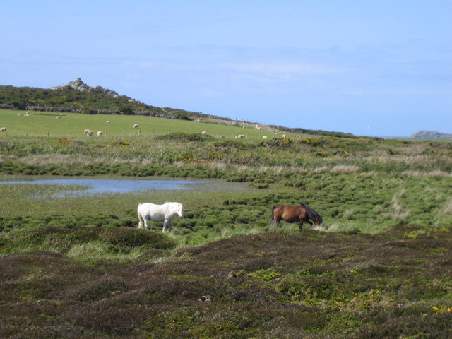
Carn Goch is also home to a diverse range of wildlife, including seabirds such as puffins, razorbills, and guillemots. These birds can often be seen nesting on the cliffs or soaring above the sea, creating a lively and dynamic atmosphere.
Overall, Carn Goch is a captivating coastal feature that combines stunning natural beauty with historical significance. Whether you are interested in exploring ancient ruins, admiring breathtaking landscapes, or observing wildlife, this headland is a must-visit destination in Pembrokeshire.
If you have any feedback on the listing, please let us know in the comments section below.
Carn Goch Images
Images are sourced within 2km of 51.872347/-5.3058452 or Grid Reference SM7224. Thanks to Geograph Open Source API. All images are credited.


Carn Goch is located at Grid Ref: SM7224 (Lat: 51.872347, Lng: -5.3058452)
Unitary Authority: Pembrokeshire
Police Authority: Dyfed Powys
What 3 Words
///remark.middle.epidemics. Near St Davids, Pembrokeshire
Nearby Locations
Related Wikis

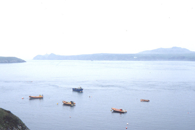
St Justinian
St Justinian (or St Justinian's or St Justinians; Welsh: Porth Stinan) is a coastal location of indeterminate area in the extreme northwest of Pembrokeshire...
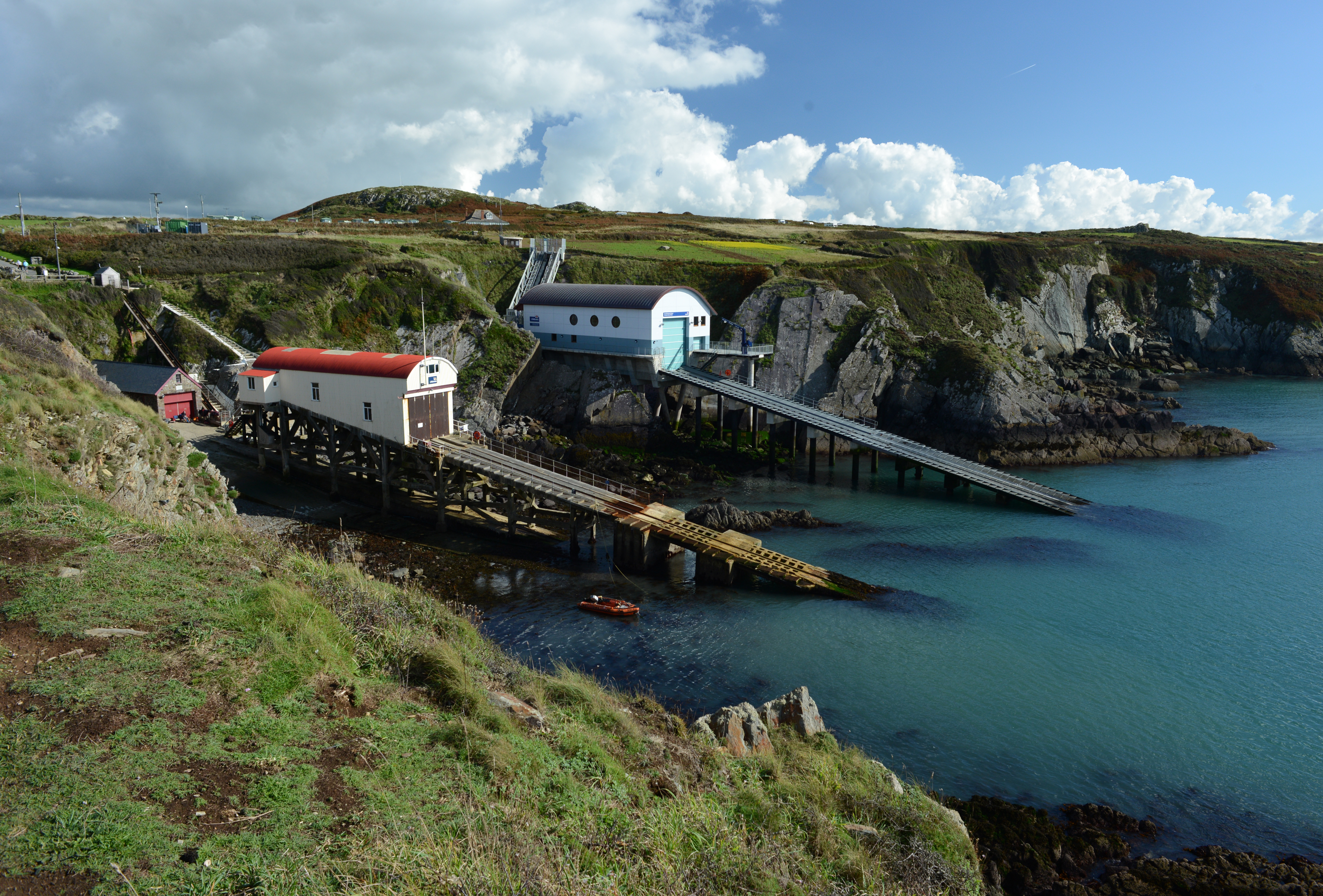
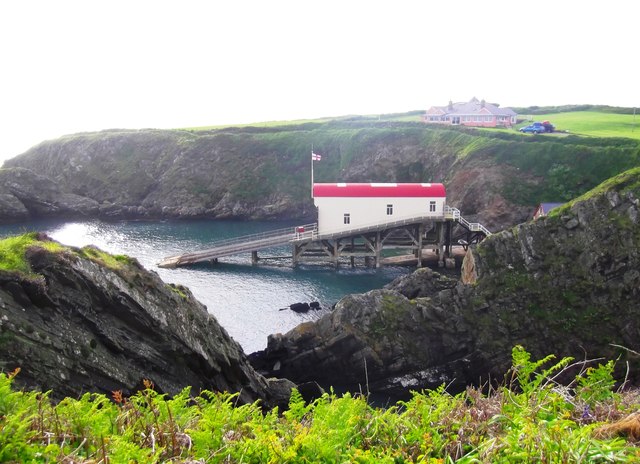
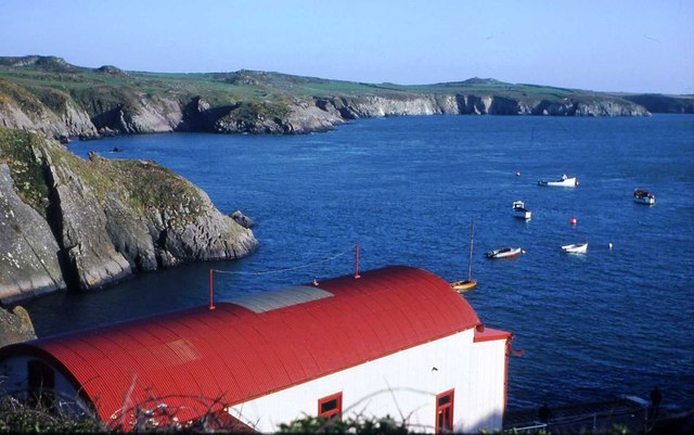
St Davids Lifeboat Station
St Davids Lifeboat Station (based in St Justinian, St Davids, Pembrokeshire, Wales) is a Royal National Lifeboat Institution (RNLI) station. It was opened...

St Justinian's Chapel
St Justinian's Chapel in Pembrokeshire, Wales, is now a roofless shell; the current structure was probably erected in the 16th century on earlier foundations...

Trefeiddan Moor
Trefeiddan Moor is a Site of Special Scientific Interest (or SSSI) in Pembrokeshire, South Wales. It has been designated as a Site of Special Scientific...
Nearby Amenities
Located within 500m of 51.872347,-5.3058452Have you been to Carn Goch?
Leave your review of Carn Goch below (or comments, questions and feedback).