Carraig Dhubh
Coastal Feature, Headland, Point in Argyllshire
Scotland
Carraig Dhubh
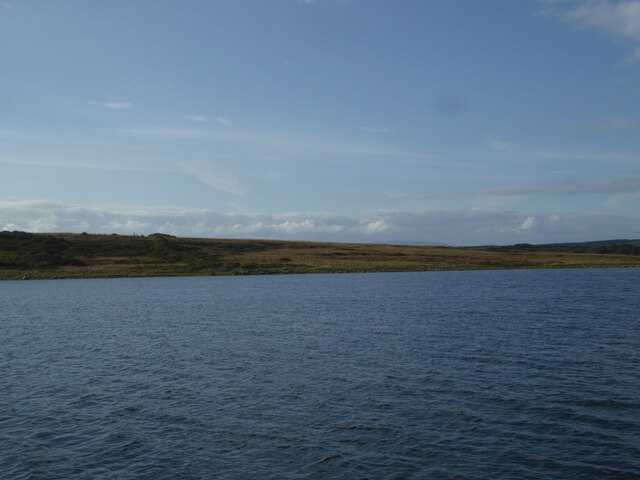
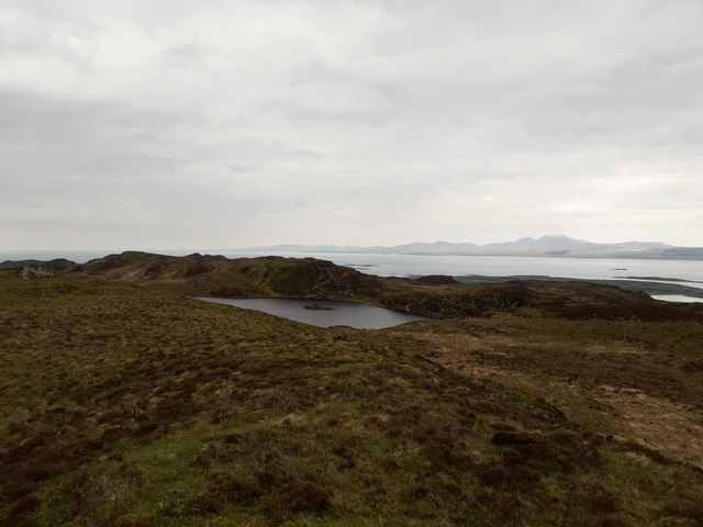
Carraig Dhubh is a prominent headland located in Argyllshire, Scotland. Situated on the west coast of the country, this coastal feature offers breathtaking views of the surrounding rugged landscape and the vast expanse of the Atlantic Ocean. The name "Carraig Dhubh" translates to "black rock" in Gaelic, which aptly describes the dark, imposing cliffs that dominate the area.
This headland is characterized by its dramatic and jagged coastline, with steep cliffs rising from the sea below. The rock formations that make up Carraig Dhubh are predominantly composed of ancient volcanic rocks, which have been shaped by centuries of erosion from the relentless Atlantic waves. The result is a striking landscape of towering cliffs, sea caves, and natural arches.
The headland is a haven for wildlife, with numerous seabird colonies nesting on the cliffs. Visitors to Carraig Dhubh may be lucky enough to spot species such as puffins, guillemots, and razorbills. The surrounding waters are also home to a rich variety of marine life, including seals and dolphins.
Carraig Dhubh is a popular destination for outdoor enthusiasts, attracting hikers, photographers, and nature lovers alike. Several walking trails traverse the headland, providing opportunities to explore its rugged beauty up close. The panoramic views from the cliff top are truly awe-inspiring, offering a glimpse of the wild and untamed beauty of the Scottish coastline.
In summary, Carraig Dhubh is a stunning headland located in Argyllshire, Scotland. Its dramatic cliffs, rich wildlife, and breathtaking views make it a must-visit destination for those seeking to experience the raw beauty of Scotland's west coast.
If you have any feedback on the listing, please let us know in the comments section below.
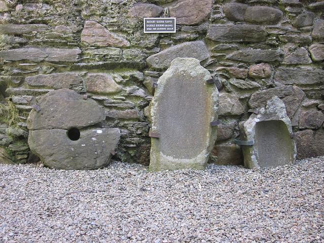
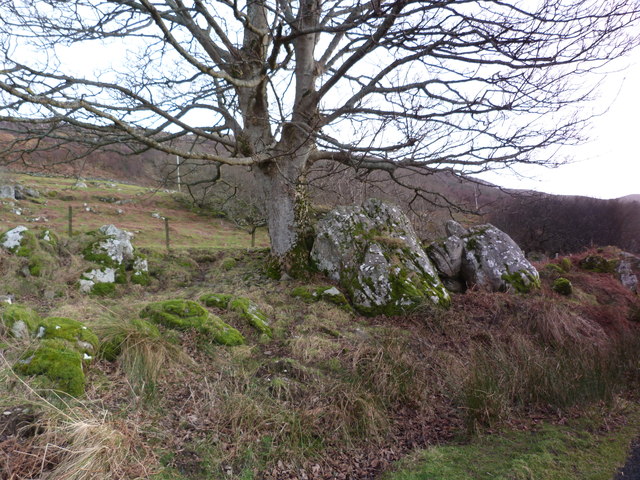
Carraig Dhubh Images
Images are sourced within 2km of 55.959682/-5.6493551 or Grid Reference NR7280. Thanks to Geograph Open Source API. All images are credited.


Carraig Dhubh is located at Grid Ref: NR7280 (Lat: 55.959682, Lng: -5.6493551)
Unitary Authority: Argyll and Bute
Police Authority: Argyll and West Dunbartonshire
What 3 Words
///desiring.ranted.brand. Near Ardrishaig, Argyll & Bute
Nearby Locations
Related Wikis

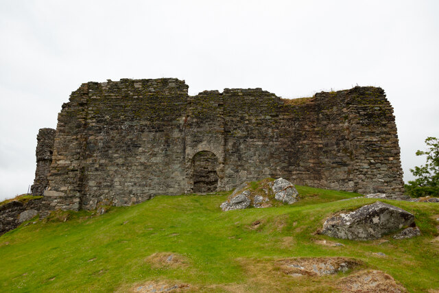
Loch Sween
Loch Sween (Scottish Gaelic: Loch Suain or Loch Suibhne) is a sea loch located near Lochgilphead, Argyll and Bute, Scotland. Castle Sween is located on...

Island of Danna
The Island of Danna or Danna (Scottish Gaelic: Danna), is an inhabited tidal island in Argyll and Bute. == Geography == It is connected to the mainland...

Keills Chapel
Keills Chapel is a small chapel located in the west Highlands, Scotland, near the village of Tayvallich, Knapdale.The chapel dates from the 11th century...

Kilmory, Knapdale
Kilmory (Scottish Gaelic: Cill Mhoire) is a hamlet in the civil parish of South Knapdale, on Knapdale, Argyll and Bute, Scotland. It is situated near the...
Nearby Amenities
Located within 500m of 55.959682,-5.6493551Have you been to Carraig Dhubh?
Leave your review of Carraig Dhubh below (or comments, questions and feedback).