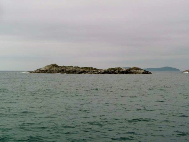
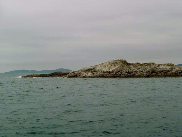
Sgeir Mhogalach
Coastal Feature, Headland, Point in Argyllshire
Scotland
Sgeir Mhogalach
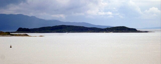
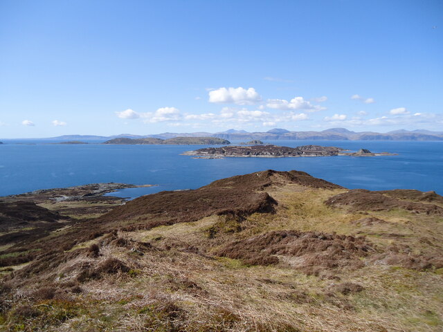
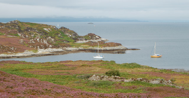
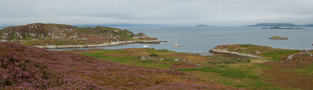
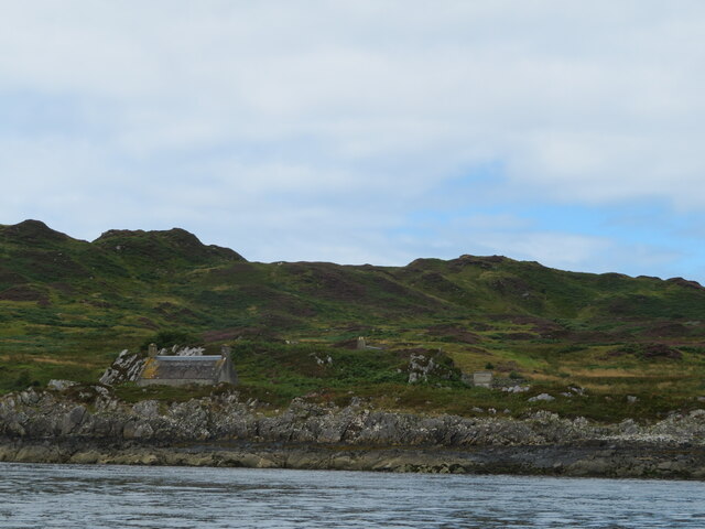
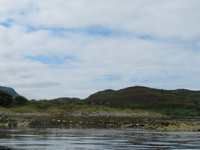
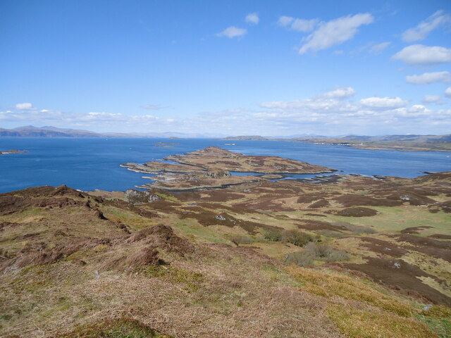
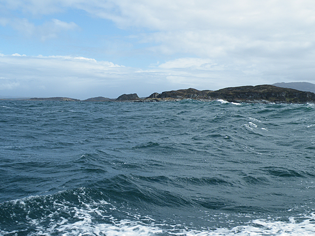
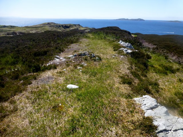
Sgeir Mhogalach is a prominent coastal feature located in Argyllshire, Scotland. It is a headland or point that juts out into the surrounding sea, offering spectacular views of the surrounding landscape.
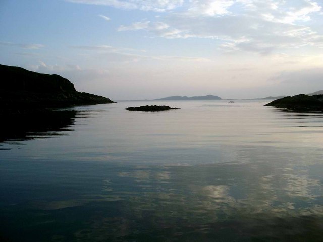
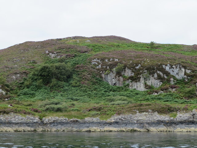
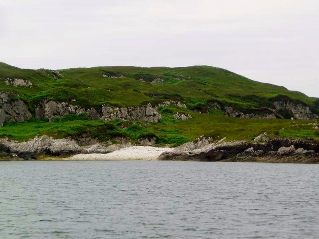
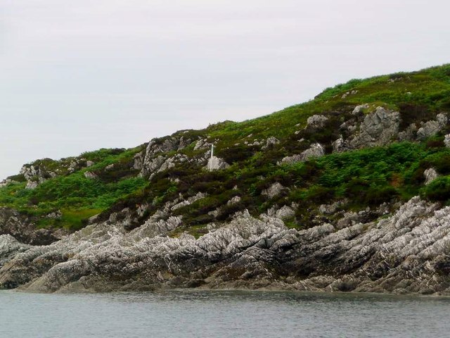
Situated on the western coast of Scotland, Sgeir Mhogalach is known for its rugged and picturesque beauty. The headland is characterized by steep cliffs that rise dramatically from the sea, creating a striking visual contrast against the deep blue waters. The cliffs are composed of ancient rock formations, adding to the area's geological significance.
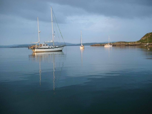
The headland serves as a vital habitat for various marine and bird species. Seabirds such as gannets, puffins, and razorbills can often be spotted nesting on the cliffs, while seals and dolphins can be seen swimming in the surrounding waters. The area is also home to a diverse range of plant life, including hardy coastal grasses and wildflowers.
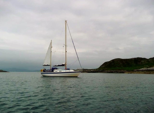
Visitors to Sgeir Mhogalach can enjoy a range of outdoor activities. The headland offers excellent opportunities for hiking and exploring, with several paths and trails that wind along the rugged coastline. The views from the top of the cliffs are particularly breathtaking, providing a panoramic vista of the surrounding sea and distant islands.
Overall, Sgeir Mhogalach is a captivating coastal feature in Argyllshire that showcases the raw beauty of Scotland's western coast. With its stunning cliffs, diverse wildlife, and scenic views, it is a must-visit destination for nature enthusiasts and outdoor adventurers alike.
If you have any feedback on the listing, please let us know in the comments section below.
Sgeir Mhogalach Images
Images are sourced within 2km of 56.230651/-5.7114286 or Grid Reference NM7010. Thanks to Geograph Open Source API. All images are credited.

Sgeir Mhogalach is located at Grid Ref: NM7010 (Lat: 56.230651, Lng: -5.7114286)
Unitary Authority: Argyll and Bute
Police Authority: Argyll and West Dunbartonshire
What 3 Words
///polite.paints.pocketed. Near Lochbuie, Argyll & Bute
Nearby Locations
Related Wikis

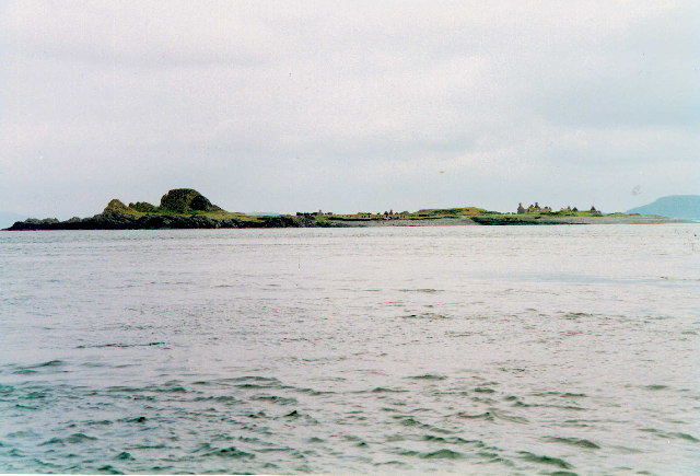
Eilean Dubh Mòr
Eilean Dubh Mòr (Scottish Gaelic: big black island) is an uninhabited island in the Inner Hebrides of Scotland. It lies at the mouth of the Firth of Lorn...

Lunga, Firth of Lorn
Lunga is one of the Slate Islands in the Firth of Lorn in Argyll and Bute, Scotland. The "Grey Dog" tidal race, which runs in the sea channel to the south...

Scarba, Lunga and the Garvellachs National Scenic Area
Scarba, Lunga and the Garvellachs is the name of one of the 40 national scenic areas of Scotland. The designated area covers the islands of Scarba, Lunga...
Belnahua
Belnahua is one of the Slate Islands, in the Firth of Lorn in Scotland, known for its deserted slate quarries. The bedrock that underpins its human history...
Have you been to Sgeir Mhogalach?
Leave your review of Sgeir Mhogalach below (or comments, questions and feedback).