Cribog
Coastal Feature, Headland, Point in Pembrokeshire
Wales
Cribog

The requested URL returned error: 429 Too Many Requests
If you have any feedback on the listing, please let us know in the comments section below.
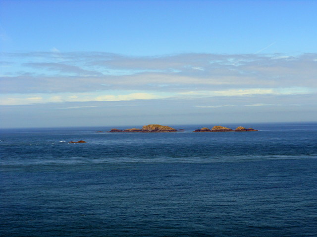
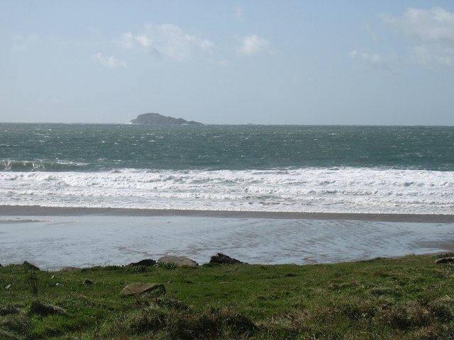
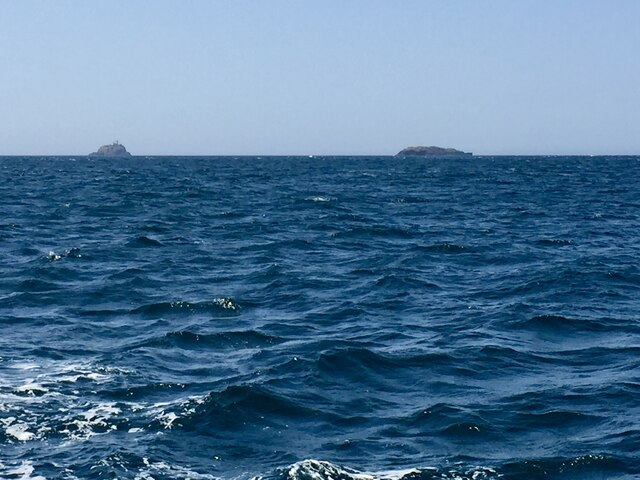
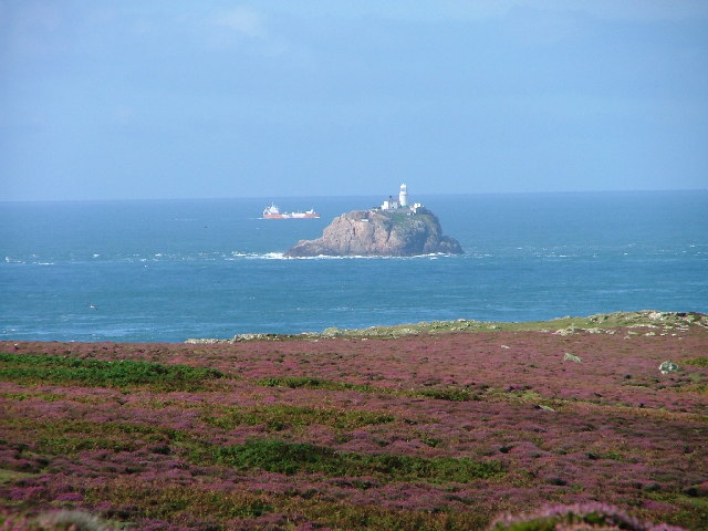
Cribog Images
Images are sourced within 2km of 51.863284/-5.3912572 or Grid Reference SM6623. Thanks to Geograph Open Source API. All images are credited.


Cribog is located at Grid Ref: SM6623 (Lat: 51.863284, Lng: -5.3912572)
Unitary Authority: Pembrokeshire
Police Authority: Dyfed Powys
What 3 Words
///enfolded.cheapening.recount. Near St Davids, Pembrokeshire
Nearby Locations
Related Wikis

Bishops and Clerks
The Bishops and Clerks are a group of rocks and islets, approximately 1+1⁄2 miles (2.4 km) west of Ramsey Island, Pembrokeshire, Wales. == Origins... ==
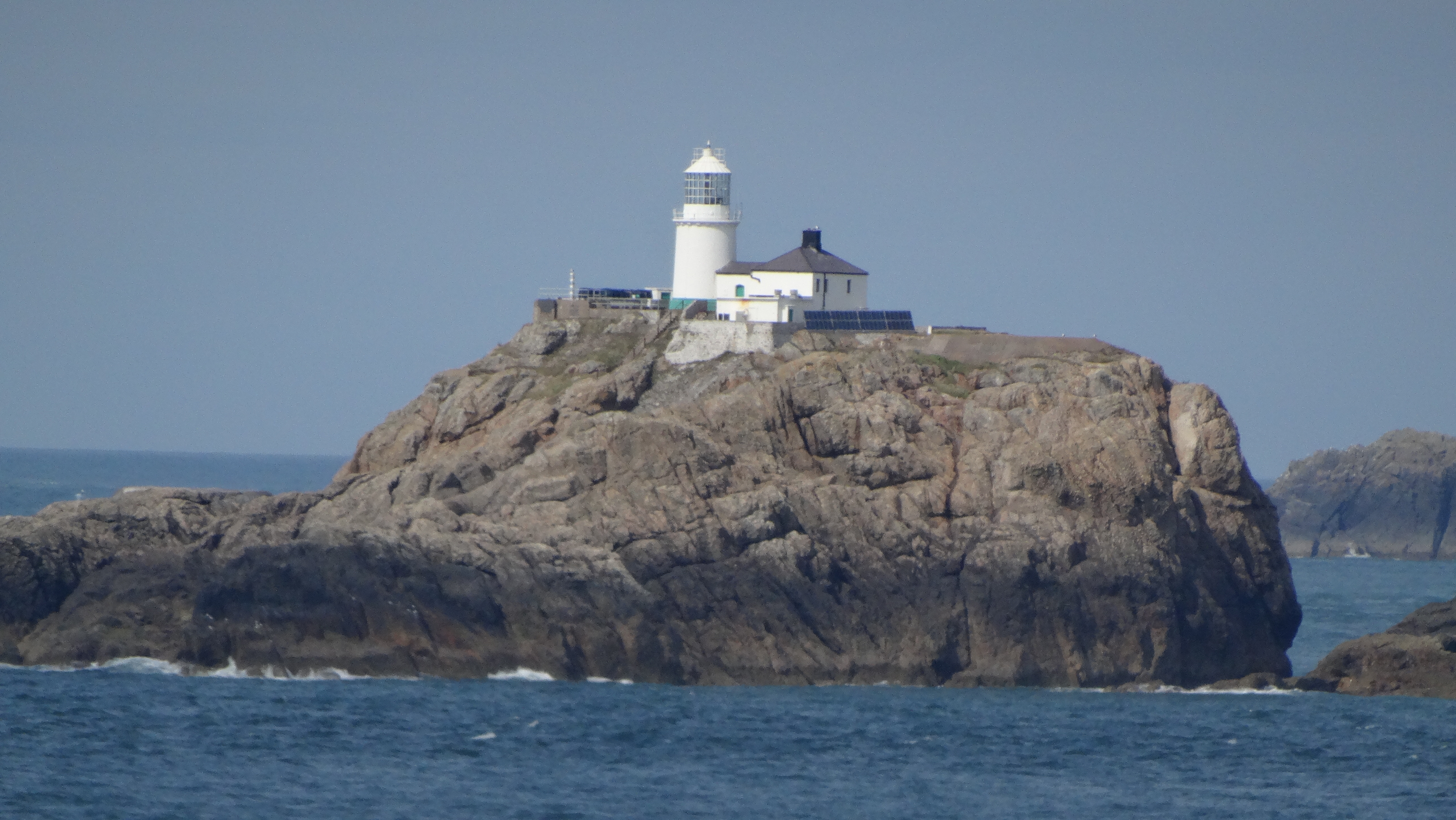
South Bishop Lighthouse
The South Bishop Lighthouse is a lighthouse on South Bishop Island (also known as Emsger), a small rock approximately 5 miles (8 km) west of St Davids...

Emsger
Emsger or South Bishop is an islet situated west of Ramsey Island, Pembrokeshire, Wales. It is the largest of the Bishops and Clerks group of islets and...

Carnllundain
Carnllundain or Carn Llundain is the highest elevation of Ramsey Island in Pembrokeshire, Wales. == Geography == The 136-metre (446 ft) high hill stands...
Have you been to Cribog?
Leave your review of Cribog below (or comments, questions and feedback).