The Var

Coastal Feature, Headland, Point in Cornwall

England

The Var

Mullion Cove in Cornwall Looking south-west.

The image has been scanned from a Kodak Gold 100 negative dating from August 1990.
Mullion Cove in Cornwall Credit: Roger D Kidd

The requested URL returned error: 429 Too Many Requests

If you have any feedback on the listing, please let us know in the comments section below.
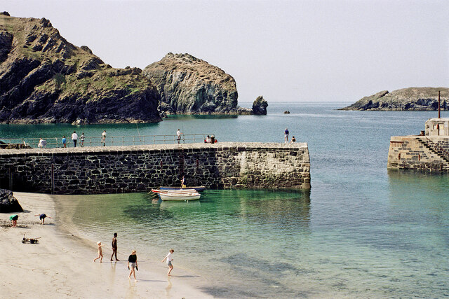
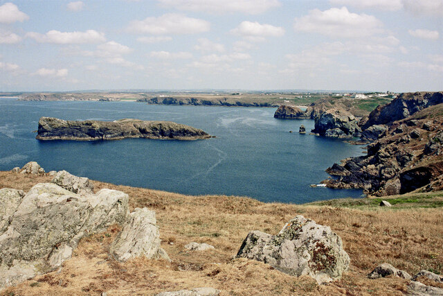
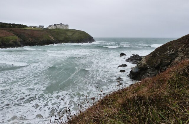
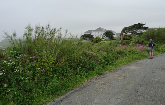
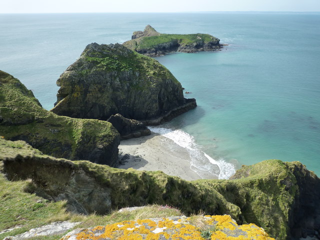
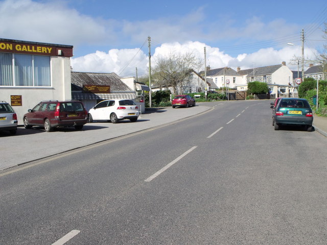
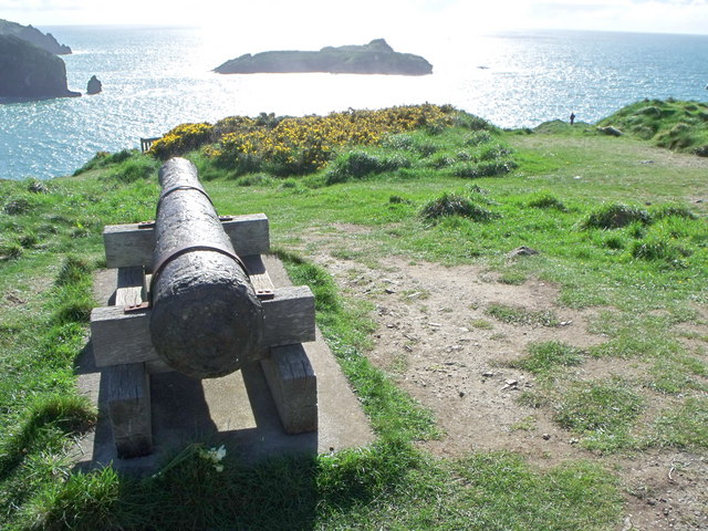
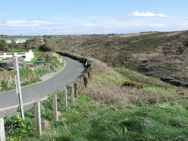
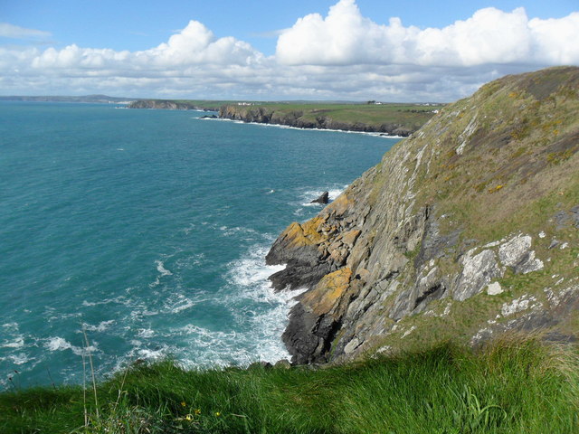
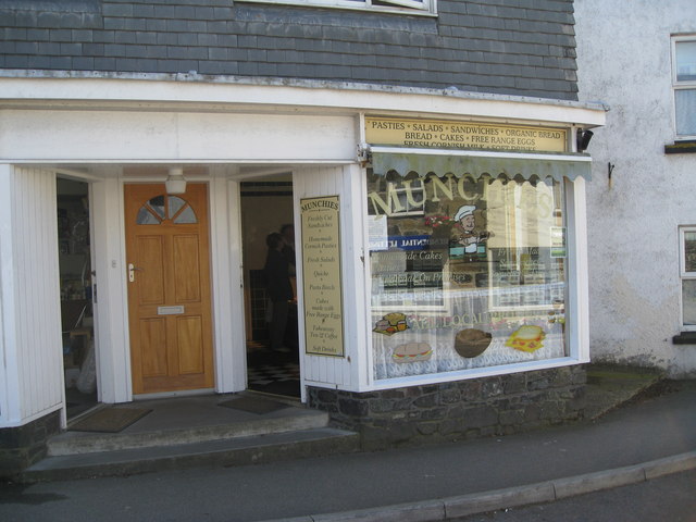
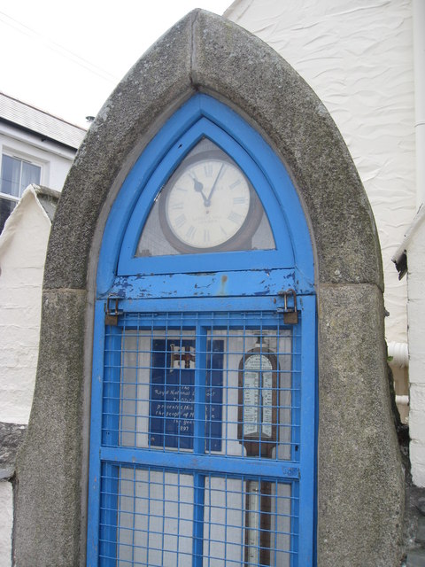
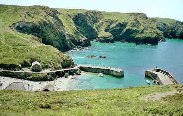
The Var Images

Images are sourced within 2km of 50.015075/-5.2597699 or Grid Reference SW6617. Thanks to Geograph Open Source API. All images are credited.

Mullion Cove in Cornwall Looking south-west.

The image has been scanned from a Kodak Gold 100 negative dating from August 1990.
Mullion Cove in Cornwall
Looking south-west. The image has been scanned from a Kodak Gold 100 negative dating from August 1990.
Coastline by Mullion Island in Cornwall This view is looking north from the South West Coast Path above Higher Predannack Cliff.

The image has been scanned from a Kodak Gold 100 negative dating from August 1990.
Coastline by Mullion Island in Cornwall
This view is looking north from the South West Coast Path above Higher Predannack Cliff. The image has been scanned from a Kodak Gold 100 negative dating from August 1990.
Heavy sea at Poldhu Cove, near Mullion, Cornwall The building on the cliff top is a care home (Hope I'll be able to afford to go there when the time comes).
Heavy sea at Poldhu Cove, near Mullion, Cornwall
The building on the cliff top is a care home (Hope I'll be able to afford to go there when the time comes).
Church now YMCA
Church now YMCA
Mullion Methodist Church
St Melaine's Church
St Melaine's Church
Former Wesleyan Chapel
The South West Coast Path above Polurrian Cove The South West Coast Path National Trail - 630 miles of superb coastal walking. From Minehead on the edge of the Exmoor National Park to the shores of Poole Harbour in Dorset. It is the longest of all Britain's National Trails.
Website: <span class="nowrap"><a title="http://www.southwestcoastpath.com/" rel="nofollow ugc noopener" href="http://www.southwestcoastpath.com/">Link</a><img style="margin-left:2px;" alt="External link" title="External link - shift click to open in new window" src="https://s1.geograph.org.uk/img/external.png" width="10" height="10"/></span>
The South West Coast Path above Polurrian Cove
The South West Coast Path National Trail - 630 miles of superb coastal walking. From Minehead on the edge of the Exmoor National Park to the shores of Poole Harbour in Dorset. It is the longest of all Britain's National Trails. Website: LinkExternal link
The Polurrian Hotel seen from The South West Coast Path above Polurrian Cove The South West Coast Path National Trail - 630 miles of superb coastal walking. From Minehead on the edge of the Exmoor National Park to the shores of Poole Harbour in Dorset. It is the longest of all Britain's National Trails.
Website: <span class="nowrap"><a title="http://www.southwestcoastpath.com/" rel="nofollow ugc noopener" href="http://www.southwestcoastpath.com/">Link</a><img style="margin-left:2px;" alt="External link" title="External link - shift click to open in new window" src="https://s1.geograph.org.uk/img/external.png" width="10" height="10"/></span>
The Polurrian Hotel seen from The South West Coast Path above Polurrian Cove
The South West Coast Path National Trail - 630 miles of superb coastal walking. From Minehead on the edge of the Exmoor National Park to the shores of Poole Harbour in Dorset. It is the longest of all Britain's National Trails. Website: LinkExternal link
Mullion Island seen from South West Coast Path near The Mullion Cove Hotel The South West Coast Path National Trail - 630 miles of superb coastal walking. From Minehead on the edge of the Exmoor National Park to the shores of Poole Harbour in Dorset. It is the longest of all Britain's National Trails.
Website: <span class="nowrap"><a title="http://www.southwestcoastpath.com/" rel="nofollow ugc noopener" href="http://www.southwestcoastpath.com/">Link</a><img style="margin-left:2px;" alt="External link" title="External link - shift click to open in new window" src="https://s1.geograph.org.uk/img/external.png" width="10" height="10"/></span>
Mullion Island seen from South West Coast Path near The Mullion Cove Hotel
The South West Coast Path National Trail - 630 miles of superb coastal walking. From Minehead on the edge of the Exmoor National Park to the shores of Poole Harbour in Dorset. It is the longest of all Britain's National Trails. Website: LinkExternal link
Coastline and islands at Mullion Cliff
Nansmellyon Road, Mullion
Cannon above Mullion Cove
Minor road above Mullion Cove
Cliffs north of Mullion Cove
Street furniture and signs in Mullion Village An unusual street scene taken from within Janet's pasty shop (called 'Munchies'). The clutter of street furniture and signs on this street corner is all too obvious and it is clear that the street is very narrow for cars and pedestrians alike. It is a view which is rather characteristic of such Cornish villages.

The photo includes the view of a traditional and very tasty pasty being hand-made by the owner. <a href="https://www.geograph.org.uk/photo/2423885">SW6719 : Traditional Cornish Pasty Shop</a>

The area from the Lizard around to Newlyn is where you can find some really excellent, high quality and tasty traditional pasties and all freshly made on the premises.<a href="https://www.geograph.org.uk/photo/2174447">SW4629 : The Coombe - Aunty May's Pasty Shop</a> <a href="https://www.geograph.org.uk/photo/2423854">SW7012 : Ann's Pasties - a view inside the kitchen/shop</a>
Street furniture and signs in Mullion Village
An unusual street scene taken from within Janet's pasty shop (called 'Munchies'). The clutter of street furniture and signs on this street corner is all too obvious and it is clear that the street is very narrow for cars and pedestrians alike. It is a view which is rather characteristic of such Cornish villages. The photo includes the view of a traditional and very tasty pasty being hand-made by the owner. SW6719 : Traditional Cornish Pasty Shop The area from the Lizard around to Newlyn is where you can find some really excellent, high quality and tasty traditional pasties and all freshly made on the premises.SW4629 : The Coombe - Aunty May's Pasty Shop SW7012 : Ann's Pasties - a view inside the kitchen/shop
Traditional Cornish Pasty Shop The area abounds with small shops and other outlets producing traditional Cornish pasties.  

This building is rather modern by comparison to the other buildings in and around the church in the middle of Mullion village. Janet the owner certainly produces excellent pasties and well worth a visit and a chat.

<a href="https://www.geograph.org.uk/photo/2423854">SW7012 : Ann's Pasties - a view inside the kitchen/shop</a>
Traditional Cornish Pasty Shop
The area abounds with small shops and other outlets producing traditional Cornish pasties. This building is rather modern by comparison to the other buildings in and around the church in the middle of Mullion village. Janet the owner certainly produces excellent pasties and well worth a visit and a chat. SW7012 : Ann's Pasties - a view inside the kitchen/shop
Clock and barometer - 1897  Jubilee presentation Detail of the RNLI presentation to the "People of Mullion" in the year of Queen Victoria's Diamond Jubilee 1897. Many towns and village had various street features presented to mark this significant event. <a href="https://www.geograph.org.uk/photo/2242785">SW6719 : Clock and weather station in Mullion Churchtown</a>

The mercury barometer on the right below the clock would give an indication of weather trends at a time when weather forecasts were limited in availablity.
Clock and barometer - 1897 Jubilee presentation
Detail of the RNLI presentation to the "People of Mullion" in the year of Queen Victoria's Diamond Jubilee 1897. Many towns and village had various street features presented to mark this significant event. SW6719 : Clock and weather station in Mullion Churchtown The mercury barometer on the right below the clock would give an indication of weather trends at a time when weather forecasts were limited in availablity.
Show me another place!

The Var is located at Grid Ref: SW6617 (Lat: 50.015075, Lng: -5.2597699)

Unitary Authority: Cornwall

Police Authority: Devon and Cornwall

What 3 Words

///quitter.rate.educated. Near Mullion, Cornwall

Related Wikis

Mullion Cove

Mullion Cove, or Porth Mellin, is a small community on the West Coast of the Lizard Peninsula in Cornwall, England, and on the eastern side of Mount's...

Mullion Island

Mullion Island (Cornish: Enys Pryven, meaning worm island) is an uninhabited island on the eastern side of Mount's Bay, Cornwall, in the United Kingdom...

Mullion F.C.

Mullion Football Club is a football club based in Mullion, Cornwall. They are currently members of the South West Peninsula League Premier Division West...

Mullion, Cornwall

Mullion (Cornish: Eglosvelyan) is a civil parish and village on the Lizard Peninsula in south Cornwall, England, United Kingdom. The nearest town is Helston...

Nearby Amenities

Located within 500m of 50.015075,-5.2597699
Source: PGS
Lat/Long: 50.0167153/-5.2602592
Source: PGS
Lat/Long: 50.0156506/-5.2593531
Source: PGS
Lat/Long: 50.015516/-5.2592954
Source: PGS
Lat/Long: 50.0154749/-5.2592541
Source: PGS
Lat/Long: 50.0150979/-5.2591636
Source: PGS
Lat/Long: 50.015432/-5.2590661
Porth Mellin
Is In: Cornwall, England, UK
Is In Country: England
Is In Country Code: GB
Is In County: Cornwall
Place: hamlet
Source: npe
Wikidata: Q11786560
Lat/Long: 50.0152524/-5.2583646
The Potters Wheel
Shop: variety_store
Lat/Long: 50.0156073/-5.2552999
Toilets
Changing Table: yes
Fee: no
Lat/Long: 50.0155852/-5.2554538
Mullion Cove
Name Kw: Porth Mellin
Natural: bay
Source: OS Historic
Lat/Long: 50.0142062/-5.2607146
Bench
Backrest: yes
Lat/Long: 50.0158106/-5.2584823
Bench
Backrest: yes
Lat/Long: 50.0158349/-5.2586776
Bench
Backrest: yes
Lat/Long: 50.016005/-5.2584464
Bench
Backrest: yes
Lat/Long: 50.0162916/-5.2582804
Bench
Backrest: yes
Lat/Long: 50.0164541/-5.2584765
Bench
Backrest: yes
Lat/Long: 50.0164562/-5.258337
Bench
Backrest: yes
Lat/Long: 50.0163602/-5.2583202
Bench
Backrest: no
Lat/Long: 50.0165592/-5.2586133
Bench
Backrest: no
Lat/Long: 50.0164894/-5.2588567
Mullion Cove Hotel
Addr City: Helston
Addr Housename: Mullion Cove
Addr Place: Mullion
Addr Postcode: TR12 7EP
Fhrs Id: 402738
Tourism: hotel
Wheelchair: limited
Lat/Long: 50.0168114/-5.2579653
Cormorant
Building: yes
Lat/Long: 50.0171185/-5.257004
Barrier: stile
Material: stone
Source: survey;gps
Stile: ladder
Lat/Long: 50.0191923/-5.2572564
Bench
Backrest: no
Source: survey;gps
Lat/Long: 50.0188029/-5.2577801
Cafe
Porthmellin Cafe
Addr City: Helston
Addr Country: GB
Addr Hamlet: Mullion
Addr Postcode: TR12 7ES
Addr Street: Mullion Cove
Fhrs Id: 551186
Source Addr: FHRS Open Data
Lat/Long: 50.0154663/-5.2572946
Bicycle Parking
Bicycle Parking: rack
Lat/Long: 50.015373/-5.2573012
Mullion Cove Substation
Power: substation
Voltage: 11000;400
Lat/Long: 50.0164616/-5.2548122
Little Vro
Place: locality
Lat/Long: 50.0121951/-5.2627263
The Vro
Place: locality
Lat/Long: 50.0115027/-5.2634068
Gull Rock
Place: locality
Lat/Long: 50.0124794/-5.2623213
Sandy Vro
Place: locality
Lat/Long: 50.0128953/-5.2617162
Laden Ceyn
Place: locality
Lat/Long: 50.0133166/-5.2612245
Porth Pyg
Place: locality
Lat/Long: 50.0136974/-5.2599868
The Var
Place: locality
Lat/Long: 50.015065/-5.2607671
Scovarn
Place: locality
Lat/Long: 50.0155026/-5.2608665
Henscath
Place: locality
Lat/Long: 50.0164781/-5.2622711
Bench
Backrest: no
Lat/Long: 50.0179075/-5.2582743
Barrier: stile
Material: stone
Source: survey
Stile: steps
Lat/Long: 50.0172194/-5.2576799
Barrier: stile
Material: stone
Source: survey
Stile: steps
Lat/Long: 50.0173543/-5.2566344
Barrier: stile
Material: stone
Source: survey
Stile: steps
Lat/Long: 50.0175418/-5.2555178
Phone
Access: yes
Emergency: phone
Lat/Long: 50.0154771/-5.2581441
Waste Basket
Survey Date: 2023-10-08
Waste: dog_excrement
Lat/Long: 50.0170518/-5.2581899
Waste Basket
Survey Date: 2023-10-08
Waste: dog_excrement
Lat/Long: 50.0166215/-5.2583456
Defibrillator
Defibrillator Location: On outside wall of holiday cottage next to steps heading north
Emergency: defibrillator
Indoor: no
Survey Date: 2023-10-08
Lat/Long: 50.0155614/-5.2576258
Life Ring
Emergency: life_ring
Survey Date: 2023-10-08
Lat/Long: 50.0154472/-5.2581728
Life Ring
Emergency: life_ring
Survey Date: 2023-10-08
Lat/Long: 50.0152685/-5.2575796
Bench
Backrest: yes
Survey Date: 2023-10-08
Lat/Long: 50.0151018/-5.2580314
Life Ring
Emergency: life_ring
Survey Date: 2023-10-08
Lat/Long: 50.0150441/-5.2581274
Fire Hydrant
Emergency: fire_hydrant
Fire Hydrant Position: lane
Fire Hydrant Type: underground
Survey Date: 2023-10-08
Lat/Long: 50.0156756/-5.2554937
Barrier: stile
Lat/Long: 50.0143361/-5.257026
The data included in this document is from www.openstreetmap.org. The data is made available under ODbL.

Have you been to The Var?

Leave your review of The Var below (or comments, questions and feedback).