Scovarn
Island in Cornwall
England
Scovarn
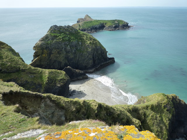
Scovarn is a picturesque island located off the coast of Cornwall, England. With a land area of approximately 10 square kilometers, it is known for its stunning natural beauty and rich history. The island is situated in the Celtic Sea, about 20 kilometers southwest of Land's End.
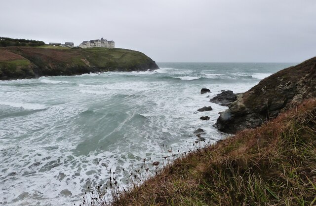
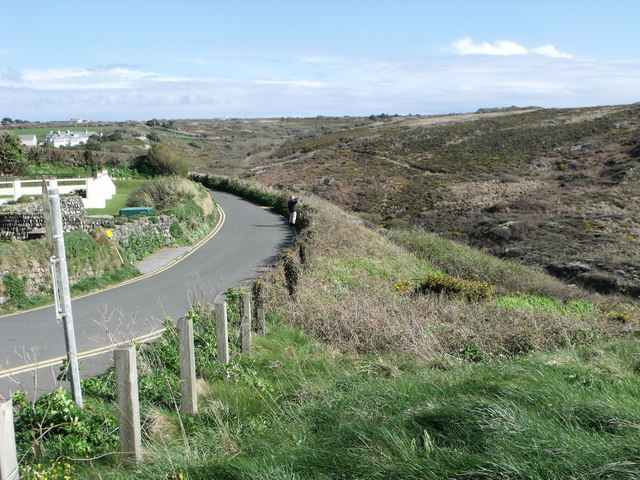
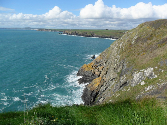
Scovarn boasts a diverse landscape, ranging from rugged cliffs and sandy beaches to rolling hills and fertile farmland. The island is home to a variety of wildlife, including seabirds, seals, and dolphins, making it a popular destination for nature enthusiasts and birdwatchers.
The island has a small population of approximately 500 residents, who mainly rely on fishing and tourism for their livelihoods. Traditional Cornish culture is still evident on Scovarn, with many locals speaking the Cornish language and participating in traditional festivals and events.
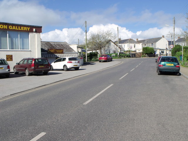
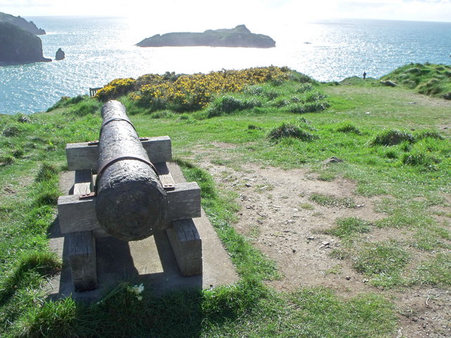
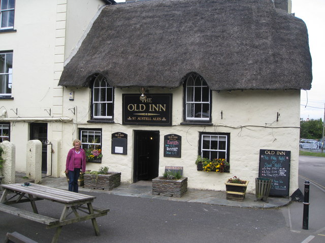
Visitors to Scovarn can explore its charming villages, such as Port Scovarn, which offers a range of accommodation options and local amenities. The island also has several historical sites, including a medieval castle and ancient stone circles, which provide a glimpse into its fascinating past.
Outdoor activities are abundant on Scovarn, with opportunities for hiking, kayaking, and sailing. The island's mild climate makes it an ideal destination for outdoor enthusiasts year-round.
Overall, Scovarn is a hidden gem in Cornwall, offering a tranquil escape from the bustling mainland. Its natural beauty, rich history, and friendly community make it a must-visit destination for those seeking a true Cornish experience.
If you have any feedback on the listing, please let us know in the comments section below.
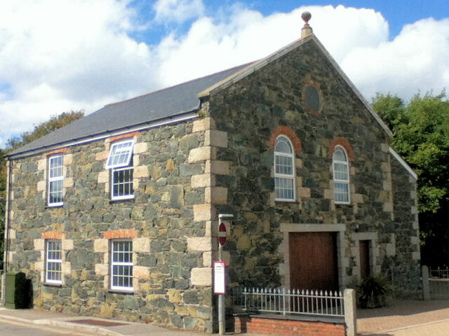
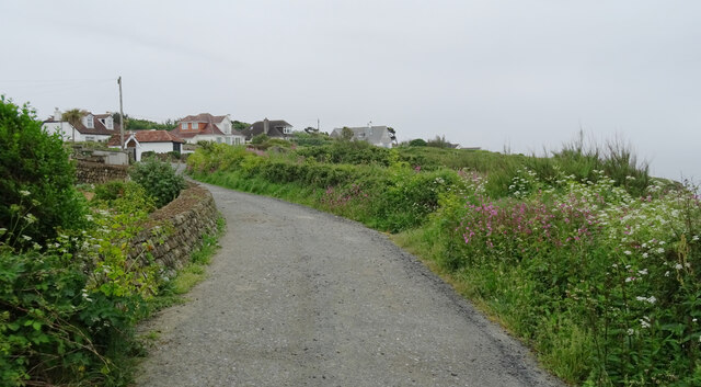
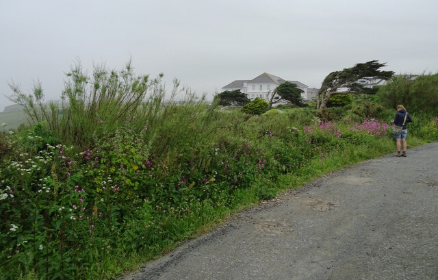
Scovarn Images
Images are sourced within 2km of 50.01554/-5.2598712 or Grid Reference SW6617. Thanks to Geograph Open Source API. All images are credited.

Scovarn is located at Grid Ref: SW6617 (Lat: 50.01554, Lng: -5.2598712)
Unitary Authority: Cornwall
Police Authority: Devon and Cornwall
What 3 Words
///prominent.lipstick.serenade. Near Mullion, Cornwall
Nearby Locations
Related Wikis
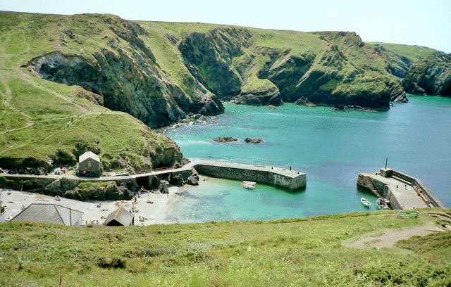
Mullion Cove
Mullion Cove, or Porth Mellin, is a small community on the West Coast of the Lizard Peninsula in Cornwall, England, and on the eastern side of Mount's...

Mullion Island
Mullion Island (Cornish: Enys Pryven, meaning worm island) is an uninhabited island on the eastern side of Mount's Bay, Cornwall, in the United Kingdom...

Mullion F.C.
Mullion Football Club is a football club based in Mullion, Cornwall. They are currently members of the South West Peninsula League Premier Division West...

Mullion, Cornwall
Mullion (Cornish: Eglosvelyan) is a civil parish and village on the Lizard Peninsula in south Cornwall, England, United Kingdom. The nearest town is Helston...
Related Videos

Lizard Point Holiday Park, Cornwall
Looking for an activity-packed destination for your next UK staycation? Well look no further than Lizard Point Holiday Park on ...

BEST Beach Hot Chocolate in Cornwall, our favourite Christmas walk
Perfect Boxing day walk? We share our favourite Christmassy, winter walk with the added bonus of the best hot chocolate in ...

Fantastic Facilities at Lizard Point Holiday Park!
Looking for an activity-packed destination for your next UK staycation? Well look no further than Lizard Point Holiday Park on ...
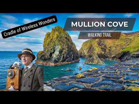
Cornwall Walking Trail - Mullion Cove
This walk starts at Mullion Cove. We follow the dramatic sea cliffs to the Marconi Monument before heading in land back to Mullion ...
Nearby Amenities
Located within 500m of 50.01554,-5.2598712Have you been to Scovarn?
Leave your review of Scovarn below (or comments, questions and feedback).