Creag Chrotha
Coastal Feature, Headland, Point in Argyllshire
Scotland
Creag Chrotha
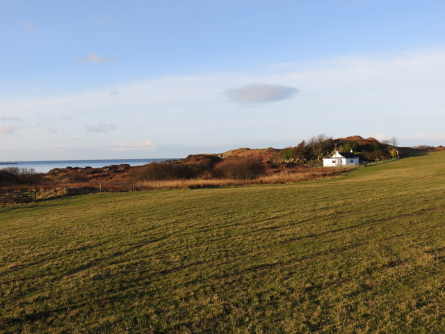
Creag Chrotha is a prominent coastal feature located in Argyllshire, Scotland. It is a headland that juts out into the sea, forming a distinctive point that offers breathtaking views of the surrounding landscape.
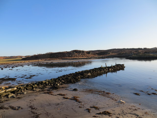
Situated on the western coast of Scotland, Creag Chrotha is characterized by its rugged and rocky terrain. The headland is composed of ancient volcanic rocks, which have been shaped by the relentless forces of erosion over millions of years. This has resulted in the creation of dramatic cliffs and sea stacks, adding to the beauty and grandeur of the area.
The headland is a popular destination for outdoor enthusiasts and nature lovers. The coastal path that winds along the edge of Creag Chrotha offers stunning vistas of the sea and the surrounding coastline. Visitors can also enjoy birdwatching, as the area is home to a variety of seabirds, including gulls, kittiwakes, and fulmars.
Creag Chrotha is also rich in history and folklore. It is believed to have been an important landmark for ancient seafarers, providing a navigational reference point along the treacherous coastline. Local legends speak of hidden caves and treasure buried within the cliffs, adding an air of mystery and intrigue to the area.
Access to Creag Chrotha is relatively easy, with a well-maintained path leading to the headland. However, caution is advised, as the cliffs can be steep and unstable in places. Nonetheless, the awe-inspiring beauty and natural significance of Creag Chrotha make it a must-visit destination for those exploring the stunning coast of Argyllshire.
If you have any feedback on the listing, please let us know in the comments section below.
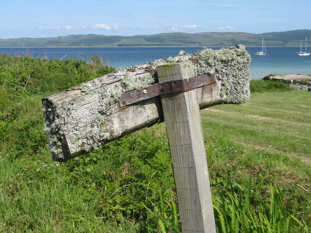
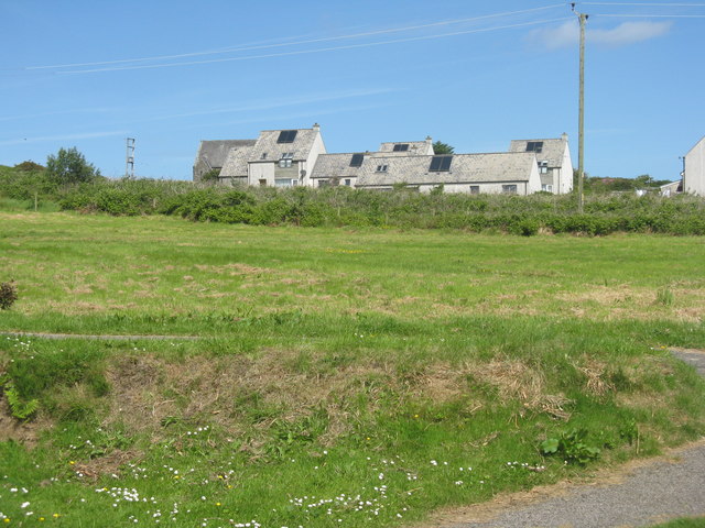
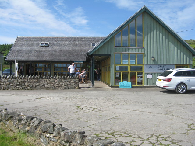
Creag Chrotha Images
Images are sourced within 2km of 55.65897/-5.743653 or Grid Reference NR6446. Thanks to Geograph Open Source API. All images are credited.
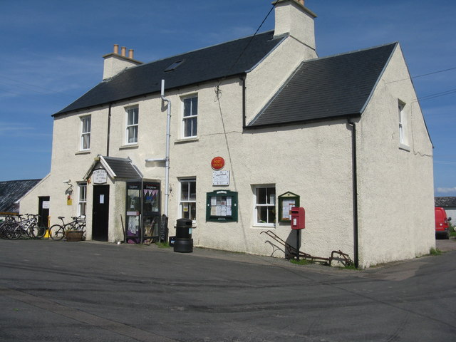
![Refuelling facilities on Gigha With a rather tropical appearance with the Cordyline palms [not really palms, but related to Asparagus] by the pumps, at the Post Office on the island.](https://s2.geograph.org.uk/geophotos/05/41/57/5415774_bef897e6.jpg)
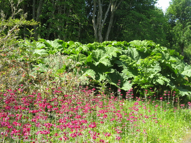
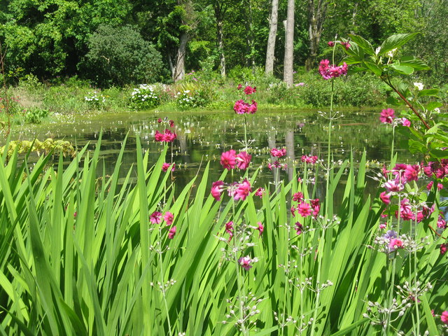
![Pond-edge plants at Achamore Garden Primula [pink] and Libertia [white flowers, of the Iris family], with a carved Otter by the pond.](https://s0.geograph.org.uk/geophotos/05/44/68/5446824_2d8ef6d8.jpg)
Creag Chrotha is located at Grid Ref: NR6446 (Lat: 55.65897, Lng: -5.743653)
Unitary Authority: Argyll and Bute
Police Authority: Argyll and West Dunbartonshire
What 3 Words
///tucked.trophy.huts. Near Craighouse, Argyll & Bute
Nearby Locations
Related Wikis

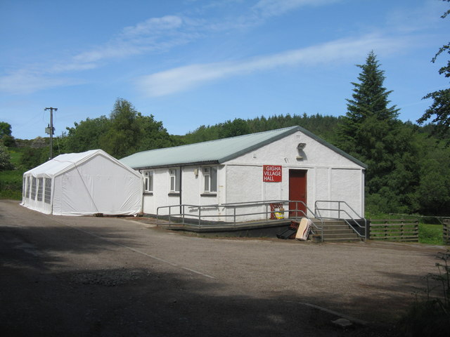
Ardminish
Ardminish (Scottish Gaelic: Aird Mhèanais) is the sole village on the Isle of Gigha in the Inner Hebrides, in Argyll and Bute, Scotland, and considered...

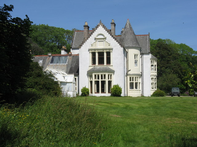
Achamore House
Achamore House is a mansion on the Isle of Gigha, Scotland. It was built in 1884 for Lt-Col William James Scarlett, and the extensive gardens were laid...

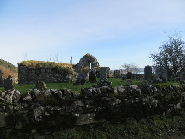
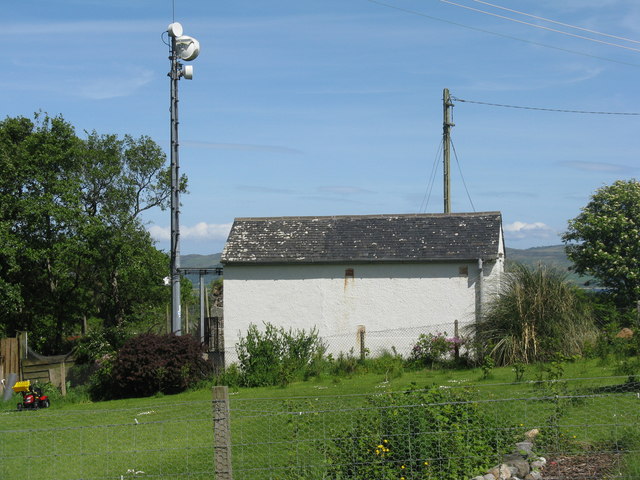
Kilchattan Chapel
Kilchattan Chapel (St Cathan's Chapel) is a ruined medieval chapel near Ardminish, Isle of Gigha, Argyll and Bute, Scotland. Built in the 13th century...

St Fionnlagh's Chapel
St Fionnlagh's Chapel (St Finla's Chapel) is a ruined medieval chapel on Cara Island, Argyll and Bute, Scotland. First recorded in the 15th century, the...

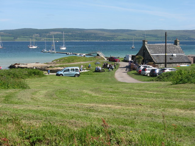
Gigha
Gigha (; Scottish Gaelic: Giogha; Scots: Gigha) or the Isle of Gigha (and formerly Gigha Island) is an island off the west coast of Kintyre in Scotland...
Cara Island
Cara Island (Scottish Gaelic: Cara) is a small island which is located off the west coast of Kintyre in Scotland. == Geography and etymology == Cara is...

Sound of Gigha
The Sound of Gigha is a sound between the Inner Hebridean Isle of Gigha and Kintyre. It forms part of the Atlantic Ocean. == External links ==

Tayinloan
Tayinloan (Scottish Gaelic: Taigh an Lòin, pronounced [t̪ɤj ə ˈl̪ˠɔːɲ]) is a village situated on the west coast of the Kintyre peninsula in Argyll and...
Nearby Amenities
Located within 500m of 55.65897,-5.743653Have you been to Creag Chrotha?
Leave your review of Creag Chrotha below (or comments, questions and feedback).