Creagach
Coastal Feature, Headland, Point in Argyllshire
Scotland
Creagach
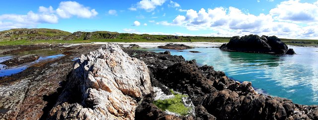
Creagach is a picturesque coastal headland located in Argyllshire, Scotland. Nestled on the western coast of the Scottish Highlands, this prominent point juts out into the majestic Atlantic Ocean, offering breathtaking views and inspiring landscapes.
The name "Creagach" derives from the Gaelic word "creag," meaning rock, which perfectly encapsulates the rugged and rocky nature of the headland. The region is known for its dramatic cliffs, which soar high above the crashing waves below. These cliffs are composed of ancient volcanic rock, formed millions of years ago during the region's volcanic activity.
The headland is also home to an abundance of wildlife, making it a popular spot for nature enthusiasts. Visitors can spot various seabirds such as gannets, puffins, and razorbills, as well as seals and occasional dolphins swimming in the surrounding waters.
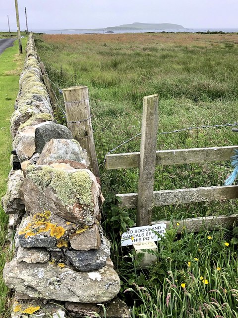
Creagach offers a plethora of outdoor activities for adventurous souls. Hikers and walkers can explore the headland via numerous trails, taking in the breathtaking coastal scenery along the way. The area is also renowned for its fishing opportunities, with anglers frequenting the shores to catch salmon and trout.
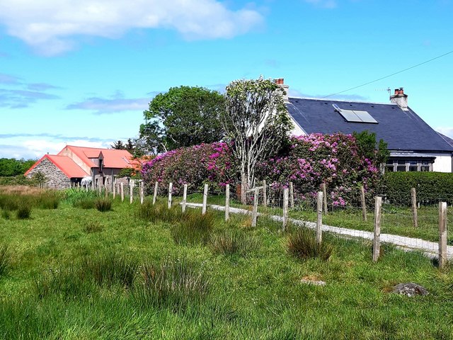
For those seeking tranquility and relaxation, Creagach provides several secluded beaches and coves where visitors can unwind and enjoy the soothing sounds of the ocean. The headland's remote location and unspoiled beauty add to its charm, making it a hidden gem for those looking to escape the hustle and bustle of city life.
In summary, Creagach in Argyllshire is a captivating coastal headland, offering awe-inspiring views, diverse wildlife, and a range of outdoor activities. Whether you are a nature lover, adventure seeker, or simply in search of serenity, Creagach is sure to leave a lasting impression.
If you have any feedback on the listing, please let us know in the comments section below.
Creagach Images
Images are sourced within 2km of 55.654626/-5.7484067 or Grid Reference NR6446. Thanks to Geograph Open Source API. All images are credited.
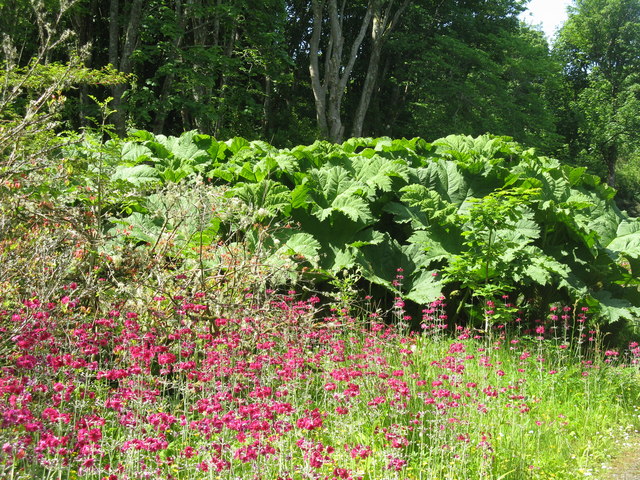
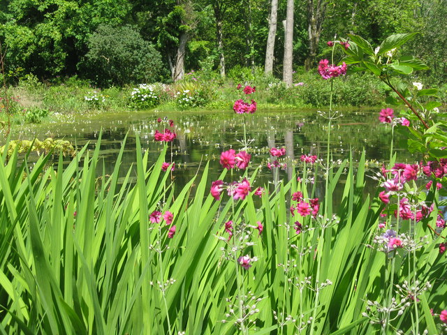
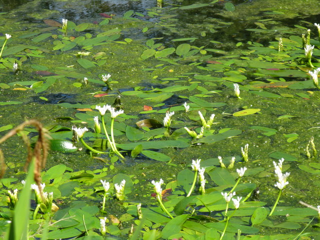
![Pond-edge plants at Achamore Garden Primula [pink] and Libertia [white flowers, of the Iris family], with a carved Otter by the pond.](https://s0.geograph.org.uk/geophotos/05/44/68/5446824_2d8ef6d8.jpg)
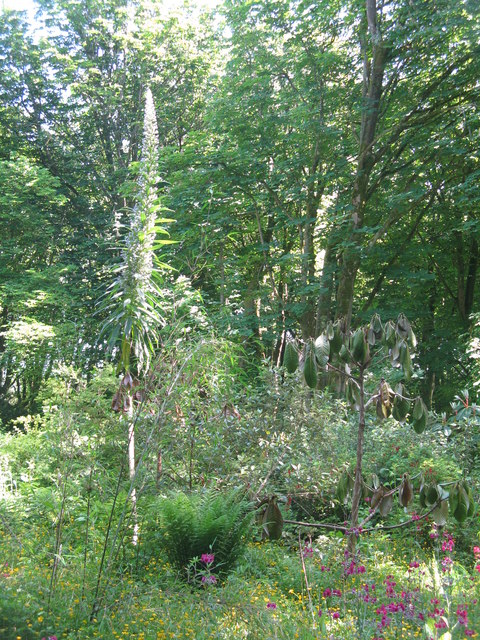
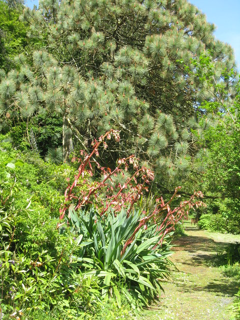
![Cabbage Tree and Giant Viper's Bugloss at Achamore Two plants [Cordyline australis, from New Zealand and Echium pininana, from the Canary Islands, resp.] that demonstrate the mildness of the Argyll climate.](https://s1.geograph.org.uk/geophotos/05/44/68/5446849_1cf8ed07.jpg)
Creagach is located at Grid Ref: NR6446 (Lat: 55.654626, Lng: -5.7484067)
Unitary Authority: Argyll and Bute
Police Authority: Argyll and West Dunbartonshire
What 3 Words
///sofas.chaos.hurt. Near Craighouse, Argyll & Bute
Nearby Locations
Related Wikis

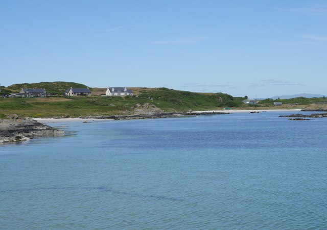
Ardminish
Ardminish (Scottish Gaelic: Aird Mhèanais) is the sole village on the Isle of Gigha in the Inner Hebrides, in Argyll and Bute, Scotland, and considered...

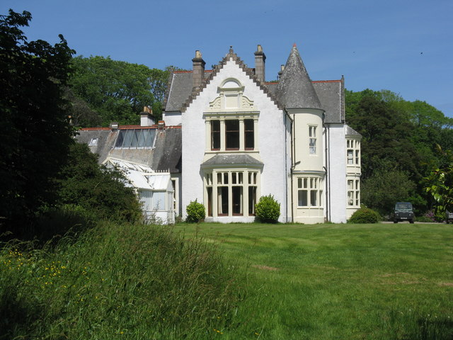
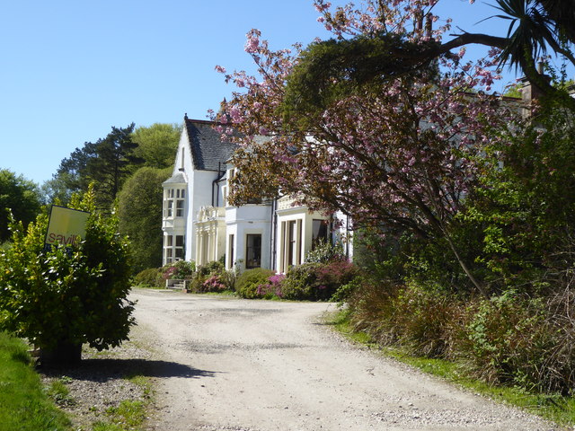
Achamore House
Achamore House is a mansion on the Isle of Gigha, Scotland. It was built in 1884 for Lt-Col William James Scarlett, and the extensive gardens were laid...

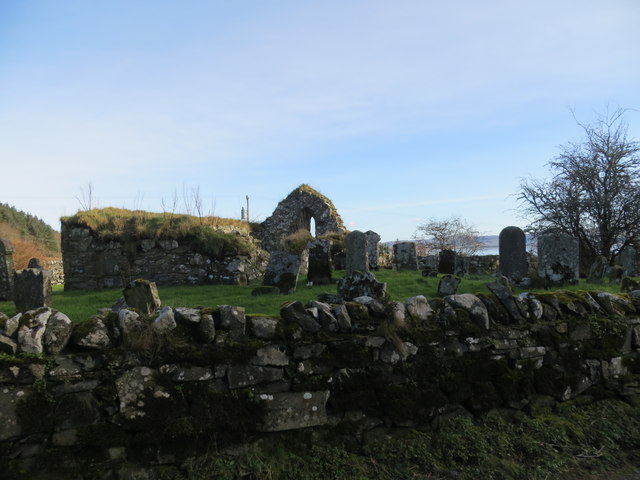
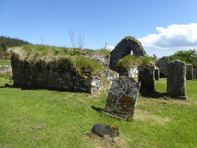
Kilchattan Chapel
Kilchattan Chapel (St Cathan's Chapel) is a ruined medieval chapel near Ardminish, Isle of Gigha, Argyll and Bute, Scotland. Built in the 13th century...

St Fionnlagh's Chapel
St Fionnlagh's Chapel (St Finla's Chapel) is a ruined medieval chapel on Cara Island, Argyll and Bute, Scotland. First recorded in the 15th century, the...
Nearby Amenities
Located within 500m of 55.654626,-5.7484067Have you been to Creagach?
Leave your review of Creagach below (or comments, questions and feedback).