Rubha an Tòrra Bhig

Coastal Feature, Headland, Point in Inverness-shire

Scotland

Rubha an Tòrra Bhig

Foreshore east of Rubha na Sgianadin Creag Strollamus is in the background.
Foreshore east of Rubha na Sgianadin Credit: Ian Taylor

The requested URL returned error: 429 Too Many Requests

If you have any feedback on the listing, please let us know in the comments section below.

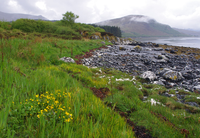
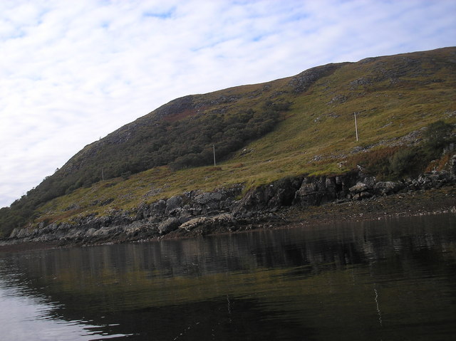
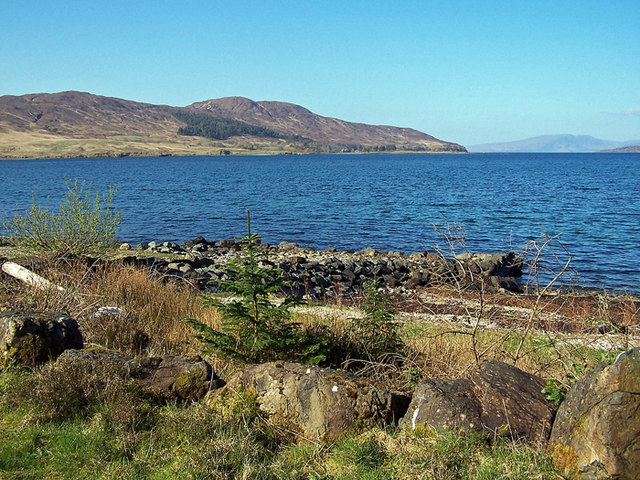
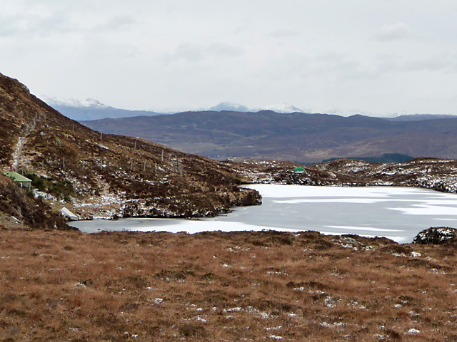
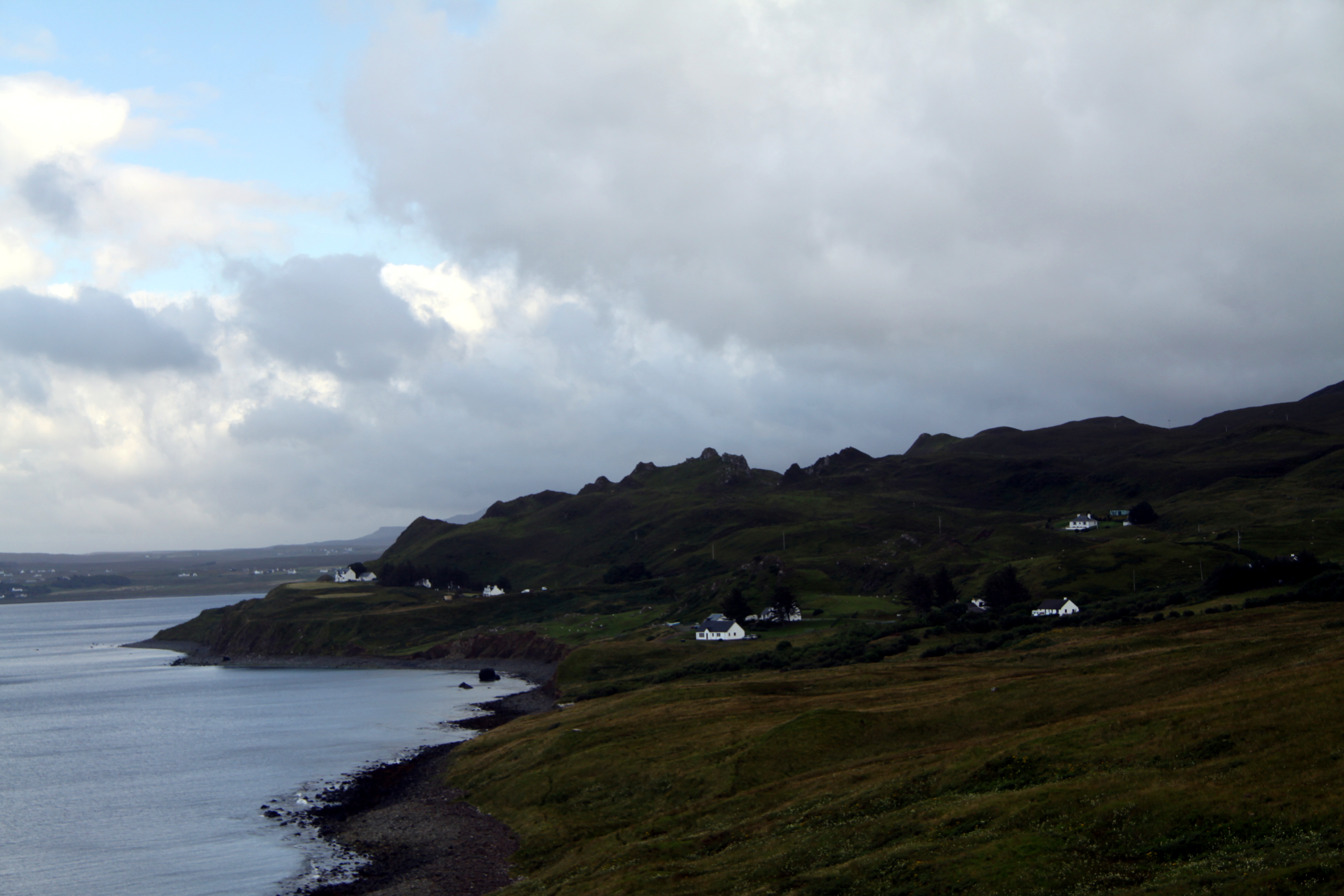
Rubha an Tòrra Bhig Images

Images are sourced within 2km of 57.280619/-5.9290688 or Grid Reference NG6327. Thanks to Geograph Open Source API. All images are credited.

Foreshore east of Rubha na Sgianadin Creag Strollamus is in the background.
Foreshore east of Rubha na Sgianadin
Creag Strollamus is in the background.
Rubha na Sgianadin The pot of gold was just behind the wee tree in the foreground.
Rubha na Sgianadin
The pot of gold was just behind the wee tree in the foreground.
Beinn Loch a' Mhuilinn Fourth island of the day on a RIB from Portree on day after Marhofn 2011 annual meeting in Portree organised by Alan Holmes. Did the HuMP first before Marilyn with Jim Bloomer and Bob Taylor, rugged hills.

Name: Beinn Loch a' Mhuilinn
Hill number: 4798
Height: 293m / 961ft
Area: 17C: South-East Skye and Scalpay
Class: Hu
Grid ref: NG 62662 29707
Summit feature: cairn
Drop: 103m
Col: 190m  NG613296
Beinn Loch a' Mhuilinn
Fourth island of the day on a RIB from Portree on day after Marhofn 2011 annual meeting in Portree organised by Alan Holmes. Did the HuMP first before Marilyn with Jim Bloomer and Bob Taylor, rugged hills. Name: Beinn Loch a' Mhuilinn Hill number: 4798 Height: 293m / 961ft Area: 17C: South-East Skye and Scalpay Class: Hu Grid ref: NG 62662 29707 Summit feature: cairn Drop: 103m Col: 190m NG613296
Pony track to Loch a' Mhuilinn. Passing through some more fertile ground on the way to the barren Torridonian uplands beyond the shelter belt.
Pony track to Loch a' Mhuilinn.
Passing through some more fertile ground on the way to the barren Torridonian uplands beyond the shelter belt.
Beinn Loch a'Mhuillin The summit looking over to Raasay.
Beinn Loch a'Mhuillin
The summit looking over to Raasay.
Beach on Broadford Bay A rocky beach pinned between forest and sea. Looking east.
Beach on Broadford Bay
A rocky beach pinned between forest and sea. Looking east.
Small Hut on Shore This is a small hut up from the shore, been done up recently, purpose is unknown, but the fishfarmers nearby called it the 'Emergency Shack'.  Just behind it is the track, inside it is two pallets, and the remnants of rifle cartridge boxes.
Small Hut on Shore
This is a small hut up from the shore, been done up recently, purpose is unknown, but the fishfarmers nearby called it the 'Emergency Shack'. Just behind it is the track, inside it is two pallets, and the remnants of rifle cartridge boxes.
Shoreline of Scalpay This is a portion of shoreline of Scalpay. The power lines lead to a smaller house further round the island.
Shoreline of Scalpay
This is a portion of shoreline of Scalpay. The power lines lead to a smaller house further round the island.
The biggest house on Scalpay This is one of four houses on Scalpay. The owners run the mussel farm. Large building with a farm style courtyard.
The biggest house on Scalpay
This is one of four houses on Scalpay. The owners run the mussel farm. Large building with a farm style courtyard.
North Shore of the Guillamon Island This is the north shore of the Guillamon Island, this is a completely featureless lump of rock in the sea, very deep water around it, good for fishing probably, several small caves, ancient viking creels were once found in one.
North Shore of the Guillamon Island
This is the north shore of the Guillamon Island, this is a completely featureless lump of rock in the sea, very deep water around it, good for fishing probably, several small caves, ancient viking creels were once found in one.
Camas na Sgianadin and eastern end of Caolas Scalpay The view from the A87 on a gorgeous May morning, with Scalpay at left and Rubha na Sgianadin at right.
Camas na Sgianadin and eastern end of Caolas Scalpay
The view from the A87 on a gorgeous May morning, with Scalpay at left and Rubha na Sgianadin at right.
Disused jetty At the end of a forestry road is a clearing and this stone built jetty. Was it built to provide access to the forest by boat?
Forest clearance is currently underway near here, but the logs are being removed by road.
The land beyond is the Island of Scalpay.
Disused jetty
At the end of a forestry road is a clearing and this stone built jetty. Was it built to provide access to the forest by boat? Forest clearance is currently underway near here, but the logs are being removed by road. The land beyond is the Island of Scalpay.
Beach north of Broadford There is a signposted path round this headland from Broadford cemetery to Corry.
  The rocky beach is slow-going, and the grassy strip at the top of the beach is very boggy.
Beach north of Broadford
There is a signposted path round this headland from Broadford cemetery to Corry. The rocky beach is slow-going, and the grassy strip at the top of the beach is very boggy.
Basalt beach Just here, a flat outcrop of basalt is exposed on the beach. Several dykes extend into the sea.
Note that the forest in John Allan's picture <a href="https://www.geograph.org.uk/photo/144273">NG6326 : Beach on Broadford Bay</a> has now been felled.
Basalt beach
Just here, a flat outcrop of basalt is exposed on the beach. Several dykes extend into the sea. Note that the forest in John Allan's picture NG6326 : Beach on Broadford Bay has now been felled.
North over Caolas Scalpay Looking north from the beach north west of Broadford, the tip of the island of Scalpay is on the left.
The small island is Guillamon Island in square <a href="https://www.geograph.org.uk/gridref/NG6327">NG6327</a> .
North over Caolas Scalpay
Looking north from the beach north west of Broadford, the tip of the island of Scalpay is on the left. The small island is Guillamon Island in square NG6327 .
Path along the shore There is a path of sorts along the shore here, but it is very boggy in many places. The rocky beach is not easy to walk on either!
Path along the shore
There is a path of sorts along the shore here, but it is very boggy in many places. The rocky beach is not easy to walk on either!
Loch a' Mhuilinn The mill loch that lies high in the hills of Scalpay.
Loch a' Mhuilinn
The mill loch that lies high in the hills of Scalpay.
Outbuilding of Scalpay House Looks a bit like a coach house, but with no roads on the island that is probably unlikely. Perhaps it is a farm building of some sort.
Outbuilding of Scalpay House
Looks a bit like a coach house, but with no roads on the island that is probably unlikely. Perhaps it is a farm building of some sort.
Show me another place!

Rubha an Tòrra Bhig is located at Grid Ref: NG6327 (Lat: 57.280619, Lng: -5.9290688)

Unitary Authority: Highland

Police Authority: Highlands and Islands

What 3 Words

///honest.flute.masterpiece. Near Broadford, Highland

Related Wikis

Ross, Skye and Lochaber (UK Parliament constituency)

Ross, Skye and Lochaber is a constituency of the House of Commons of the Parliament of the United Kingdom (Westminster). It elects one Member of Parliament...

Dunan, Skye

Dunan (Scottish Gaelic: An Dùnan) is a settlement on the south shore of the sea loch, Loch na Cairidh near Broadford, on the island of Skye in Scotland...

Mackinnon Memorial Hospital

The former Mackinnon Memorial Hospital building is now vacant; it sits adjacent to the new Broadford Hospital, all services having moved into this new...

Longay

Longay (Scottish Gaelic: Longaigh) is a small uninhabited Scottish island in the Inner Sound just off the coast of the Isle of Skye, north of Pabay and...

Nearby Amenities

Located within 500m of 57.280619,-5.9290688
Source: PGS
Lat/Long: 57.2819343/-5.9335269
Source: PGS
Lat/Long: 57.2808459/-5.9350396
Source: PGS
Lat/Long: 57.2805813/-5.9355623
Ford: yes
Lat/Long: 57.2807321/-5.9360645
Ford: yes
Lat/Long: 57.2818083/-5.9342877
Rubha an Torra Bhig
Natural: cape
Lat/Long: 57.2810948/-5.9292413
Rubha an Torra Mhòir
Natural: cape
Lat/Long: 57.2829319/-5.926426
Rubha an Trusaidh
Natural: cape
Lat/Long: 57.2786266/-5.9352151
The data included in this document is from www.openstreetmap.org. The data is made available under ODbL.

Have you been to Rubha an Tòrra Bhig?

Leave your review of Rubha an Tòrra Bhig below (or comments, questions and feedback).