An Toll Dubh
Coastal Feature, Headland, Point in Ross-shire
Scotland
An Toll Dubh
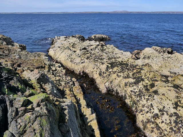
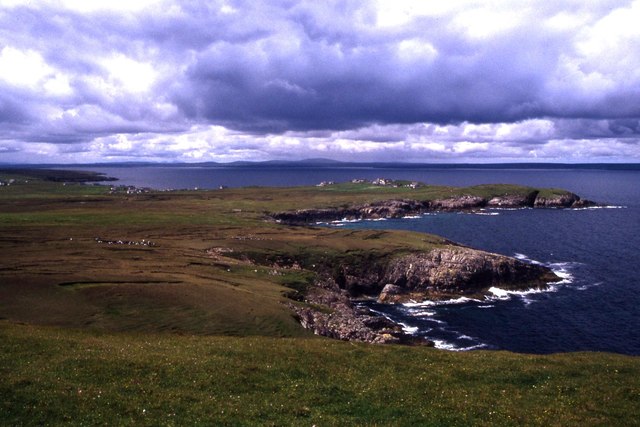
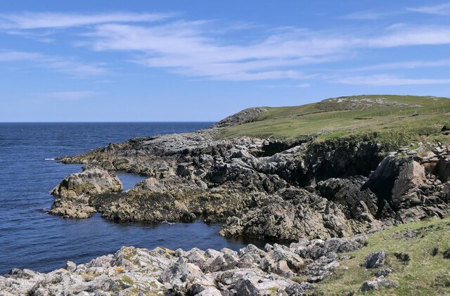
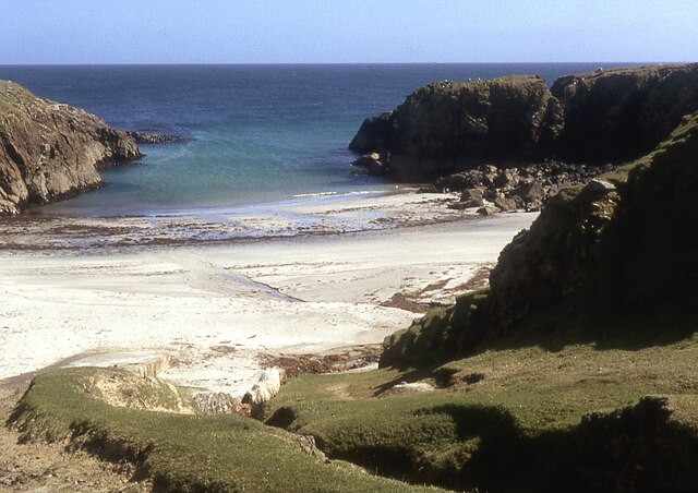
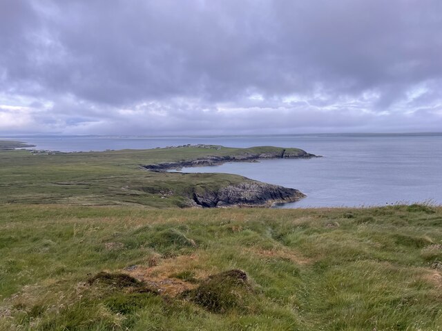
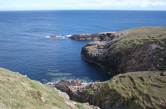
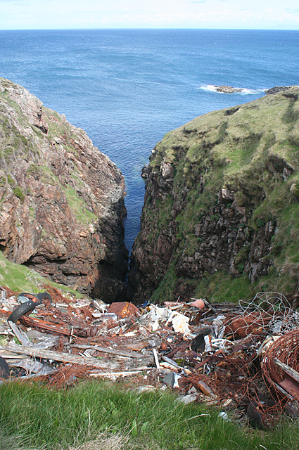
An Toll Dubh is a prominent coastal feature located in Ross-shire, Scotland. It is a headland that juts out into the North Atlantic Ocean, forming a distinct point along the rugged coastline. The name "An Toll Dubh" translates to "The Black Hole" in Gaelic, which is a fitting description of the dark, rocky cliffs that characterize the area.
The headland is composed of ancient volcanic rocks, which have been shaped over millions of years by the powerful forces of erosion. The result is a dramatic landscape, with steep cliffs rising up from the crashing waves below. These cliffs are home to an array of seabirds, including gannets, kittiwakes, and puffins, making An Toll Dubh a popular destination for birdwatchers.
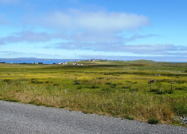
In addition to its natural beauty, An Toll Dubh also has historical significance. It is believed to have been a site of human occupation since prehistoric times, with evidence of ancient settlements and burial grounds in the surrounding area. The headland also played a role in the maritime history of the region, as it provided a navigational landmark for sailors and fishermen.
Today, An Toll Dubh attracts visitors from near and far who come to admire its stunning coastal scenery and explore the rich history of the area. There are hiking trails that wind along the cliff tops, offering breathtaking views of the ocean and the surrounding countryside. Whether it's for birdwatching, photography, or simply enjoying the serenity of the Scottish coast, An Toll Dubh is a must-visit destination for nature enthusiasts and history buffs alike.
If you have any feedback on the listing, please let us know in the comments section below.
An Toll Dubh Images
Images are sourced within 2km of 58.255569/-6.1380302 or Grid Reference NB5737. Thanks to Geograph Open Source API. All images are credited.
An Toll Dubh is located at Grid Ref: NB5737 (Lat: 58.255569, Lng: -6.1380302)
Unitary Authority: Na h-Eileanan an Iar
Police Authority: Highlands and Islands
What 3 Words
///stability.reheat.attention. Near North Tolsta, Na h-Eileanan Siar
Nearby Locations
Related Wikis

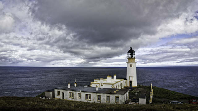
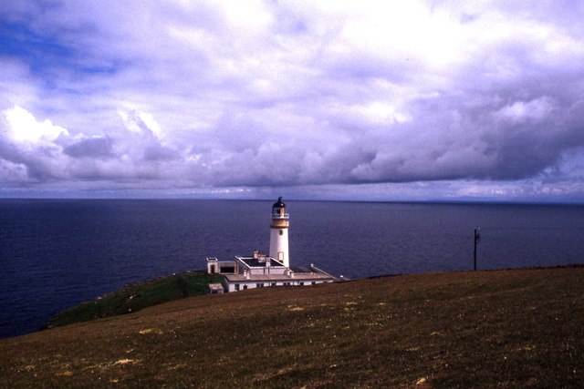
Tiumpan Head Lighthouse
The Tiumpan Head Lighthouse is an active lighthouse located in Tiumpan Head, Isle of Lewis, Outer Hebrides, Scotland. == History == The idea for the Tiumpan...

Portvoller
Portvoller (Scottish Gaelic: Port Mholair) is a small village on the north tip of the Eye Peninsula (which along with Melbost and Parkend makes up Point...

Portnaguran
Portnaguran (Scottish Gaelic: Port nan Giùran) is a settlement situated within Point, on the Isle of Lewis, in the Outer Hebrides, Scotland. Portnaguran...

Broker, Lewis
Broker (Scottish Gaelic: Brocair) is a small hamlet next to the village of Portvoller and Portnaguran on the Eye Peninsula located on the east side of...
Nearby Amenities
Located within 500m of 58.255569,-6.1380302Have you been to An Toll Dubh?
Leave your review of An Toll Dubh below (or comments, questions and feedback).