Corra-chroitean
Coastal Feature, Headland, Point in Argyllshire
Scotland
Corra-chroitean
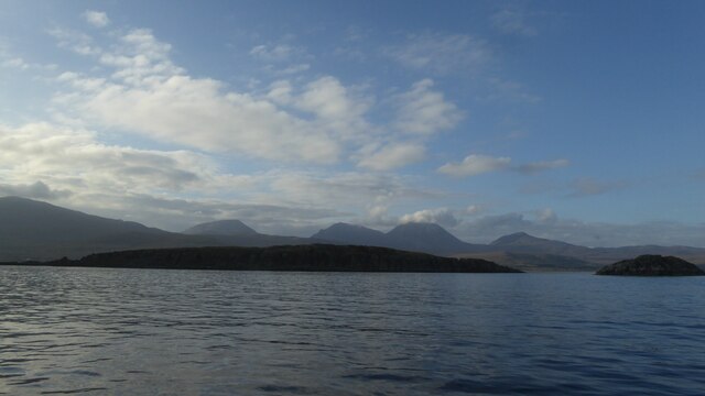
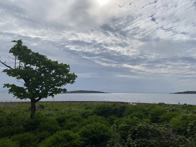
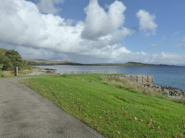
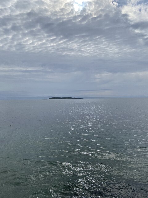
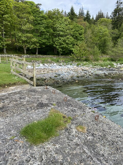
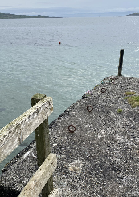
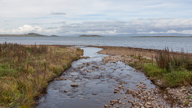
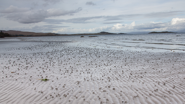
Corra-chroitean is a prominent coastal feature located in Argyllshire, Scotland. Situated on the western coast of the country, it is a well-known headland and point that offers stunning views of the surrounding landscape and the vast Atlantic Ocean.
The name "Corra-chroitean" originates from Scottish Gaelic and translates to "rock of the sheepfold," reflecting the historical presence of a sheep enclosure in the area. The headland is characterized by its rugged cliffs and rocky outcrops, which have been shaped over centuries by the powerful waves and winds of the Atlantic.
The terrain of Corra-chroitean is predominantly composed of slate and granite, giving it a unique and distinctive appearance. This geology also contributes to the headland's dramatic topography, with steep slopes and sheer cliffs that provide nesting sites for various seabirds such as gulls, fulmars, and razorbills.
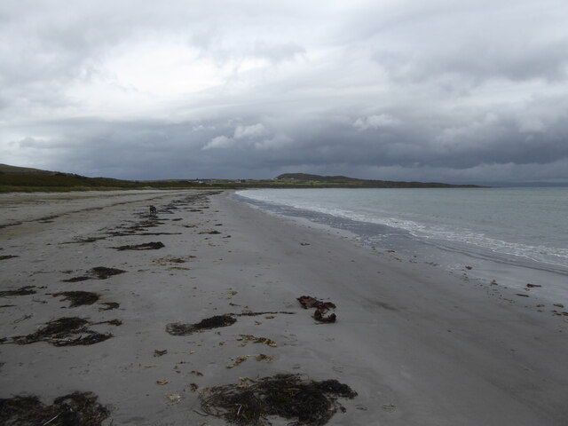
The surrounding area of Argyllshire is known for its abundance of wildlife, and Corra-chroitean is no exception. It is not uncommon to spot seals basking on the rocks or dolphins swimming in the nearby waters. The headland is also home to a variety of plant species, including heathers, grasses, and wildflowers, adding to its natural beauty.
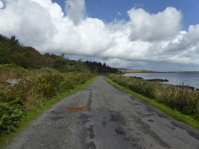
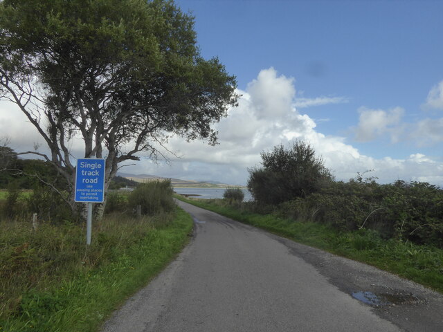
Corra-chroitean is a popular destination for nature enthusiasts and hikers who are drawn to its breathtaking scenery and the opportunity to explore the coastal trails that wind along its cliffs. The headland's commanding position provides panoramic views of the ocean, nearby islands, and the distant mountain ranges, making it an ideal spot for photography and sightseeing.
Overall, Corra-chroitean in Argyllshire offers a captivating coastal experience, where visitors can immerse themselves in the rugged beauty and tranquility of Scotland's western shores.
If you have any feedback on the listing, please let us know in the comments section below.
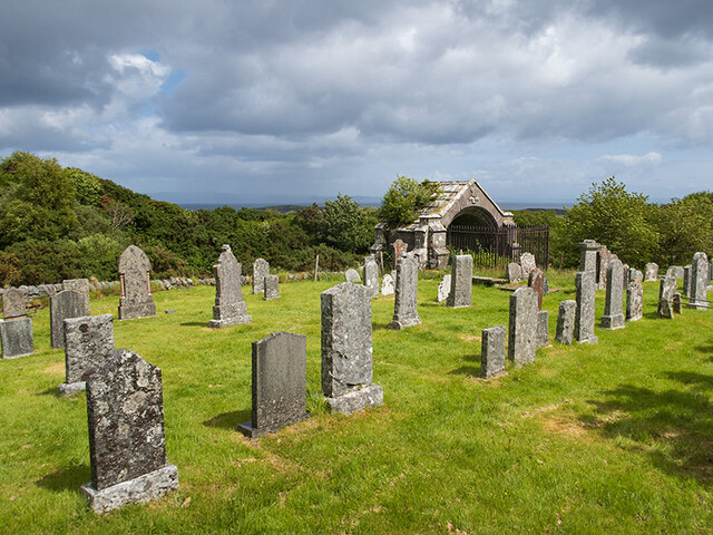
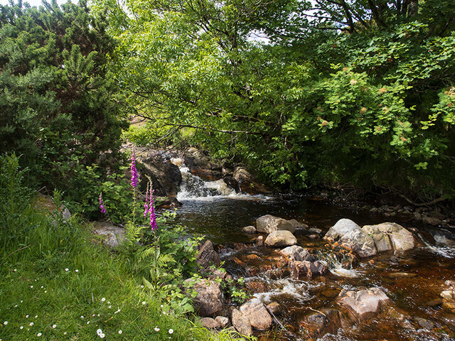
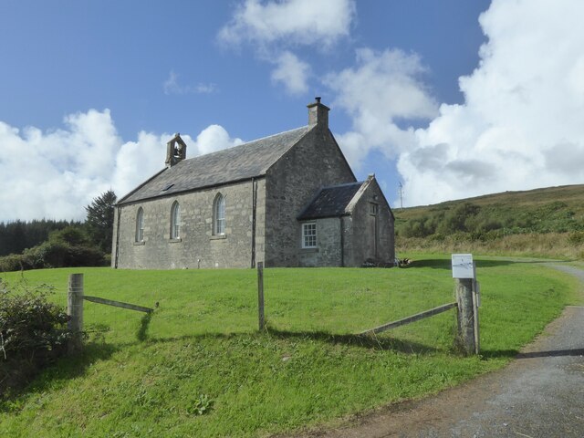
Corra-chroitean Images
Images are sourced within 2km of 55.857198/-5.9430142 or Grid Reference NR5369. Thanks to Geograph Open Source API. All images are credited.
Corra-chroitean is located at Grid Ref: NR5369 (Lat: 55.857198, Lng: -5.9430142)
Unitary Authority: Argyll and Bute
Police Authority: Argyll and West Dunbartonshire
What 3 Words
///stowing.kind.seashell. Near Craighouse, Argyll & Bute
Nearby Locations
Related Wikis

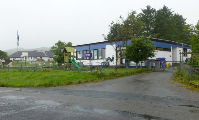
Keils
Keils formerly Kilearnadill is a hamlet 0.25 miles (0.40 km) from Craighouse on the island of Jura, in the council area of Argyll and Bute, Scotland. Keils...

Small Isles, Argyll
The Small Isles are a group of uninhabited islands east of Jura, in the council area of Argyll and Bute, Scotland. From south to north, the five islands...

Craighouse
Craighouse (Scottish Gaelic: Taigh na Creige) is the main settlement and capital of the Scottish Inner Hebridean island of Jura, in Argyll and Bute. In...
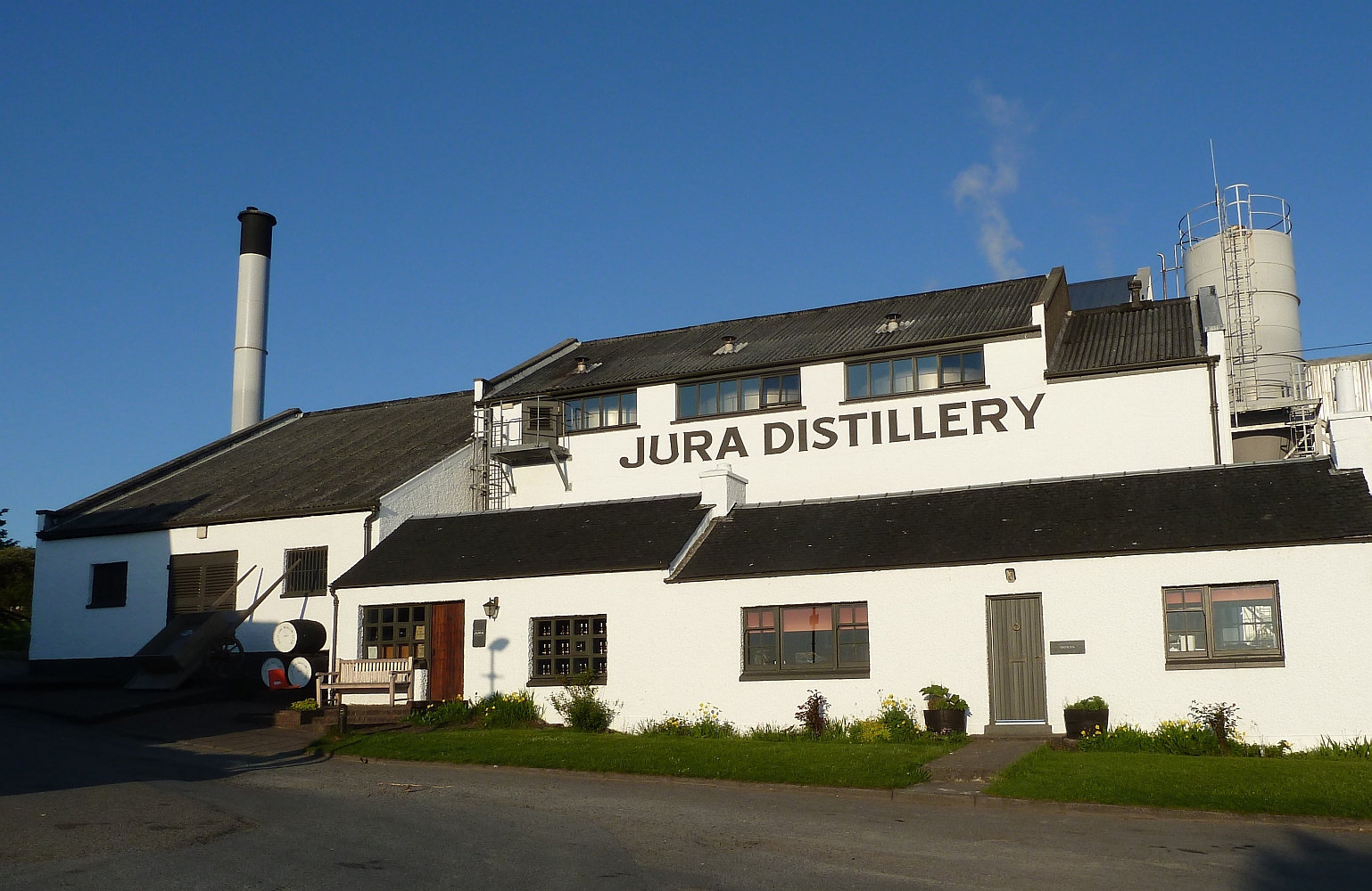
Jura distillery
Jura distillery is a Scotch whisky distillery on the island of Jura in the Inner Hebrides off the West Coast of Scotland. The distillery is operated by...
Nearby Amenities
Located within 500m of 55.857198,-5.9430142Have you been to Corra-chroitean?
Leave your review of Corra-chroitean below (or comments, questions and feedback).