A' Chrois
Coastal Feature, Headland, Point in Argyllshire
Scotland
A' Chrois
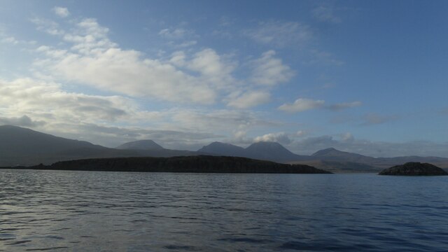
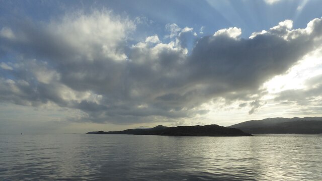
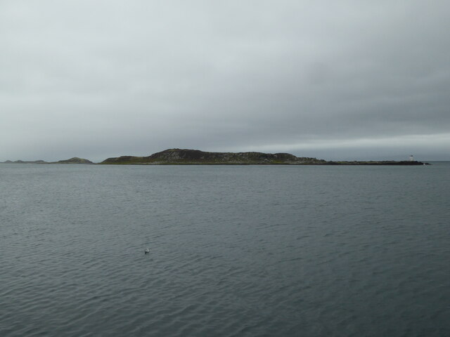
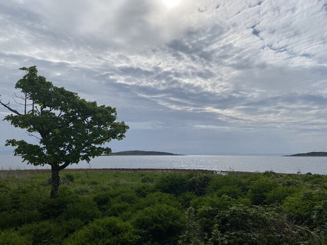
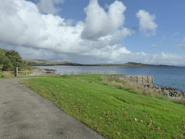
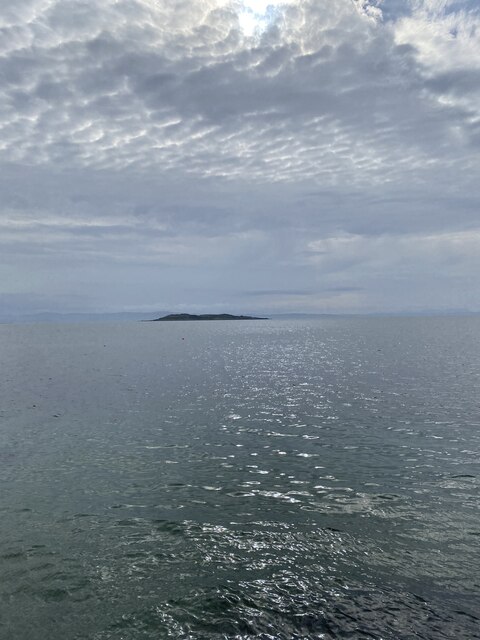
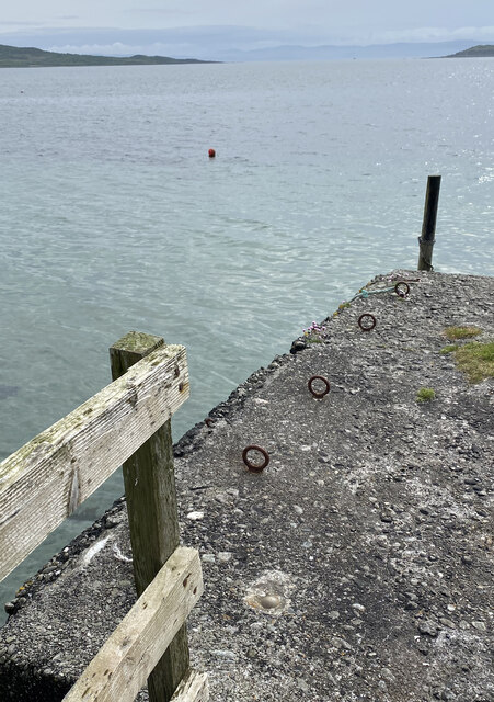
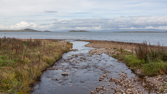
A' Chrois is a prominent coastal feature located in Argyllshire, Scotland. It is a headland that juts out into the Atlantic Ocean, forming a distinct point along the coastline. With its picturesque cliffs and stunning views, A' Chrois is a popular destination for both locals and tourists alike.
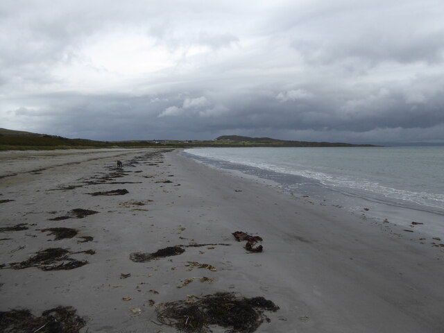
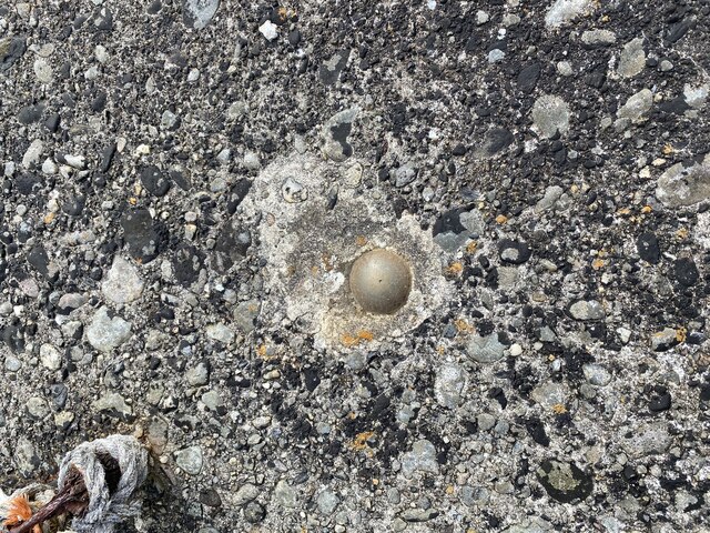
The headland is characterized by its rocky terrain, which provides a dramatic backdrop against the crashing waves of the ocean. These cliffs are made up of layers of sedimentary rocks, showcasing the geological history of the region. The rugged landscape is further enhanced by the presence of small caves and rock formations, adding to the area's natural beauty.
A' Chrois offers breathtaking panoramic views of the surrounding coastline, with vistas stretching far out into the ocean. On a clear day, visitors can spot various seabirds soaring above the cliffs, adding to the area's wildlife diversity. The headland's exposed location means that it can be quite windy, so visitors are advised to dress appropriately.
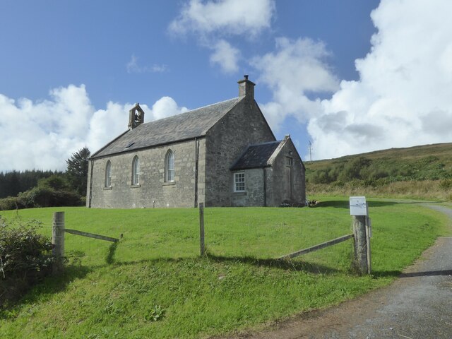
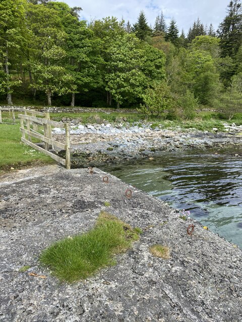
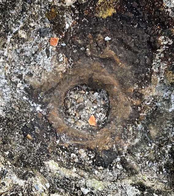
In addition to its natural splendor, A' Chrois also holds historical significance. It is believed to have been a strategic lookout point during ancient times, offering a vantage point for monitoring the sea and nearby land. Today, visitors can still see remnants of old fortifications and defensive structures, providing a glimpse into the area's past.
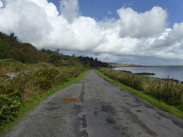
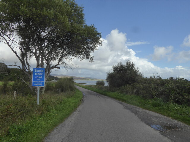
A' Chrois is easily accessible by foot, with several walking trails leading to the headland. It is a popular spot for hiking and outdoor enthusiasts, who can enjoy the beauty of the Scottish coast while exploring this remarkable coastal feature.
If you have any feedback on the listing, please let us know in the comments section below.
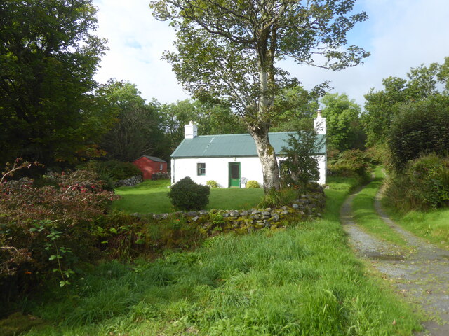
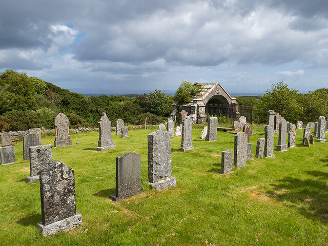
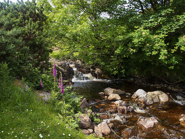
A' Chrois Images
Images are sourced within 2km of 55.853796/-5.942813 or Grid Reference NR5369. Thanks to Geograph Open Source API. All images are credited.
A' Chrois is located at Grid Ref: NR5369 (Lat: 55.853796, Lng: -5.942813)
Unitary Authority: Argyll and Bute
Police Authority: Argyll and West Dunbartonshire
What 3 Words
///dripping.sponsors.gradually. Near Craighouse, Argyll & Bute
Nearby Locations
Related Wikis

Keils
Keils formerly Kilearnadill is a hamlet 0.25 miles (0.40 km) from Craighouse on the island of Jura, in the council area of Argyll and Bute, Scotland. Keils...

Small Isles, Argyll
The Small Isles are a group of uninhabited islands east of Jura, in the council area of Argyll and Bute, Scotland. From south to north, the five islands...

Craighouse
Craighouse (Scottish Gaelic: Taigh na Creige) is the main settlement and capital of the Scottish Inner Hebridean island of Jura, in Argyll and Bute. In...
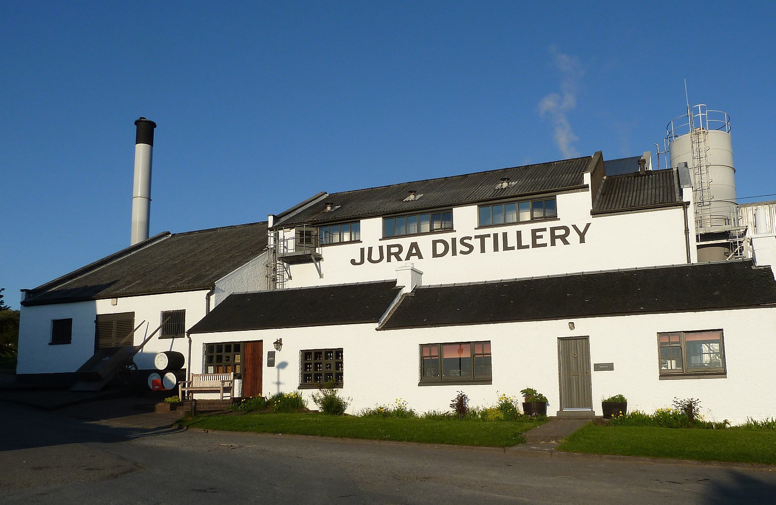
Jura distillery
Jura distillery is a Scotch whisky distillery on the island of Jura in the Inner Hebrides off the West Coast of Scotland. The distillery is operated by...

Ardfernal
Ardfernal (Scottish Gaelic: Àird Fheàrnail) is a hamlet on the island of Jura in Argyll and Bute, Scotland. The township had 16 buildings in 1882 and 9...

Knockrome
Knockrome is a hamlet on the island of Jura, in the civil parish of Jura, in the council area of Argyll and Bute, Scotland. On the 1982 OS 1:10000 map...

Beinn Shiantaidh
Beinn Shiantaidh (Scottish Gaelic for 'holy mountain') is the second highest peak of the Paps of Jura on the island of Jura, Scotland. It stands at 757...

Paps of Jura
The Paps of Jura (Scottish Gaelic: Sgurr na Cìche) are three mountains on the western side of the island of Jura, in the Inner Hebrides of Scotland. Their...
Nearby Amenities
Located within 500m of 55.853796,-5.942813Have you been to A' Chrois?
Leave your review of A' Chrois below (or comments, questions and feedback).