Clach Maraig
Coastal Feature, Headland, Point in Argyllshire
Scotland
Clach Maraig
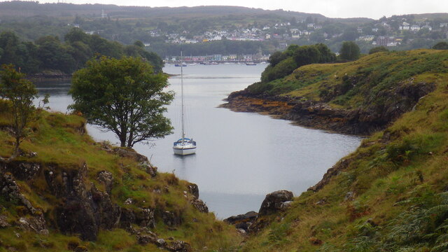
Clach Maraig is a prominent headland located in Argyllshire, Scotland. Situated along the stunning coastline, it juts out into the sea, offering breathtaking panoramic views of the surrounding area. The name "Clach Maraig" translates to "Marriage Rock" in English, which is believed to stem from a local legend associated with the site.
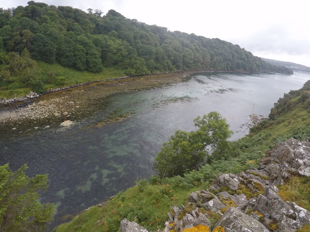
This coastal feature is characterized by its rugged and rocky terrain, with cliffs plunging dramatically into the Atlantic Ocean below. The headland is known for its distinctive shape, resembling a pointed finger reaching towards the horizon. It stands tall, providing a natural vantage point for visitors to admire the picturesque landscape and observe the interplay between the land and sea.
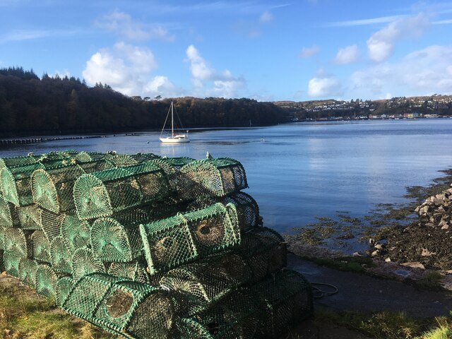
Clach Maraig is a popular destination for nature enthusiasts, hikers, and photographers. The area is home to a diverse range of flora and fauna, including seabirds, marine life, and various plant species that thrive in the coastal environment. The surrounding waters are known for their rich biodiversity, attracting divers and snorkelers who wish to explore the underwater world.
Visitors to Clach Maraig can enjoy leisurely walks along the headland, taking in the fresh sea air and enjoying the peaceful ambiance. The site also offers opportunities for birdwatching, as the cliffs provide nesting sites for a variety of seabirds, including puffins, guillemots, and gannets.
Overall, Clach Maraig in Argyllshire is a stunning coastal feature that combines natural beauty, geological interest, and a sense of tranquility. It serves as a testament to the captivating landscapes that can be found along Scotland's rugged coastline.
If you have any feedback on the listing, please let us know in the comments section below.
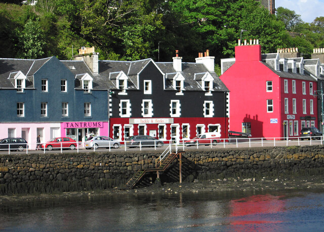
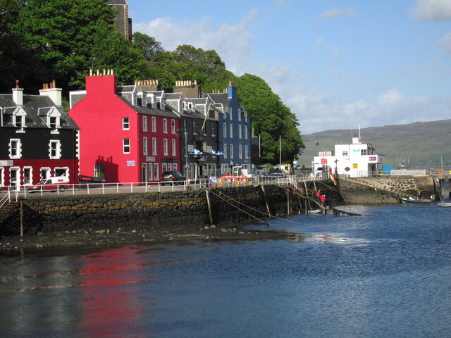
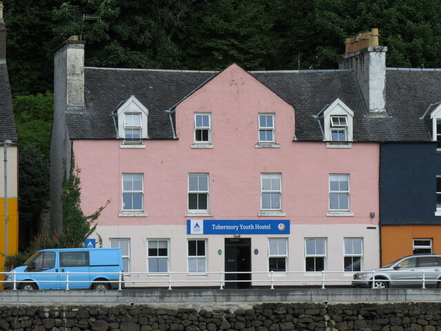
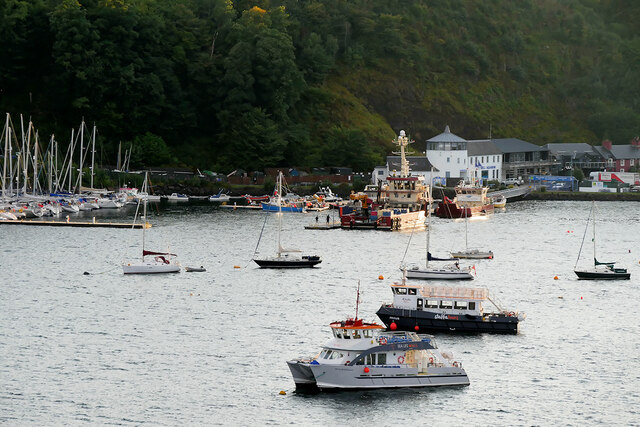
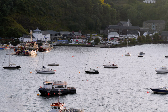
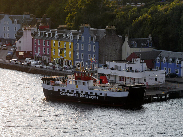
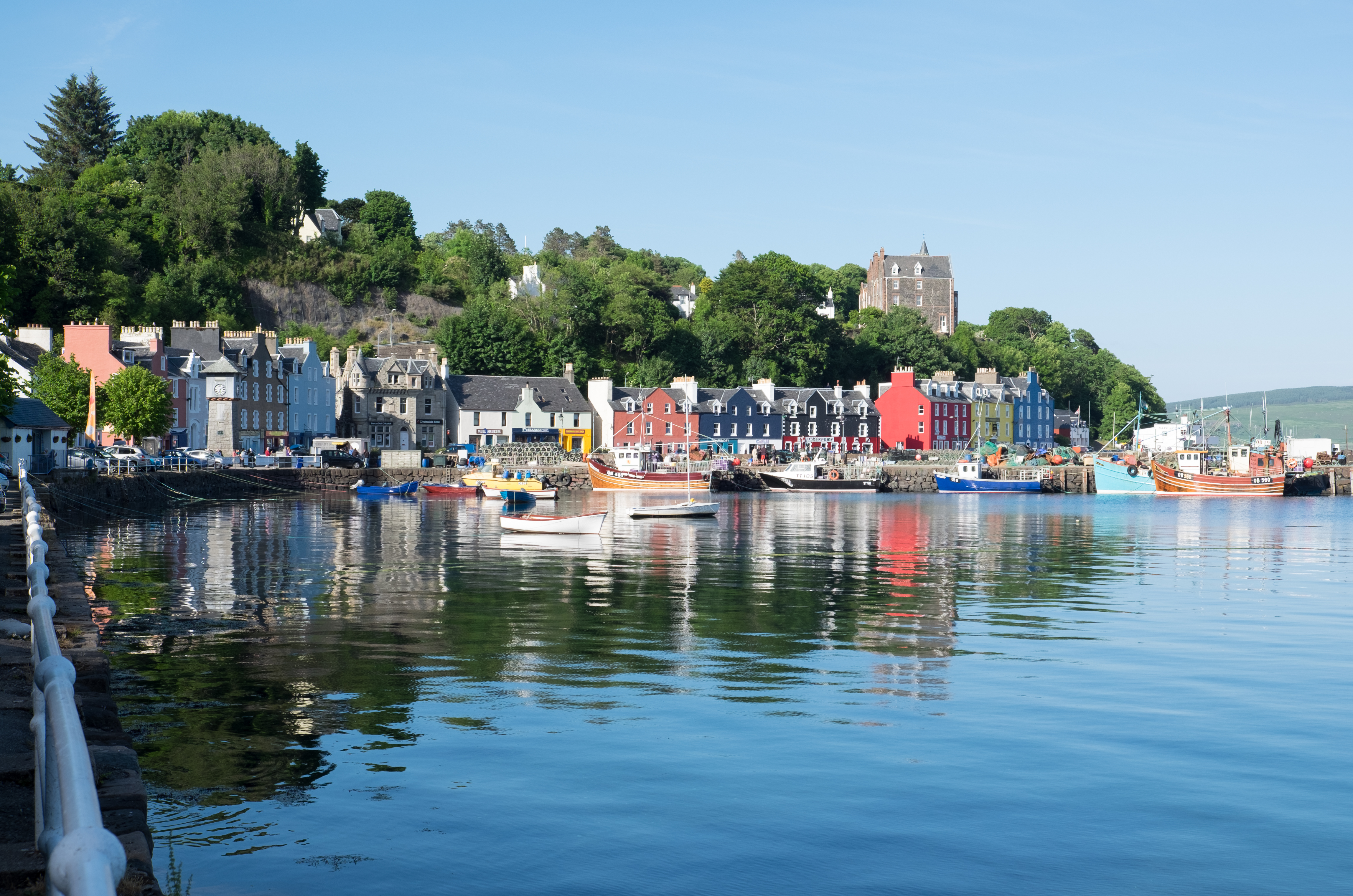
Clach Maraig Images
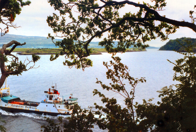
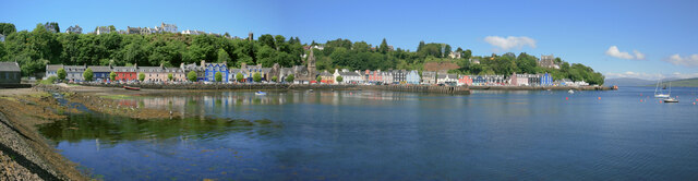
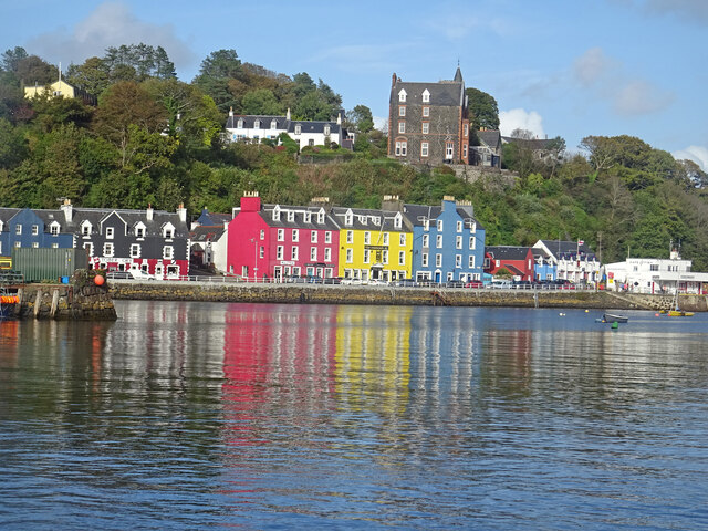
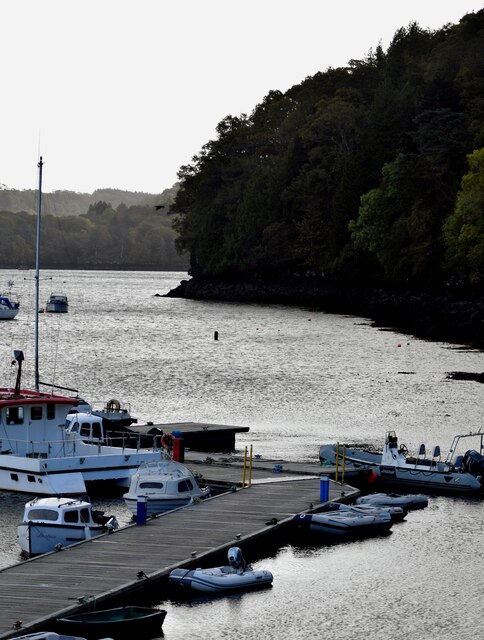
Images are sourced within 2km of 56.615139/-6.0456463 or Grid Reference NM5154. Thanks to Geograph Open Source API. All images are credited.
Clach Maraig is located at Grid Ref: NM5154 (Lat: 56.615139, Lng: -6.0456463)
Unitary Authority: Argyll and Bute
Police Authority: Argyll and West Dunbartonshire
What 3 Words
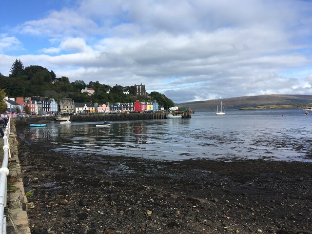
///pillows.warms.losses. Near Tobermory, Argyll & Bute
Nearby Locations
Related Wikis

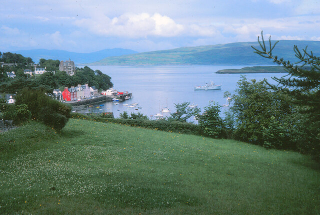
Calve Island
Calve Island is an uninhabited low-lying island off the east coast of the Isle of Mull in Argyll and Bute on the west coast of Scotland. A whitewashed...

Mull Little Theatre
Mull Little Theatre was a theatre on the Isle of Mull in the Inner Scottish Hebrides. Built from the shell of an old byre (cowshed) in 1963 by Barrie...
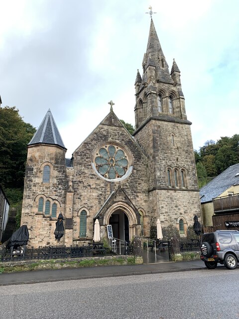
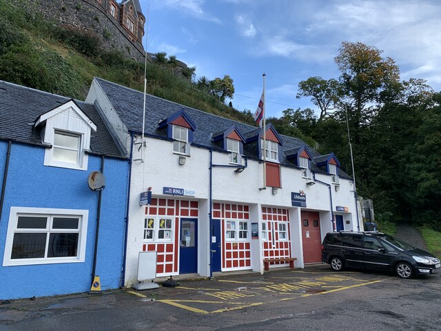
Tobermory, Mull
Tobermory (; Scottish Gaelic: Tobar Mhoire) is the capital of, and until 1973 the only burgh on, the Isle of Mull in the Scottish Inner Hebrides. It is...

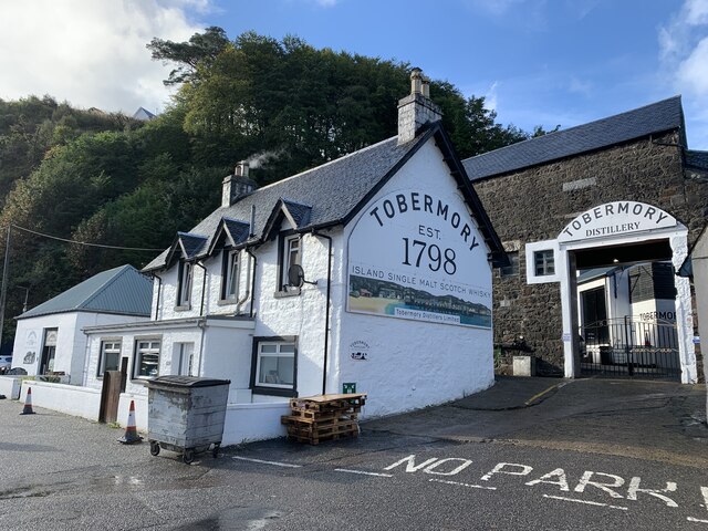
Tobermory distillery
Tobermory distillery is a Scotch whisky distillery situated on the Hebridean island of Mull, Scotland in the town of Tobermory. The distillery, which...
Nearby Amenities
Located within 500m of 56.615139,-6.0456463Have you been to Clach Maraig?
Leave your review of Clach Maraig below (or comments, questions and feedback).