Alla Tolan
Coastal Feature, Headland, Point in Ross-shire
Scotland
Alla Tolan
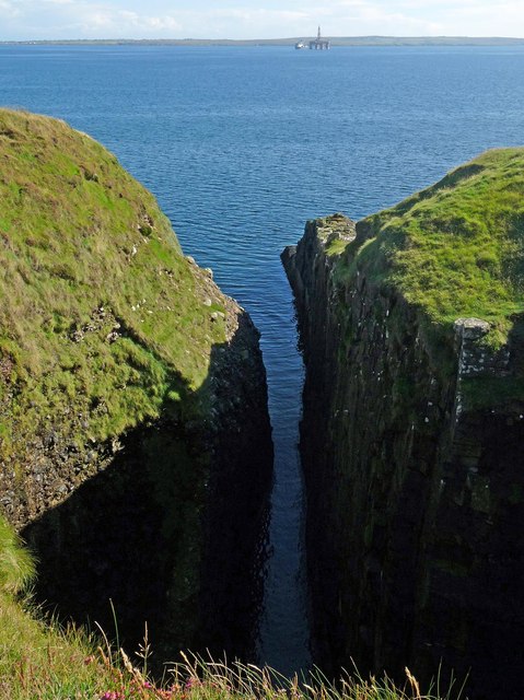
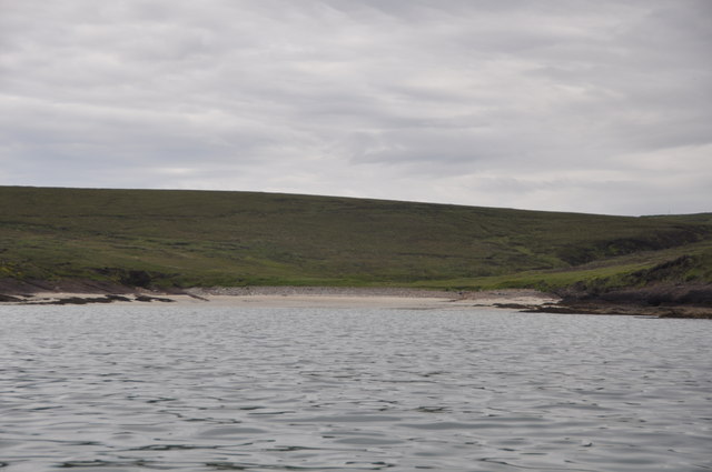
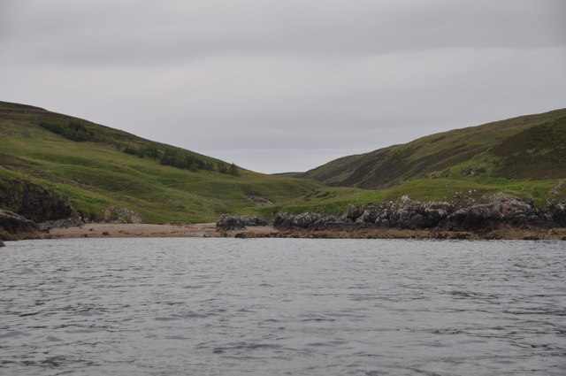
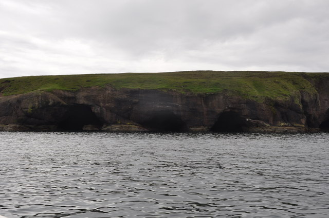
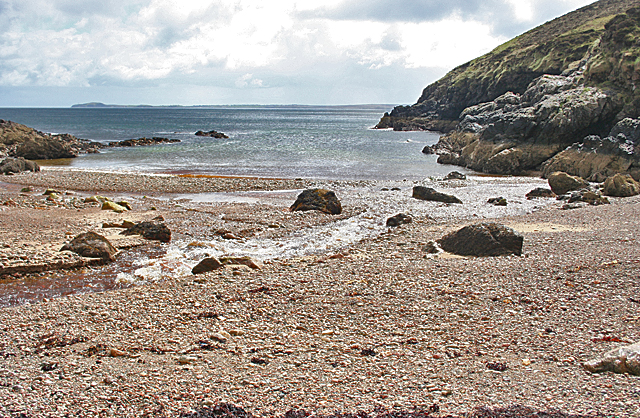
Alla Tolan is a prominent coastal feature located in Ross-shire, Scotland. It is an impressive headland that juts out into the North Sea, forming a distinct point along the coastline. This rugged and picturesque landscape is known for its dramatic cliffs, rocky outcrops, and stunning views of the surrounding sea.
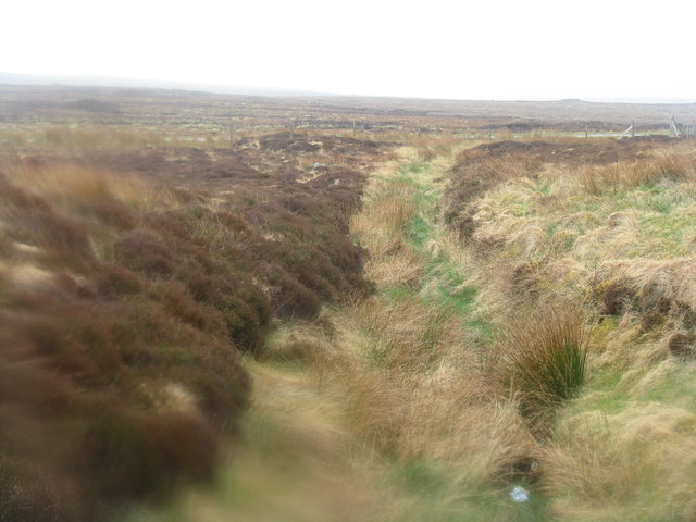
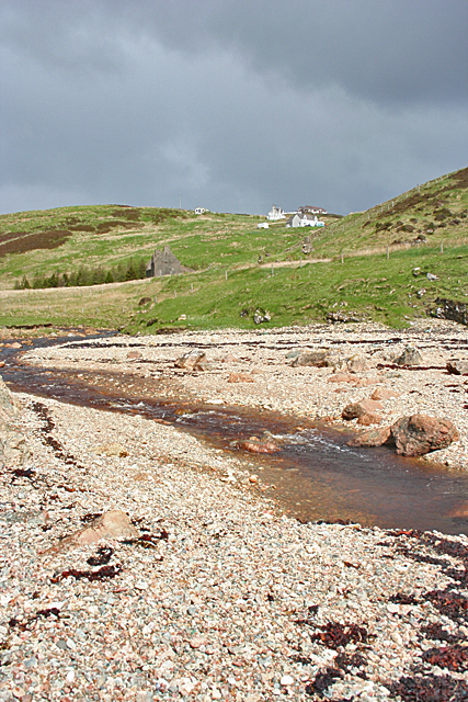
The headland itself is characterized by its steep slopes, which are formed by layers of sedimentary rock, primarily sandstone and shale. Over time, the relentless action of waves and weathering has sculpted the cliffs into unique formations, adding to the allure of the area.
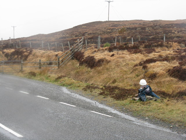
Alla Tolan is a popular destination for nature enthusiasts and hikers, offering a range of outdoor activities. The headland boasts several walking trails, providing access to the breathtaking coastal views and the diverse wildlife that inhabits the area. Visitors can spot various seabirds, such as gulls, puffins, and fulmars, as well as seals and dolphins swimming in the waters below.
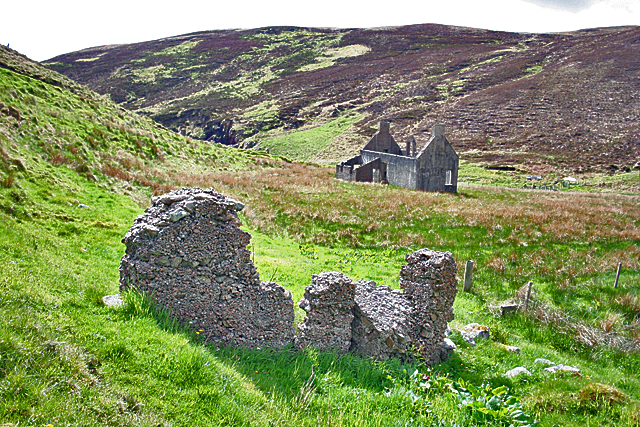
The headland's strategic location has also played a role in shaping its history. In the past, Alla Tolan served as a lookout point for potential invaders, and remnants of ancient fortifications can still be found scattered across the area. These historical landmarks add an extra layer of fascination to the site, attracting history enthusiasts and archaeologists.
Alla Tolan's natural beauty, rich biodiversity, and historical significance make it a must-visit destination for those exploring the Ross-shire coastline. Whether it's admiring the stunning cliffs, observing wildlife, or delving into the area's past, this coastal feature offers a truly captivating experience for all.
If you have any feedback on the listing, please let us know in the comments section below.
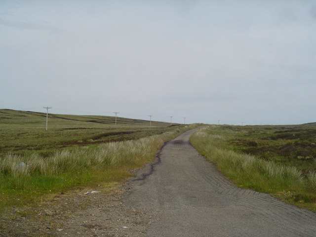
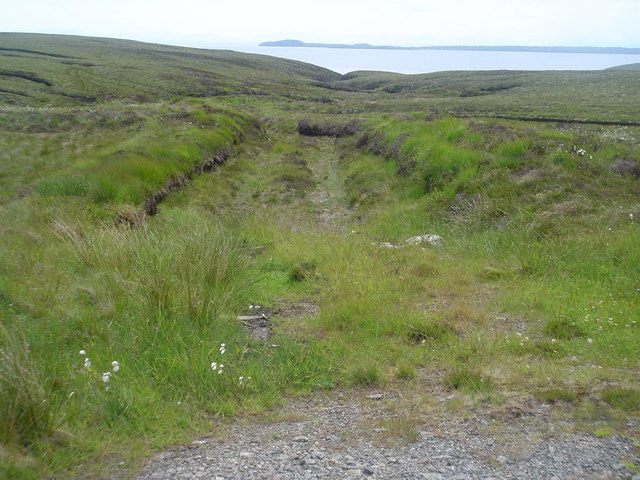
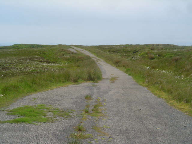
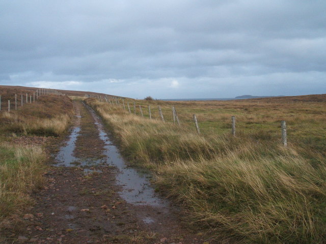
Alla Tolan Images
Images are sourced within 2km of 58.304561/-6.2377146 or Grid Reference NB5142. Thanks to Geograph Open Source API. All images are credited.


Alla Tolan is located at Grid Ref: NB5142 (Lat: 58.304561, Lng: -6.2377146)
Unitary Authority: Na h-Eileanan an Iar
Police Authority: Highlands and Islands
What 3 Words
///afterglow.printers.fled. Near North Tolsta, Na h-Eileanan Siar
Nearby Locations
Related Wikis

Gress
Gress (Scottish Gaelic: Griais), a hamlet on the Isle of Lewis in Scotland, is adjacent to the larger village of Back. Gress is within the parish of Stornoway...

Back, Lewis
Back (Scottish Gaelic: Am Bac) is a district and a village on the east coast of the Isle of Lewis in the Outer Hebrides, Scotland, situated on a coastal...

North Tolsta
North Tolsta (Scottish Gaelic: Tolastadh bho Thuath) is a village in the Scottish Outer Hebrides, on the east side of the Isle of Lewis. North Tolsta is...

Breivig
Breivig (Scottish Gaelic: Brèibhig) is a village on Lewis in the Outer Hebrides, Scotland. Breivig is within the parish of Stornoway.According to Magne...

New Tolsta
New Tolsta (Scottish Gaelic: Baile Ùr Tholastaidh) is a village on the Isle of Lewis in the Outer Hebrides, Scotland. New Tolsta is within the parish of...

Coll, Lewis
Coll (Scottish Gaelic: Col) is a farming settlement near Stornoway, on the Isle of Lewis in the Outer Hebrides, Scotland. Coll is situated on the B895...

Broad Bay, Lewis
Broad Bay (Scottish Gaelic: Loch a Tuath, meaning "north loch") is a bay which is situated on the coast of Isle of Lewis, and separates Back and Point...

Portnaguran
Portnaguran (Scottish Gaelic: Port nan Giùran) is a settlement situated within Point, on the Isle of Lewis, in the Outer Hebrides, Scotland. Portnaguran...
Have you been to Alla Tolan?
Leave your review of Alla Tolan below (or comments, questions and feedback).