Creag Ghlas
Coastal Feature, Headland, Point in Ross-shire
Scotland
Creag Ghlas
Creag Ghlas is a prominent coastal feature located in Ross-shire, Scotland. It is a headland that juts out into the North Sea, forming a distinct point along the rugged coastline. With its stunning natural beauty and unique geological formations, it has become a popular attraction for locals and tourists alike.
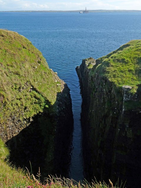
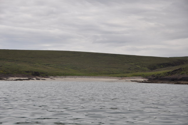
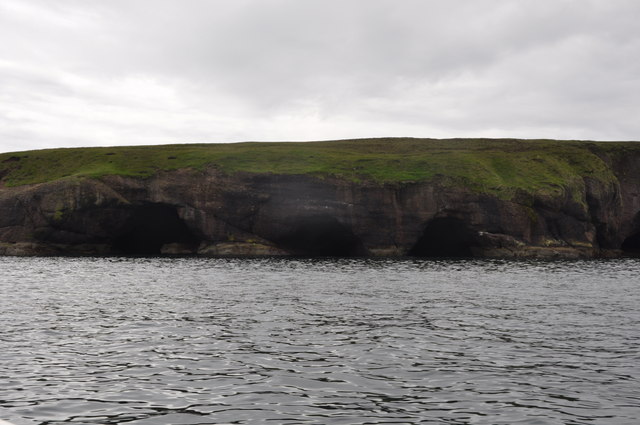
The headland is characterized by its towering cliffs, which rise dramatically from the sea, offering breathtaking panoramic views of the surrounding area. These cliffs, composed mainly of sandstone and shale, have been shaped by the relentless forces of erosion, creating fascinating rock formations and sea stacks.
The area surrounding Creag Ghlas is rich in biodiversity, with a diverse range of plant and animal species. The rugged terrain provides a habitat for various seabirds, including puffins, kittiwakes, and guillemots. Visitors often have the opportunity to observe these fascinating creatures nesting along the cliffs.
In addition to its natural beauty, Creag Ghlas also holds historical significance. The headland is home to the ruins of an ancient castle, which dates back to the medieval period. This castle, perched atop the cliffs, offers a glimpse into the region's rich history and provides a unique backdrop for exploration and photography.
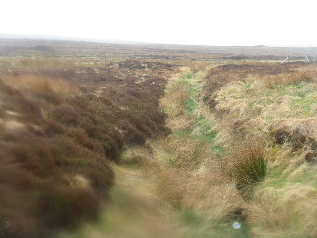
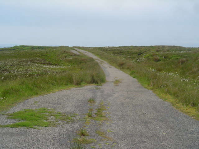
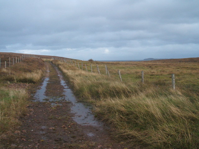
Access to Creag Ghlas is relatively easy, with a well-maintained path leading from a nearby parking area. However, caution is advised when traversing the cliffs, as they can be steep and unstable in certain areas. Proper footwear and adherence to safety guidelines are essential to ensure a safe and enjoyable visit.
Overall, Creag Ghlas is a captivating coastal feature that combines natural beauty, wildlife, and history. Its rugged cliffs, diverse wildlife, and rich historical heritage make it a must-visit destination for nature enthusiasts and history buffs.
If you have any feedback on the listing, please let us know in the comments section below.
Creag Ghlas Images
Images are sourced within 2km of 58.297296/-6.2406705 or Grid Reference NB5142. Thanks to Geograph Open Source API. All images are credited.


Creag Ghlas is located at Grid Ref: NB5142 (Lat: 58.297296, Lng: -6.2406705)
Unitary Authority: Na h-Eileanan an Iar
Police Authority: Highlands and Islands
What 3 Words
///anchorman.decoder.scorpions. Near North Tolsta, Na h-Eileanan Siar
Nearby Locations
Related Wikis

Gress
Gress (Scottish Gaelic: Griais), a hamlet on the Isle of Lewis in Scotland, is adjacent to the larger village of Back. Gress is within the parish of Stornoway...

Back, Lewis
Back (Scottish Gaelic: Am Bac) is a district and a village on the east coast of the Isle of Lewis in the Outer Hebrides, Scotland, situated on a coastal...

Breivig
Breivig (Scottish Gaelic: Brèibhig) is a village on Lewis in the Outer Hebrides, Scotland. Breivig is within the parish of Stornoway.According to Magne...

Broad Bay, Lewis
Broad Bay (Scottish Gaelic: Loch a Tuath, meaning "north loch") is a bay which is situated on the coast of Isle of Lewis, and separates Back and Point...

Coll, Lewis
Coll (Scottish Gaelic: Col) is a farming settlement near Stornoway, on the Isle of Lewis in the Outer Hebrides, Scotland. Coll is situated on the B895...

North Tolsta
North Tolsta (Scottish Gaelic: Tolastadh bho Thuath) is a village in the Scottish Outer Hebrides, on the east side of the Isle of Lewis. North Tolsta is...

Portnaguran
Portnaguran (Scottish Gaelic: Port nan Giùran) is a settlement situated within Point, on the Isle of Lewis, in the Outer Hebrides, Scotland. Portnaguran...

Flesherin
Flesherin (Scottish Gaelic: Na Fleisirean) is a small village on the Point peninsula of the Isle of Lewis in the Outer Hebrides. Located near Portnaguran...
Have you been to Creag Ghlas?
Leave your review of Creag Ghlas below (or comments, questions and feedback).