Geodh' a' Lìar
Coastal Feature, Headland, Point in Ross-shire
Scotland
Geodh' a' Lìar
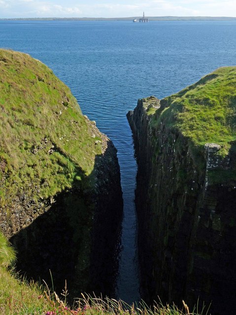
Geodh' a' Lìar is a prominent coastal feature located in Ross-shire, Scotland. It is classified as a headland or point due to its prominent and distinct geographical formation.
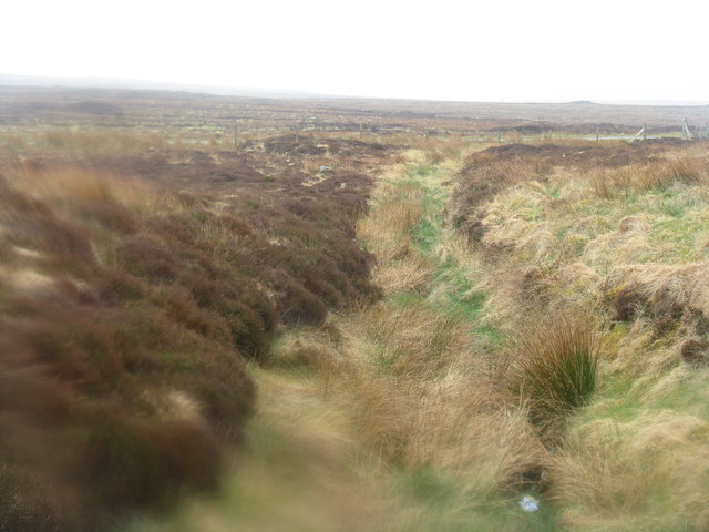
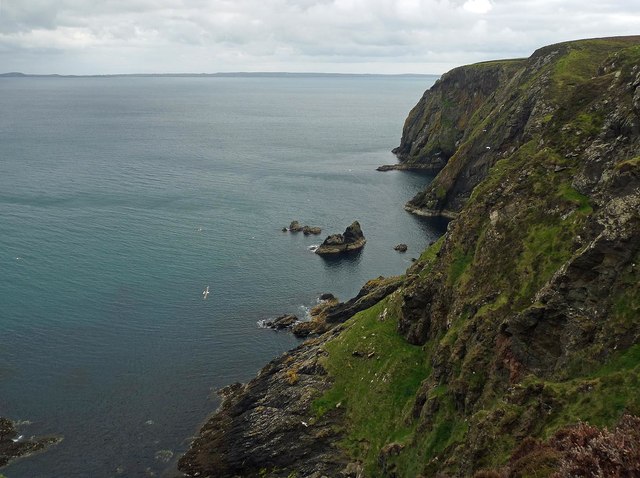
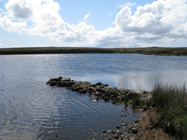
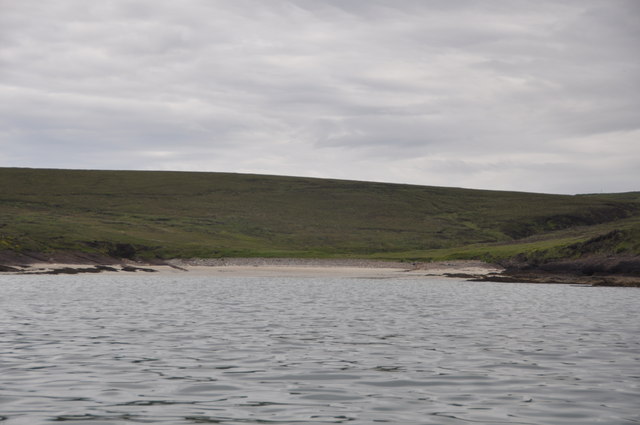
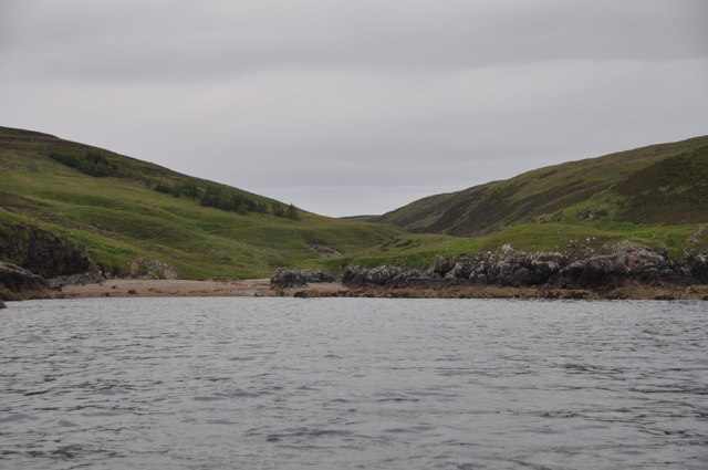
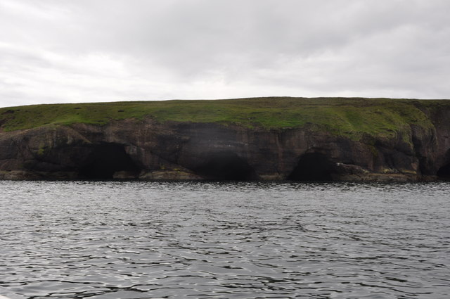
Situated along the rugged and picturesque coastline, Geodh' a' Lìar offers breathtaking views of the surrounding landscape. The headland is characterized by its rocky cliffs, which rise dramatically from the sea, forming a natural barrier against the crashing waves. These cliffs are composed of ancient sedimentary rocks, creating a unique and striking visual appeal.
Geodh' a' Lìar is a haven for wildlife enthusiasts and nature lovers. The surrounding waters are known for their rich marine life, including seals, dolphins, and a variety of seabirds. The headland provides an ideal vantage point for observing these creatures in their natural habitat.
In addition to its natural beauty, Geodh' a' Lìar holds historical significance. It has witnessed centuries of human activity, with evidence of ancient settlements and structures found in the vicinity. Archaeological excavations in the area have unearthed artifacts that shed light on the lives of early inhabitants.
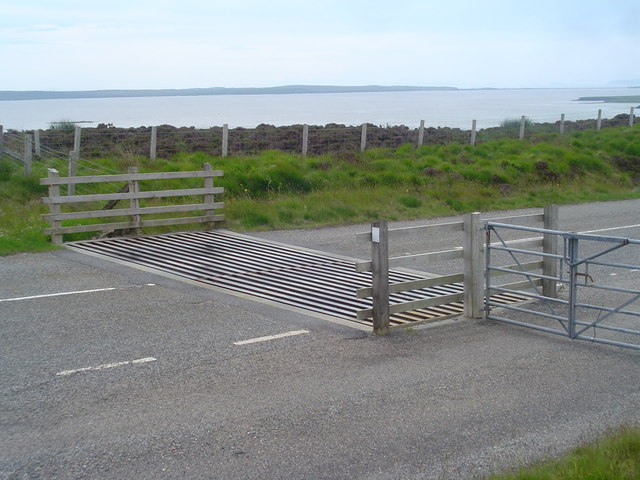
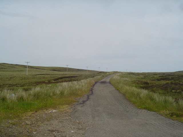
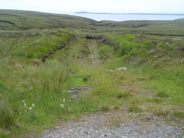
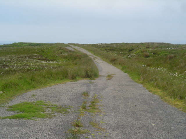
Visitors to Geodh' a' Lìar can enjoy various recreational activities, such as hiking along the coastal trails, birdwatching, and exploring the nearby sandy beaches. The headland is easily accessible, with well-maintained paths and designated viewpoints.
Overall, Geodh' a' Lìar is a captivating coastal feature that offers a combination of natural beauty, wildlife, and historical significance. It is a must-visit destination for those seeking a unique and enriching experience along Scotland's stunning coastline.
If you have any feedback on the listing, please let us know in the comments section below.
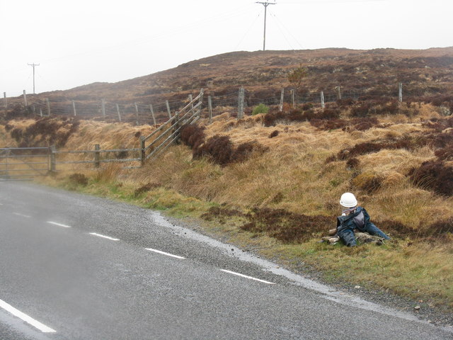
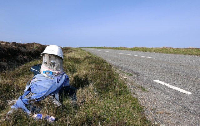
Geodh' a' Lìar Images
Images are sourced within 2km of 58.30934/-6.2400299 or Grid Reference NB5143. Thanks to Geograph Open Source API. All images are credited.


Geodh' a' Lìar is located at Grid Ref: NB5143 (Lat: 58.30934, Lng: -6.2400299)
Unitary Authority: Na h-Eileanan an Iar
Police Authority: Highlands and Islands
What 3 Words
///roost.sounding.falters. Near North Tolsta, Na h-Eileanan Siar
Nearby Locations
Related Wikis

Gress
Gress (Scottish Gaelic: Griais), a hamlet on the Isle of Lewis in Scotland, is adjacent to the larger village of Back. Gress is within the parish of Stornoway...

Back, Lewis
Back (Scottish Gaelic: Am Bac) is a district and a village on the east coast of the Isle of Lewis in the Outer Hebrides, Scotland, situated on a coastal...

North Tolsta
North Tolsta (Scottish Gaelic: Tolastadh bho Thuath) is a village in the Scottish Outer Hebrides, on the east side of the Isle of Lewis. North Tolsta is...

New Tolsta
New Tolsta (Scottish Gaelic: Baile Ùr Tholastaidh) is a village on the Isle of Lewis in the Outer Hebrides, Scotland. New Tolsta is within the parish of...

Breivig
Breivig (Scottish Gaelic: Brèibhig) is a village on Lewis in the Outer Hebrides, Scotland. Breivig is within the parish of Stornoway.According to Magne...

Coll, Lewis
Coll (Scottish Gaelic: Col) is a farming settlement near Stornoway, on the Isle of Lewis in the Outer Hebrides, Scotland. Coll is situated on the B895...

Broad Bay, Lewis
Broad Bay (Scottish Gaelic: Loch a Tuath, meaning "north loch") is a bay which is situated on the coast of Isle of Lewis, and separates Back and Point...

Portnaguran
Portnaguran (Scottish Gaelic: Port nan Giùran) is a settlement situated within Point, on the Isle of Lewis, in the Outer Hebrides, Scotland. Portnaguran...
Have you been to Geodh' a' Lìar?
Leave your review of Geodh' a' Lìar below (or comments, questions and feedback).