Creag Ard

Coastal Feature, Headland, Point in Ross-shire

Scotland

Creag Ard

Traigh Ghriais Erosion caused by a small stream reveals that the sand here is not very deep.
Traigh Ghriais Credit: Sandy Gerrard

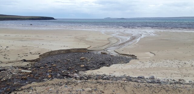
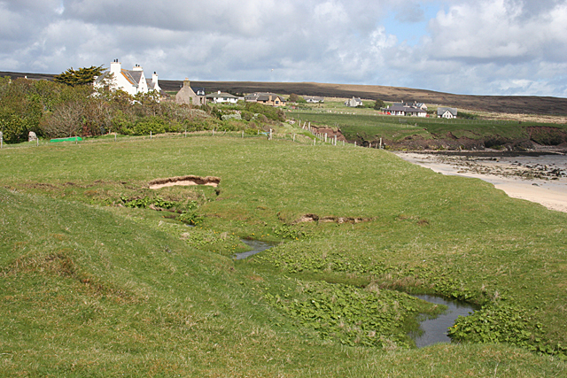
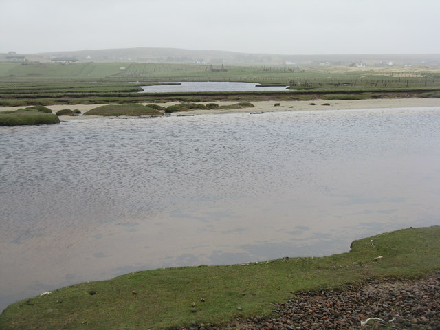
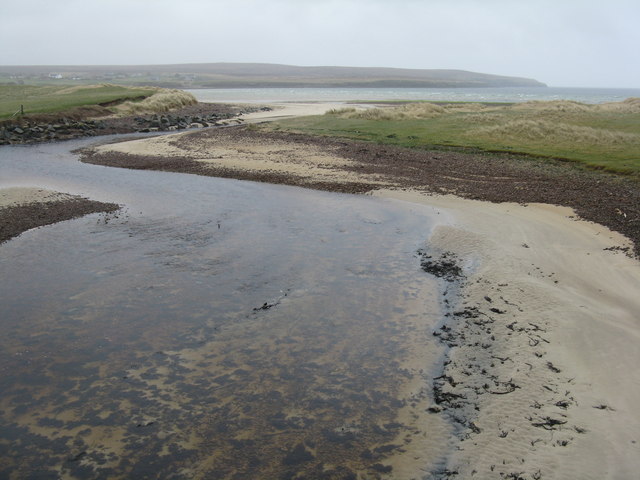
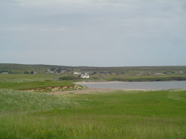
Creag Ard is a stunning coastal feature located in Ross-shire, Scotland. It is a prominent headland that juts out into the North Sea, offering breathtaking views of the surrounding area. With its rugged cliffs, rocky shoreline, and expansive vistas, Creag Ard has become a popular destination for nature enthusiasts and photographers alike.

The headland is characterized by its towering cliffs, which reach heights of up to 100 meters in some areas. These cliffs are composed of ancient rock formations, providing a glimpse into the geological history of the region. The exposed rocks also showcase various layers, revealing the passage of time and the forces that have shaped the landscape over millennia.

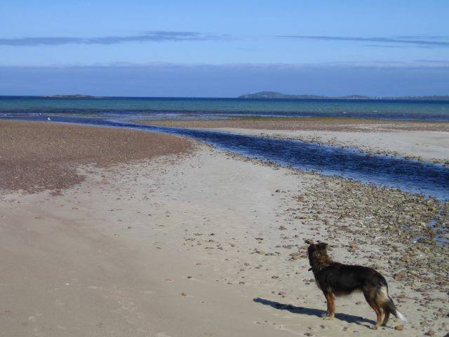
The coastal area surrounding Creag Ard is rich in biodiversity, with a diverse range of flora and fauna. It serves as an important habitat for numerous seabird species, including puffins, guillemots, and razorbills, which nest in the cliffs during the breeding season. Visitors to the headland can witness these magnificent birds in their natural habitat, as well as spot seals and dolphins swimming in the nearby waters.

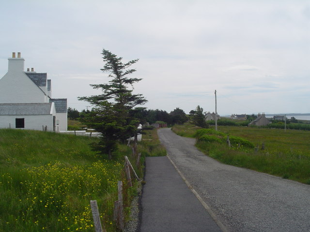
Access to Creag Ard is facilitated by a well-maintained footpath that winds along the coastline, providing visitors with the opportunity to explore the area while taking in the panoramic views. The headland also features a small beach, where visitors can relax and enjoy the tranquility of the surroundings.

Overall, Creag Ard is a captivating coastal feature that showcases the raw beauty of the Scottish coastline. Its dramatic cliffs, diverse wildlife, and breathtaking views make it a must-visit destination for nature lovers and those seeking a peaceful retreat by the sea.

If you have any feedback on the listing, please let us know in the comments section below.
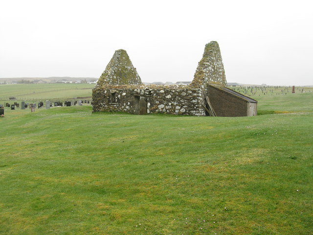
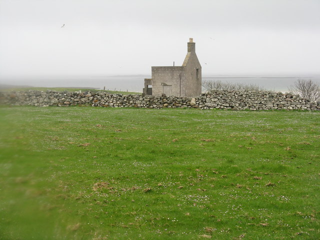
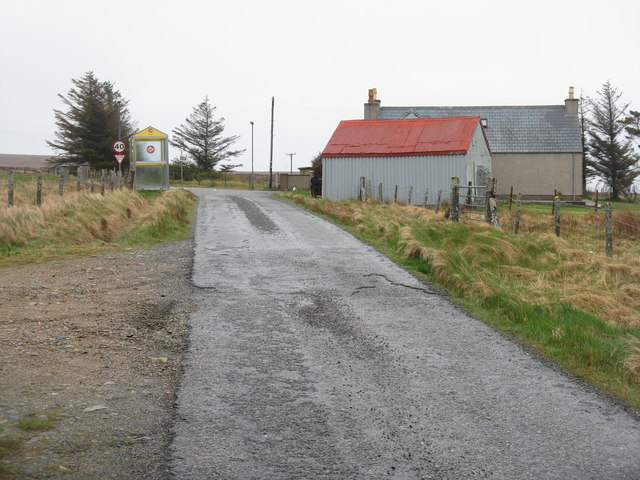
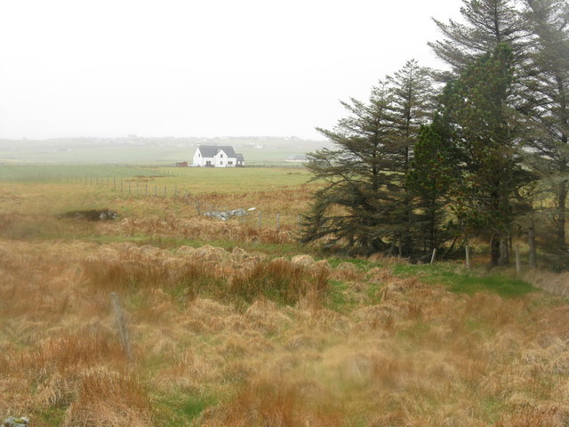
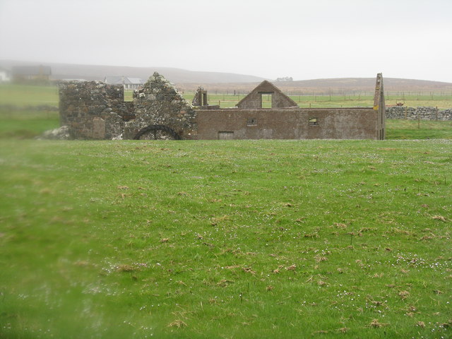
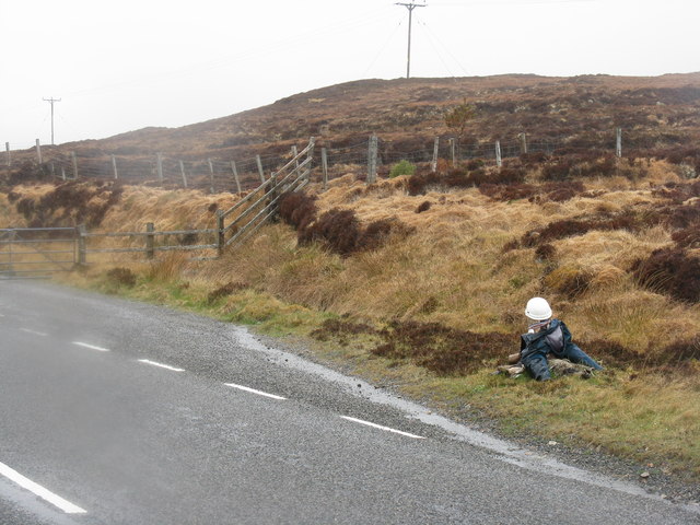
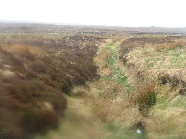
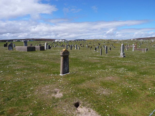
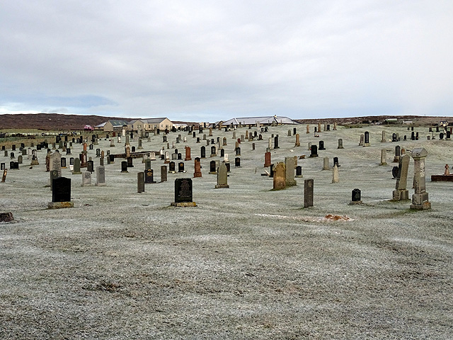
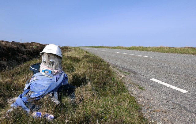
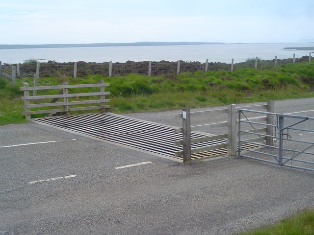
Creag Ard Images

Images are sourced within 2km of 58.294767/-6.2520836 or Grid Reference NB5041. Thanks to Geograph Open Source API. All images are credited.

Traigh Ghriais Erosion caused by a small stream reveals that the sand here is not very deep.
Traigh Ghriais
Erosion caused by a small stream reveals that the sand here is not very deep.
Griais (Gress) A convenient car park gives access to the beach, passing this spot on the way. I think the white house may be Loidse Ghriais (Gress Lodge) but am happy to be corrected.
Griais (Gress)
A convenient car park gives access to the beach, passing this spot on the way. I think the white house may be Loidse Ghriais (Gress Lodge) but am happy to be corrected.
Abhainn Ghriais Looking across the river to Teampall Amhlaigh, a ruined church with a burial ground.
Abhainn Ghriais
Looking across the river to Teampall Amhlaigh, a ruined church with a burial ground.
Abhainn Ghriais flows into the sea Through the beach of Tràigh Ghriais to Broad Bay/Loch a Tuath.
Abhainn Ghriais flows into the sea
Through the beach of Tràigh Ghriais to Broad Bay/Loch a Tuath.
Teampall Amhlaigh and burial ground Griais Cemetery and the remains of St Aula's Church.
Teampall Amhlaigh and burial ground
Griais Cemetery and the remains of St Aula's Church.
Half house at Loidse Ghriais The beach is quite near - an opportunity for redevelopment?
Half house at Loidse Ghriais
The beach is quite near - an opportunity for redevelopment?
Bus stop at Griais At the junction of the loop road from Griais with the main B895 road to Tholastaidh
Bus stop at Griais
At the junction of the loop road from Griais with the main B895 road to Tholastaidh
Croft land at Griais With an isolated new house.
Croft land at Griais
With an isolated new house.
Old watermill at Loidse Ghriais Unfortunately far too wet and windy to investigate further.
Old watermill at Loidse Ghriais
Unfortunately far too wet and windy to investigate further.
Weary worker by the B895 In fact just a boulder dressed up with helmet and overalls. A bit of light relief in this moorland landscape on a cold, wet, windy May day. Five years later, and still there <a href="https://www.geograph.org.uk/photo/5802841">NB4943 : Weary worker still by the B895 near Griais, Isle of Lewis</a>.
Weary worker by the B895
In fact just a boulder dressed up with helmet and overalls. A bit of light relief in this moorland landscape on a cold, wet, windy May day. Five years later, and still there NB4943 : Weary worker still by the B895 near Griais, Isle of Lewis.
Moorland on the flanks of Beinn Iobheir An uninspiring view of the Lewis landscape on a cold, wet, windy day.
Moorland on the flanks of Beinn Iobheir
An uninspiring view of the Lewis landscape on a cold, wet, windy day.
Gravestones galore In the cemetery at Griais.
Gravestones galore
In the cemetery at Griais.
Griais Cemetery A light covering of snow over the cemetery.
Griais Cemetery
A light covering of snow over the cemetery.
Weary worker still by the B895 near Griais, Isle of Lewis He's been hard at work for over five years now: <a href="https://www.geograph.org.uk/photo/3467875">NB4943 : Weary worker by the B895</a>.

The B895 runs between the A857, to the north of Stornoway, and New Tolsta.
Weary worker still by the B895 near Griais, Isle of Lewis
He's been hard at work for over five years now: NB4943 : Weary worker by the B895. The B895 runs between the A857, to the north of Stornoway, and New Tolsta.
Cattle Grid at Gress This cattle grid is on the B895 between Gress and Tolsta. On the horizon is the Eye Peninsula across Broad Bay. The grid may look sheep proof but they have been known to cross them by staying on the edge.
Cattle Grid at Gress
This cattle grid is on the B895 between Gress and Tolsta. On the horizon is the Eye Peninsula across Broad Bay. The grid may look sheep proof but they have been known to cross them by staying on the edge.
Looking towards Gress Lodge over machair The large white building is Gress Lodge. In the foreground is some lush green machair which makes excellent grazing land. The tide is fairly high in this picture so not much of the golden sand of Gress beach is visible. The River Gress enters the sea at this point.
Looking towards Gress Lodge over machair
The large white building is Gress Lodge. In the foreground is some lush green machair which makes excellent grazing land. The tide is fairly high in this picture so not much of the golden sand of Gress beach is visible. The River Gress enters the sea at this point.
Gress village road, East loop The village of Gress is a small crofting township. There are two single track loop roads round the village, this being the eastern one. The house on the left is a good example of a Lewis croft house.
Gress village road, East loop
The village of Gress is a small crofting township. There are two single track loop roads round the village, this being the eastern one. The house on the left is a good example of a Lewis croft house.
Beach at Gress Looking out towards the Eye Peninsula.
Beach at Gress
Looking out towards the Eye Peninsula.
Show me another place!

Creag Ard is located at Grid Ref: NB5041 (Lat: 58.294767, Lng: -6.2520836)

Unitary Authority: Na h-Eileanan an Iar

Police Authority: Highlands and Islands

What 3 Words

///flood.impaired.guidebook. Near North Tolsta, Na h-Eileanan Siar

Related Wikis

Gress

Gress (Scottish Gaelic: Griais), a hamlet on the Isle of Lewis in Scotland, is adjacent to the larger village of Back. Gress is within the parish of Stornoway...

Back, Lewis

Back (Scottish Gaelic: Am Bac) is a district and a village on the east coast of the Isle of Lewis in the Outer Hebrides, Scotland, situated on a coastal...

Breivig

Breivig (Scottish Gaelic: Brèibhig) is a village on Lewis in the Outer Hebrides, Scotland. Breivig is within the parish of Stornoway.According to Magne...

Coll, Lewis

Coll (Scottish Gaelic: Col) is a farming settlement near Stornoway, on the Isle of Lewis in the Outer Hebrides, Scotland. Coll is situated on the B895...

Broad Bay, Lewis

Broad Bay (Scottish Gaelic: Loch a Tuath, meaning "north loch") is a bay which is situated on the coast of Isle of Lewis, and separates Back and Point...

North Tolsta

North Tolsta (Scottish Gaelic: Tolastadh bho Thuath) is a village in the Scottish Outer Hebrides, on the east side of the Isle of Lewis. North Tolsta is...

Portnaguran

Portnaguran (Scottish Gaelic: Port nan Giùran) is a settlement situated within Point, on the Isle of Lewis, in the Outer Hebrides, Scotland. Portnaguran...

Flesherin

Flesherin (Scottish Gaelic: Na Fleisirean) is a small village on the Point peninsula of the Isle of Lewis in the Outer Hebrides. Located near Portnaguran...

Have you been to Creag Ard?

Leave your review of Creag Ard below (or comments, questions and feedback).