Geodha na Làire
Coastal Feature, Headland, Point in Ross-shire
Scotland
Geodha na Làire
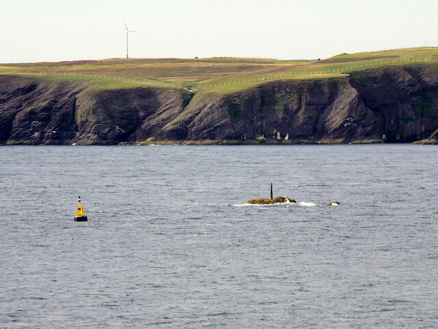
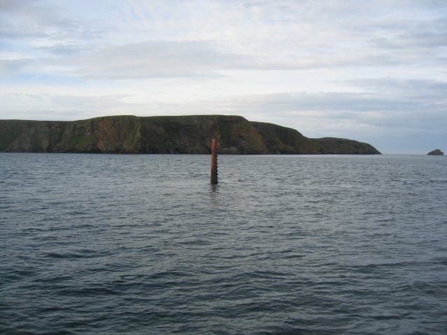
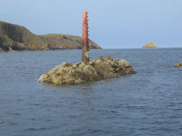
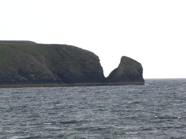
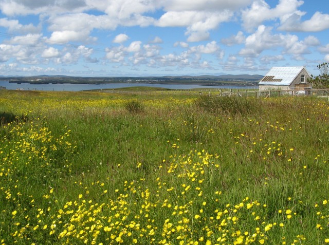
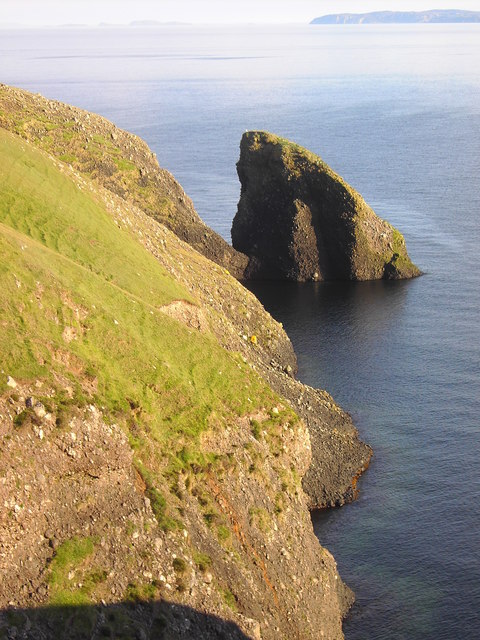
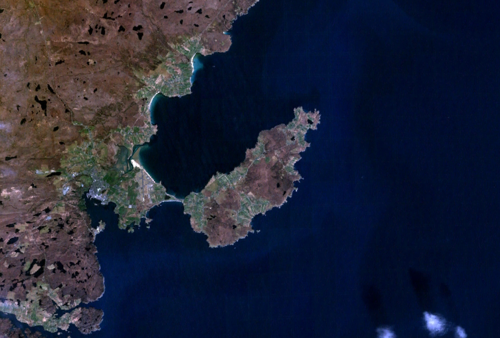
Geodha na Làire is a captivating coastal feature located in Ross-shire, Scotland. Positioned on the northwest coast of the Highlands, it is specifically situated on the edge of the village of Aultbea. Geodha na Làire is best described as a headland or point that extends out into the shimmering waters of Loch Ewe.
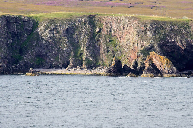
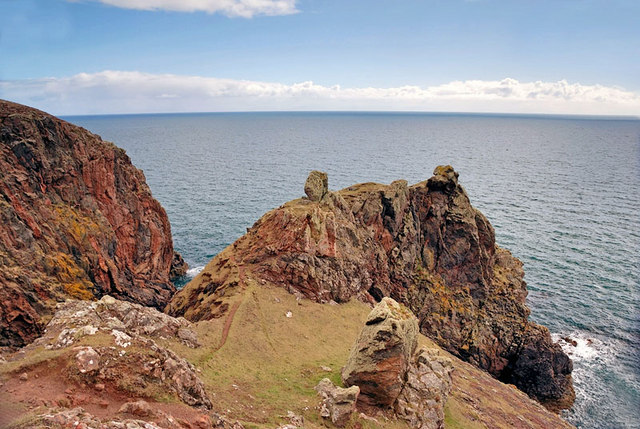
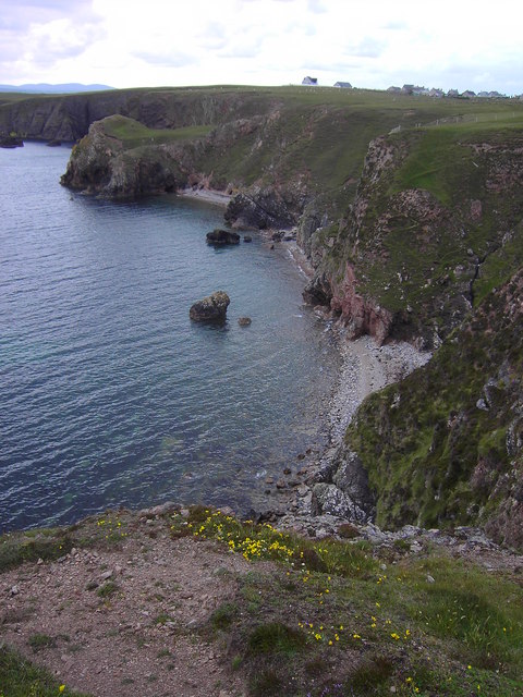
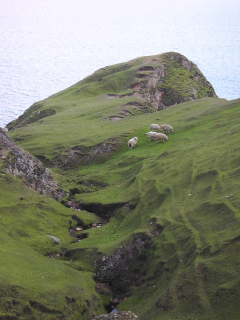
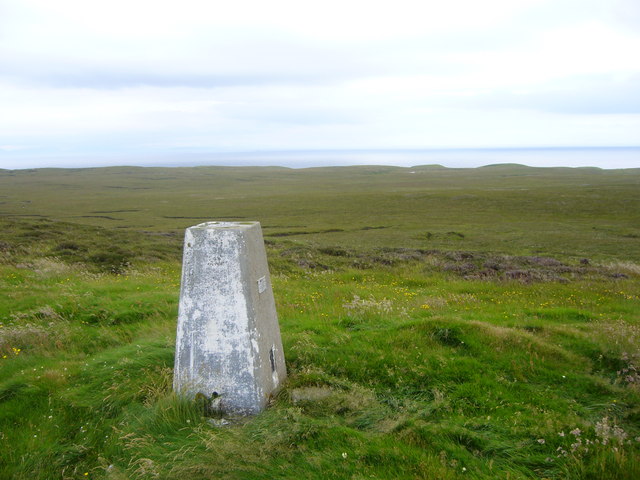
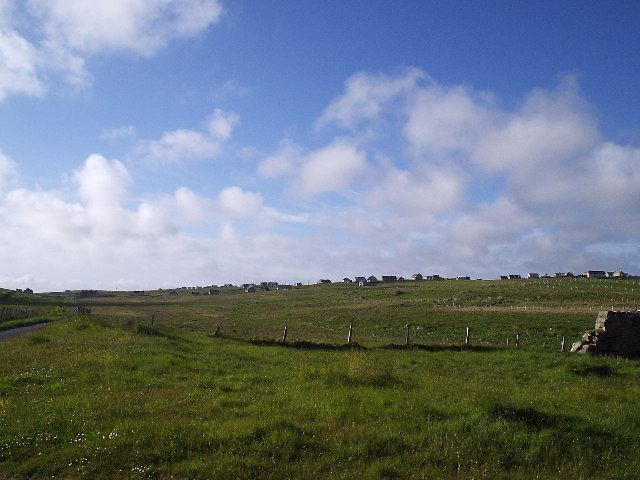
This stunning coastal feature is characterized by its rugged and dramatic landscape, which offers breathtaking panoramic views of the surrounding area. The headland is predominantly composed of rugged cliffs and rocky outcrops, providing a natural barrier against the crashing waves of the Atlantic Ocean. The rocky terrain is interspersed with patches of lush green vegetation, adding to its picturesque beauty.
Geodha na Làire serves as a popular destination for both locals and tourists, who are drawn to its natural charm and scenic allure. Its strategic location offers a vantage point for observing the diverse wildlife that inhabits the area, including seals, seabirds, and even the occasional dolphin or whale.
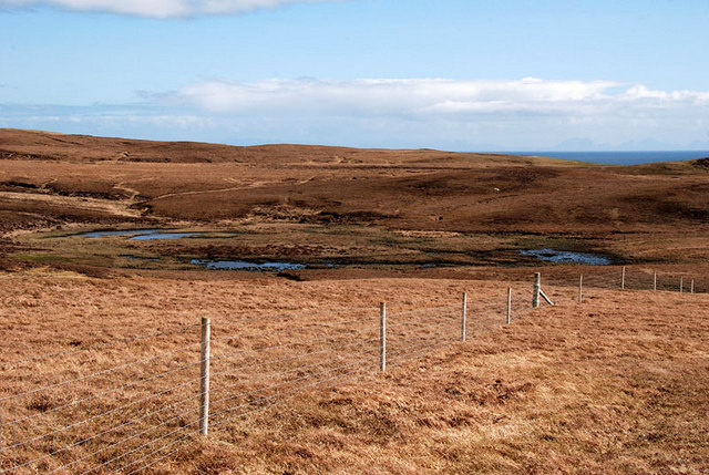
The headland is easily accessible via a well-maintained footpath that winds its way along the coastline. Visitors can embark on leisurely walks, taking in the awe-inspiring vistas and immersing themselves in the tranquility of the area. Additionally, there are picnic areas and benches strategically placed along the route, encouraging visitors to pause and appreciate the breathtaking surroundings.
Overall, Geodha na Làire is a captivating coastal feature that showcases the natural beauty of Ross-shire. Its rugged cliffs, picturesque views, and abundant wildlife make it a must-visit destination for nature enthusiasts and those seeking solace in the stunning Scottish Highlands.
If you have any feedback on the listing, please let us know in the comments section below.
Geodha na Làire Images
Images are sourced within 2km of 58.180493/-6.2498472 or Grid Reference NB5029. Thanks to Geograph Open Source API. All images are credited.


Geodha na Làire is located at Grid Ref: NB5029 (Lat: 58.180493, Lng: -6.2498472)
Unitary Authority: Na h-Eileanan an Iar
Police Authority: Highlands and Islands
What 3 Words
///hope.utter.natural. Near Stornoway, Na h-Eileanan Siar
Related Wikis

Knock, Isle of Lewis
Knock, from the Gaelic, An Cnoc (a small hill), is a village in Point peninsula on the Isle of Lewis in the Outer Hebrides of Scotland. Point (an Rubha...

Bayble Island
Bayble Island lies at the southern end of Bayble Bay (Pabail Bay). It consists of two islands (Eilean Mòr Phabaill and Eilean Beag Phabaill), but these...
Bayble
Bayble (Scottish Gaelic: Pabail) is a large village in Point (An Rubha), on the Isle of Lewis, 6 miles (10 kilometres) east of Stornoway. Bayble is also...

Aignish
Aignish (Scottish Gaelic: Aiginis) is located northwest of Knock and east of Stornoway on the east coast of the Isle of Lewis, in the Outer Hebrides, Scotland...

Branahuie
Branahuie (Scottish Gaelic: Bràigh na h-Aoidhe) is a village on the Isle of Lewis in the Outer Hebrides, Scotland. Branahuie is within the parish of Stornoway...

Garrabost
Garrabost (Scottish Gaelic: Garrabost) is a village in the Point (An Rubha) peninsula isthmus on the east coast of the Isle of Lewis, in the Outer Hebrides...
Point, Lewis
Point (Scottish Gaelic: An Rubha), also known as the Eye Peninsula, is a peninsula some 11 km long in the Outer Hebrides (or Western Isles), Scotland....

Holm, Lewis
Holm Village (Scottish Gaelic: Tolm) is a village in the Scottish Outer Hebrides, on the Isle of Lewis near Stornoway. The modern area of Holm can be split...
Have you been to Geodha na Làire?
Leave your review of Geodha na Làire below (or comments, questions and feedback).