Ath an Teampuill
Sea, Estuary, Creek in Ross-shire
Scotland
Ath an Teampuill

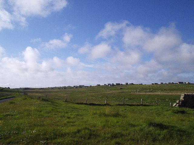
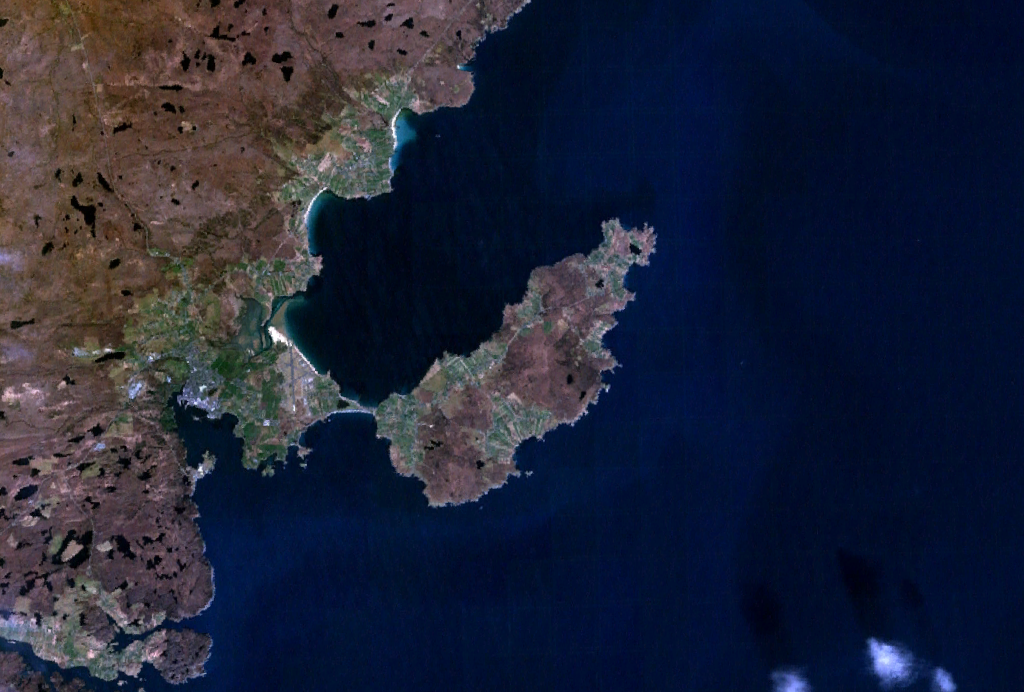
Ath an Teampuill, located in Ross-shire, Scotland, is a picturesque coastal area that encompasses a sea, estuary, and creek. It is renowned for its natural beauty and diverse wildlife, making it a popular destination for nature enthusiasts and outdoor adventurers.
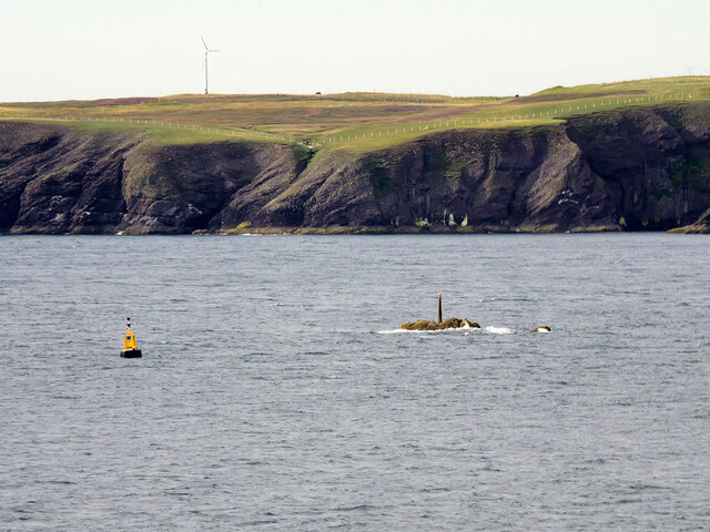
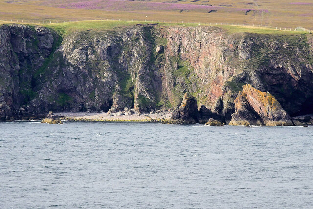
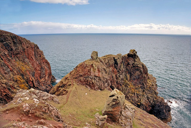
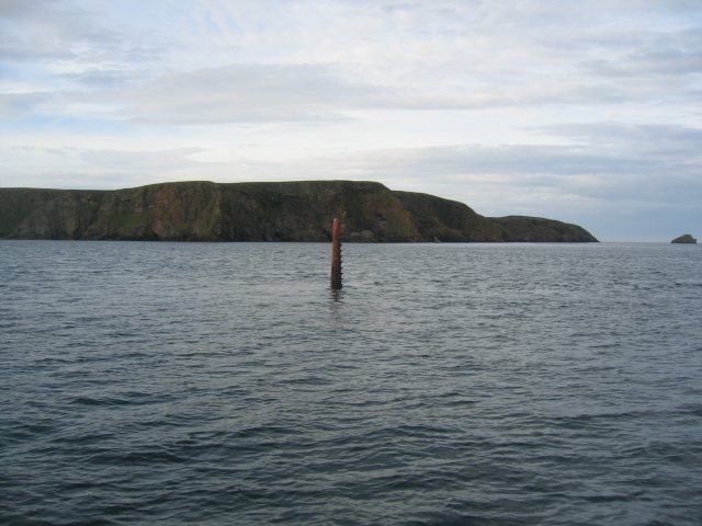
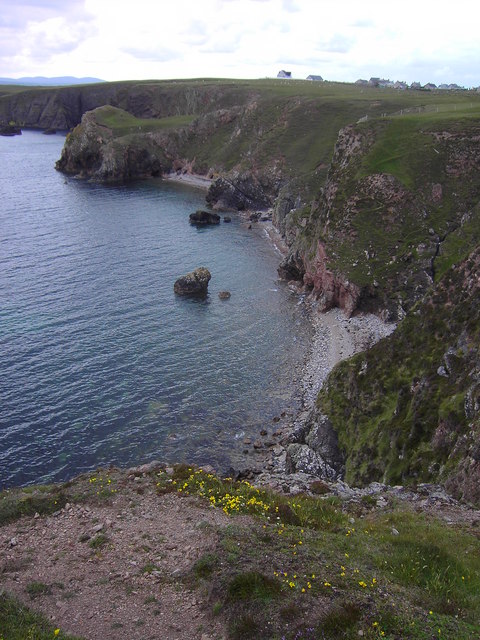
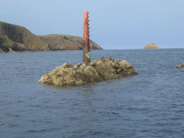
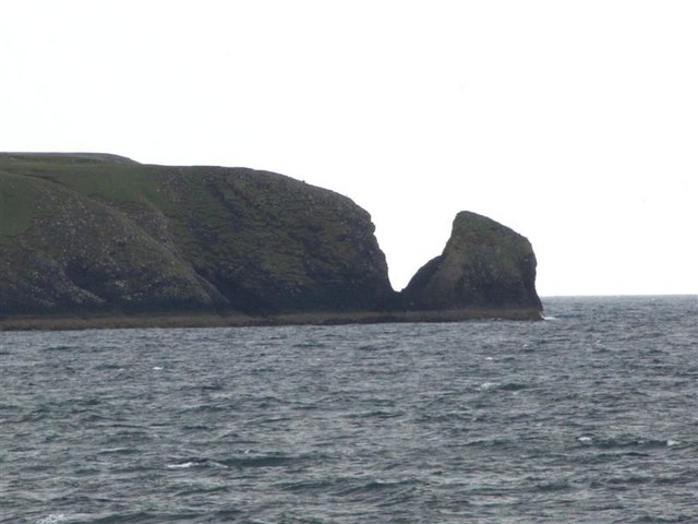
The sea surrounding Ath an Teampuill offers stunning views of the North Atlantic Ocean. Its crystal-clear waters are home to a rich marine ecosystem, including various species of fish, seals, and seabirds. Visitors can often spot dolphins and porpoises frolicking in the waves, adding to the area's allure.
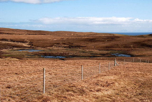
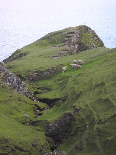
The estuary at Ath an Teampuill is a haven for birdwatchers. It serves as a vital feeding ground and nesting site for a wide range of bird species, including waders, gulls, and terns. During the migratory season, the estuary becomes a temporary home for countless birds, attracting bird enthusiasts from far and wide.
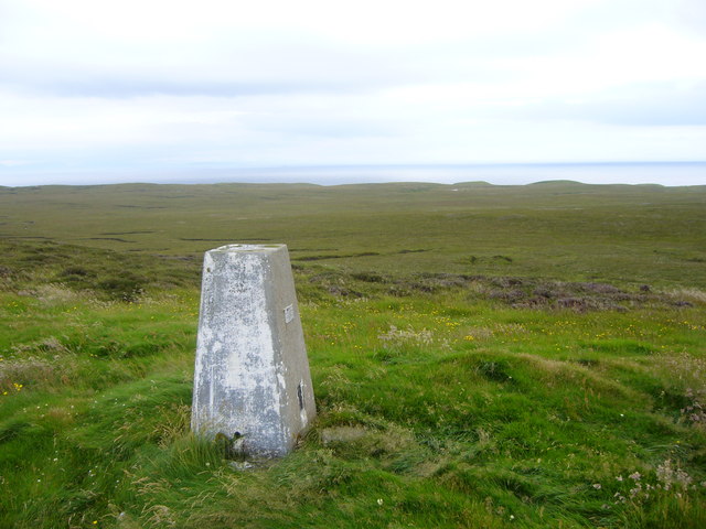
A notable feature of Ath an Teampuill is its tranquil creek. Nestled amidst lush greenery and rolling hills, the creek offers a peaceful retreat for visitors seeking solace in nature. The calming sound of flowing water and the sight of wildflowers blooming along its banks create a serene atmosphere.
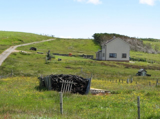
In addition to its natural wonders, Ath an Teampuill has a rich cultural heritage. The area is dotted with ancient ruins, including a historic temple that gives the place its name. These remnants of the past provide a glimpse into the area's fascinating history and add an element of intrigue to the landscape.
Overall, Ath an Teampuill in Ross-shire is a captivating coastal area that combines breathtaking natural beauty with a rich cultural heritage. Whether exploring the sea, estuary, or creek, visitors are sure to be enthralled by the tranquility and splendor of this remarkable destination.
If you have any feedback on the listing, please let us know in the comments section below.
Ath an Teampuill Images
Images are sourced within 2km of 58.180715/-6.2396764 or Grid Reference NB5029. Thanks to Geograph Open Source API. All images are credited.


Ath an Teampuill is located at Grid Ref: NB5029 (Lat: 58.180715, Lng: -6.2396764)
Unitary Authority: Na h-Eileanan an Iar
Police Authority: Highlands and Islands
What 3 Words
///heat.smarting.flexed. Near Stornoway, Na h-Eileanan Siar
Related Wikis

Bayble Island
Bayble Island lies at the southern end of Bayble Bay (Pabail Bay). It consists of two islands (Eilean Mòr Phabaill and Eilean Beag Phabaill), but these...
Bayble
Bayble (Scottish Gaelic: Pabail) is a large village in Point (An Rubha), on the Isle of Lewis, 6 miles (10 kilometres) east of Stornoway. Bayble is also...

Knock, Isle of Lewis
Knock, from the Gaelic, An Cnoc (a small hill), is a village in Point peninsula on the Isle of Lewis in the Outer Hebrides of Scotland. Point (an Rubha...

Aignish
Aignish (Scottish Gaelic: Aiginis) is located northwest of Knock and east of Stornoway on the east coast of the Isle of Lewis, in the Outer Hebrides, Scotland...

Garrabost
Garrabost (Scottish Gaelic: Garrabost) is a village in the Point (An Rubha) peninsula isthmus on the east coast of the Isle of Lewis, in the Outer Hebrides...
Point, Lewis
Point (Scottish Gaelic: An Rubha), also known as the Eye Peninsula, is a peninsula some 11 km long in the Outer Hebrides (or Western Isles), Scotland....

Branahuie
Branahuie (Scottish Gaelic: Bràigh na h-Aoidhe) is a village on the Isle of Lewis in the Outer Hebrides, Scotland. Branahuie is within the parish of Stornoway...
Melbost
Melbost (Scottish Gaelic: Mealabost) is a traditionally Gaelic-speaking village in Point on the east coast of the Isle of Lewis, in Scotland's north-west...
Have you been to Ath an Teampuill?
Leave your review of Ath an Teampuill below (or comments, questions and feedback).