Aoineadh Bàn
Coastal Feature, Headland, Point in Argyllshire
Scotland
Aoineadh Bàn

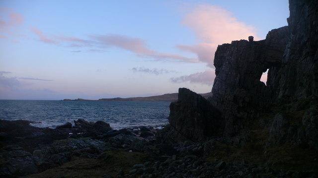
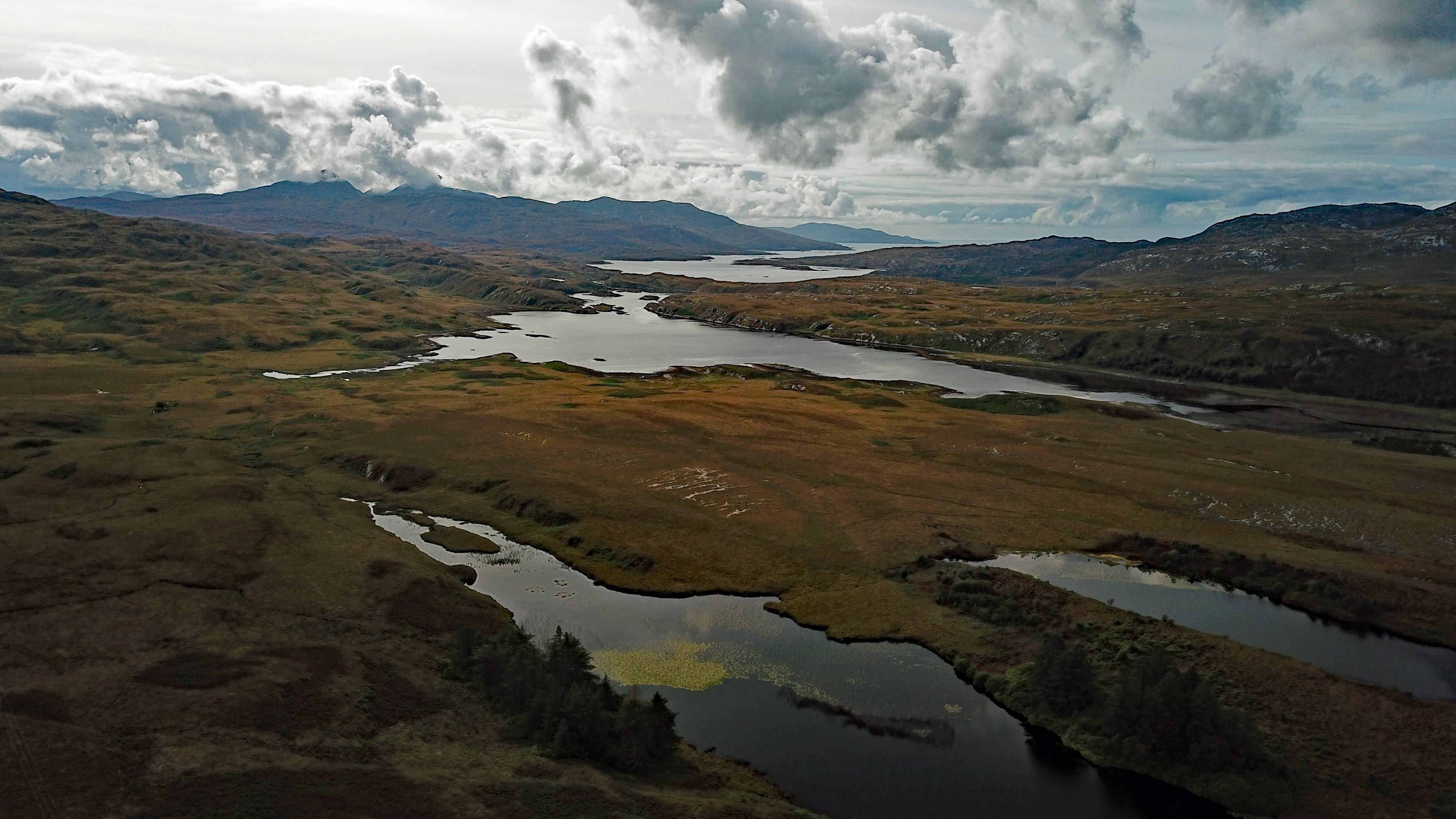
Aoineadh Bàn, located in Argyllshire, Scotland, is a prominent coastal feature known for its picturesque beauty and unique geological formations. This headland, also referred to as a point, is nestled along the western coast of Scotland, overlooking the vast expanse of the Atlantic Ocean.
Rising majestically from the surrounding landscape, Aoineadh Bàn boasts rugged cliffs that reach heights of up to 100 meters, creating a dramatic and awe-inspiring sight. These cliffs are composed of layers of sedimentary rock, with distinct bands of different colors, giving the headland a visually striking appearance.
The location of Aoineadh Bàn makes it a haven for various species of seabirds, including gannets, puffins, and guillemots, which nest and thrive in the crevices and ledges of the cliffs. Birdwatchers flock to this area to witness the impressive aerial displays and observe the diverse avian population.
Visitors to Aoineadh Bàn can take advantage of the numerous walking trails that wind their way around the headland, offering breathtaking views of the surrounding coastline. These trails provide an opportunity to explore the diverse flora and fauna that call this area home, including wildflowers, heather, and mosses.
In addition to its natural beauty, Aoineadh Bàn holds historical significance, with remnants of ancient settlements and archaeological sites scattered throughout the area. These sites offer a glimpse into the rich cultural heritage of the region.
Overall, Aoineadh Bàn is a captivating coastal feature that showcases the stunning natural beauty of Argyllshire. Its towering cliffs, diverse wildlife, and historical importance make it a must-visit destination for nature enthusiasts and history buffs alike.
If you have any feedback on the listing, please let us know in the comments section below.
Aoineadh Bàn Images
Images are sourced within 2km of 55.947062/-6.0117242 or Grid Reference NR4979. Thanks to Geograph Open Source API. All images are credited.


Aoineadh Bàn is located at Grid Ref: NR4979 (Lat: 55.947062, Lng: -6.0117242)
Unitary Authority: Argyll and Bute
Police Authority: Argyll and West Dunbartonshire
What 3 Words
///soon.summer.punters. Near Craighouse, Argyll & Bute
Nearby Locations
Related Wikis
Loch Tarbert, Jura
Loch Tarbert is a sea loch on the west coast of Jura, an island in Scotland. As the name Tarbert suggests, it comes close to cutting the island in half...

Beinn an Òir
Beinn an Òir (Gaelic for "mountain of gold") is the highest peak of the Paps of Jura on the island of Jura, Scotland. It is the highest peak on the island...

Beinn Shiantaidh
Beinn Shiantaidh (Scottish Gaelic for 'holy mountain') is the second highest peak of the Paps of Jura on the island of Jura, Scotland. It stands at 757...

Beinn a' Chaolais
Beinn a' Chaolais (Gaelic: mountain of the sound or strait) is the lowest peak of the Paps of Jura on the island of Jura, Scotland.It stands at 733 metres...
Nearby Amenities
Located within 500m of 55.947062,-6.0117242Have you been to Aoineadh Bàn?
Leave your review of Aoineadh Bàn below (or comments, questions and feedback).