Rubha an Iasgaich
Coastal Feature, Headland, Point in Inverness-shire
Scotland
Rubha an Iasgaich
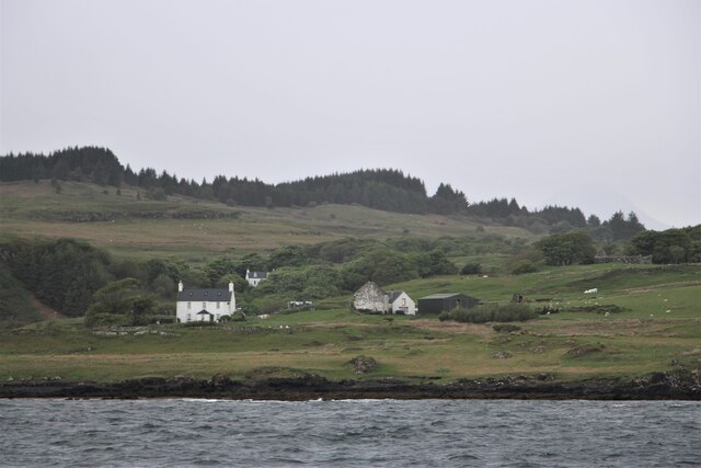
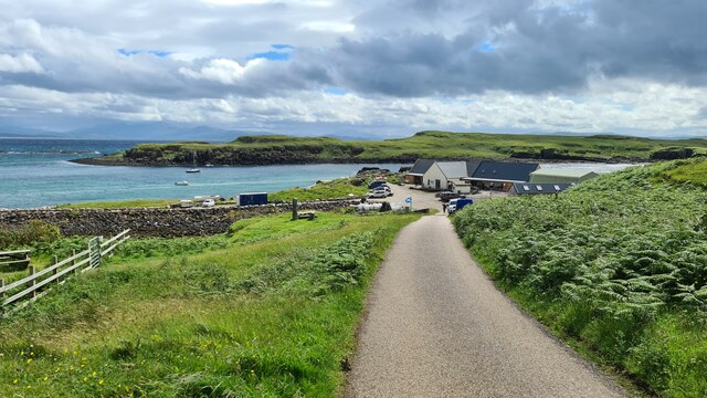
Rubha an Iasgaich is a prominent coastal feature located in Inverness-shire, Scotland. Situated on the western coast of the country, it is a headland that stretches out into the North Atlantic Ocean. The name "Rubha an Iasgaich" translates to "Headland of the Fishing" in English, reflecting its historical significance as a fishing spot.
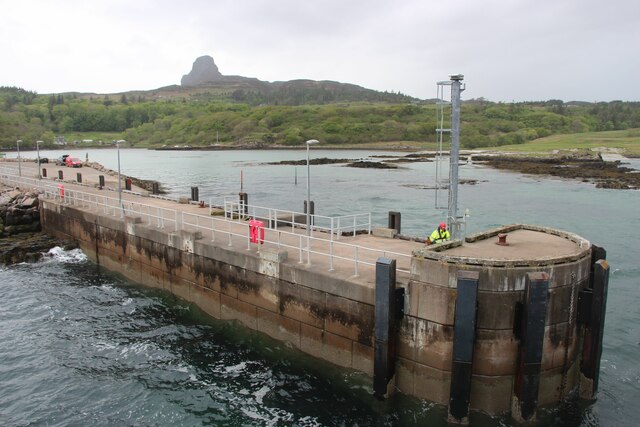
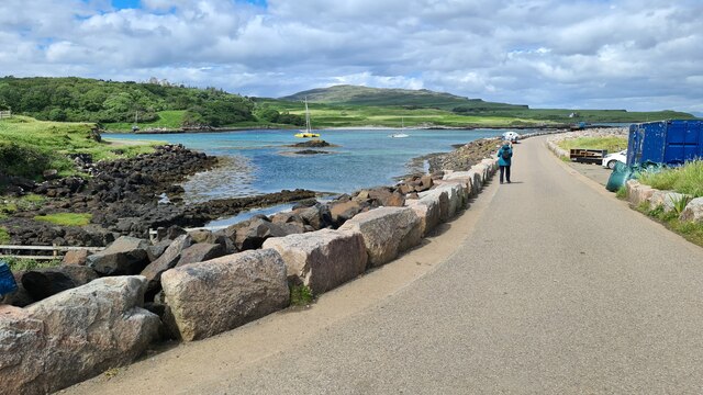
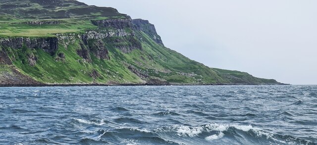
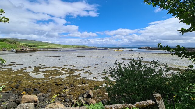
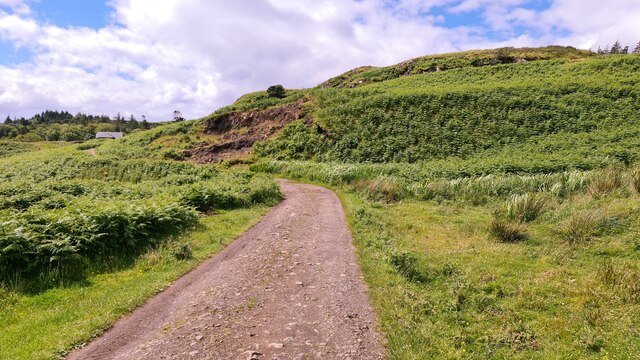
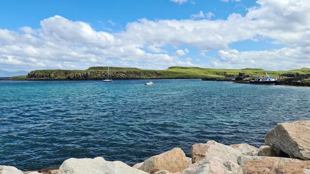
This headland is characterized by its rugged and rocky terrain, with steep cliffs that drop down to the sea. The cliffs provide a natural vantage point, offering breathtaking panoramic views of the surrounding landscape and the vast ocean. The area is known for its stunning natural beauty, attracting nature enthusiasts and photographers from all over.
Rubha an Iasgaich also serves as an important habitat for various bird species. The cliffs provide nesting grounds for seabirds such as gulls, guillemots, and razorbills. Birdwatchers can often spot these magnificent creatures soaring through the air or perched on the rocky ledges.
Due to its location on the western coast, the headland is also subject to the force of the Atlantic waves. This makes it an ideal location for surfing and other water sports, attracting thrill-seekers and adventurers.
Overall, Rubha an Iasgaich is a captivating coastal feature that offers a unique blend of natural beauty, wildlife, and recreational opportunities. Whether one is seeking a peaceful retreat or an adrenaline-filled adventure, this headland in Inverness-shire has something to offer for everyone.
If you have any feedback on the listing, please let us know in the comments section below.
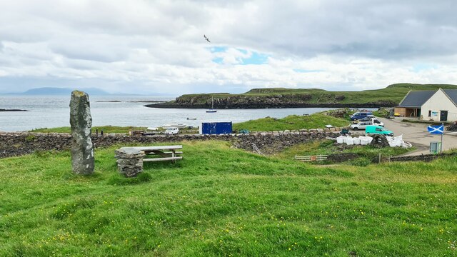
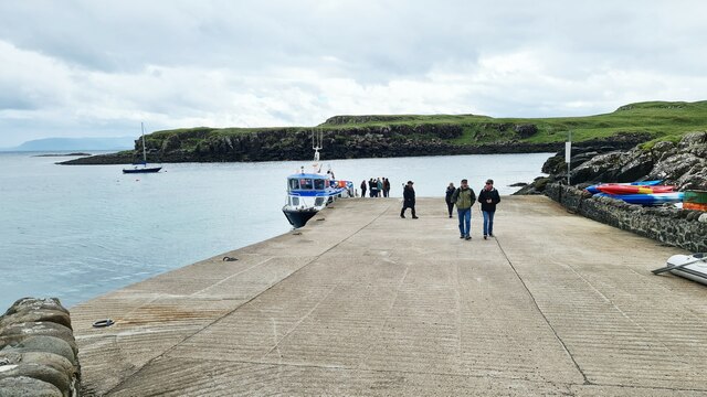
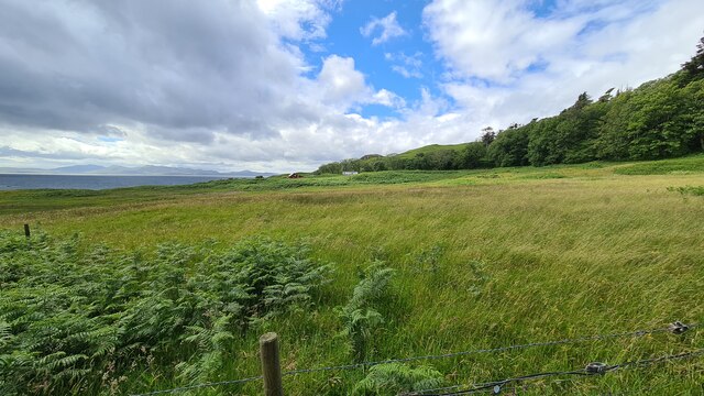
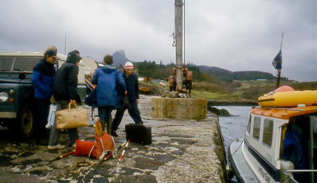
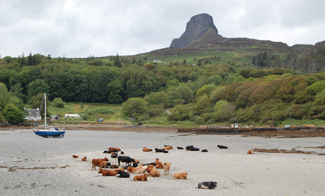
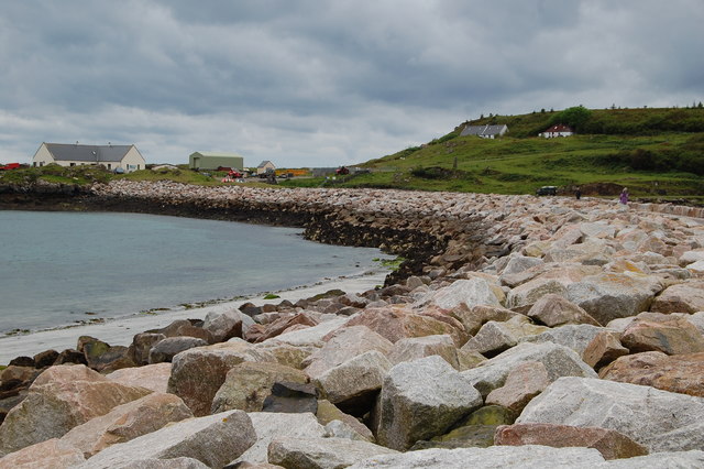
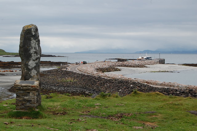
Rubha an Iasgaich Images
Images are sourced within 2km of 56.870429/-6.1205934 or Grid Reference NM4883. Thanks to Geograph Open Source API. All images are credited.


Rubha an Iasgaich is located at Grid Ref: NM4883 (Lat: 56.870429, Lng: -6.1205934)
Unitary Authority: Highland
Police Authority: Highlands and Islands
What 3 Words
///tomato.jolly.searching. Near Arisaig, Highland
Nearby Locations
Related Wikis

Eilean Chathastail
Eilean Chathastail (Eng: Castle Island) is one of the Small Isles in the Inner Hebrides of Scotland. == Geography == Eilean Chathastail...

Galmisdale
Galmisdale is the main port of the island of Eigg, one of the Small Isles of the Inner Hebrides. It is in the Scottish council area of Highland. ��2�...

An Sgùrr (Eigg)
An Sgùrr is the highest hill on the Inner Hebridean island of Eigg, Lochaber, Highland, Scotland. It was formed 58.72 ± 0.07 million years ago; the result...

Eigg
Eigg ( eg; Scottish Gaelic: Eige; Scots: Eigg) is one of the Small Isles in the Scottish Inner Hebrides. It lies to the south of the Isle of Skye and to...
Nearby Amenities
Located within 500m of 56.870429,-6.1205934Have you been to Rubha an Iasgaich?
Leave your review of Rubha an Iasgaich below (or comments, questions and feedback).