Eilean Chathastail
Island in Inverness-shire
Scotland
Eilean Chathastail
Eilean Chathastail, also known as Castle Island, is a small island located in Inverness-shire, Scotland. It is situated on the eastern shore of Loch Ness, approximately 20 miles southwest of the city of Inverness. The island measures around 300 meters long and 200 meters wide, covering a total area of approximately 0.05 square kilometers.
The island gets its name from the ruins of a medieval castle, known as Castle Urquhart, which stands on its southern end. Castle Urquhart is one of the most iconic castles in Scotland and is a popular tourist attraction, offering breathtaking views of Loch Ness and the surrounding landscapes.
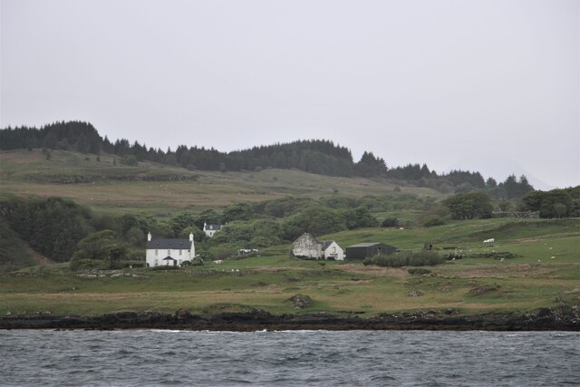
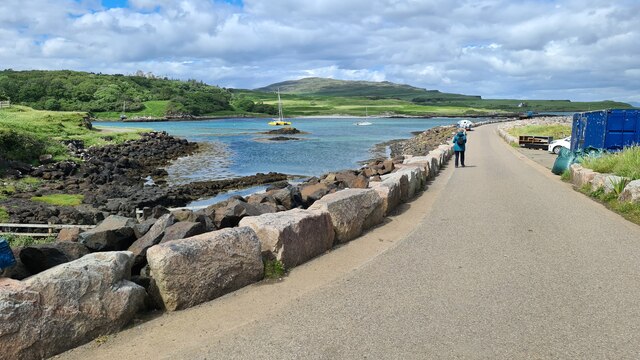
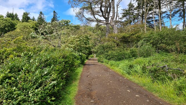
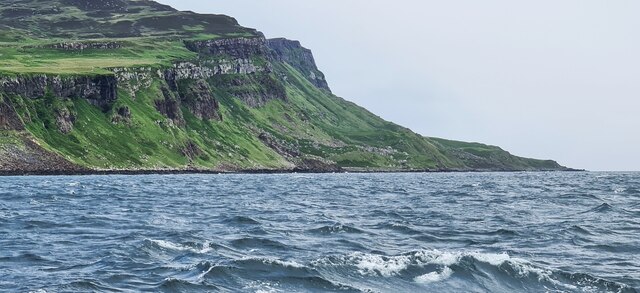
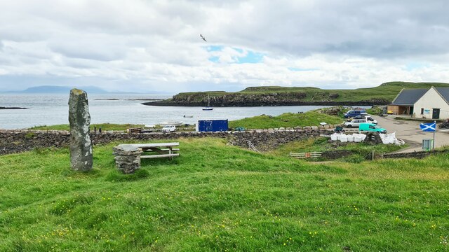
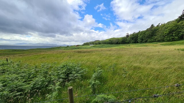
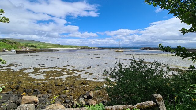
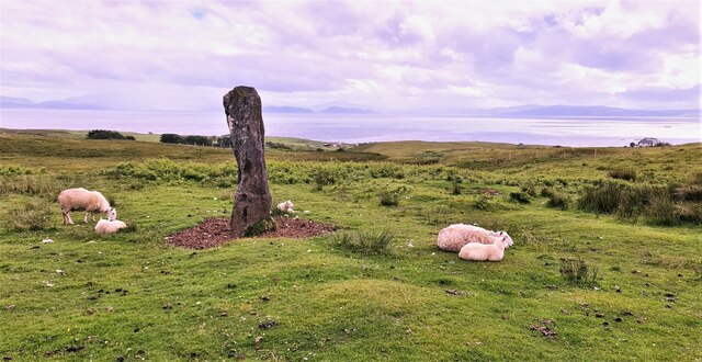
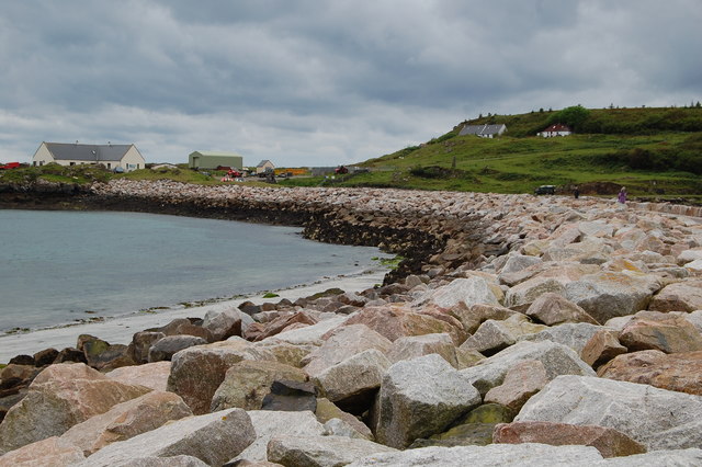
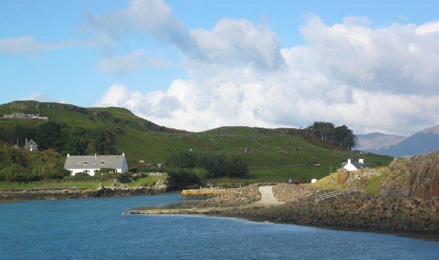
Although Eilean Chathastail is predominantly known for its castle ruins, the island itself is rich in natural beauty. Lush green vegetation covers most of the island, and the shores are lined with rocky outcrops and small pebbly beaches.
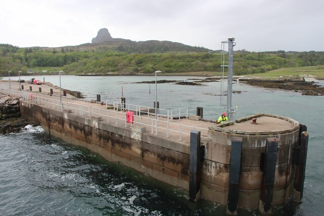
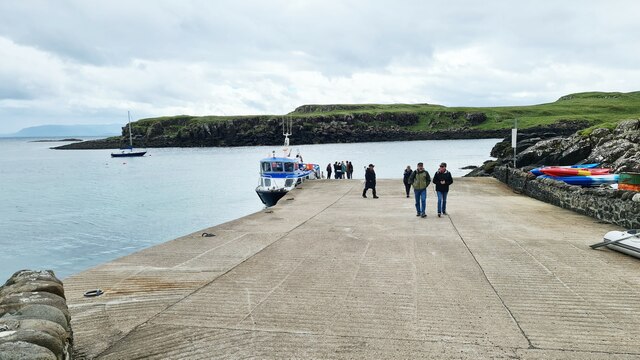
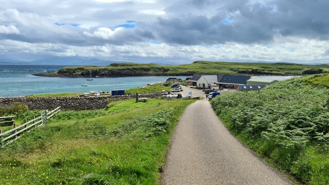
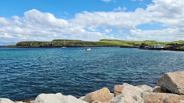
Access to Eilean Chathastail is primarily by boat, with regular tours available from various points along Loch Ness. Visitors can explore the island's castle ruins, wander through the picturesque landscapes, and enjoy stunning views of the Loch. Additionally, Eilean Chathastail is often referred to as a potential location for the legendary Loch Ness Monster, adding to its allure as a tourist destination.
Overall, Eilean Chathastail offers a unique blend of history, natural beauty, and folklore, making it a must-visit location for those exploring Inverness-shire and the Loch Ness area.
If you have any feedback on the listing, please let us know in the comments section below.
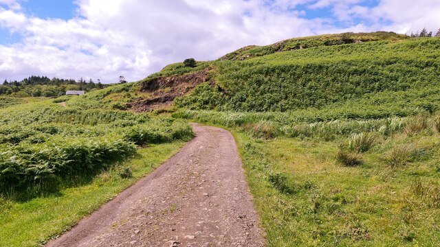
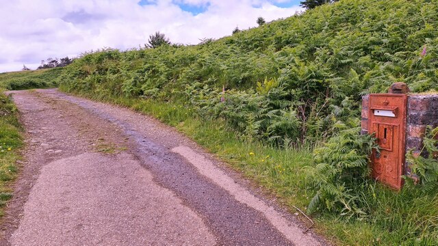
Eilean Chathastail Images
Images are sourced within 2km of 56.872862/-6.1256076 or Grid Reference NM4883. Thanks to Geograph Open Source API. All images are credited.

Eilean Chathastail is located at Grid Ref: NM4883 (Lat: 56.872862, Lng: -6.1256076)
Unitary Authority: Highland
Police Authority: Highlands and Islands
What 3 Words
///eliminate.either.insurers. Near Arisaig, Highland
Nearby Locations
Related Wikis

Eilean Chathastail
Eilean Chathastail (Eng: Castle Island) is one of the Small Isles in the Inner Hebrides of Scotland. == Geography == Eilean Chathastail...

Galmisdale
Galmisdale is the main port of the island of Eigg, one of the Small Isles of the Inner Hebrides. It is in the Scottish council area of Highland. ��2�...

An Sgùrr (Eigg)
An Sgùrr is the highest hill on the Inner Hebridean island of Eigg, Lochaber, Highland, Scotland. It was formed 58.72 ± 0.07 million years ago; the result...

Eigg
Eigg ( eg; Scottish Gaelic: Eige; Scots: Eigg) is one of the Small Isles in the Scottish Inner Hebrides. It lies to the south of the Isle of Skye and to...

Cleadale
Cleadale (Scottish Gaelic: Clèadail) is a settlement on the north west side of the island of Eigg, in the Small Isles of Scotland and is in the council...
Port Mòr
Port Mòr is a harbour and settlement on the Isle of Muck in the Inner Hebrides off the west coast of Scotland.Port Mòr is the most populated settlement...
Muck, Scotland
Muck (; Scottish Gaelic: Eilean nam Muc) is the smallest of four main islands in the Small Isles, part of the Inner Hebrides of Scotland. Today, much of...
Related Videos

Everything you wanted to know about a holiday on @IsleofEigg but were afraid to ask! #Eigg
In episode 6, the final part of our Eigg series, join us as we spill the beans on everything – from getting there to munching on local ...


A day-trip to the Isle of Eigg inc the CalMac ferry from Mallaig: my first steps on the Small Isles!
This part of Scotland is up there with my absolute favourites - the number of times I've stood on the beautiful beaches around ...

Nearby Amenities
Located within 500m of 56.872862,-6.1256076Have you been to Eilean Chathastail?
Leave your review of Eilean Chathastail below (or comments, questions and feedback).