Barn Gallac
Coastal Feature, Headland, Point in Cornwall
England
Barn Gallac

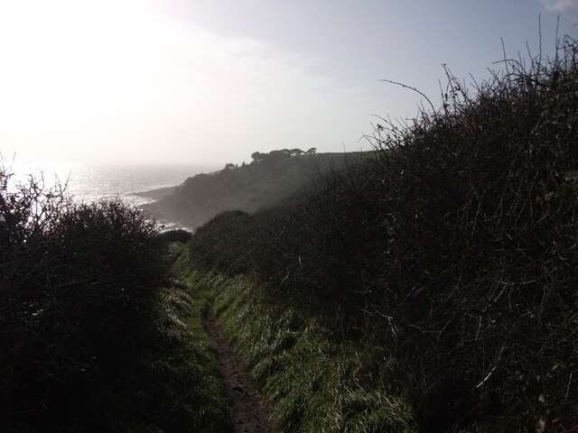
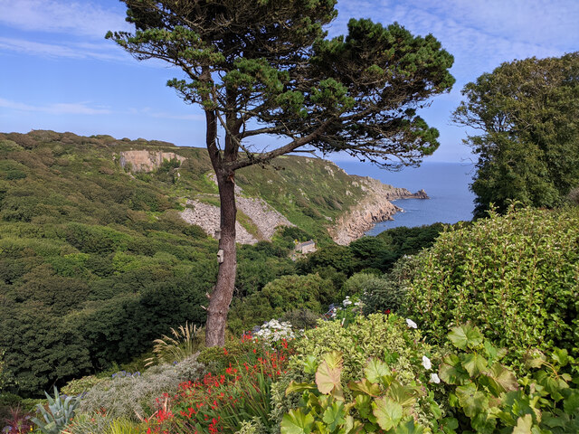
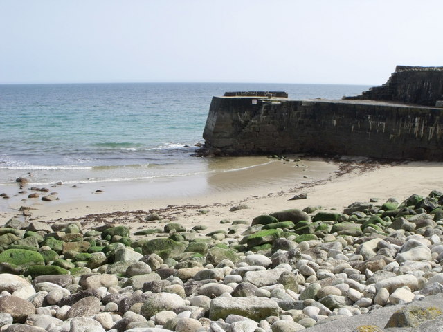
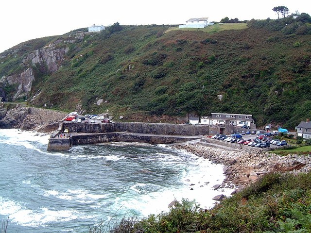
Barn Gallac is a prominent coastal feature located in Cornwall, England. It is a headland that juts out into the Atlantic Ocean, forming a distinctive point along the rugged coastline. Positioned between the popular towns of St Ives and Land's End, Barn Gallac is renowned for its natural beauty and dramatic scenery.
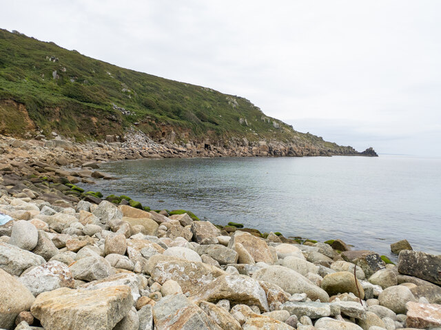
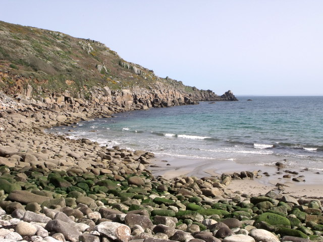
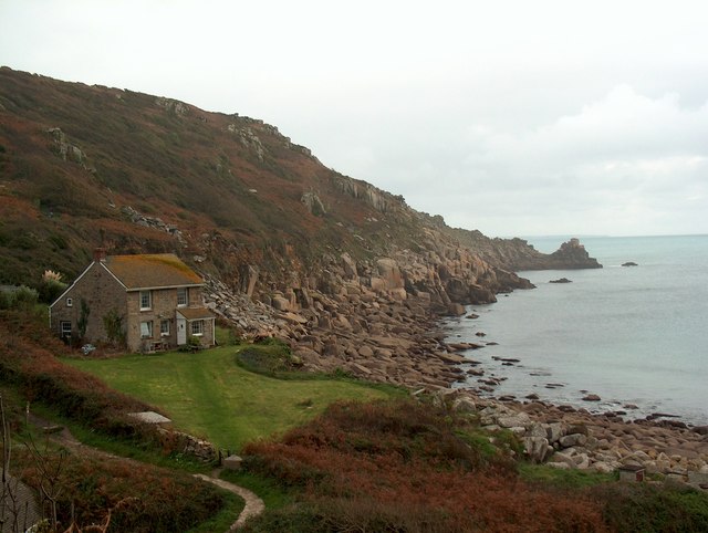
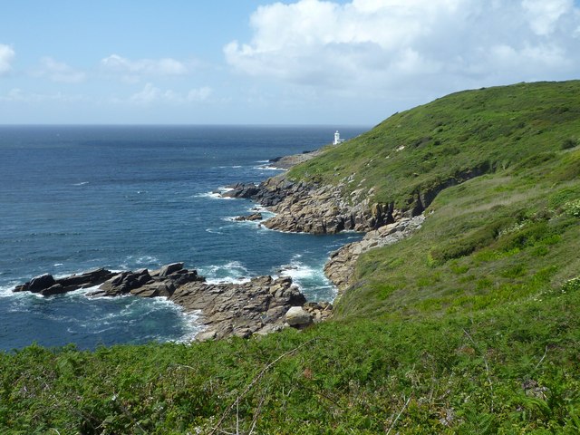
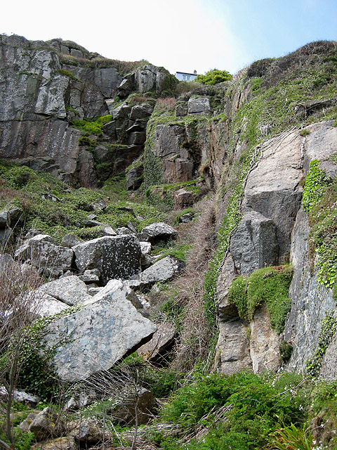
This headland is characterized by its towering cliffs, which rise majestically from the sea, providing breathtaking views of the surrounding coastline. The cliffs are composed of granite, giving them a unique and striking appearance. Due to their height and exposed location, they are often subject to strong winds and crashing waves, creating a dramatic spectacle for visitors.
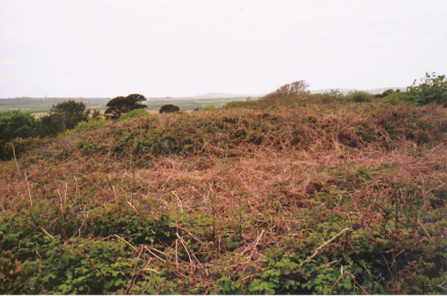
Barn Gallac is also home to a diverse range of flora and fauna. The headland is covered in lush vegetation, including heather, gorse, and various wildflowers. Seabirds such as gulls, puffins, and cormorants can be spotted nesting in the cliffs, adding to the area's ecological importance.
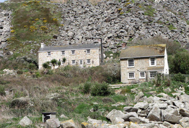
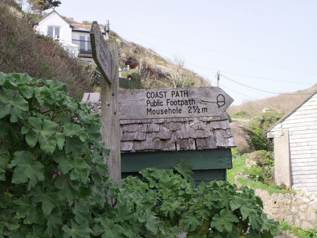
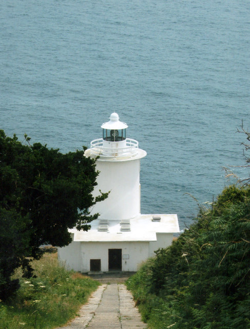
For visitors, Barn Gallac offers numerous recreational opportunities. Hiking trails along the headland provide access to stunning viewpoints and secluded coves. These trails are suitable for all levels of hikers, with options for leisurely walks or more challenging treks. The headland is also a popular spot for birdwatching, photography, and picnicking.
Overall, Barn Gallac is a captivating coastal feature that showcases the natural beauty and ruggedness of Cornwall's coastline. Its towering cliffs, diverse wildlife, and picturesque views make it a must-visit destination for nature enthusiasts and outdoor lovers alike.
If you have any feedback on the listing, please let us know in the comments section below.
Barn Gallac Images
Images are sourced within 2km of 50.061058/-5.5556237 or Grid Reference SW4523. Thanks to Geograph Open Source API. All images are credited.


Barn Gallac is located at Grid Ref: SW4523 (Lat: 50.061058, Lng: -5.5556237)
Unitary Authority: Cornwall
Police Authority: Devon and Cornwall
What 3 Words
///fidgeted.dusty.weddings. Near St Buryan, Cornwall
Nearby Locations
Related Wikis
Lamorna
Lamorna (Cornish: Nansmornow) is a village, valley and cove in west Cornwall, England, UK. It is on the Penwith peninsula approximately 4 miles (6 km)...

Castallack
Castallack is a hamlet in the civil parish of St Buryan, Lamorna and Paul in west Cornwall, England, UK. It is on a minor road between Sheffied and Lamorna...
Tregurnow
Tregurnow is a settlement in St Buryan civil parish on the Penwith peninsula in Cornwall, England, United Kingdom. At Tregurnow farm is an interesting...
Castallack Round
Castallack Round or Roundago is a prehistoric site near Castallack in Cornwall, England. It is a scheduled monument. A "round" is a small circular embanked...
Nearby Amenities
Located within 500m of 50.061058,-5.5556237Have you been to Barn Gallac?
Leave your review of Barn Gallac below (or comments, questions and feedback).