Kemyel Rock

Island in Cornwall

England

Kemyel Rock

Lamorna Cove Lamorna Cove viewed from the carpark above the slipway.
Lamorna Cove Credit: Kevin Pearson

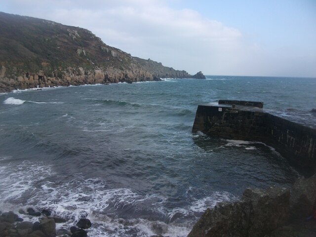
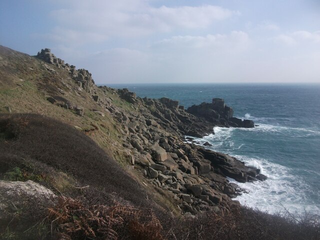
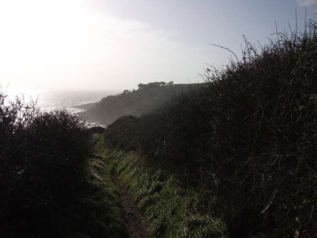
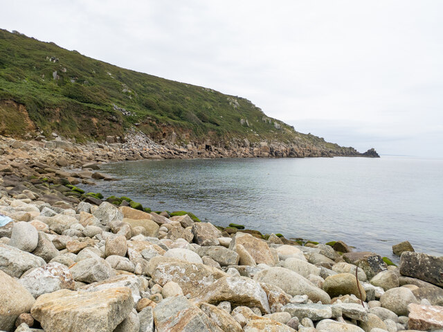
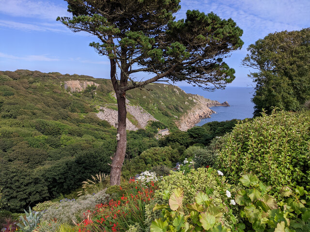
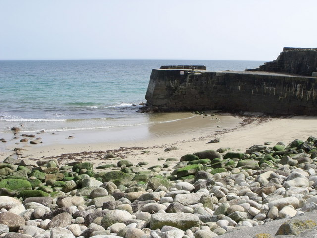
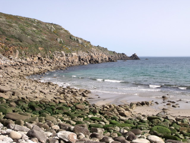
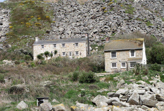
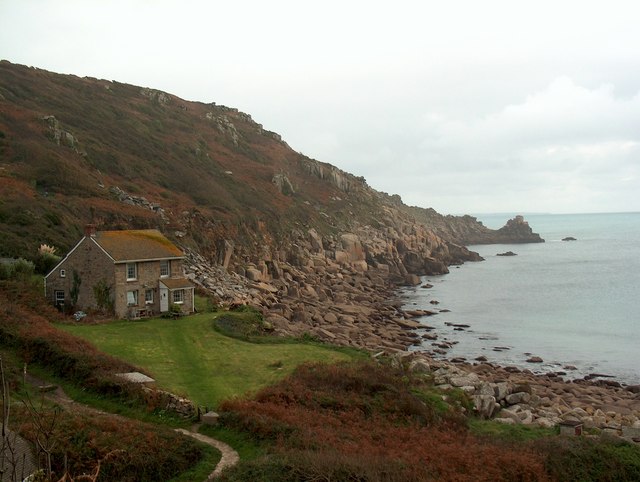
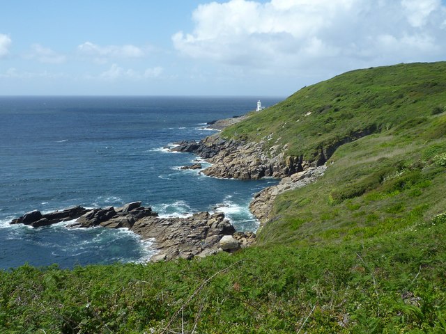
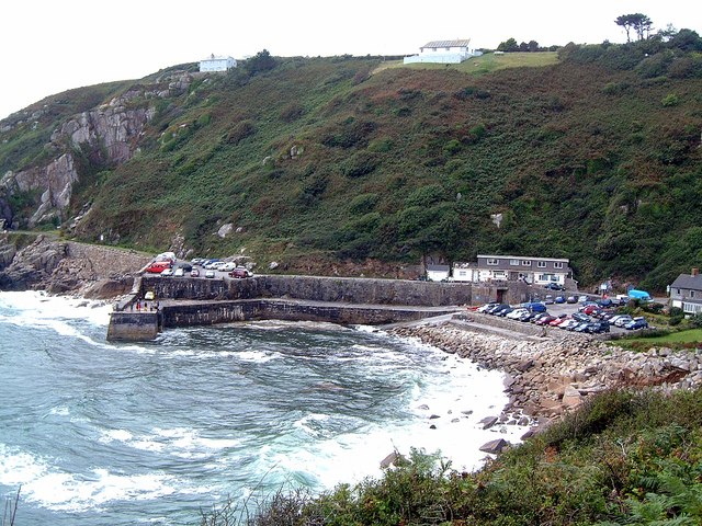
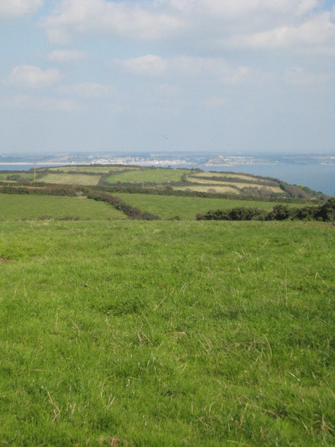
Kemyel Rock is a small island located off the coast of Cornwall, England. It is situated in the Atlantic Ocean, about 2 miles southwest of Lamorna Cove. The island is known for its stunning natural beauty, with rugged cliffs and crystal-clear turquoise waters.

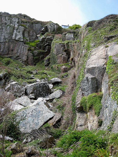
Kemyel Rock is relatively small, measuring only about 0.2 hectares in size. It is primarily composed of granite, which gives it a unique and distinctive appearance. The island is uninhabited and lacks any permanent structures or facilities. It is, however, a popular spot for tourists and nature enthusiasts who come to admire its picturesque landscape and abundant wildlife.

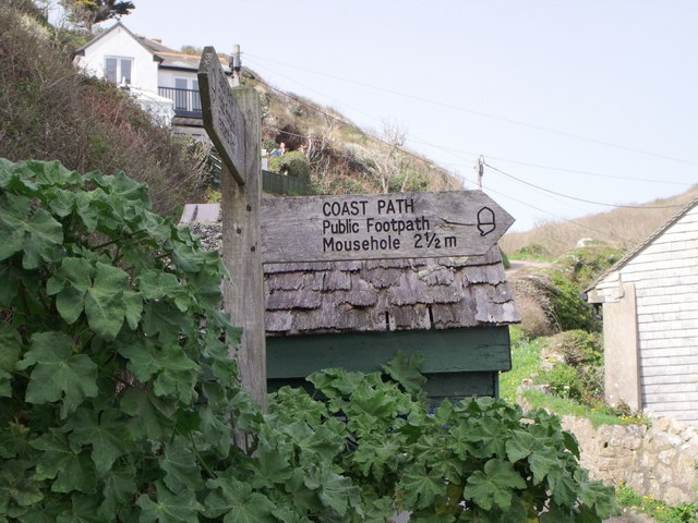
The island is accessible by boat, with several local tour operators offering trips to Kemyel Rock during the summer months. Visitors can enjoy activities such as snorkeling, diving, and birdwatching. The surrounding waters are teeming with marine life, including seals, dolphins, and a variety of fish species.

Additionally, Kemyel Rock is home to a rich bird population, with numerous seabirds nesting on its cliffs. Birdwatchers flock to the island to catch a glimpse of species such as fulmars, razorbills, and guillemots.

While Kemyel Rock does not offer any amenities, visitors can make use of the nearby facilities in Lamorna Cove, including cafes, restaurants, and accommodation options. The island provides a tranquil and secluded escape for those seeking a natural retreat amidst Cornwall's stunning coastal scenery.

If you have any feedback on the listing, please let us know in the comments section below.

Kemyel Rock Images

Images are sourced within 2km of 50.061253/-5.5504532 or Grid Reference SW4523. Thanks to Geograph Open Source API. All images are credited.

Lamorna Cove Lamorna Cove viewed from the carpark above the slipway.
Lamorna Cove
Lamorna Cove viewed from the carpark above the slipway.
SW Coast Path between Lamorna and Mousehole A view east along the coast on the South West Coast Path between Mousehole and Lamorna.
SW Coast Path between Lamorna and Mousehole
A view east along the coast on the South West Coast Path between Mousehole and Lamorna.
Stream Crossing on the South West Coast Path A stream crossing on the South West Coast Path between Mousehole and Lamorna.
Stream Crossing on the South West Coast Path
A stream crossing on the South West Coast Path between Mousehole and Lamorna.
Looking down to the sea from the South West Coastal Path, east of Castallack
Kemyel from the SW Coast Path Looking south west along the coastal path between Mousehole and Lamorna towards Kemyel.
Kemyel from the SW Coast Path
Looking south west along the coastal path between Mousehole and Lamorna towards Kemyel.
Lamorna Cove
Lamorna Cove
View through garden south east from entrance to Chygurno Gardens
The quay at Lamorna Cove
Lamorna Cove
Lamorna Cove
Cottages at Lamorna Cove
Coast footpath sign at Lamorna Cove
Lamorna Cove, Cornwall A house overlooking the cove
Lamorna Cove, Cornwall
A house overlooking the cove
Tater-du lighthouse and coastline to the north-east
Lamorna Cove Harbour Quarrying for high quality granite began at Lamorna in 1849. A timber jetty was first used to load the granite on to ships, but this was replaced with the current stone pier in 1854. Heavy seas often delayed loading and threatened moored vessels. This raised the price of Lamorna granite and sea transport was abandoned in favour of difficult but regular transport overland to Penzance. The quarries ceased production in 1911.

The little harbour is still used occasionally by visiting boats.
Lamorna Cove Harbour
Quarrying for high quality granite began at Lamorna in 1849. A timber jetty was first used to load the granite on to ships, but this was replaced with the current stone pier in 1854. Heavy seas often delayed loading and threatened moored vessels. This raised the price of Lamorna granite and sea transport was abandoned in favour of difficult but regular transport overland to Penzance. The quarries ceased production in 1911. The little harbour is still used occasionally by visiting boats.
Carn-du Point Approaching Carn-du Point from the east, before Lamorna Cove on the Cornish coastal path.
Carn-du Point
Approaching Carn-du Point from the east, before Lamorna Cove on the Cornish coastal path.
Lamorna Cove 1987
Lamorna Cove 1987
Ford (?) at Lamorna It looks like a ford, but leads to a garden.
Ford (?) at Lamorna
It looks like a ford, but leads to a garden.
The Lamorna stream This watercourse is not named on modern maps.  Here there is a small waterfall, or possibly an old weir.
The Lamorna stream
This watercourse is not named on modern maps. Here there is a small waterfall, or possibly an old weir.
Show me another place!

Kemyel Rock is located at Grid Ref: SW4523 (Lat: 50.061253, Lng: -5.5504532)

Unitary Authority: Cornwall

Police Authority: Devon and Cornwall

What 3 Words

///proves.saddens.powering. Near St Buryan, Cornwall

Related Wikis

Lamorna

Lamorna (Cornish: Nansmornow) is a village, valley and cove in west Cornwall, England, UK. It is on the Penwith peninsula approximately 4 miles (6 km)...

Castallack

Castallack is a hamlet in the civil parish of St Buryan, Lamorna and Paul in west Cornwall, England, UK. It is on a minor road between Sheffied and Lamorna...

Tregurnow

Tregurnow is a settlement in St Buryan civil parish on the Penwith peninsula in Cornwall, England, United Kingdom. At Tregurnow farm is an interesting...

Raginnis

Raginnis is a hamlet near Mousehole in west Cornwall, England, United Kingdom. == References ==

Have you been to Kemyel Rock?

Leave your review of Kemyel Rock below (or comments, questions and feedback).