An Laman
Coastal Feature, Headland, Point in Inverness-shire
Scotland
An Laman
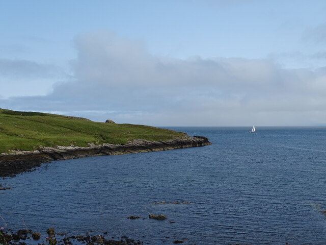
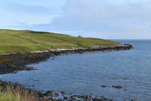
An Laman is a prominent coastal feature located in Inverness-shire, Scotland. It is classified as a headland and point, jutting out into the North Atlantic Ocean. An Laman is situated on the western coast of Scotland, near the village of Arisaig.
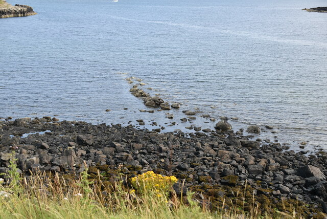
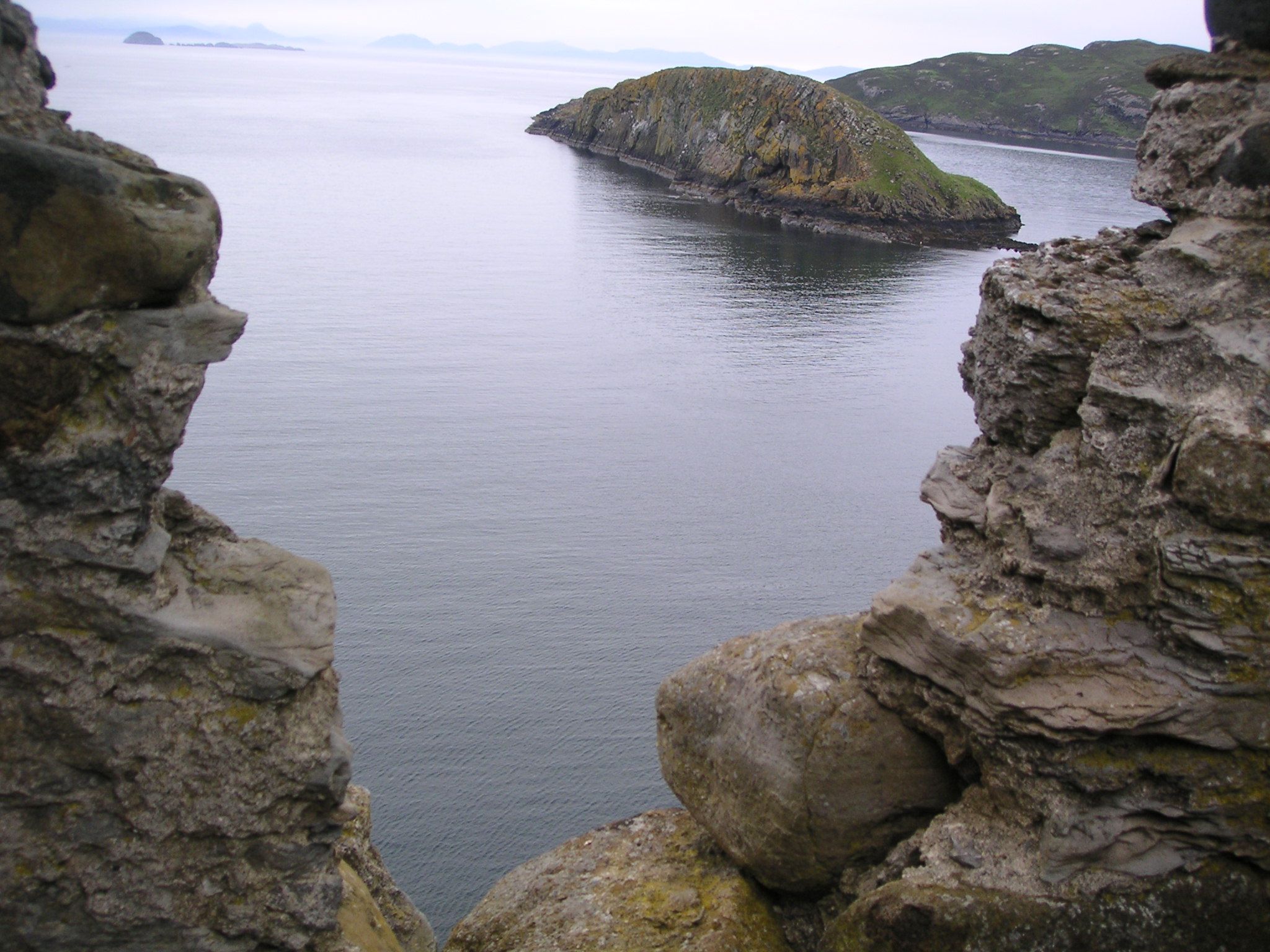
Characterized by its rugged cliffs and rocky terrain, An Laman offers breathtaking panoramic views of the surrounding sea and landscape. The headland is formed by the gradual erosion of the coastline over millions of years, resulting in its distinctive shape and topography. It is a popular destination for nature enthusiasts, photographers, and tourists who appreciate its wild and untouched beauty.
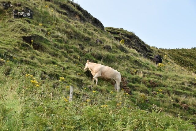
The headland is known for its diverse wildlife, including a variety of seabirds such as gannets, puffins, and fulmars that can be observed nesting on the cliffs. The coastal waters surrounding An Laman are also home to seals, dolphins, and even occasional sightings of whales.
Visitors to An Laman can enjoy a range of activities such as hiking along the coastal path, exploring the numerous sea caves and rock pools, or simply admiring the stunning views. The headland is easily accessible by foot and offers ample parking nearby.
Overall, An Laman is a remarkable coastal feature in Inverness-shire, offering a unique blend of natural beauty and wildlife. Its dramatic cliffs, diverse flora and fauna, and picturesque views make it a must-visit destination for anyone exploring the western coast of Scotland.
If you have any feedback on the listing, please let us know in the comments section below.
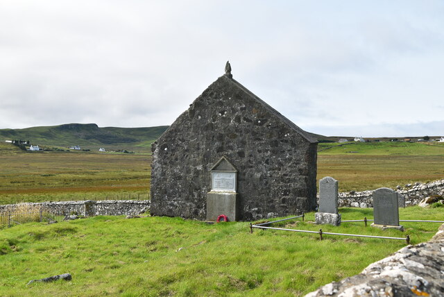
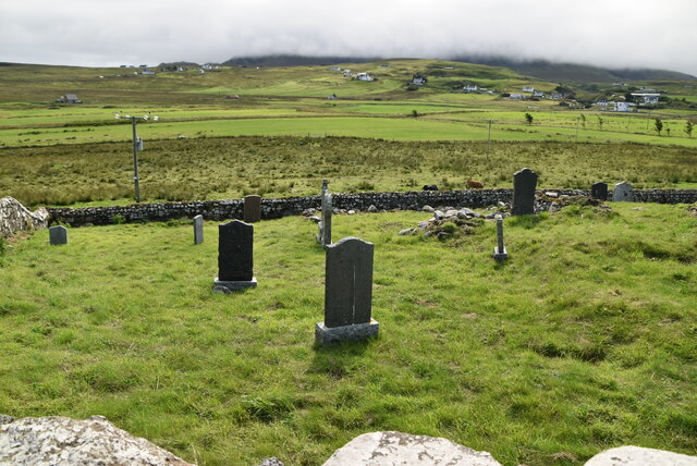
An Laman Images
Images are sourced within 2km of 57.694382/-6.29752 or Grid Reference NG4475. Thanks to Geograph Open Source API. All images are credited.


An Laman is located at Grid Ref: NG4475 (Lat: 57.694382, Lng: -6.29752)
Unitary Authority: Highland
Police Authority: Highlands and Islands
What 3 Words
///even.blotting.grafted. Near Uig, Highland
Nearby Locations
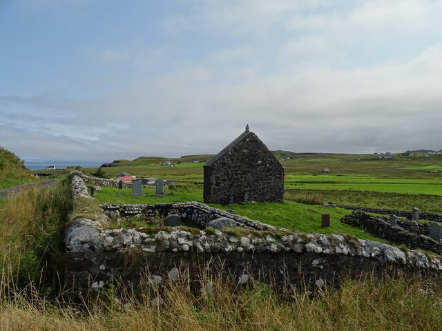
Related Wikis

Kilmaluag
Kilmaluag (Scottish Gaelic: Cill Moluaig, meaning St. Moluag's Cell, Church or Chapel) is a township made up of several small settlements on the most northerly...
Duntulm
Duntulm (Scottish Gaelic: Dùn Thuilm) is a township on the most northerly point of the Trotternish peninsula of the Isle of Skye made up of Shulista (north...

Eilean Trodday
Eilean Trodday is an island in The Minch just off the north coast of the Trotternish peninsula of Skye in Scotland. Eilean Trodday is about 38 hectares...
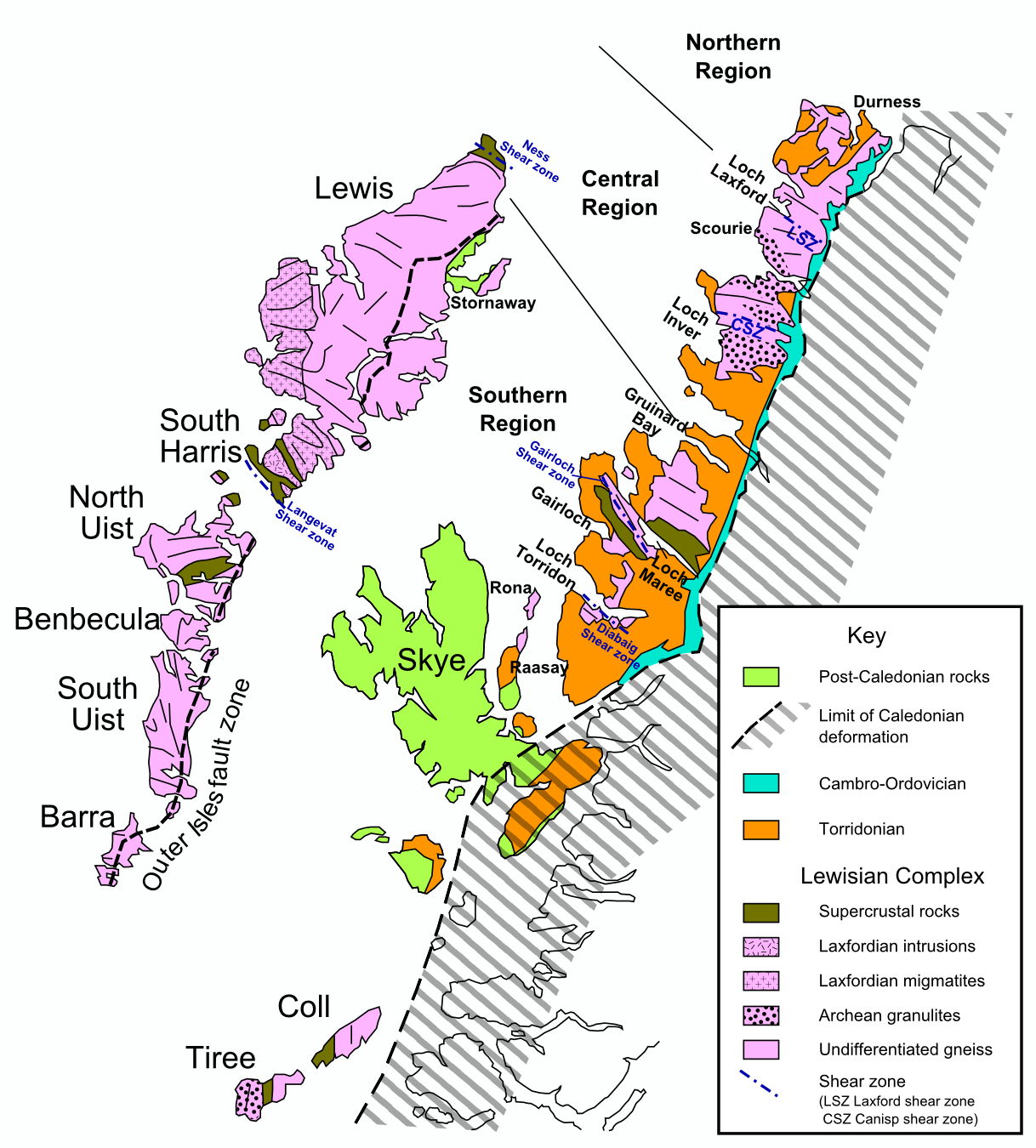
Hebridean Terrane
The Hebridean Terrane is one of the terranes that form part of the Caledonian orogenic belt in northwest Scotland. Its boundary with the neighbouring Northern...
Nearby Amenities
Located within 500m of 57.694382,-6.29752Have you been to An Laman?
Leave your review of An Laman below (or comments, questions and feedback).