Creag Ghlas
Coastal Feature, Headland, Point in Ross-shire
Scotland
Creag Ghlas
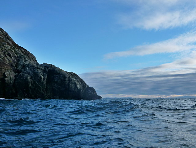
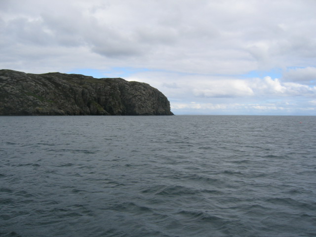
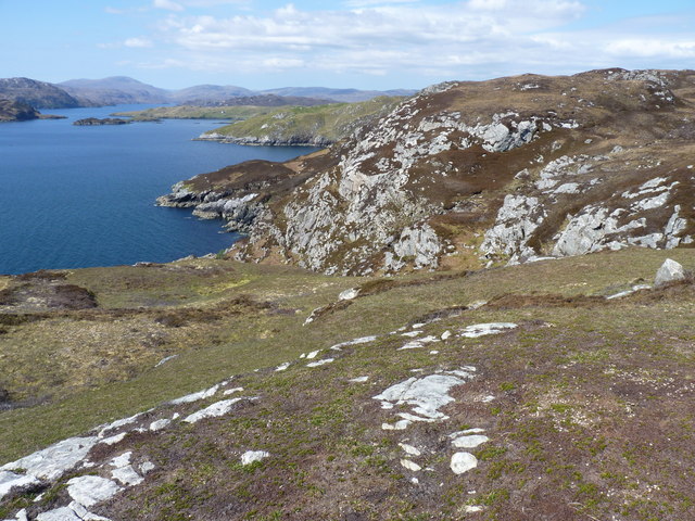
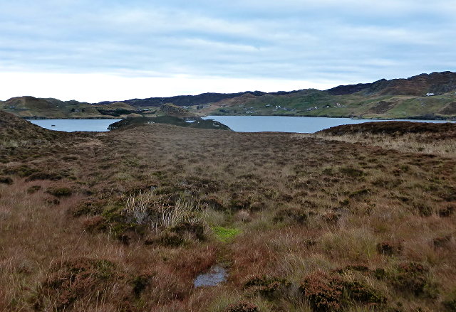
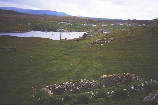
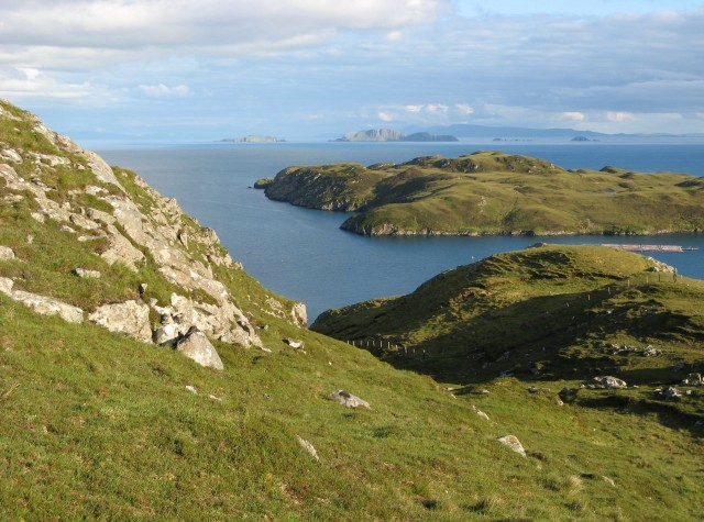
Creag Ghlas is a prominent coastal feature located in Ross-shire, Scotland. Situated on the western coast, it is recognized as a headland or point that extends into the North Atlantic Ocean. The name "Creag Ghlas" translates to "green rock" in Scottish Gaelic, which aptly describes the physical characteristics of this striking coastal formation.
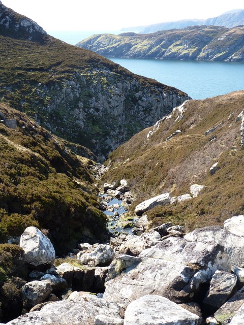
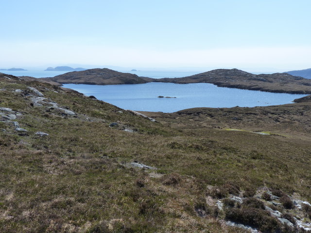
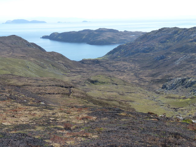
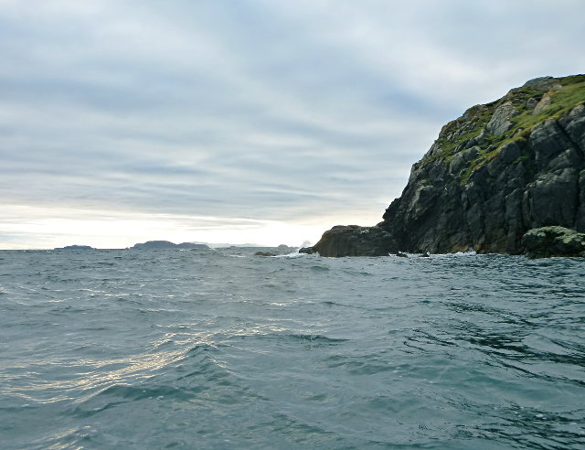
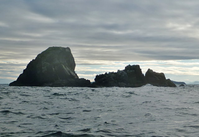
The headland is formed by a combination of rugged cliffs and rocky outcroppings, creating a dramatic and picturesque landscape. The cliffs rise steeply from the shoreline, reaching impressive heights that offer breathtaking panoramic views of the surrounding coastal areas. The rock formations are predominantly composed of dark green metamorphic rock, lending the headland its distinctive name.
Creag Ghlas is known for its rich biodiversity and serves as a vital habitat for a diverse range of marine and bird species. The surrounding waters are home to various fish species, while seabirds such as gannets, puffins, and kittiwakes can often be spotted nesting on the cliffs. The headland also serves as an important breeding ground for seals, which can often be seen basking on the exposed rocks.
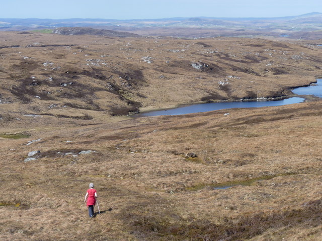
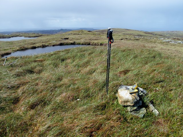
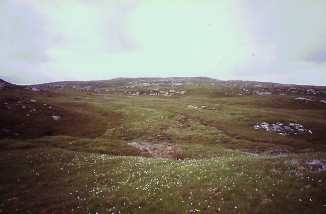
The coastal features of Creag Ghlas make it an attractive destination for outdoor enthusiasts and nature lovers. Visitors can explore the headland by following the network of coastal paths that wind their way along the cliffs, providing stunning views of the coastline and opportunities for wildlife spotting. Additionally, the area offers excellent opportunities for birdwatching, photography, and rock climbing, attracting visitors from near and far.
In summary, Creag Ghlas is a remarkable headland in Ross-shire, Scotland, boasting stunning cliffs, green rock formations, and a thriving ecosystem. Its natural beauty and diverse wildlife make it a must-visit destination for nature enthusiasts and those seeking a picturesque coastal experience.
If you have any feedback on the listing, please let us know in the comments section below.
Creag Ghlas Images
Images are sourced within 2km of 58.005374/-6.4036972 or Grid Reference NB3910. Thanks to Geograph Open Source API. All images are credited.


Creag Ghlas is located at Grid Ref: NB3910 (Lat: 58.005374, Lng: -6.4036972)
Unitary Authority: Na h-Eileanan an Iar
Police Authority: Highlands and Islands
What 3 Words
///dentures.claw.smashes. Near Leurbost, Na h-Eileanan Siar
Nearby Locations
Related Wikis

Eilean Liubhaird
Eilean Liubhaird or Eilean Iubhard is an island in the Outer Hebrides, to the east of Lewis. == Geography and geology == The rock is "gneiss bedrock with...

Orinsay
Orinsay (Scottish Gaelic: Orasaigh) is a crofting village on the Isle of Lewis in the district of Pairc, in the Outer Hebrides, Scotland. The settlement...

Stiomrabhaig
Stiomrabhaig is an abandoned crofter's village on the Isle of Lewis in the Outer Hebrides. == History == The United Kingdom Census 1851 shows that the...

Gravir
Gravir (Scottish Gaelic: Grabhair), is a village on the shore of Loch Odhairn (a sea loch) in the Park district of the Isle of Lewis. Gravir is within...

Calbost
Calbost (Scottish Gaelic: Calabost) is a village on the Isle of Lewis in the Outer Hebrides, Scotland. Calbost is within the parish of Lochs, and within...

Park, Lewis
Park (Scottish Gaelic: A' Phàirc), also known as South Lochs, is a huge area of land connected to the rest of Lewis only by a narrow neck between Loch...
Nearby Amenities
Located within 500m of 58.005374,-6.4036972Have you been to Creag Ghlas?
Leave your review of Creag Ghlas below (or comments, questions and feedback).